“Progress is not linear”
Maria Montessori
Day 13 – 14
- Day 13 – Omahuta Forest Road to Puketi Forest HQ ; 35 km
- Day 14 – Raetea Forest ; 18 km
Total hiked: 398 km
Let the flip flopping begin!
Due to lockdown restrictions I was forced to skip the notorious Northland Forests, which in hindsight given the state I hobbled off Ninety Mile Beach in was probably a good thing. But now, in order to complete the remaining parts of Northland before heading to Auckland I had to welcome the mud!
If you look at a map or have hiked Te Araroa before you may notice that I completed the forests in a NOBO (north-bound for those not down with the hiking lingo) direction and the reason for this being RAIN, more specifically FLOODED STREAM concerns from RAIN. Realising that I was going to have to walk one of the forests in wet conditions I was faced with the decision of risking copious mud puddles in Raetea Forest or floating down the Mangapukahukahu Stream, the latter seemed worse. So NOBO hiking it is!
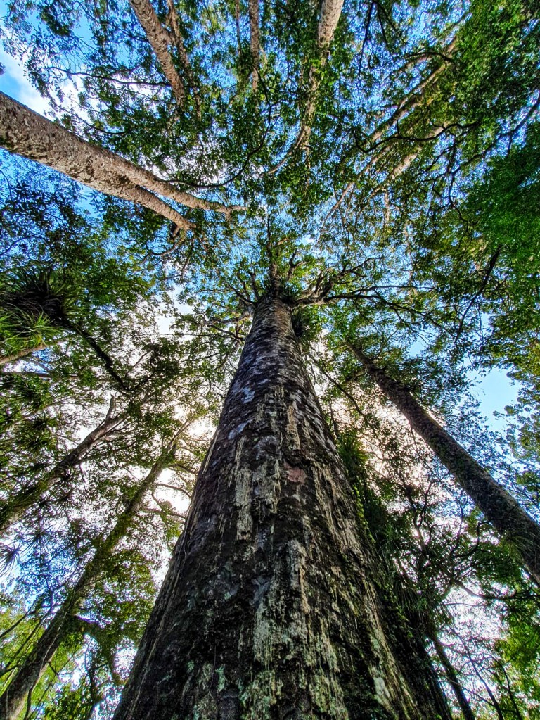
Omahuta and Puketi Forests are normally completed in two days due to the road walking requirements in-between the forests and no camping allowed within the two forests. Whilst I do love a good road walk (note the sarcasm), in raining conditions with stream flooding and time constraints I opted to slack-pack (hiking with a day-pack while your backpack gets transported to the destination or in my case left at home) as this would make me lighter and hopefully faster in my trotting. Albeit this decision wouldn’t have been possible if I didn’t still live in Whangārei.

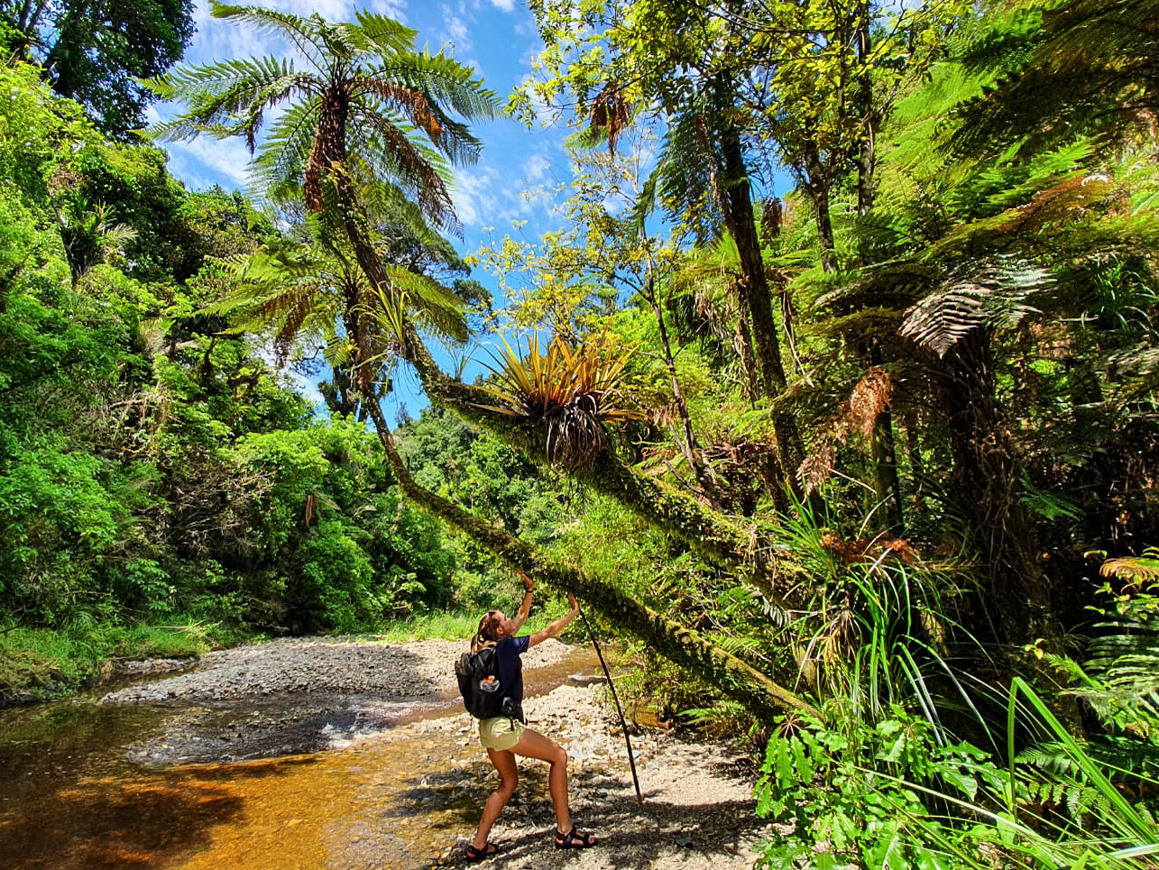
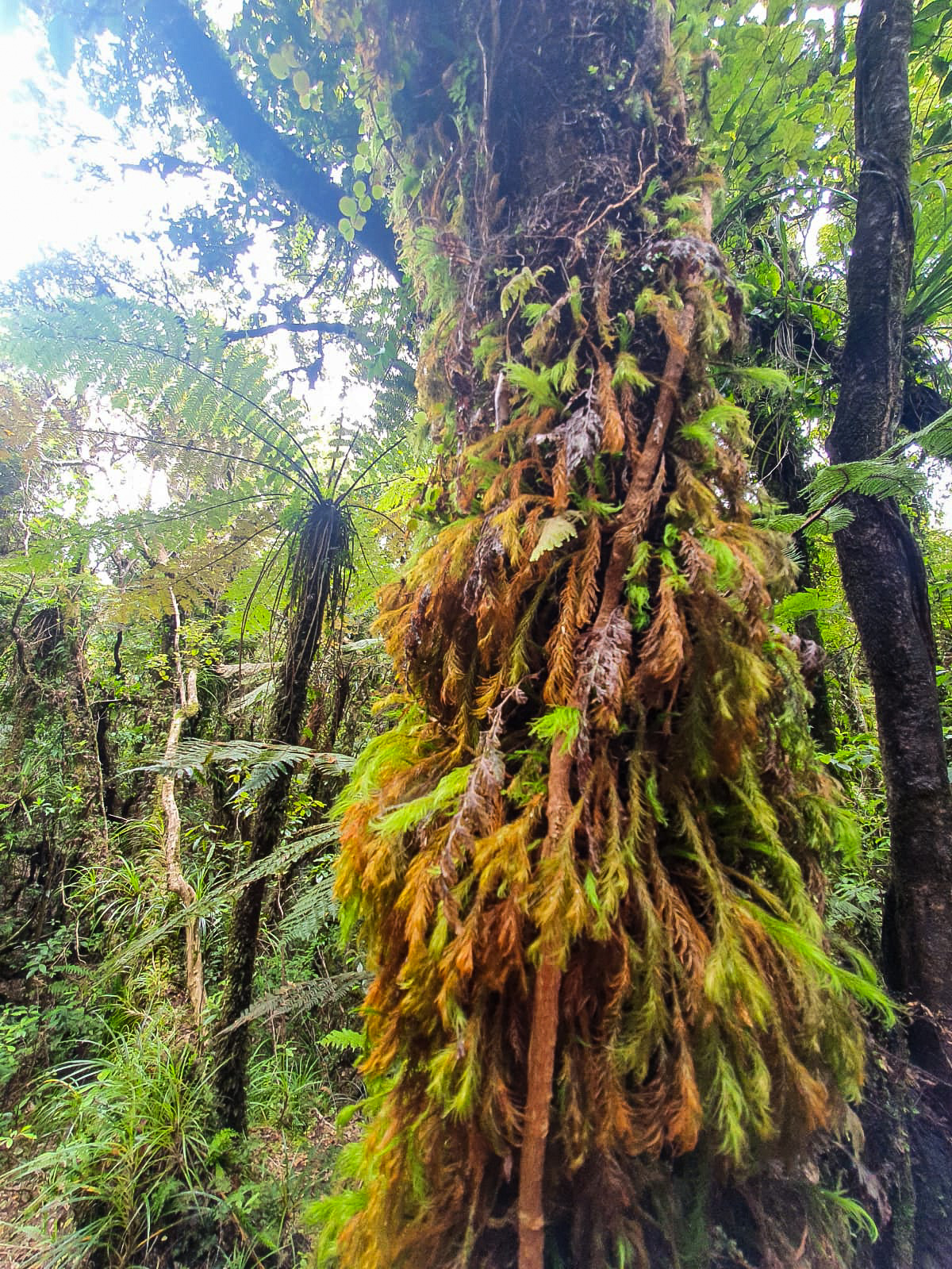
Starting from the Omahuta Forest road end I walked in a west to east direction, initially along gravel road, turning into compact dirt and latter a muddy bog trail to the start of the Mangapukahukahu Stream.
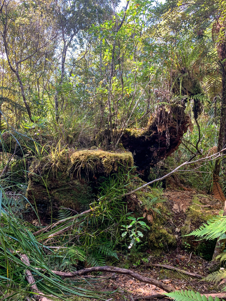
But not without passing a landmark – this giant tree stump. You may be wondering why? Well both Google and the TA trail notes highlight this stump as a possible point of interest, though slightly off the trail. Let me tell you, not only have I seen bigger tree stumps, I even saw bigger tree stumps within this very forest, but if this detour had been longer than 70 metres then I may have lost the plot (especially if I thought back to this moment 10 hours later as I waddled sweaty, tired and dehydrated out of Puketi Forest). But since I visited it I thought it best to share this magnificent stump so that no one else has to visit it!
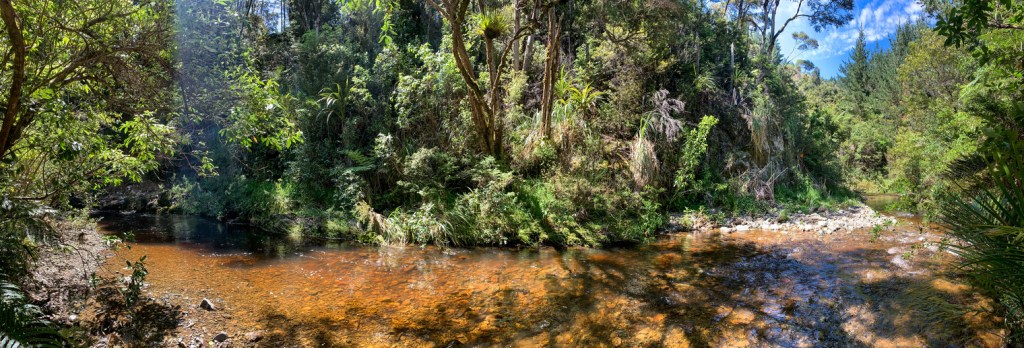
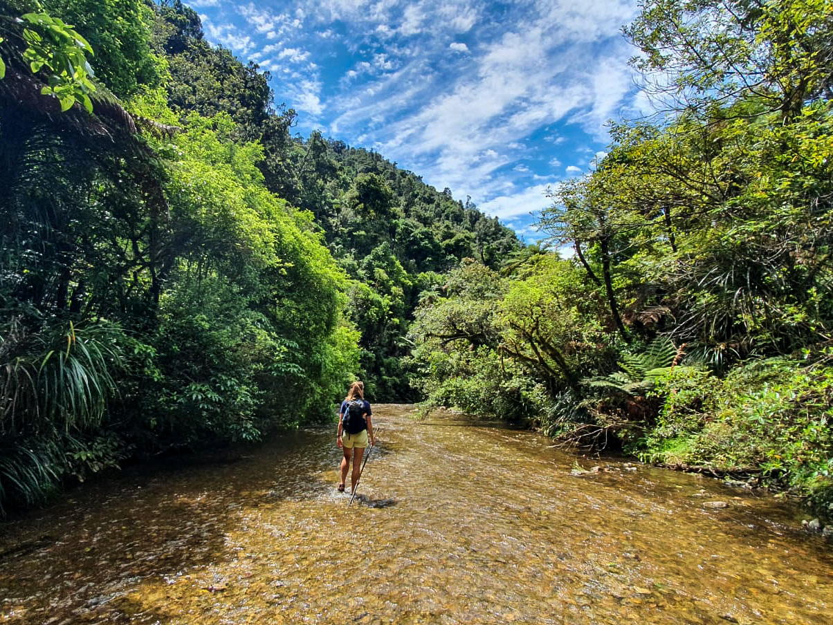
Mangapukahukahu Stream was a delight 🙂 In non-raining conditions and given the recent weather Northland had, the stream wasn’t overflowing; nil mangrove sludge, had a cooling effect on my usually overheating feet and is a coca cola colour. While the colour may deter some, I’m not judgy when it comes to my stream colours. Whilst I trotted through the stream criss-crossing between rock formations and waddling in ankle to shin sometimes knee high water, I felt like my river confidence had drastically improved and was really enjoying this style of hiking. Until the end.
Where the stream forms a confluence to create the Waipapa River there are orange triangles to mark the lowest possible route across. Unfortunately, unlike the rest of the stream with gentle currents and barely deep water this part at mid-thigh depth and quickly flowing had an undeniable force. As I shuffled myself across, knees bent and legs wide apart I became panicky rather quickly. I did safely make it across though and rewarded myself with lunch and a swim (back in the gently flowing water obviously) 🙂
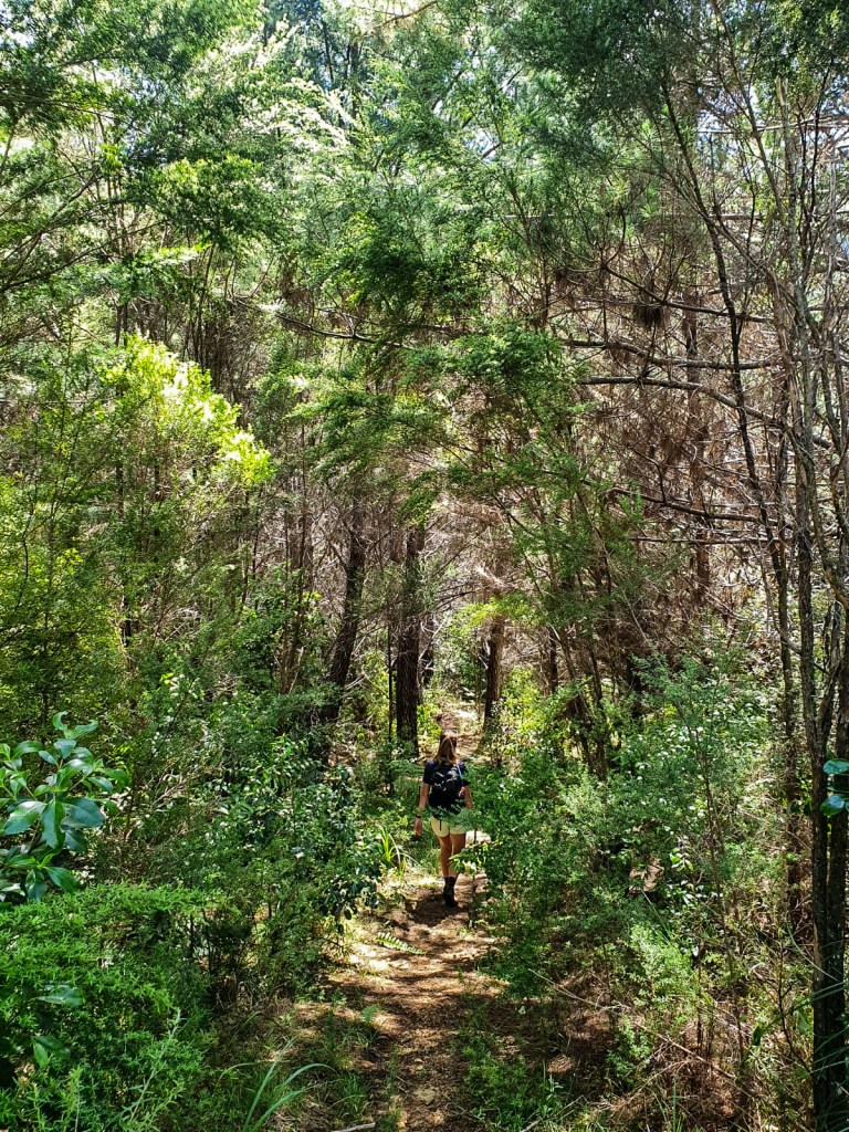
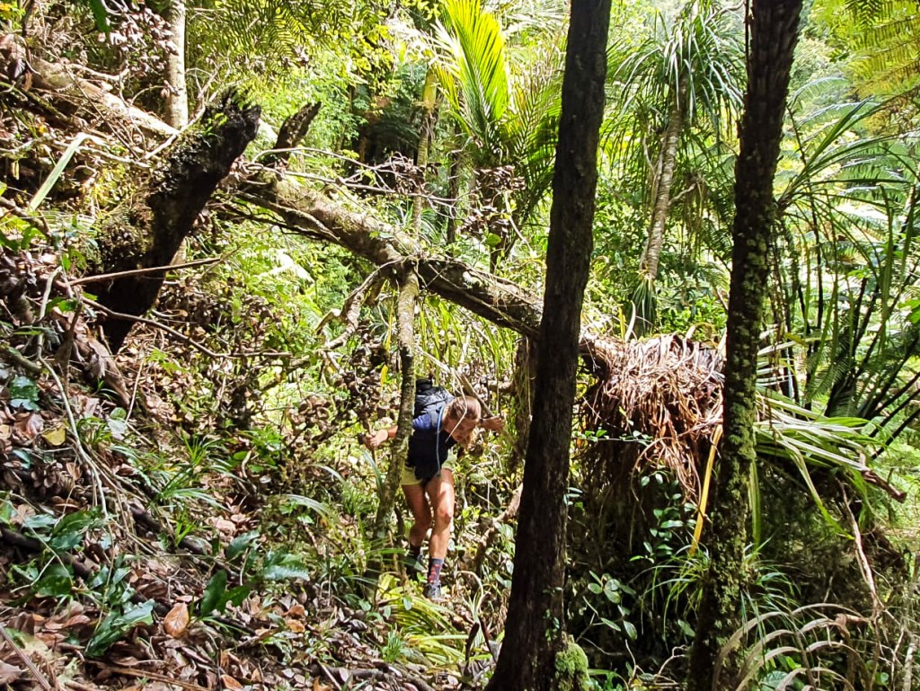
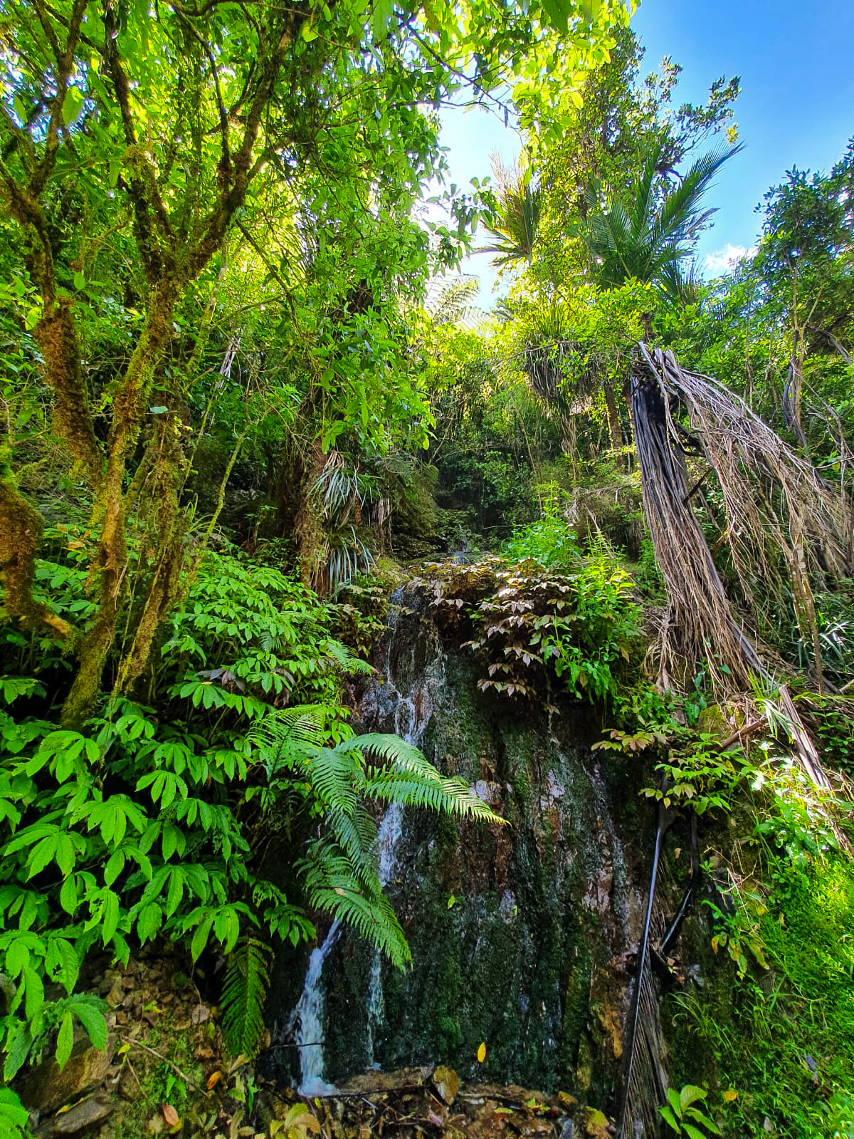
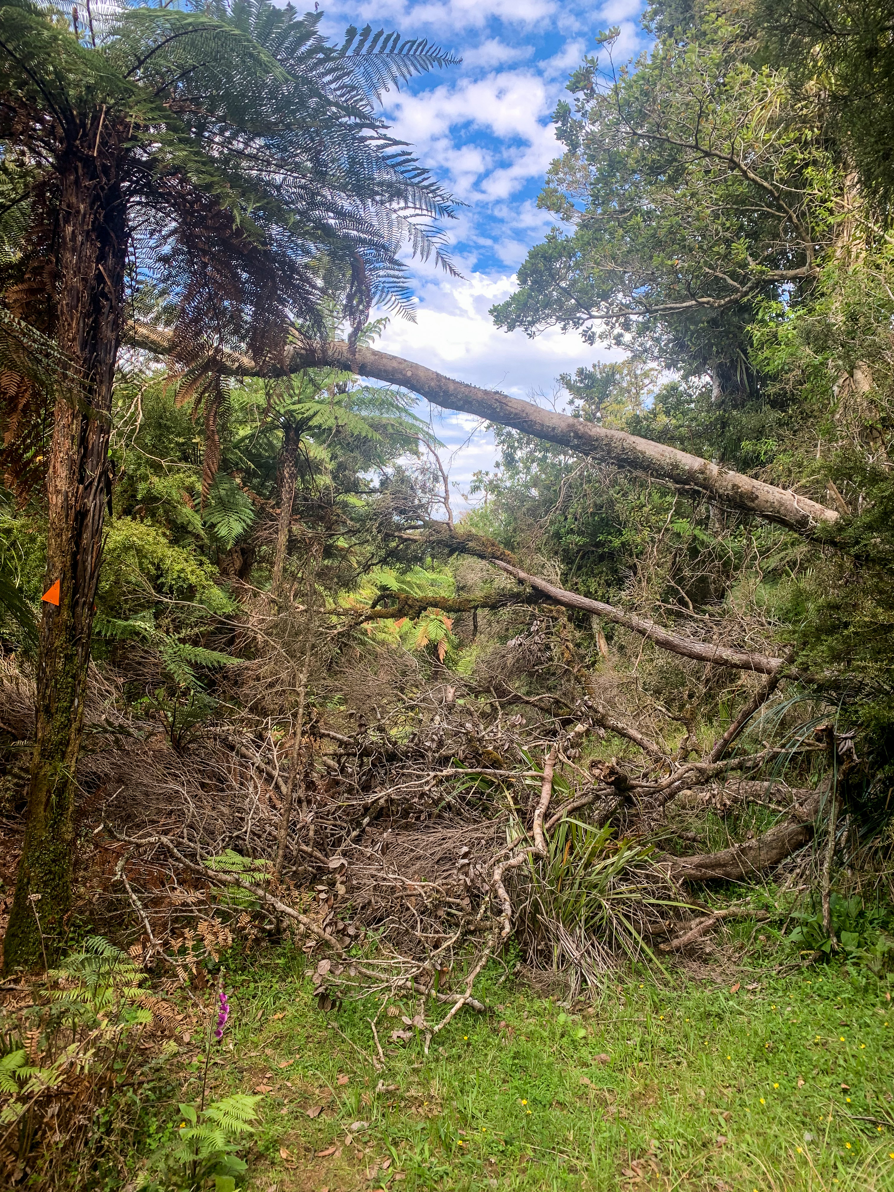
After this the trail continues through Puketi Forest, across fallen trees, paths lost to land slips and excessive mud puddles with spontaneous boardwalk and stair formations scattered in-between.
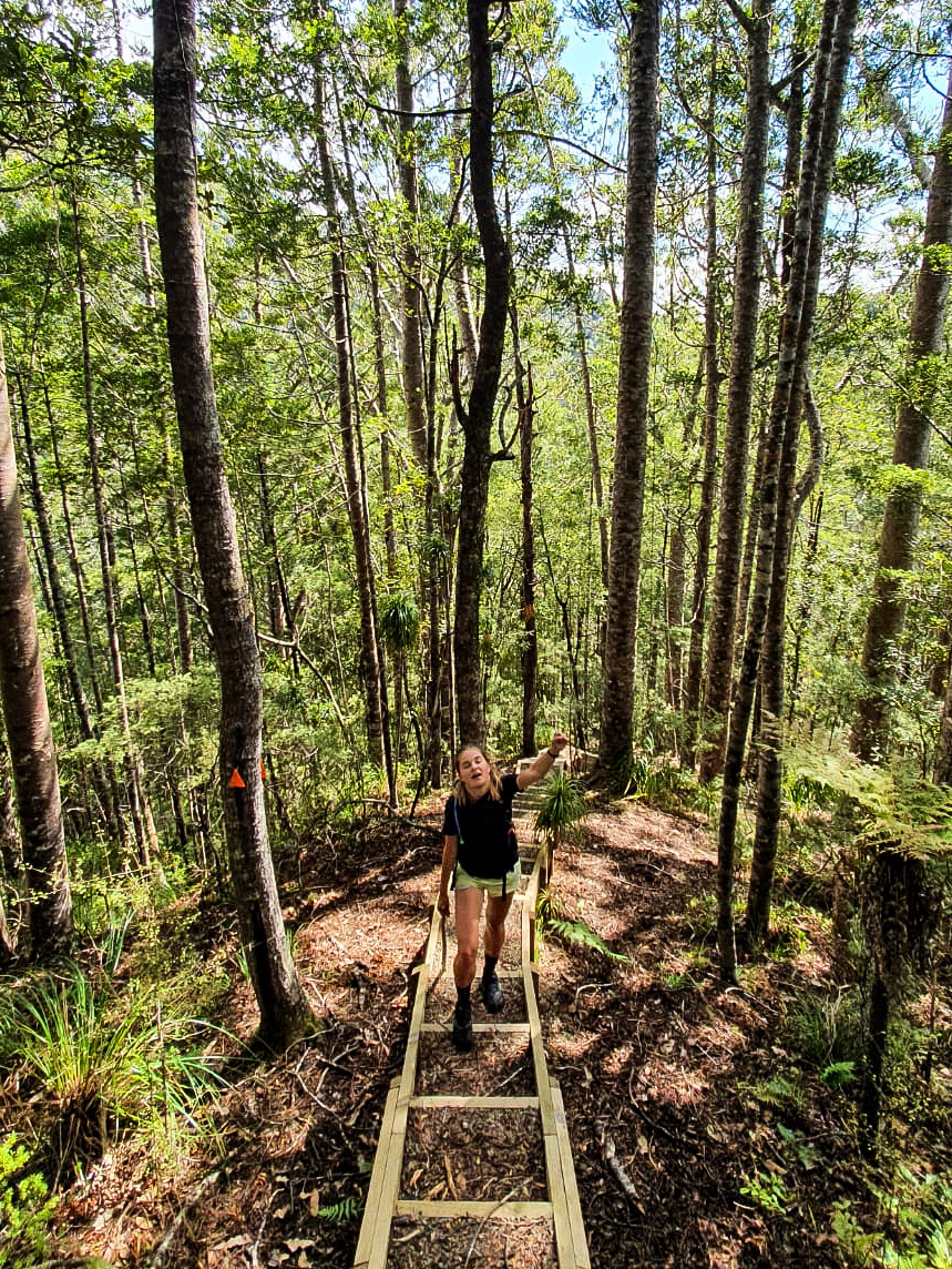
Normally I love the natural aspect of walking in a forest with barely formed trails and no sign of mankind, but I definitely jumped for joy (or fist pumped the air as the picture shows) when I saw the staircase leading up the 450m elevation realising I wasn’t going to have to fight slipping down the hill any longer.
The long day ended with a 9 kilometre gravel road walk into Puketi Forest HQ/campsite and a feeling of satisfaction at completing half of the Northland Forests, now to conquer Raetea Forest… in the rain 😦
If you know anything about the TA trail then I’m sure you have heard people mention the mud in Raetea Forest. Hikers who are in the Tararua’s still have nightmares about this mud, it is voted one of the top 3 worst parts of the entire trail and its only 18km! But ready as I’d ever be I set out bright and early (super duper early) to trot this forest once and for all.
Predicted to be a heavily rainy day with moderate winds I couldn’t have been happier to arise in the morning (ridiculously earlier again I might add) to an overcast sky.
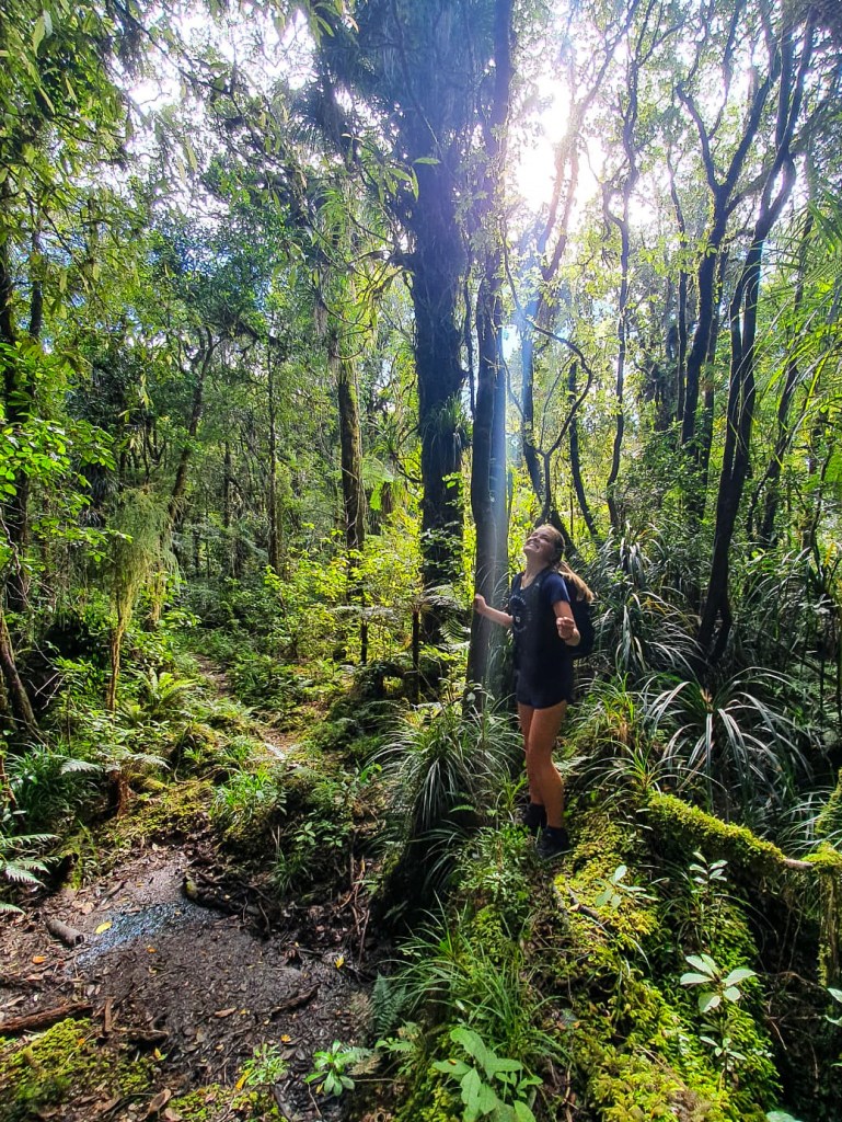
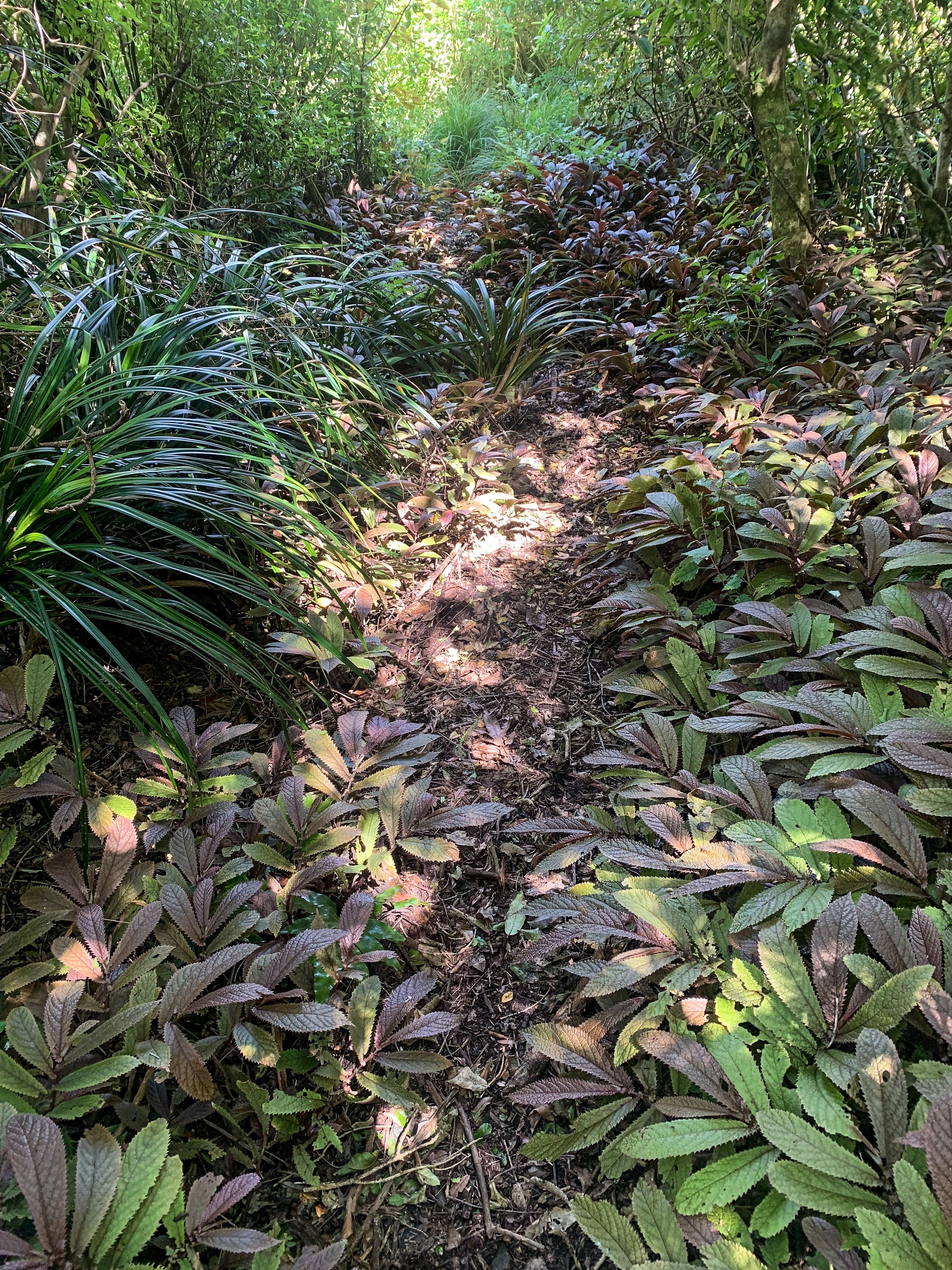
Not once during the entire walk did it rain where the clouds eventually moved and provided this beautiful glow throughout the forest. Though it did become very humid in the tree canopy cover, at least I was protected from the sun.
The only thing I had to contest with that day was mud and it wasn’t even that bad.
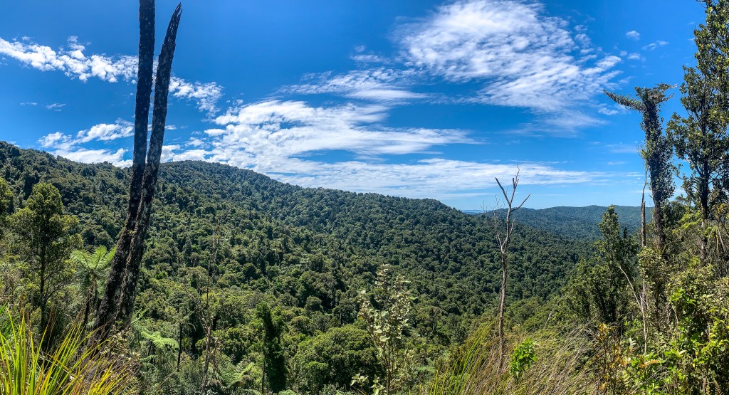
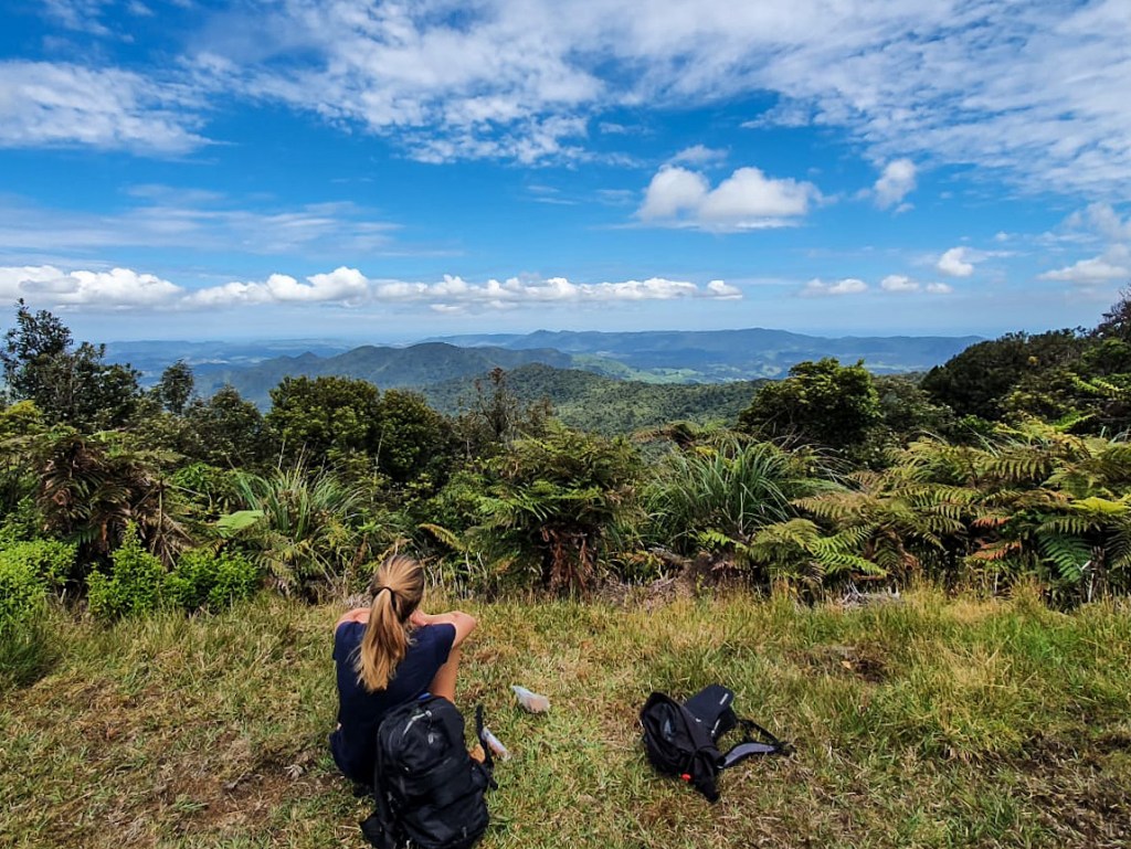
Maybe it was all the tales from others and reading peoples comments that prepared me for “horrendous Stewart Island level mud” as one trail walker in a previous season quoted but it was actually fine. Yes there were mud puddles. Yes placing a stick in them demonstrated that the mud would have gone quite far up my leg. But the mud was usually avoidable with a strategically placed branch or tree root and hopping adventure across, plus the views from Raetea summit were excellent.
Over the course of the forest I reached four peaks ; Raetea summit at 744m elevation, an unnamed highpoint near Mangamuka at 727m, Kumetewhiwhia summit at 638m and Umaumakaroro summit at 445m. Overall I enjoyed it. 🙂
Northland Forests complete!
For those pedantic soles (I am one of them) who realise I have missed road walking kilometres of state highway 1 from Ahipara to Kaitaia and in-between the forests don’t fret. I made up the remaining 45 kilometres walking around Whangārei and Dunedin when I was there this past week. Walking Mt Cargill and Parihaka Hill seemed much safer than state highway 1.
Until next time, remember to HYOH (Hike Your Own Hike) and happy trotting everyone.

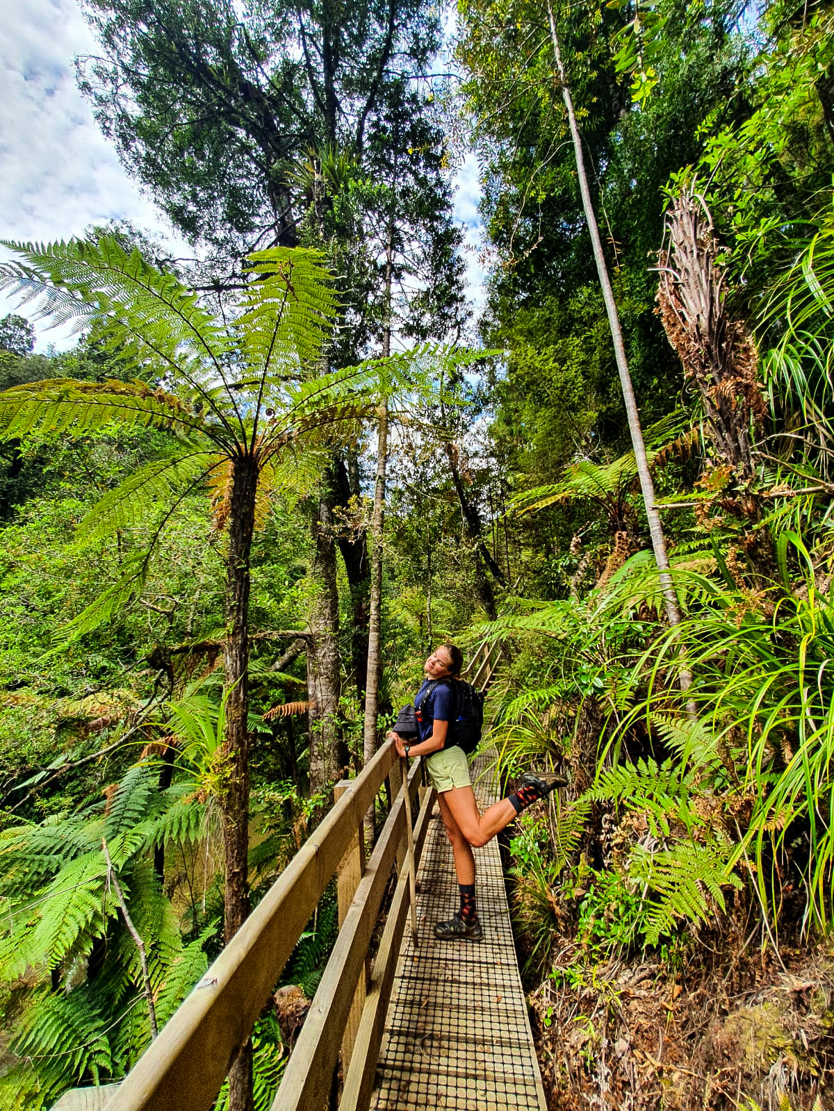
Once again another good read, your normal bridge pose photo, great stuff, well done
LikeLiked by 1 person