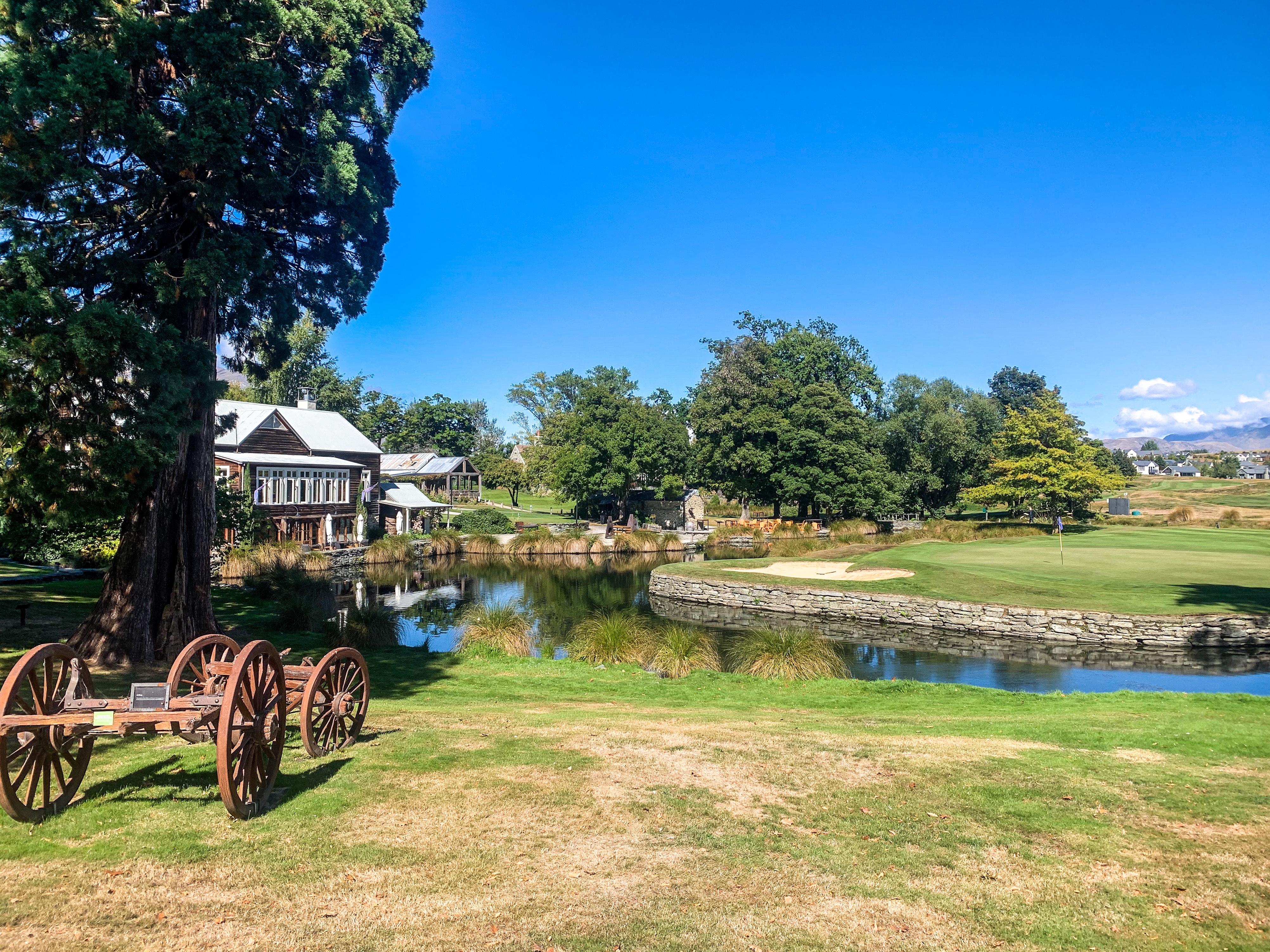
Before embarking on my next adventure it’s probably best I wrap up this one. 🙂
If you missed my previous post recently I have been perusing through my Te Araroa footage and reminiscing on the trot that was. All the muesli bars consumed, mud holes slipped into and mountains summited. While I have thoroughly enjoyed this I thought maybe you might too? So I have complied together some of my favourite parts into two separate videos; Te Ika A Maui/North Island and Te Waipounamu/South Island.
The footage you see was all filmed and edited by myself and the sequences of the video/ photographs are also complied in the SOBO order trotted – the purist in me remains 😛 haha
So without further ado here is the second video: Te Araroa – Te Waipounamu.
Enjoy 🙂
And if you missed last weeks post the North Island video can be found there or here
You didn’t think the thru-hike posts were over did you??? 😛
Amongst planning other adventures I have been perusing through all my Te Araroa footage and reminiscing on the trot that was. Then I thought maybe you’d want to too?
And by you I mean my mum; thanks mum for all your post comments 😉
So without further ado here is: Te Araroa – Te Ika A Maui also known as my thru-hike of the North Island of New Zealand (don’t worry the South Island video is next)
Enjoy 🙂
You can also check out the video on Youtube itself if you find that easier.
Yup I made an account, pretty snazzy if I do say so myself!
“Happy, free, confused and lonely in the best way”
Taylor Swift – 22
Never far from the trail 😉
And we’re back. 🙂
After trotting to Bluff and completing Te Araroa one might wonder what do you do now? Well I don’t know.
What I do know however is that I have really enjoyed writing this blog, collating my experiences/thoughts/pictures into one (kind of succinct) post and sharing my adventures. Without planning to immediately trot another thru-hike, trust me the idea crossed my mind, I would need to find another topic to blog.
And that’s where we are now…
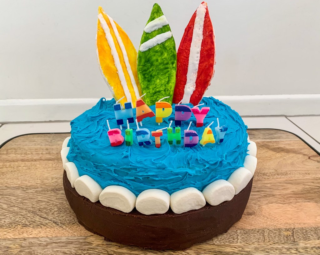
Since stopping trotting N.D and I went back to our hometowns to catch up with family and friends, celebrate a birthday and find swell (he was getting quite bad surf withdrawals).
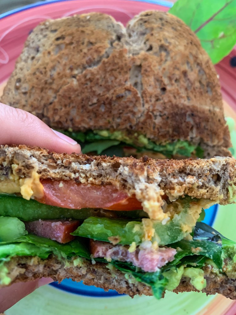
We’ve visited some of our favourite spots in New Zealand, started running again and eaten everything we missed on the thru-hike.
Toast!!!
While I do not know exactly what the next year, month, even week of my life will entail I do know that there are a things I want to try, achieve and continue to enjoy… so that’s what my blog will be.
Maybe with a hike thrown in every now and then. 🙂
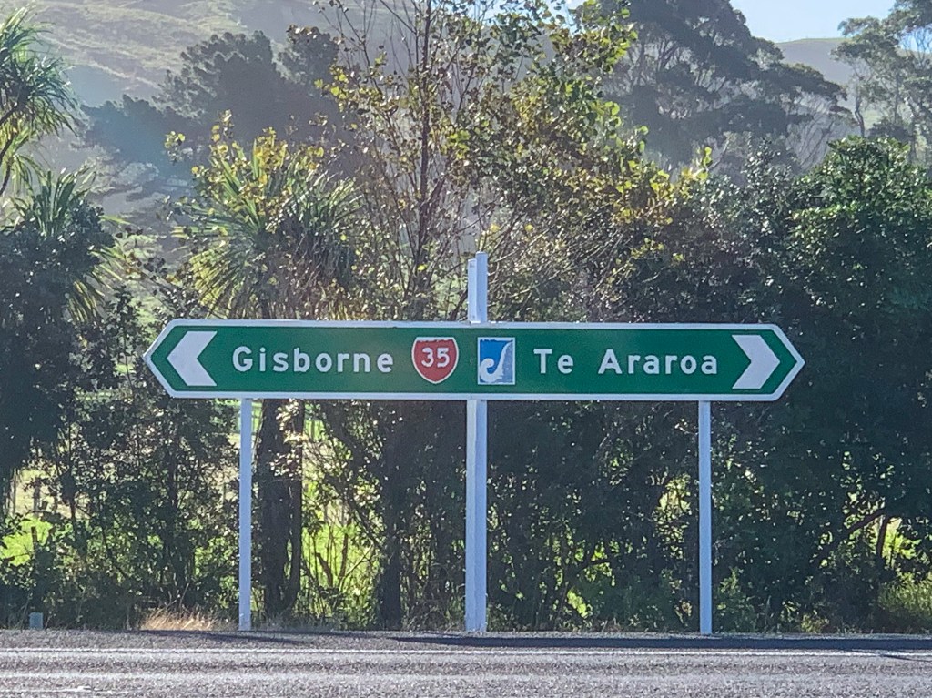
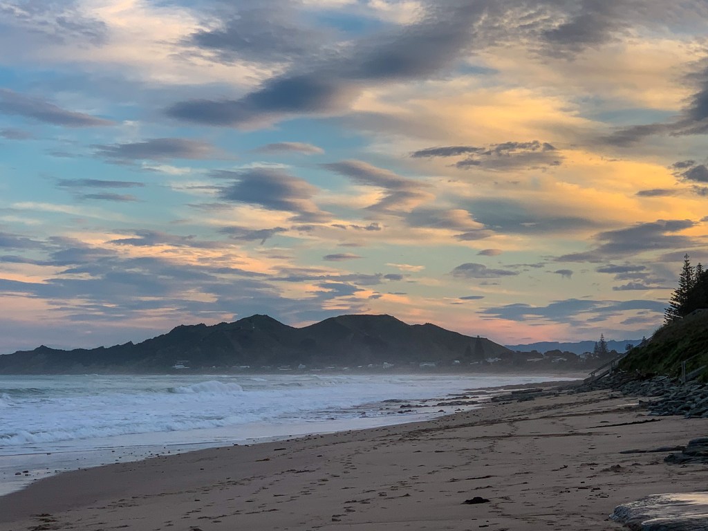
Wainui Beach, Gisborne
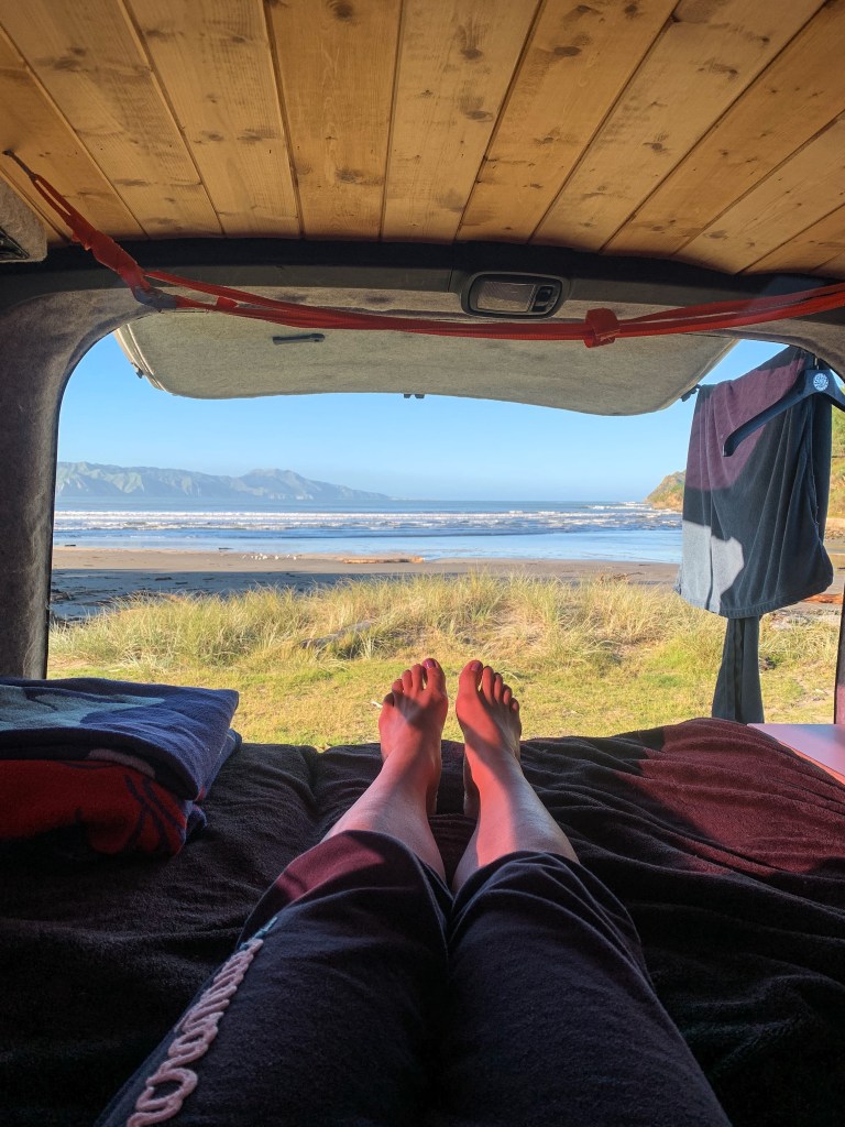
So if that sounds interesting to you, settle in, get a cuppa and enjoy van life, surf trips, New Zealand sightseeing and the many books I read every month. Oh and we have a very exciting overseas trip planned for later in the year but I’ll share more on that later. 😉
“When it feels scary to jump, that’s exactly when you do otherwise you end up staying in the same place your whole life”
Abel Morales
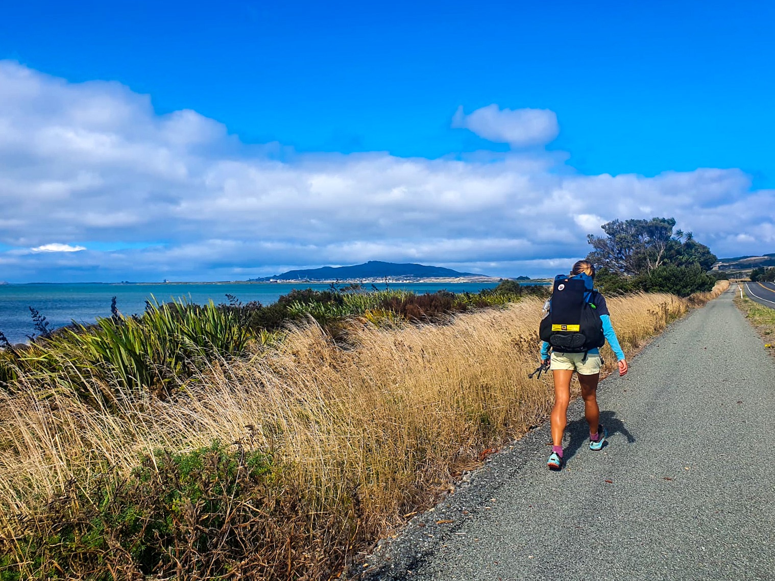
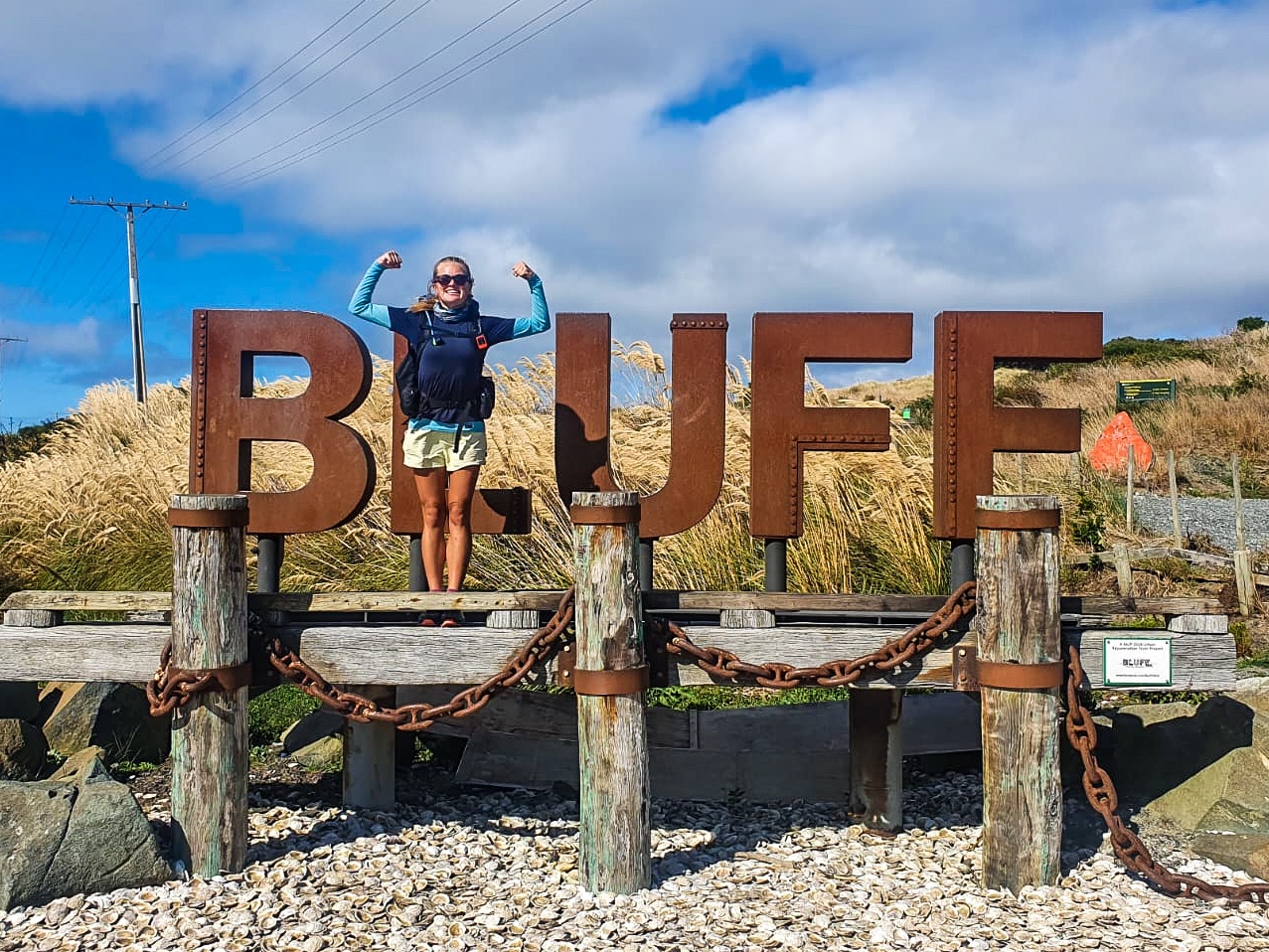
Day 111
Day 111 – Invercargill to Bluff ; 39 km
Total hiked: 3012 km
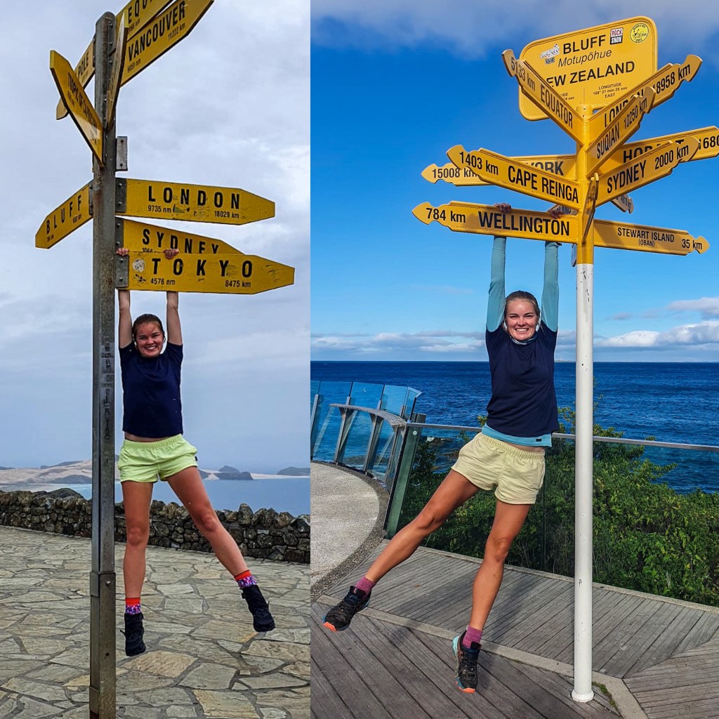
We completed the South Island. 🙂
After leaving Invercargill we trotted in a westerly headwind all day along the estuary, state highway 1 and around Bluff Hill/Motupōhue to Stirling Point.
We reached the end of Te Araroa!
WOW.
WE DID IT
I did it!
Trotted over 3000 kilometres.
Completed Te Araroa.
Realised that the only person that needs to believe in me for my life to be successful is me 🙂
While I am absolutely thrilled to have accomplished this, this hasn’t provided me with all the answers that I wanted for my life and thats okay. I have come to realise that nothing will. Change is inevitable. Good days, bad days, fun days, less-fun days are all part of life. What determines how each day goes comes down to perspective. Not the opinions of your friends, family, colleagues, randoms or society but you; how do you view yourself and what do you want to achieve each day. 🙂
What this trot has taught me is that much like the trail itself life is messy, chaotic and ever changing. No two hikers journey on Te Araroa are the same nor are peoples lives. For that reason I need to stop comparing myself to everyone else and live my own life.
Choose your own adventure! Your only limit is your mind. And to avoid sounding waaaay too much like an inspirational bumper sticker, I leave you with this…
“This life is mine alone so I have stopped asking people for directions to places they’ve never been”
Glennon Doyle
CHUFFED
But I didn’t get here alone it took a village of people to help my 6 year dream of trotting the length of the country become reality and I want to thank every single one of them.
❤️ Arohanui to; ❤️
Nate/N.D
My parents (Kathy and Haydn)
Granny Lorna
José and Mark
Whangarei ED doctors and nurses, especially Sam P (text and phone call support👍)
Mike, Erin and your 3 sons
Alice and Teresa for all your supportive comments (they especially helped when I was alone for weeks)
Sarah, Alex and Murphy
Gary, Jeni and Noel
Charlotte (ultimate and favourite tour buddy!)
Jules and John in Ahipara
Steva and her mum Delwyn
Marie on Ninety Mile Beach
Alex and Dave in Helena Bay
Casey and John on Kaimango Road
Anthony and Fiona (a.k.a. Whin and Whiona) in Palmerston North
Geoff and Sue in Paekākāriki
Nicci from Piwaka Backpackers in Picton
Bill at The Sanctuary in Arthur’s Pass
Darren at Methven campsite
Mike from Geraldine
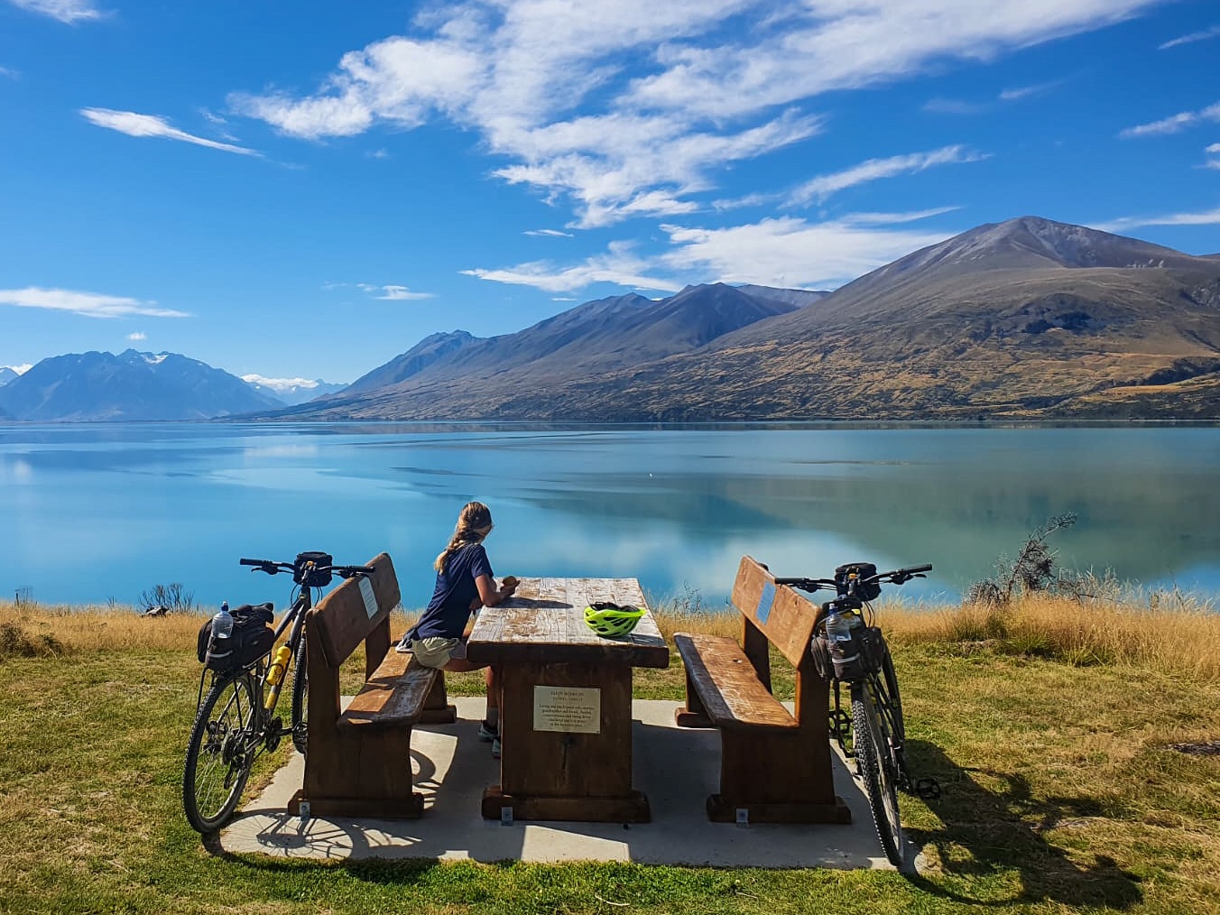
Annie at Bespoke Cycles in Tekapo
Shawn and Connie (topnotch hitchhiker collectors)
Mark and Jess in Te Anau
Sarah and Dean at Birchwood Station
And for anyone else reading this… know you can always ask for help and if you do you may achieve something pretty extraordinary!
At the signpost in Cape Reinga and Bluff
“Sometimes the hardest part of the journey is believing you are worthy of the trip”
“Don’t cry because it’s over, smile because it happened”
Dr Seuss
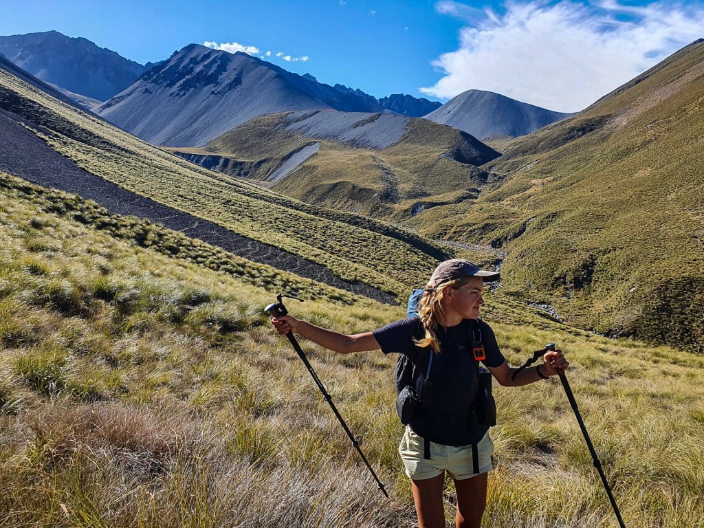
Day 105 to 110
Day 105 – Princhester Road to Aparima Hut ; 22 km
Day 106- Aparima Hut to Telford Campsite ; 22 km
Day 107 – Telford Campsite to Birchwood Station ; 30 km
Day 108 – Birchwood Station to Melville Hut ; 28 km
Day 109 – Melville Hut to Martins Hut ; 30 km
Day 110 – Martins Hut to Invercargill ; 44 km
Total hiked: 2973 km
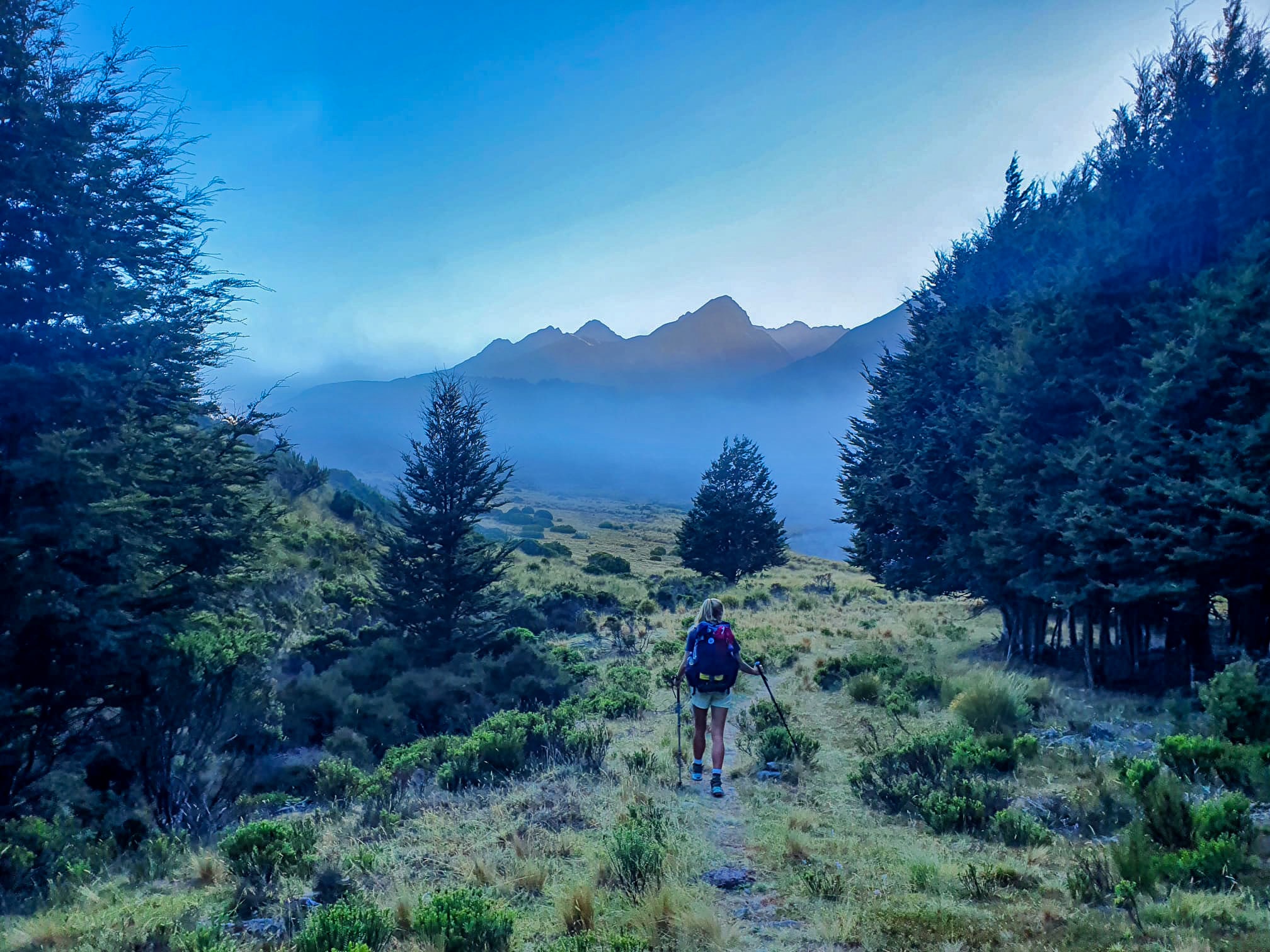
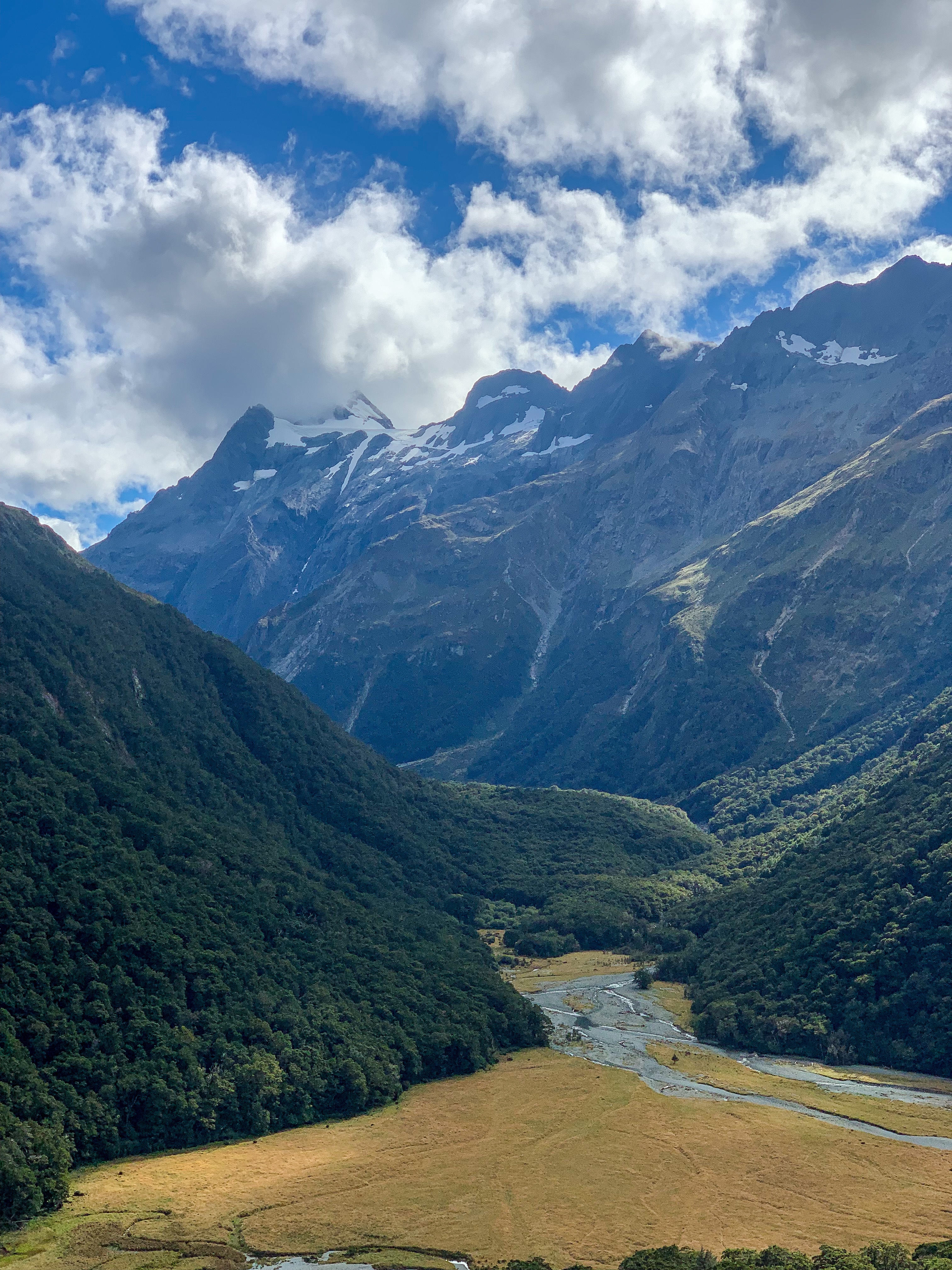
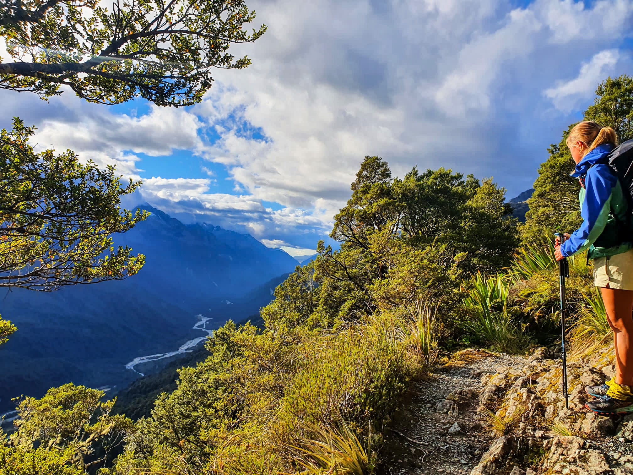
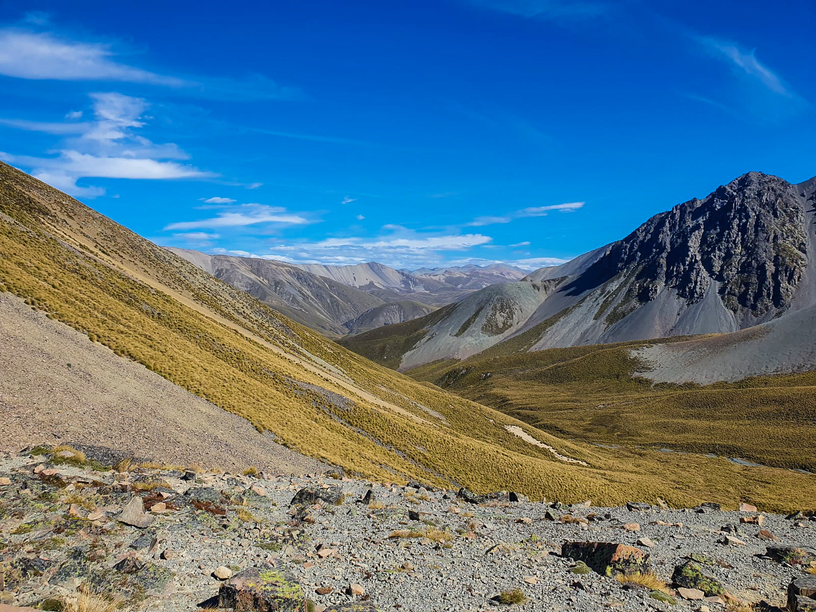
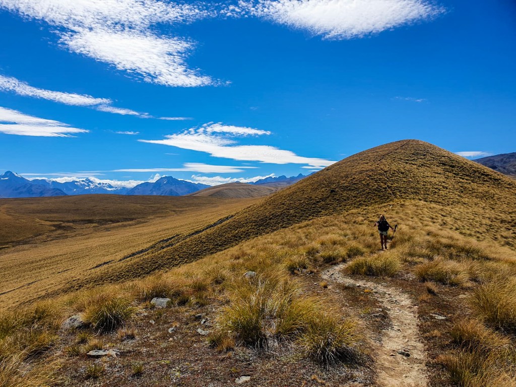
Starting Southland; the last section of Te Araroa. Trotting this felt like I had gone back in a time machine but in reverse… I’ll explain that more.
Views of the Tākitimu Ranges from Birchwood Station
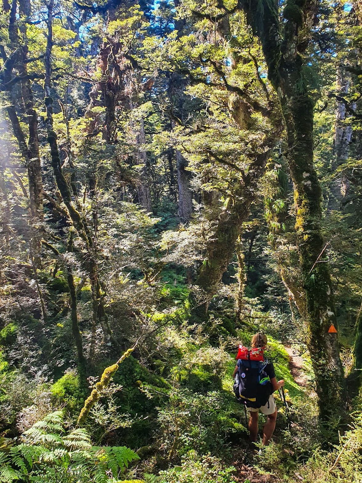
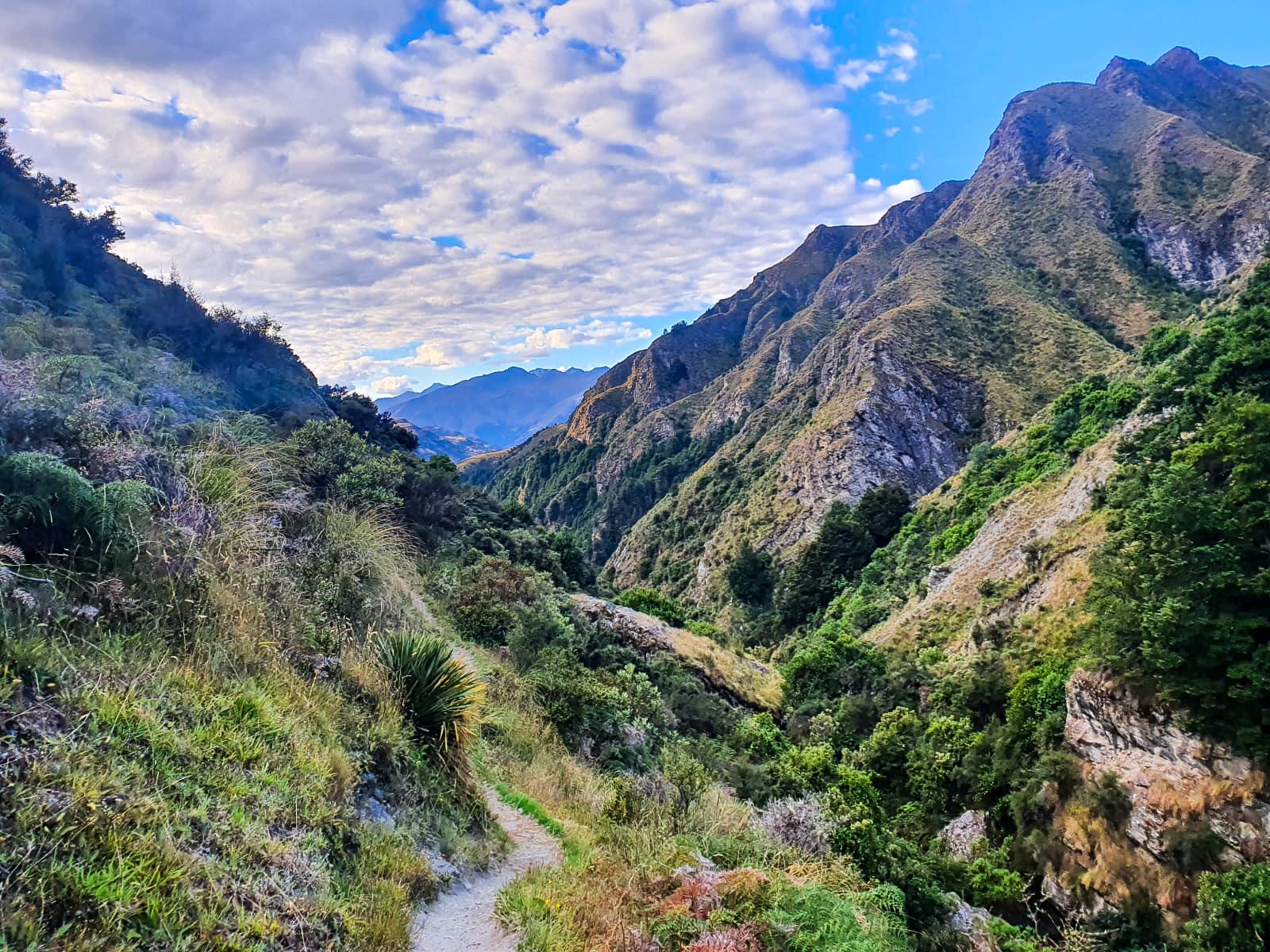
Southland started with the Tākitimu Track from Lower Princhester Hut through the Tākitimu Ranges to Linton Station. The track consisted of time spent lost in tussock, scrambling around rocks, crossing streams and traversing many, many undulating parts of forest. Having been pre-warned in the trail app of the tracks poor maintenance we packed heaps of snacks, allowed extra time and played some bangin’ tunes. It was great fun! The trail reminded me of my time trotting in the Northland Forests, I even remember starting one morning with a beanie on because it was windy, now I start with thermals, gloves, beanie and rain pants on every morning.
The nostalgia continued as we made our way through Linton Station; New Zealand’s largest working farm, giving me flashbacks to my time trotting through Northland and Waikato farms.
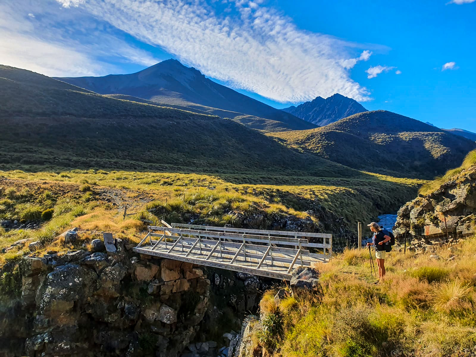
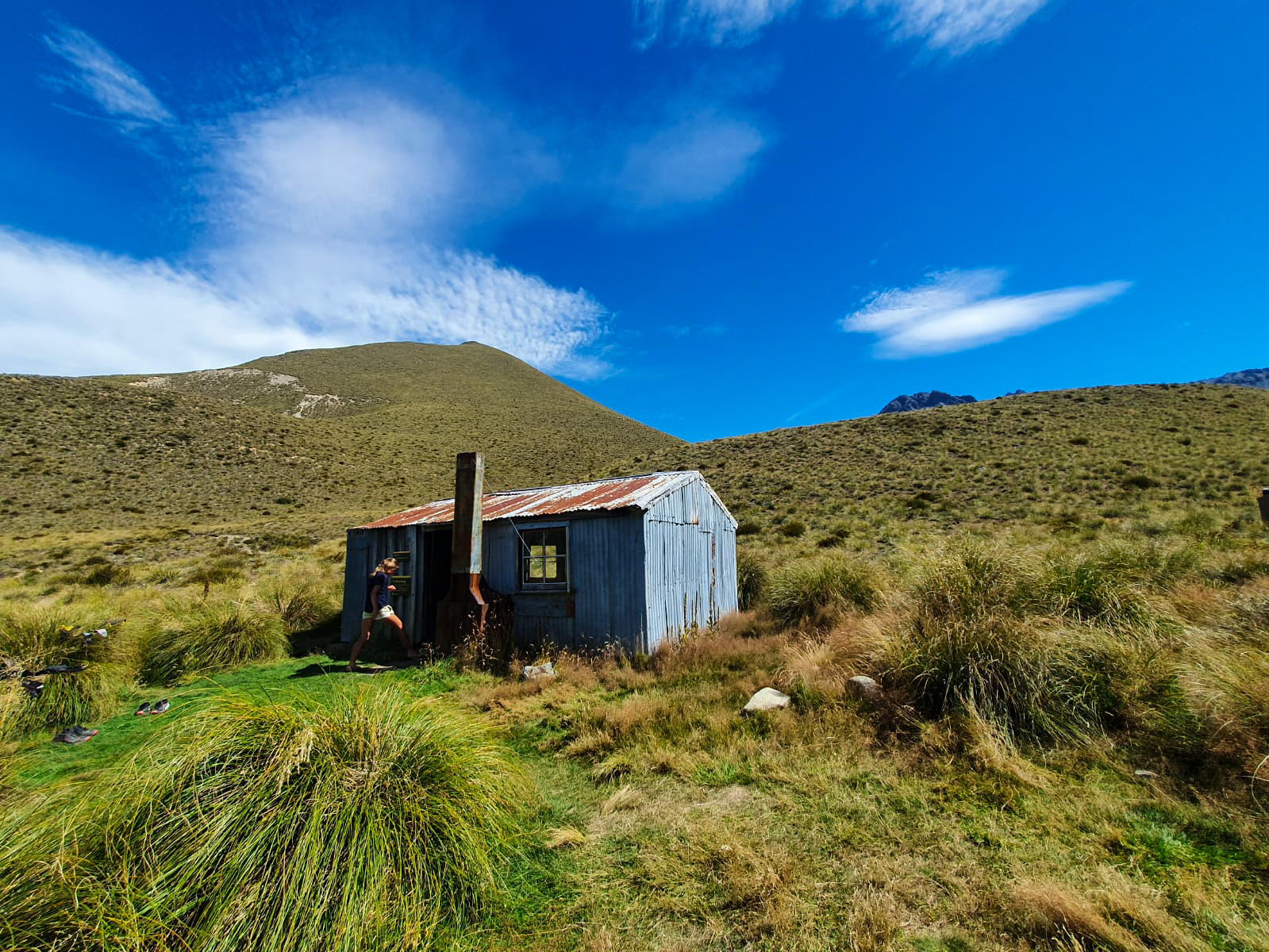
From Telford Campsite we sidled Telford Burn, crossed multiple livestock paddocks, swede’s and swampy mixed with run-off and uneven terrain goodness. 😉 That night we stayed at Birchwood Station in the old shearers quarters and were treated with a hot shower.
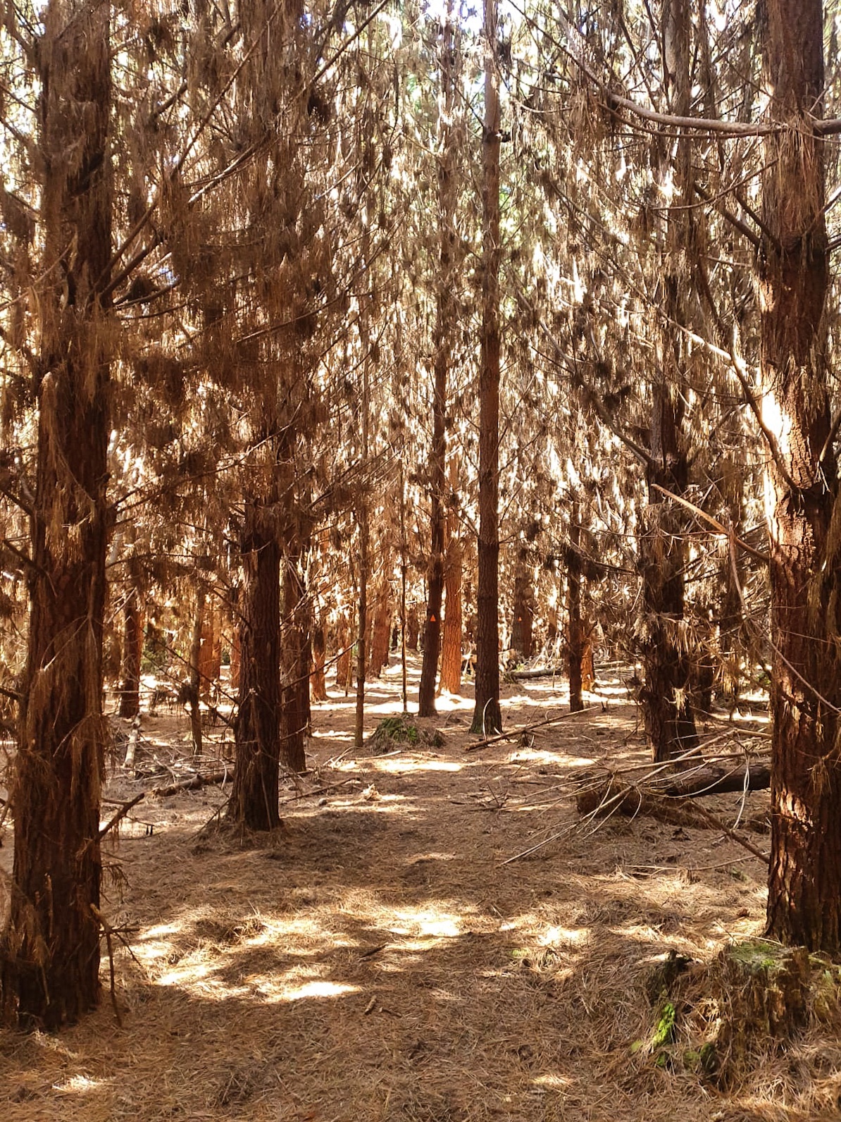
The trail to Merrivale entailed Woodlaw and Island Bush Tracks, both containing pine forest and hills. Whether it was the pine smell, same named roads (why do all pine forests have a road named Skyline) or that I was trotting through it with N.D but they felt airily similar to Waitangi Forest. It was during this day that I started to realise this adventure was shortly coming to an end. Truth be told I spent majority of the early morning upset or crying that something I had spent over 100 days trotting, 4-5 months planning and 6 years hoping for would be over in less that a week. Whilst I am over the moon about the thought of reaching Bluff and having accomplished this physical (and mental) feat, it is bittersweet to say goodbye to the dream of it.
The tears were happily replaced by smiles though when I saw our hut companions for the evening, 2 lovely horses!
The following day bought with it mud, mud and more mud; Longwood Forest to be precise. Most hikers compare this forests levels of mud to that of Raetea Forest in… you guessed it Northland. But I had a relatively dry Ratea experience so I’d say this was more similar to Pirongia. Not Hihikiwi Track level mud though so that’s a relief!!!
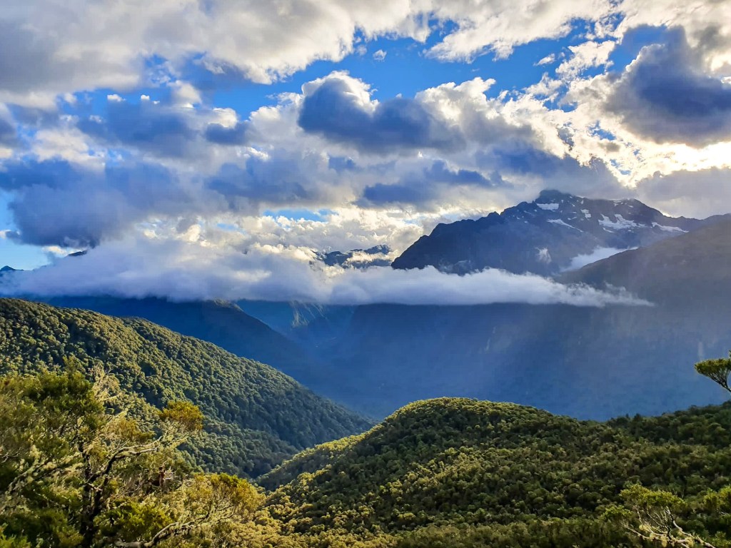
While N.D and I trotted, leaped, swung from tree branches and only occasionally slipped into the mud we actually had a great time in the forest and the views of the Fiordlands, Bluff and Stewart Island were stunning.
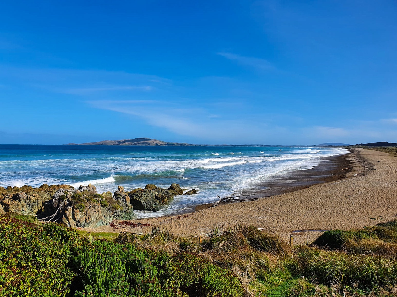
At this point I started to see similarities in all of Southlands trail to Northlands. But what better comparison than the Tīhaka and Oreti Beach trot stretching from Colac Bay/Ōraka to Riverton/Aparima Invercargill. Fortunately, unlike it’s Northland counterpart this section wasn’t over 100 kilometres long and didn’t take 4 days. But it did remind me that I still don’t like walking on beaches and only people who have never walked on a beach would say they like ‘long walks on a beach’.
Now that we have washed the mud, sand and sweat from ourselves in Invercargill there’s only 1 more day to go!
“Life isn’t about finding yourself. Life is about creating yourself.”
George Bernard Shaw
Day 101 to 103
Day 101 – Greenstone Campsite to Greenstone Hut ; 24 km
Day 102 – Greenstone Hut to Carey Campsite ; 28 km
Day 103 – Carey Campsite to Mavora Lakes Road ; 17 km
Total hiked: 2797 km
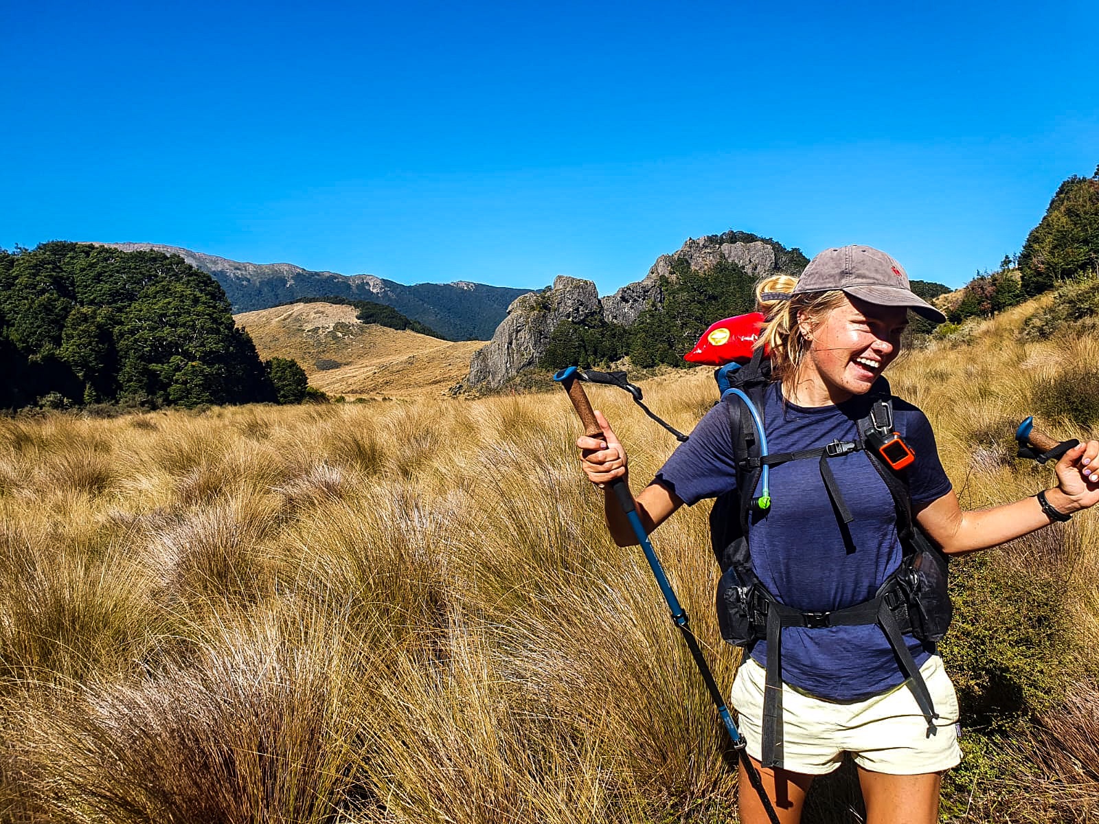
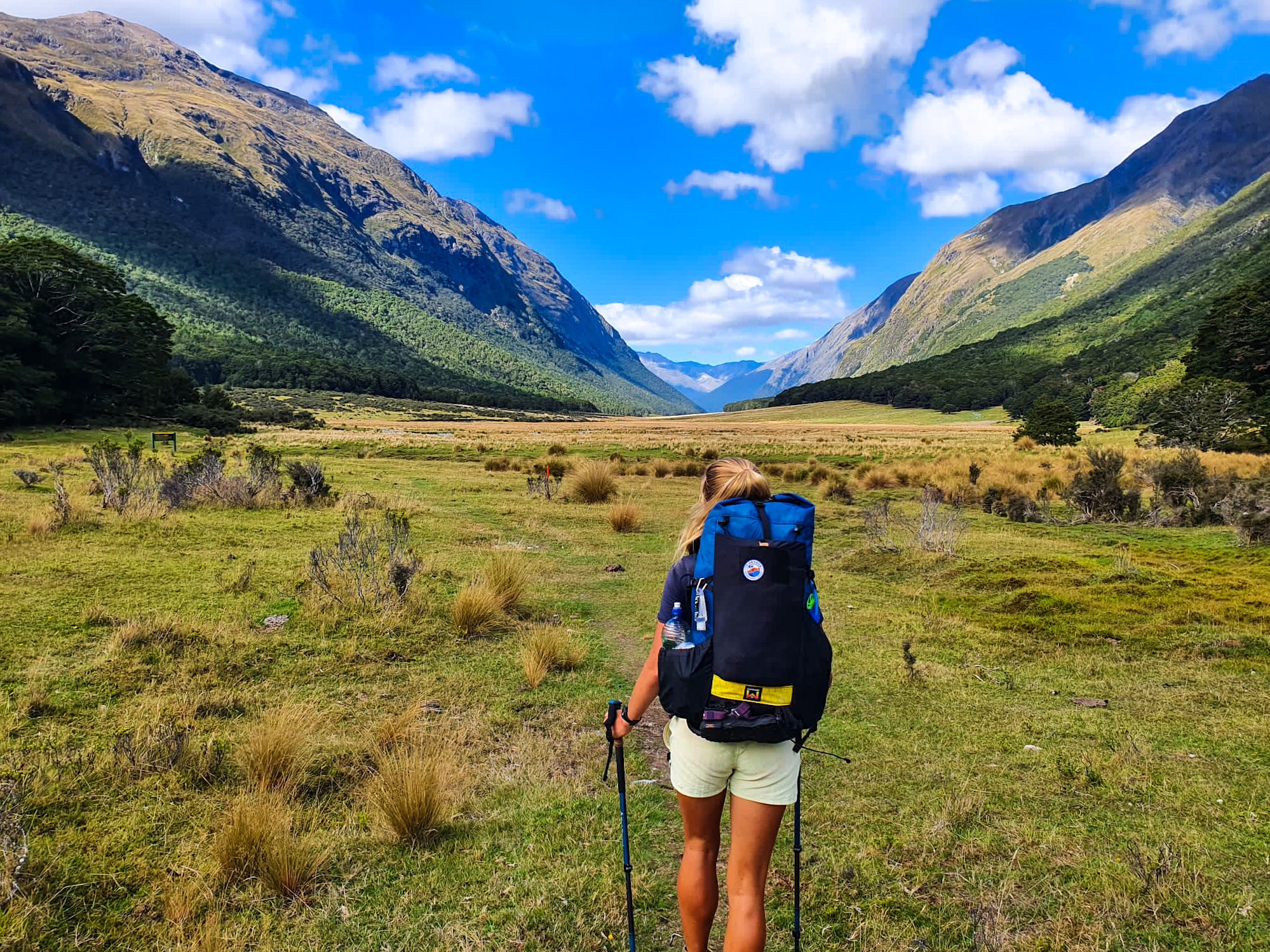
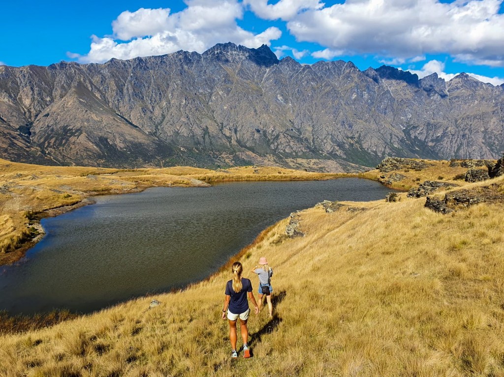
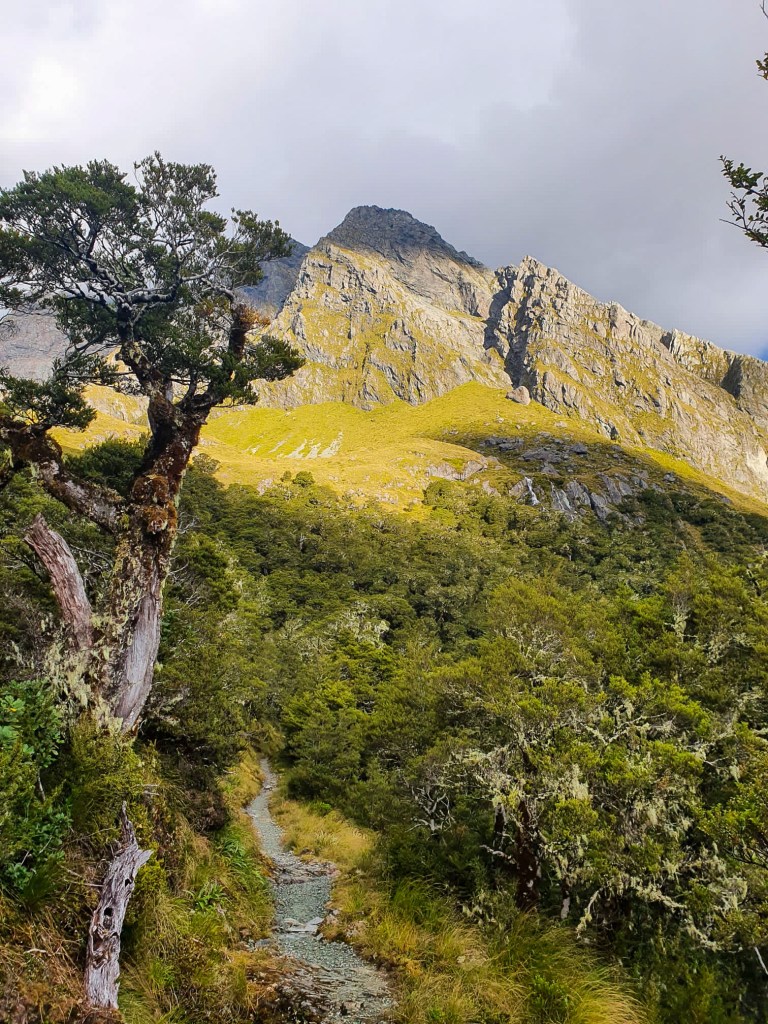
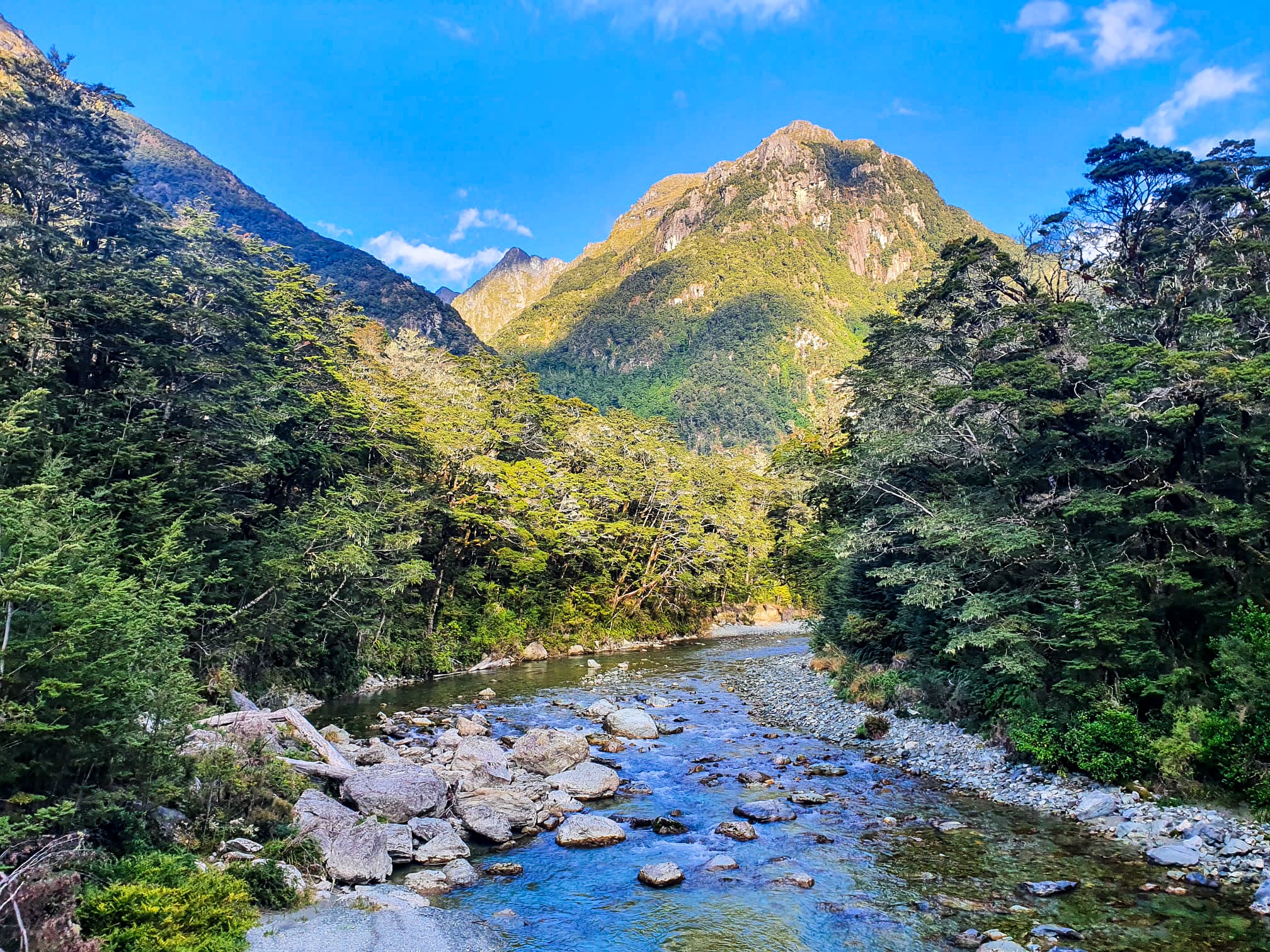
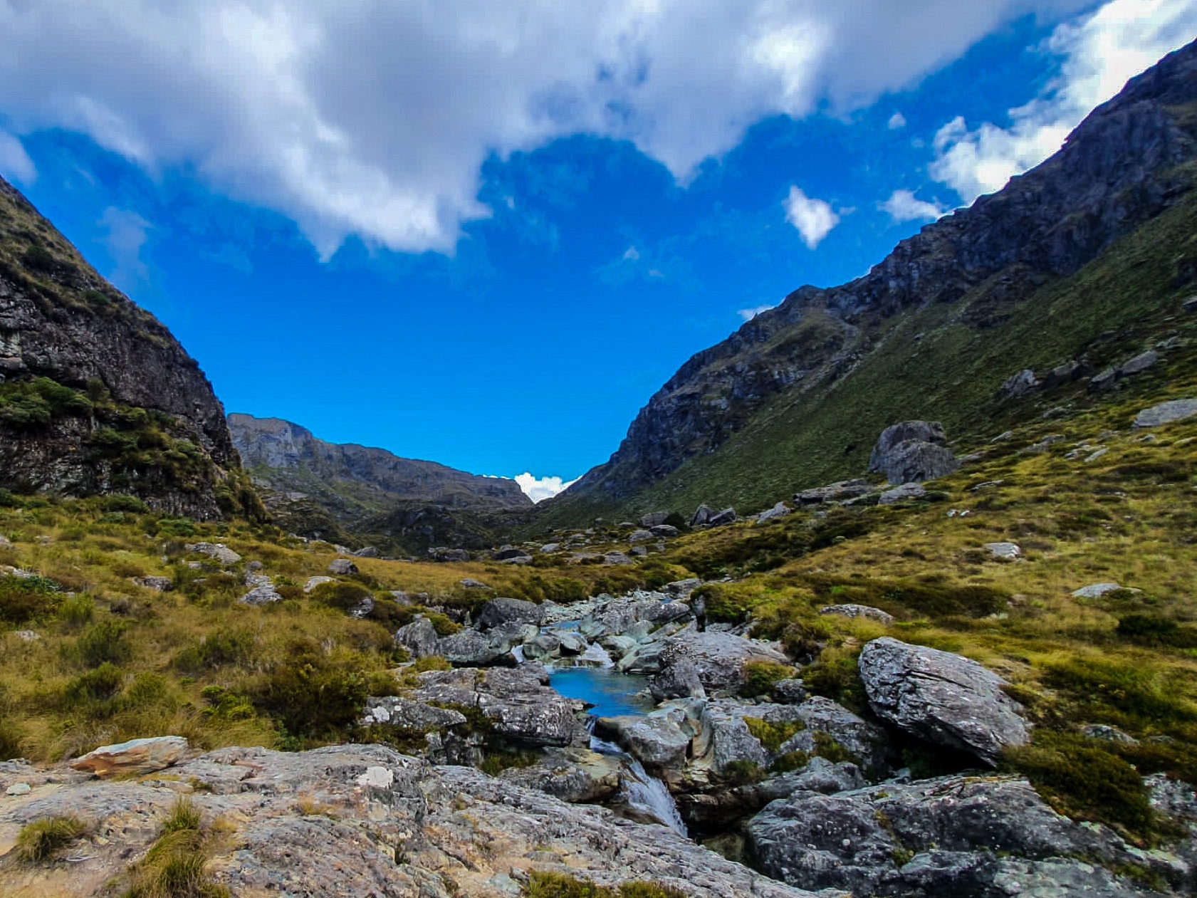
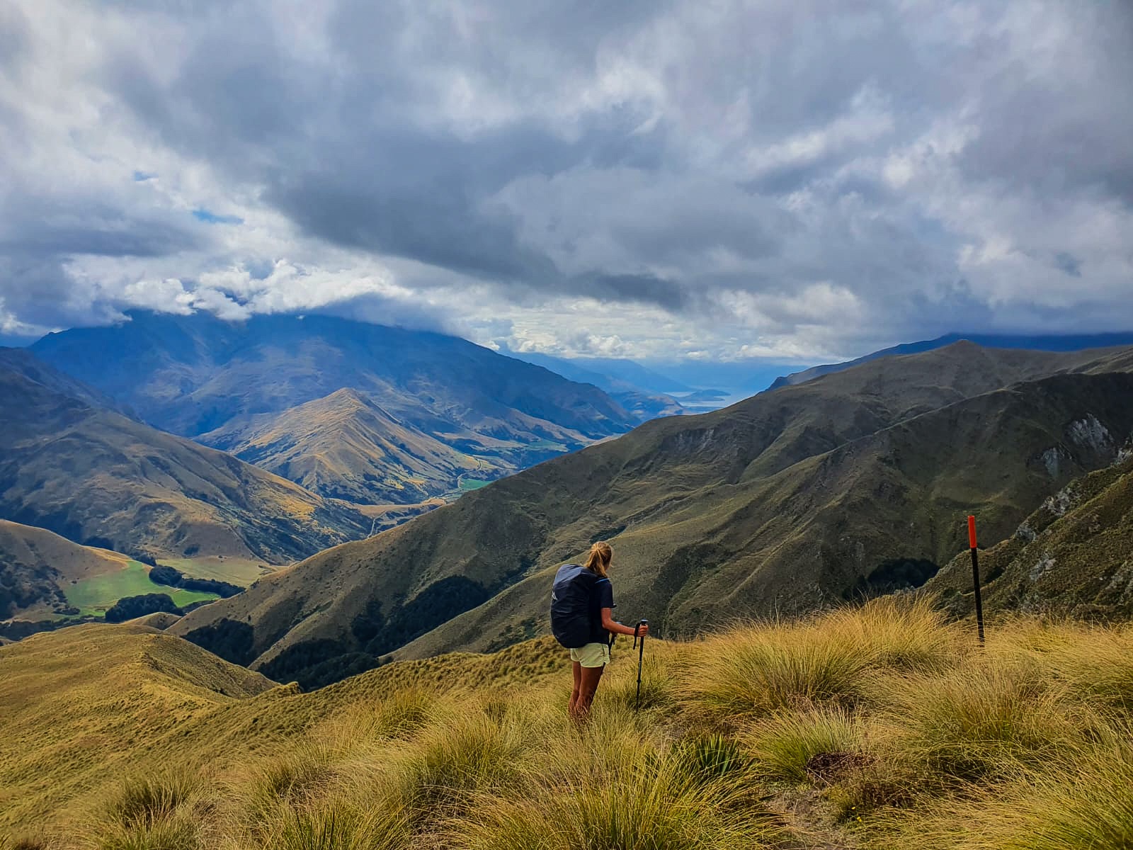
Imagine the hills of the Motatapu but instead of climbing up and down every single one of them you are blissfully sashaying through, admiring their height from the valley below; welcome to Greenstone Mavora Walkway.
Greenstone Mavora Walkway
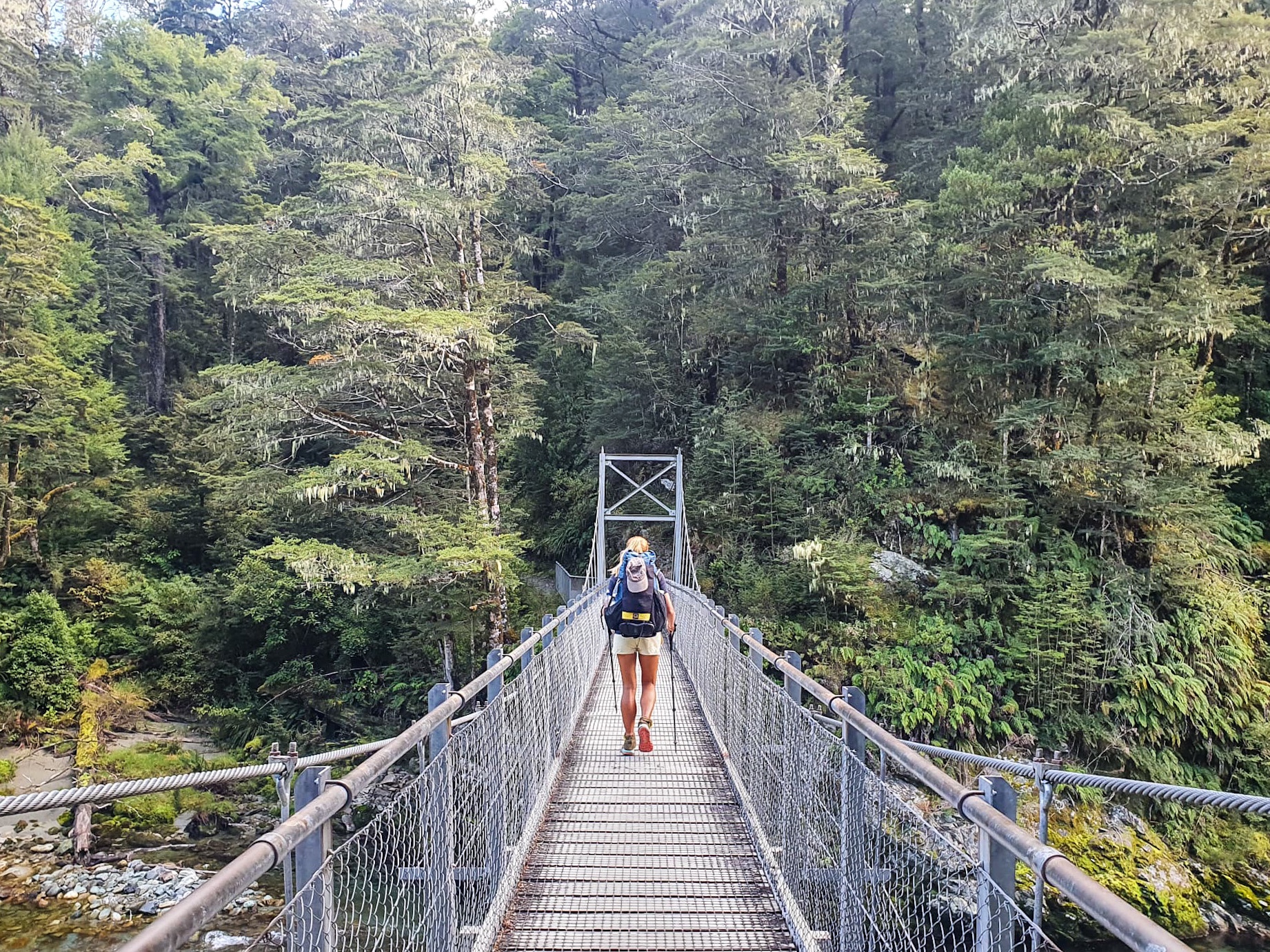
Continuing our adventure back on Te Araroa, N.D and I trotted from Greenstone campsite, around Lake McKellan and it’s similarly named hut to the Greenstone River for lunch. Both unaware that the most exciting part of the trail would happen that afternoon.
I found a hedgehog 🙂
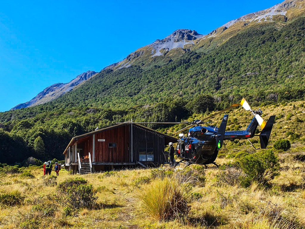
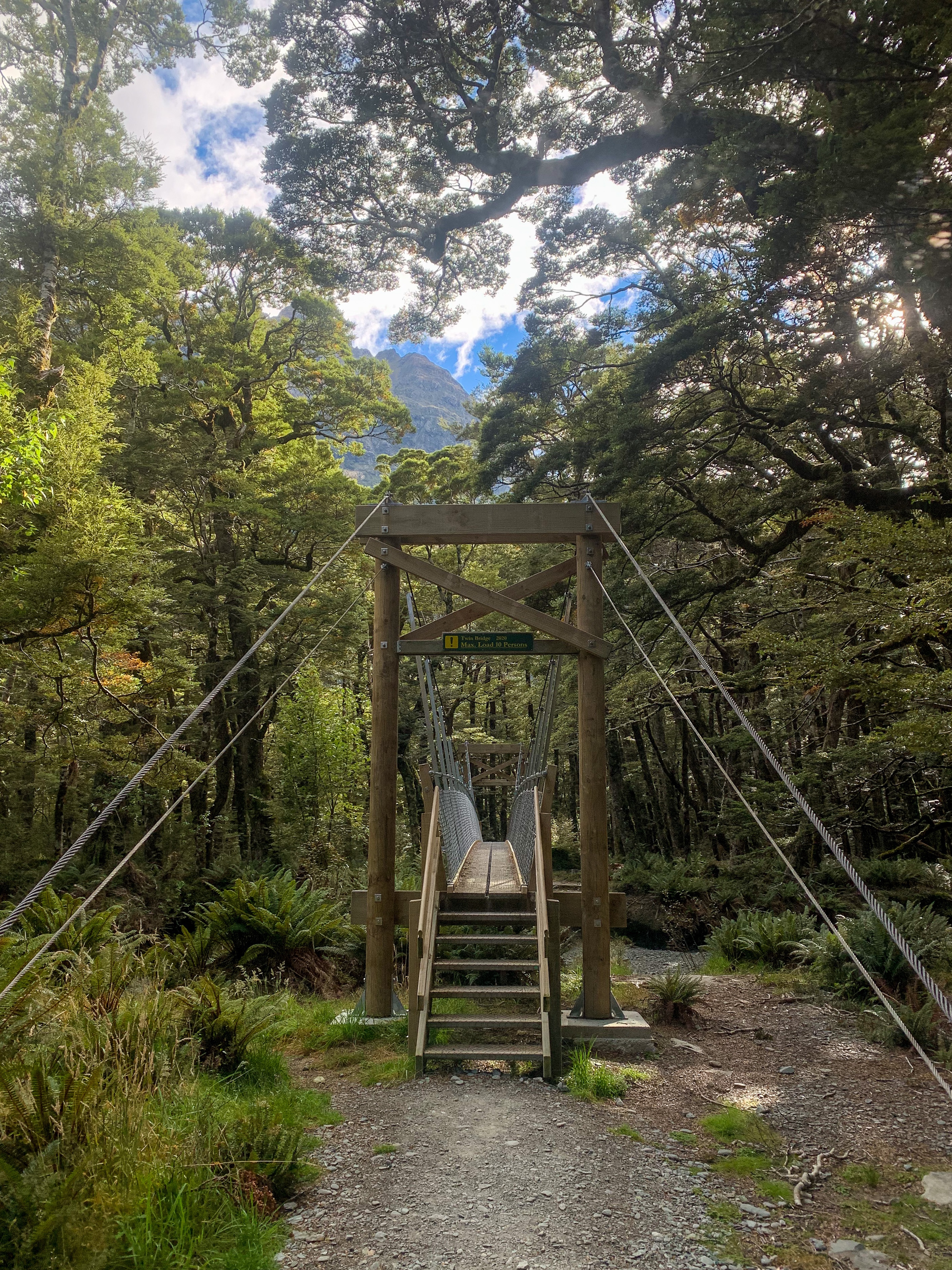
As we crossed a swing bridge we met a couple who were walking the Greenstone Cable Walkway. About two minutes after passing them we heard the lady running behind us yelling ‘help help help’. We turned to see her waving their newly purchased PLB in the air exclaiming that the light was flashing, all while a helicopter could be heard circling above us. Unfortunately they had leant against the outer casing of the device which had inappropriately set it off, while the rescue Te Anau helicopter service made up of a paramedic, retrieval doctor, winch-man and pilot had appropriately set off to find the not distressed couple. Well kind of distressed couple given they did accidentally set their PLB off, who knows what the bill might be? Watching the landing of the helicopter was both the closest I’ve ever come and most excited I have been on trail. It was so cool!
Te Anau Rescue Team
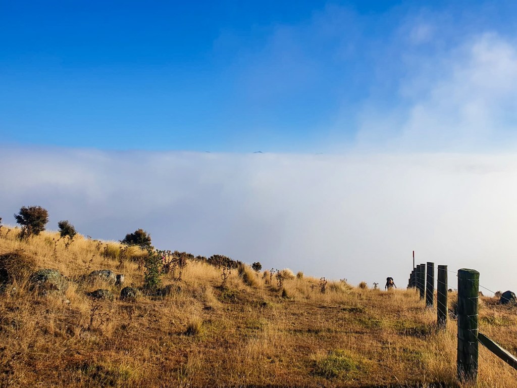
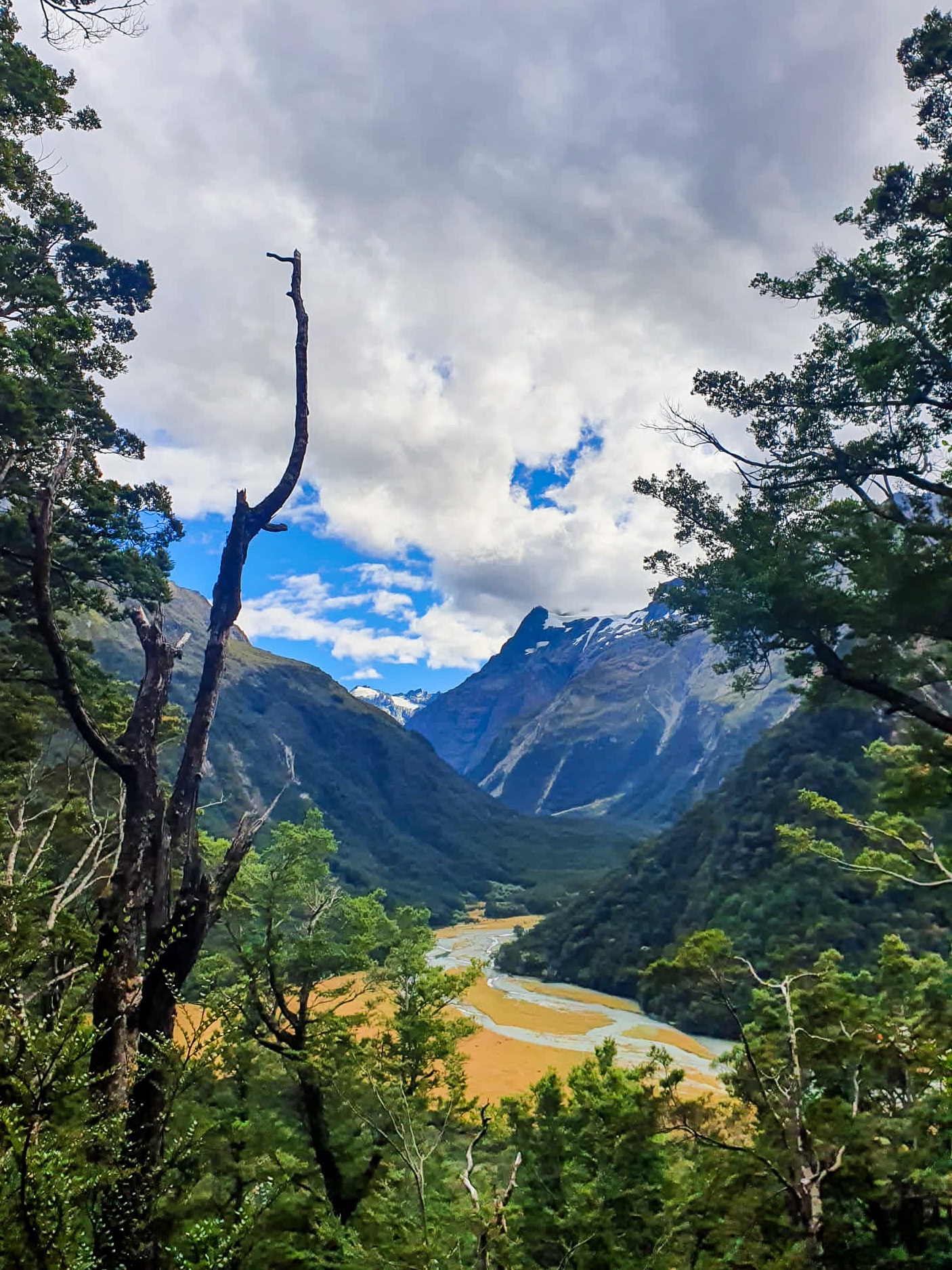
From Greenstone Hut the Passburn Valley with its tussock fields, patches of spongy moss and flowing Mavora river was stunning. Early morning fog that previously covered the lake would disappear to reveal bluebird skies that by afternoon created mountainous shadows on the trail ahead.
The surrounding ranges provided shelter from the wind leaving uninterrupted valley and views for our three day trot along the Greenstone Mavora Walkway. It also provided ample time for us to chat about our favourite parts of the trail, not just the Otago section but the entirety of Te Araroa. Which days were our favourite, what section we enjoyed the most, which climbs were the toughest, what noodle flavour our favourite, you know all the important stuff. 😛 We chatted about what we could do after the trail, the personal endeavours, professional goals and other crazy adventures we might want to try tackle… maybe not another thru hike just yet.
It felt liberating not just to have the option of doing anything but to now have the confidence at voicing an endless list of possibilities and dreams. It’s exciting!
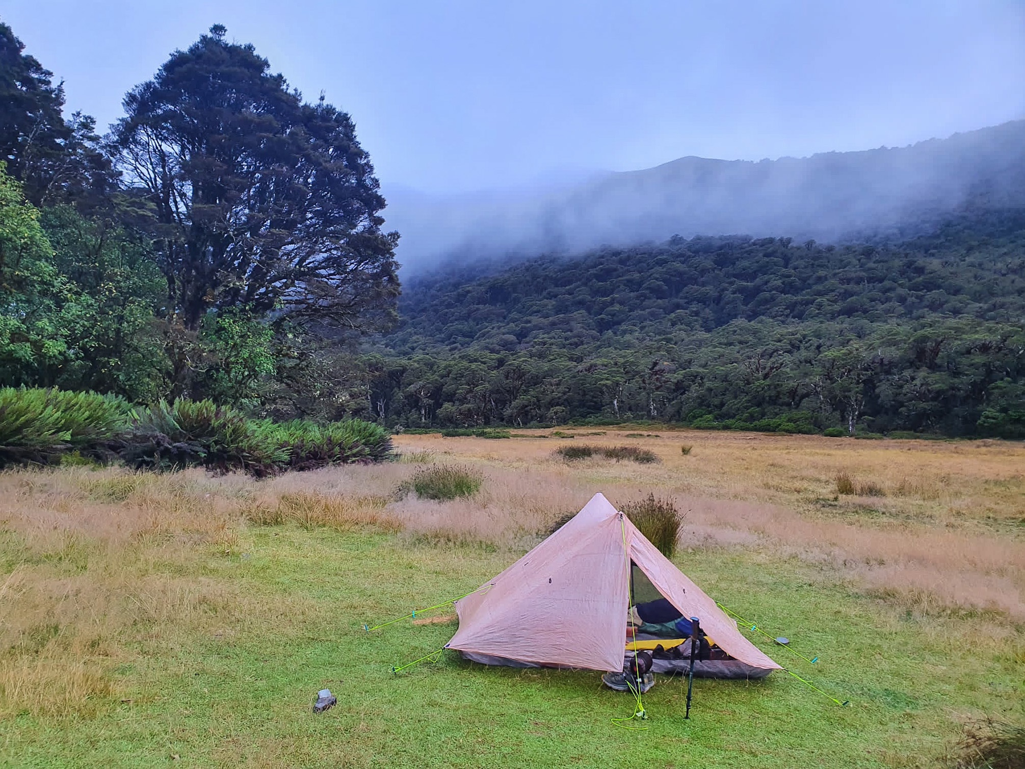
On making it to Mavora Lakes we camped near the top of North Mavora alongside Carey Hut. The following day we trotted around both lakes with friends who kindly bought us back to Te Anau for a shower, resupply and feed; dropping us back on trail the next day refreshed for the last section of Te Araroa.
Day 100 – Queenstown to Greenstone Campsite ; 32 km
Total hiked: 2728 km
Returning back to trail was great!
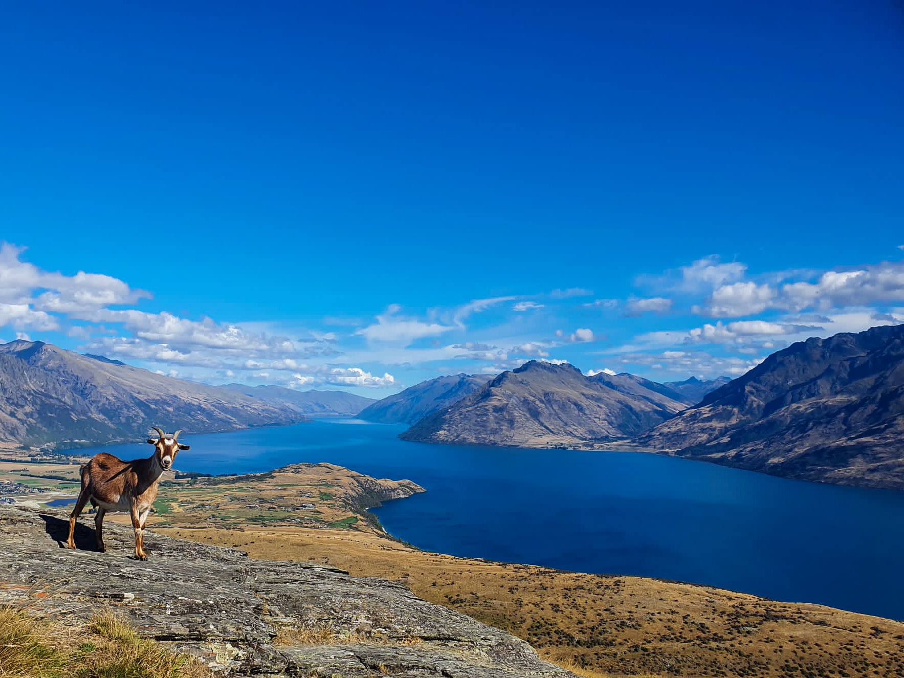
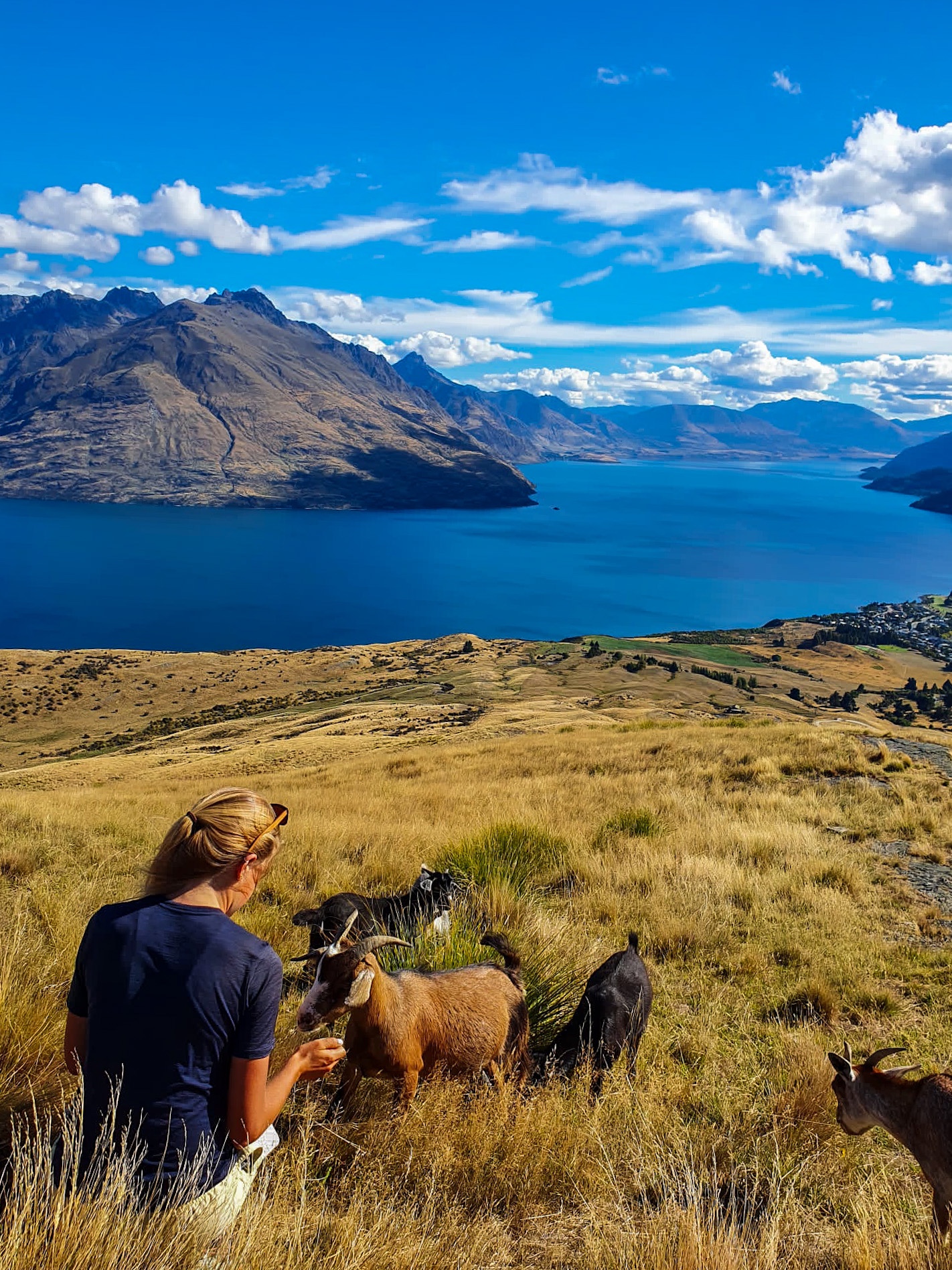
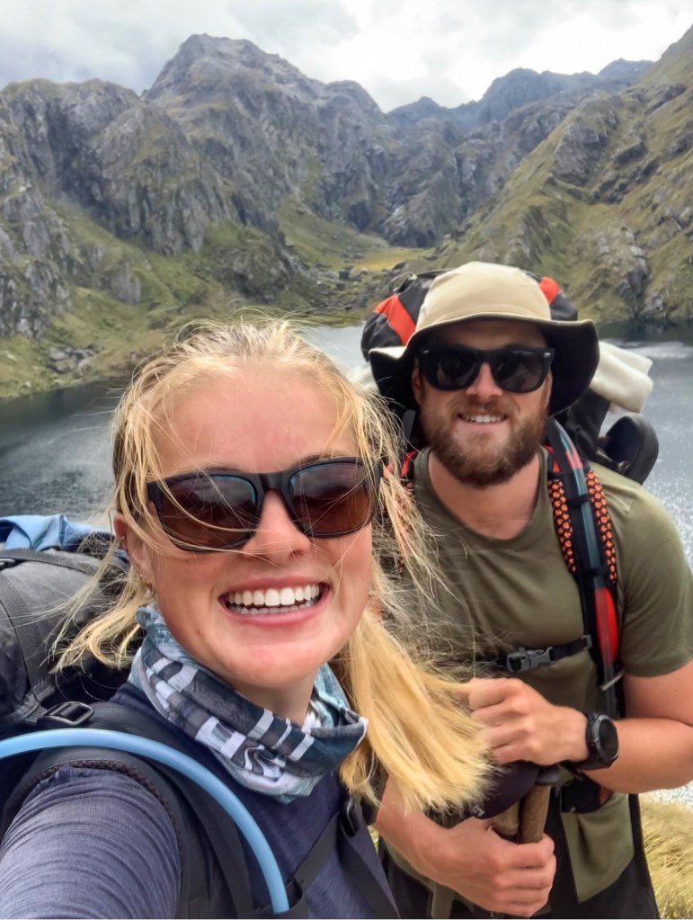
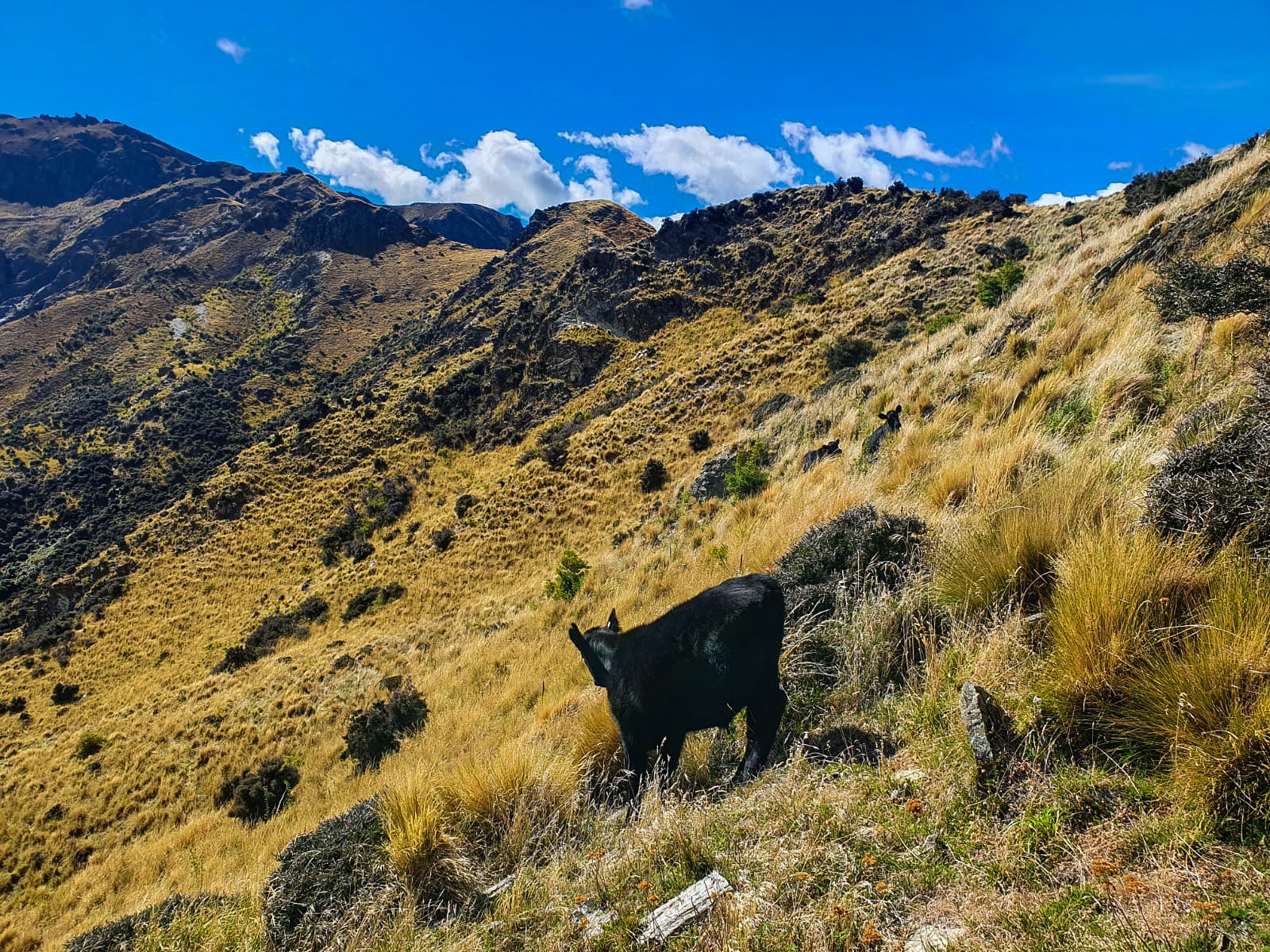
Charlotte, I and a very photogenic goat
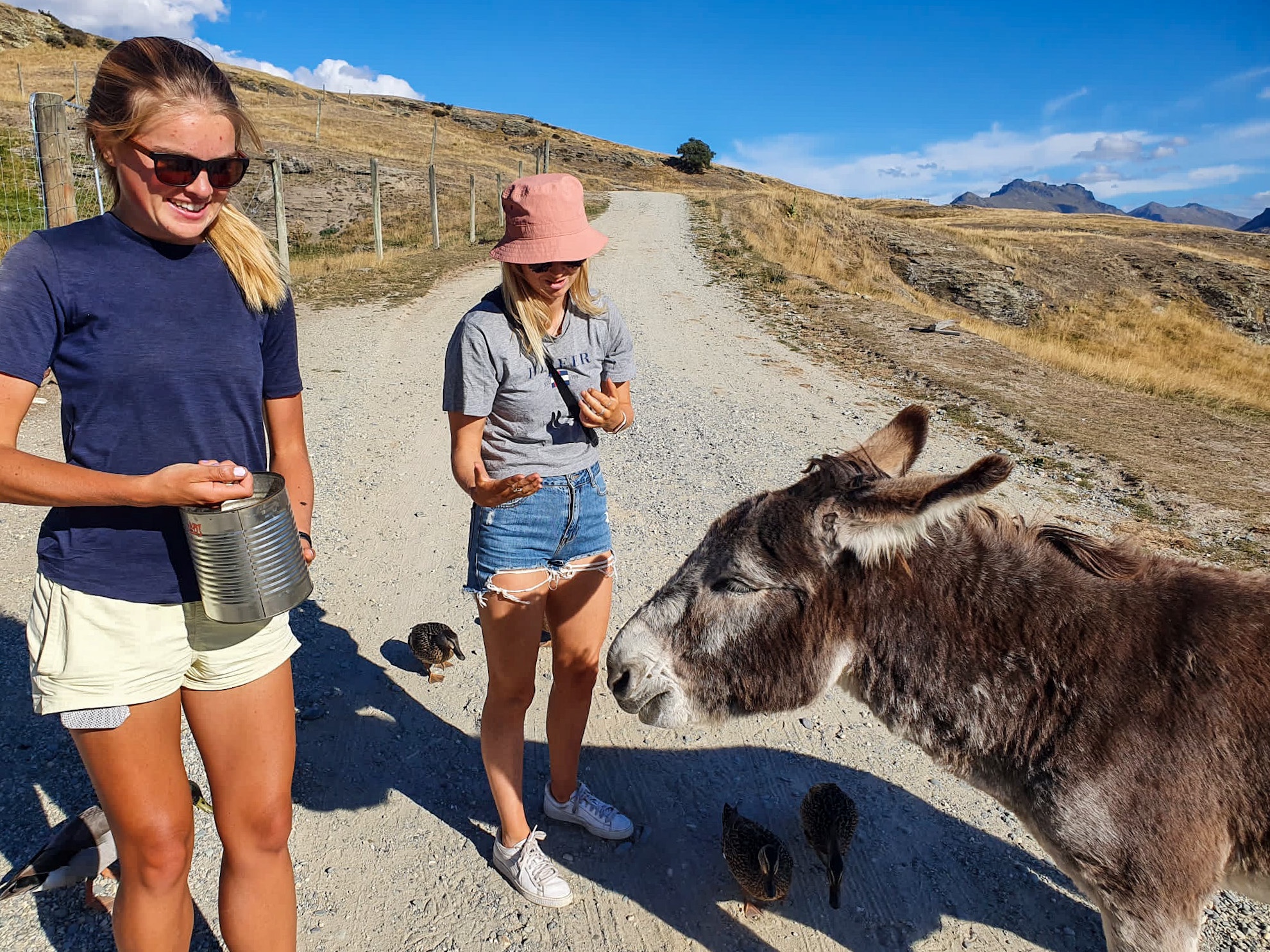
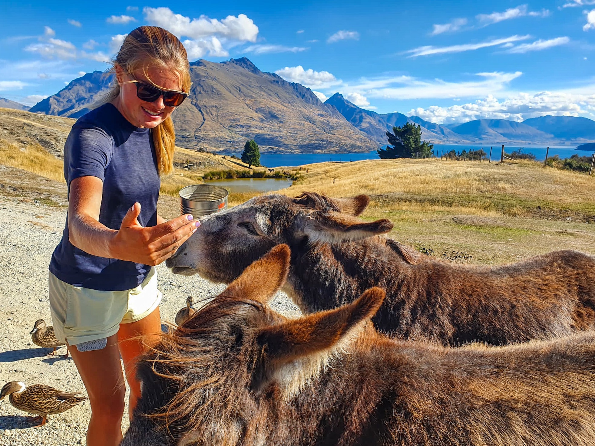
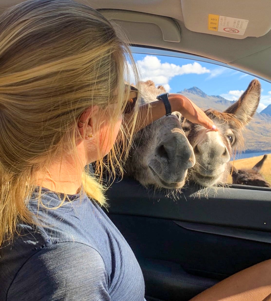
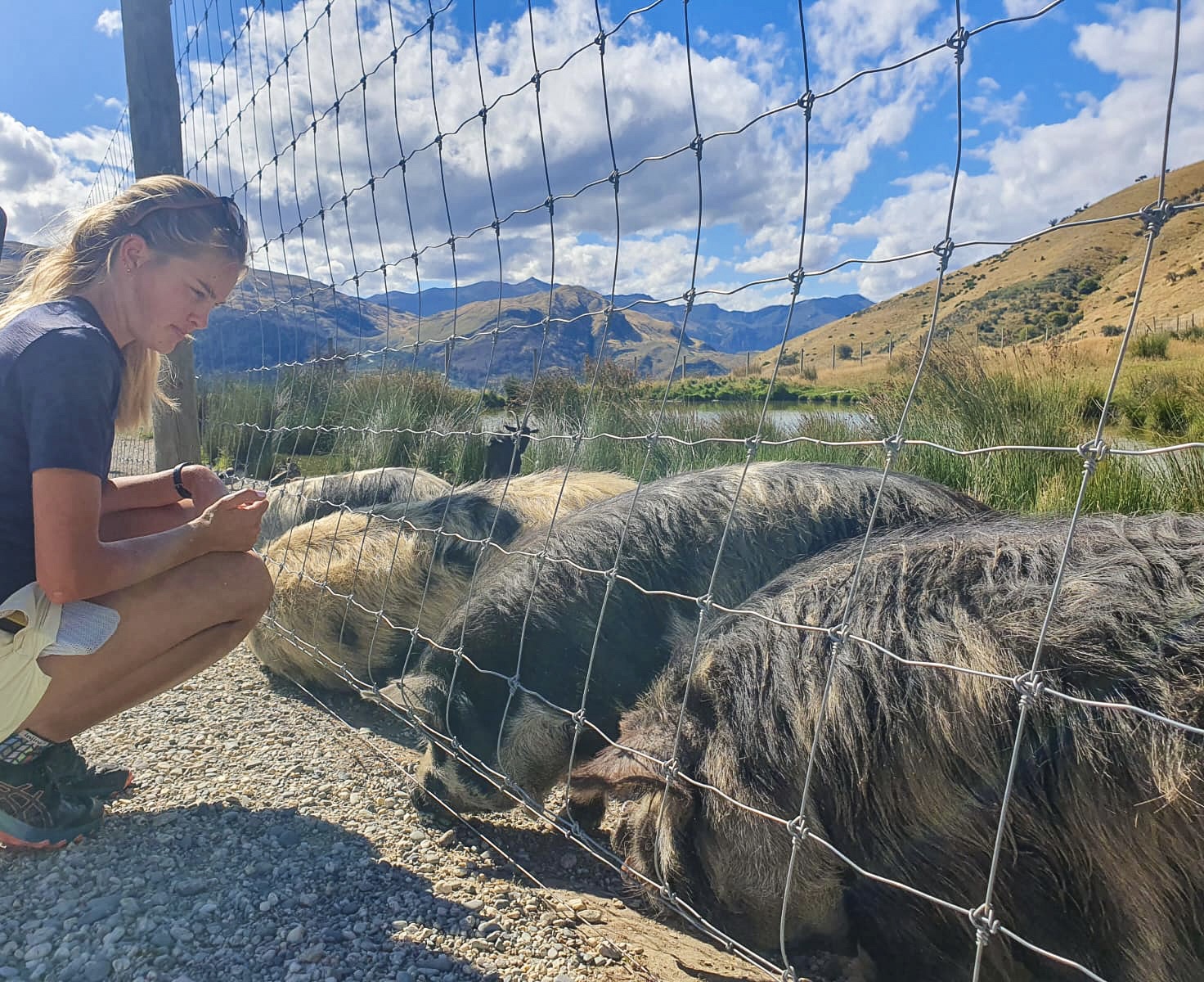
Not only had we got the chance to celebrate a wedding and eat everything we could imagine, but before starting back trotting we caught up with Charlotte and visited Deer Park Heights. I had an absolute blast patting, feeding and being chased by all the animals. Thanks ChareBear 🙂
The donkeys were great until they worked out who was holding the pellet tin!
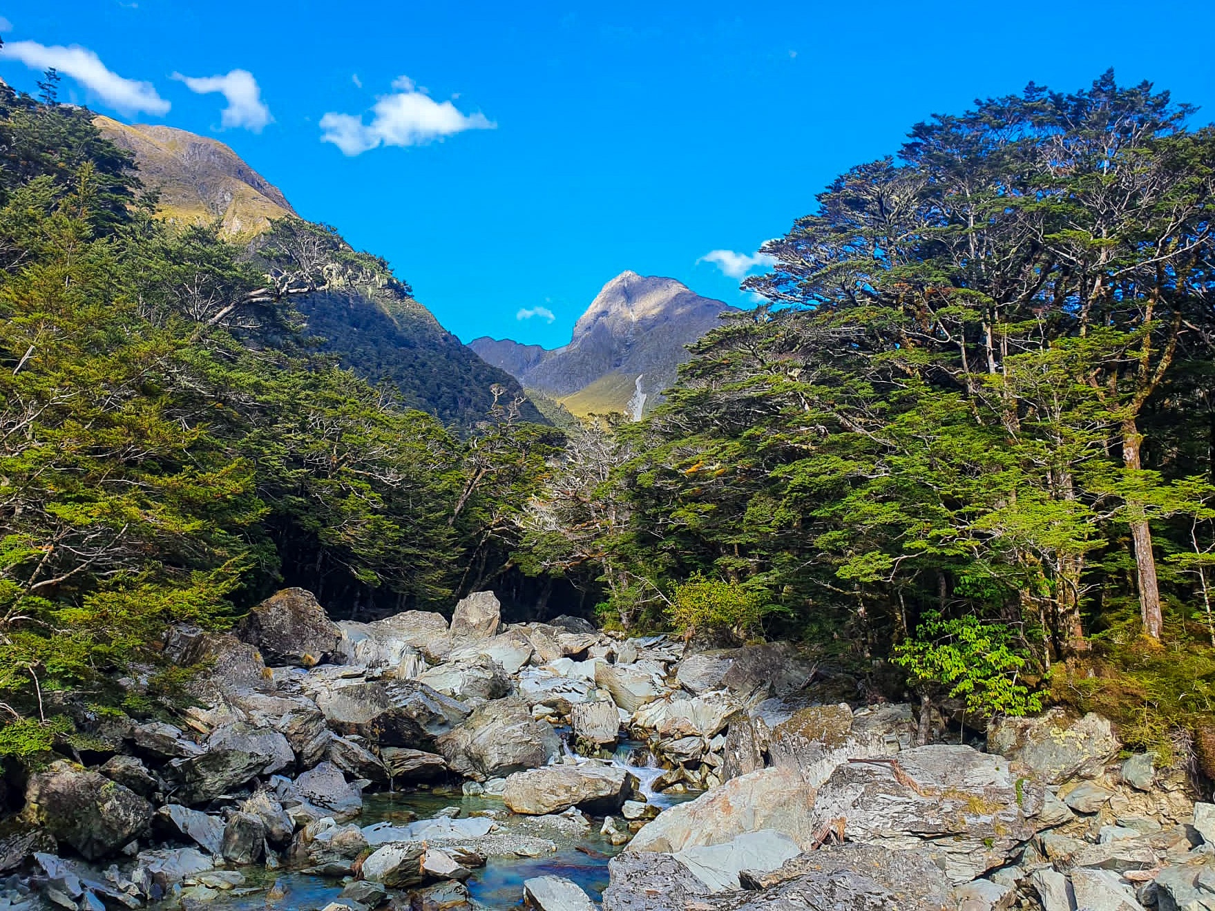
Whilst the actual Te Araroa bypasses Lake Wakatipu and continues along Mavora Walkway, we thought an extra 32 kilometres might be fun. Specifically the 32 kilometres of the Routeburn Track to Lake Howden and WOW were we right!
Starting from the Routeburn Shelter we meandered through beech forest, alongside Route Burn (the river), past Sugarloaf stream and Bridal Veil waterfall to Routeburn Flats Hut. From the flats we had views of the magnificent Humboldt Mountains with sprinklings of snow atop and continued up a very gradual hill (especially after Motatapu) to Routeburn Falls Hut for lunch. 🙂
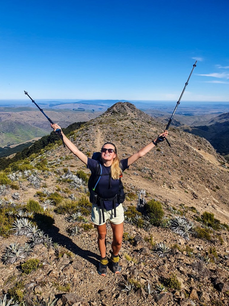
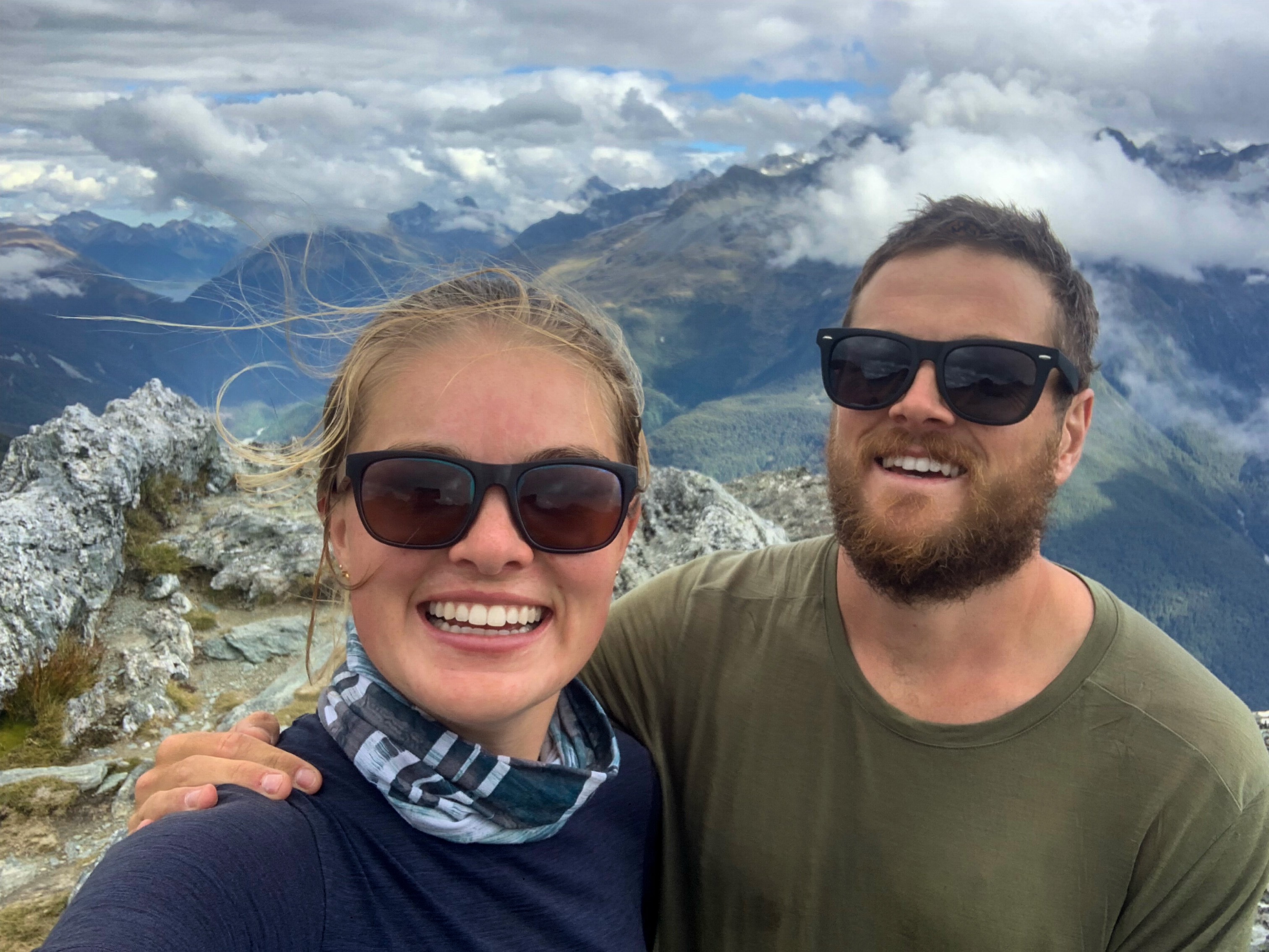
Continuing up the valley, through tussock-wetlands, past Lake Harris we made it to Harris Saddle/Tarahaka Whakatipu (1225 metres). Deciding a quick side quest to the highest point on the Routeburn Track was a must we also boosted up Conical Hill (1515 metres).
Views from Conical Hill
The views were incredible!!! We could see the Hollyford Face, Darran Mountains, the greater Fiordlands and even Milford Sound in the distance.
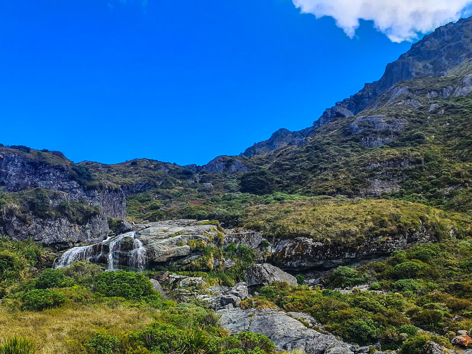
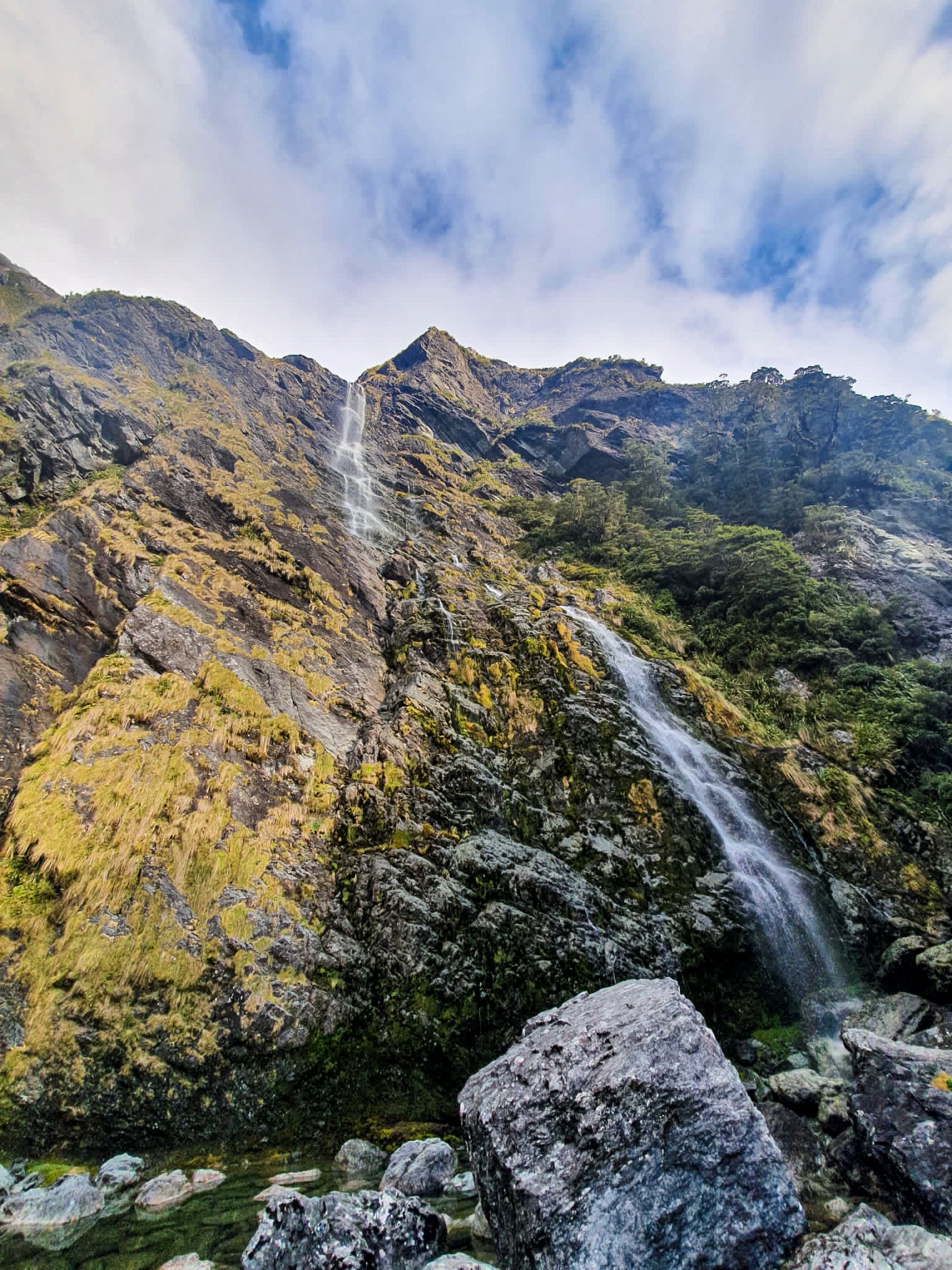
Skirting down the hill we continued towards Lake Mackenzie, past the Ailsa Ranges through the Orchard with its pretty ribbonwood trees and the mighty Earland Falls. At 174 metres tall, she’s a pretty big fall. 😉
With its highway style track, easy terrain, gorgeous huts and even more stunning scenery it was easy to see why the Routeburn is a Great Walk and we were both chuffed to have completed it.
But just as quickly as we trotted the 32 kilometres of the track we were off and stayed on the much less busy and less pricey (also known as free) Greenstone Campsite near Lake Howden.
But today is waiting for us and could just be our greatest friend.”
Atticus
Day 96 to 99
Day 96 – Wanaka to Fern Burn Hut ; 24 km
Day 97 – Fern Burn Hut to Roses Hut ; 16 km
Day 98 – Roses Hut to Arrowtown ; 22 km
Day 99 – Arrowtown to Queenstown ; 29 km
Total hiked: 2696 km
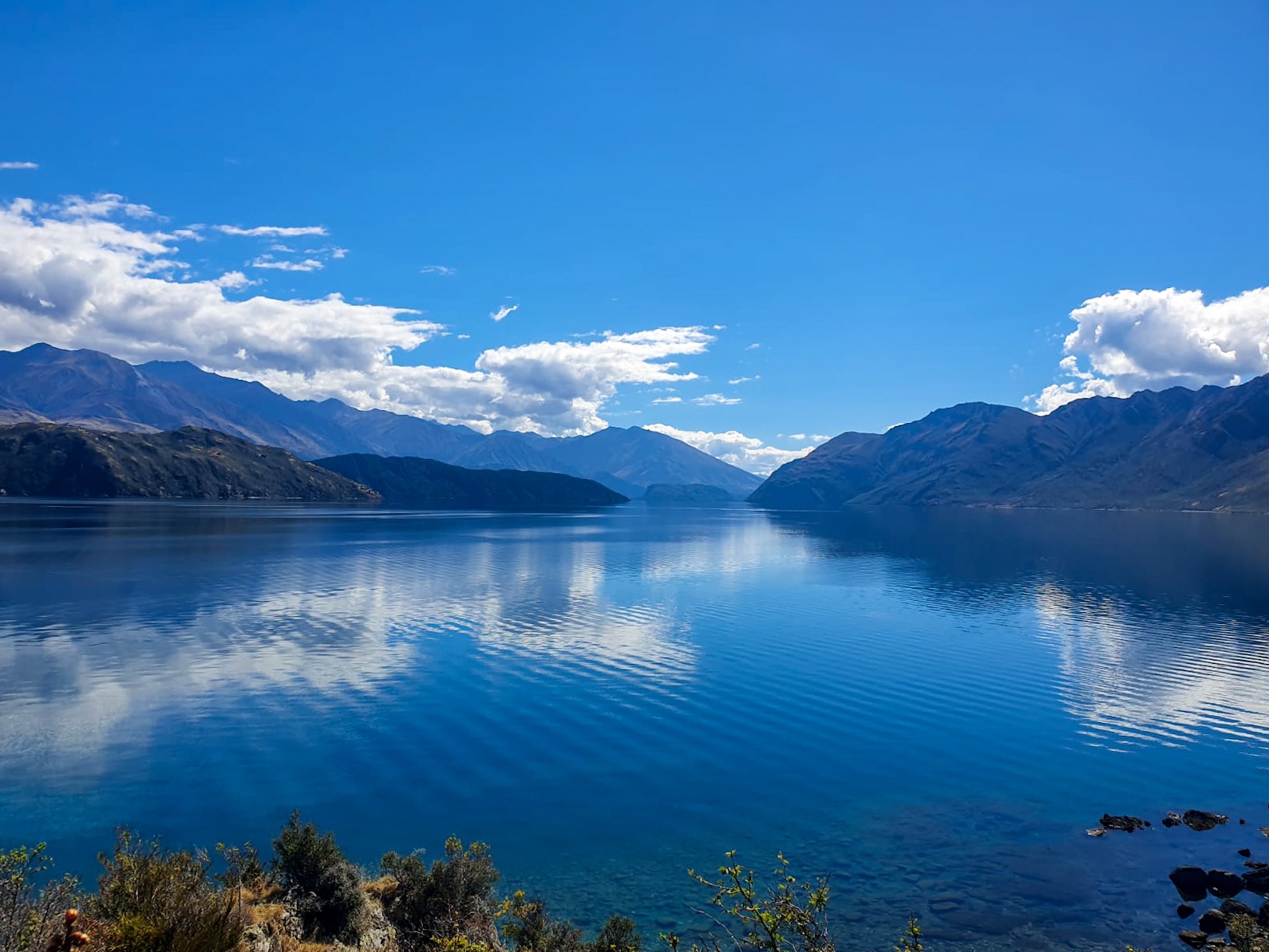
With almost 100 days of trotting under my belt you’d think I would have learnt by now that I don’t like walking in the midday-afternoon heat… yet there we were trotting, sweating and struggling around Lake Wanaka.
Lake Wanaka
After leaving town with bellies full of coffee and scone, N.D and I headed towards the Motatapu Valley Track near Glendhu Bay, though we didn’t actually start on the trail till 17:30. Instead, as the heat got the better of us we relaxed, read and swam in Lake Wanaka mid trot to see out the afternoon heat. After only just re-starting we found a brewery at the bike park and stopped for a further refreshment. It’s mandatory to stop if you see a cold beer right?. 😉
Fern Burn Hut in the distance and my top notch dance moves 😉
Early evening trotting through Motatapu Valley proved to be gorgeous and we made it to Fern Burn Hut just before sunset.
Fog, fog, fog
The next day started in thick fog and with a hill. Many many hills in fact were climbed that day. 😦 Whether I was struggling to get up the hill or my knees were protesting on the descent, the day was long and arduous. To be honest I was kind of over it. Tired, dirty and feeling constantly uncomfortable in one way or another I was looking forward to our pre-arranged break in Queenstown. But trying to not let this get the best of me and wanting to enjoy Te Araroa for everything it throws at you I focused on things to look forward to (lunch, always lunch) and carried on trotting. By days end my mood had lifted, mucho snacks had been consumed and I was happy to be on trail at Roses Hut for the night. 🙂
The struggle was real!
When you trot with someone 24/7 it’s quite common to share emotions, good, bad, ugly, han-gry, you name it. If you’re not thinking them internally then the other person is getting the brunt of them aloud. Whilst I had struggled the day before with not wanting to be trotting on our last day in the Motatapu Valley N.D awoke with similar feelings, now I was trying to be the uplifting one. Sadly sugary treats don’t distract him the same as me. 😛
But when the fog cleared… 🙂
After a morning ascent of Roses Saddle, a high river track diversion through gorse bush and spiky plants, a sandfly invested lunch stop in Macetown and a long dirt road walk to Arrowtown we were both very glad when we could rest, put our feet up and N.D got a cold beer!
The trot from Arrowtown to Queenstown proved a stark contrast to our previous day’s experience. Gone was the hills, long grass and lack of civilisation replaced with well signed or paved trails, pristinely manicured lawns and people! We felt very out of place as we passed through Millbrook Estate, only once loosing the trail and having to clamber over the golf course. 😛 Continuing along the trail to Lake Hayes, over the historic Shotover Bridge and towards Frankton we had made it to Queenstown.
Sights, bridges and furry friends along the trail
That evening we both caught up with friends and I stayed with Charlotte who took me to a very fancy dinner; thanks ChareBear 🙂
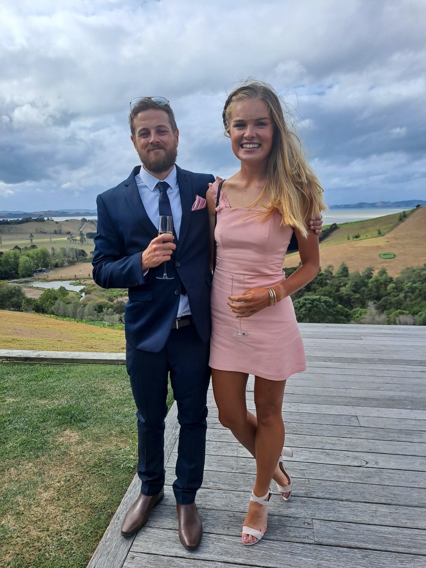
A wee detour off trail for the next few days as we celebrate a wedding then back to trotting to finish the country!
“If there is magic in this world it is contained in water”
Loren Eiseley
Day 91 to 95
Day 91 – Lake Tekapo to Lake Ohau ; 94 km cycled
Day 92 – Lake Ohau to Ahuriri River ; 25 km
Day 93 – Ahuriri River to Timaru River ; 21 km
Day 94 – Timaru River to Pakituhi Hut ; 20 km
Day 95 – Pakituhi Hut to Wanaka ; 37 km
Total hiked : 2605 km
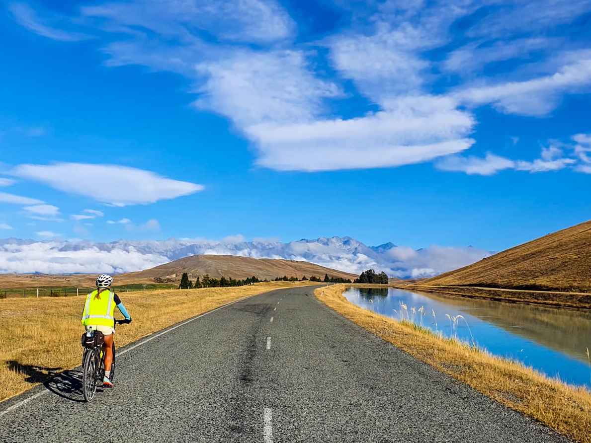
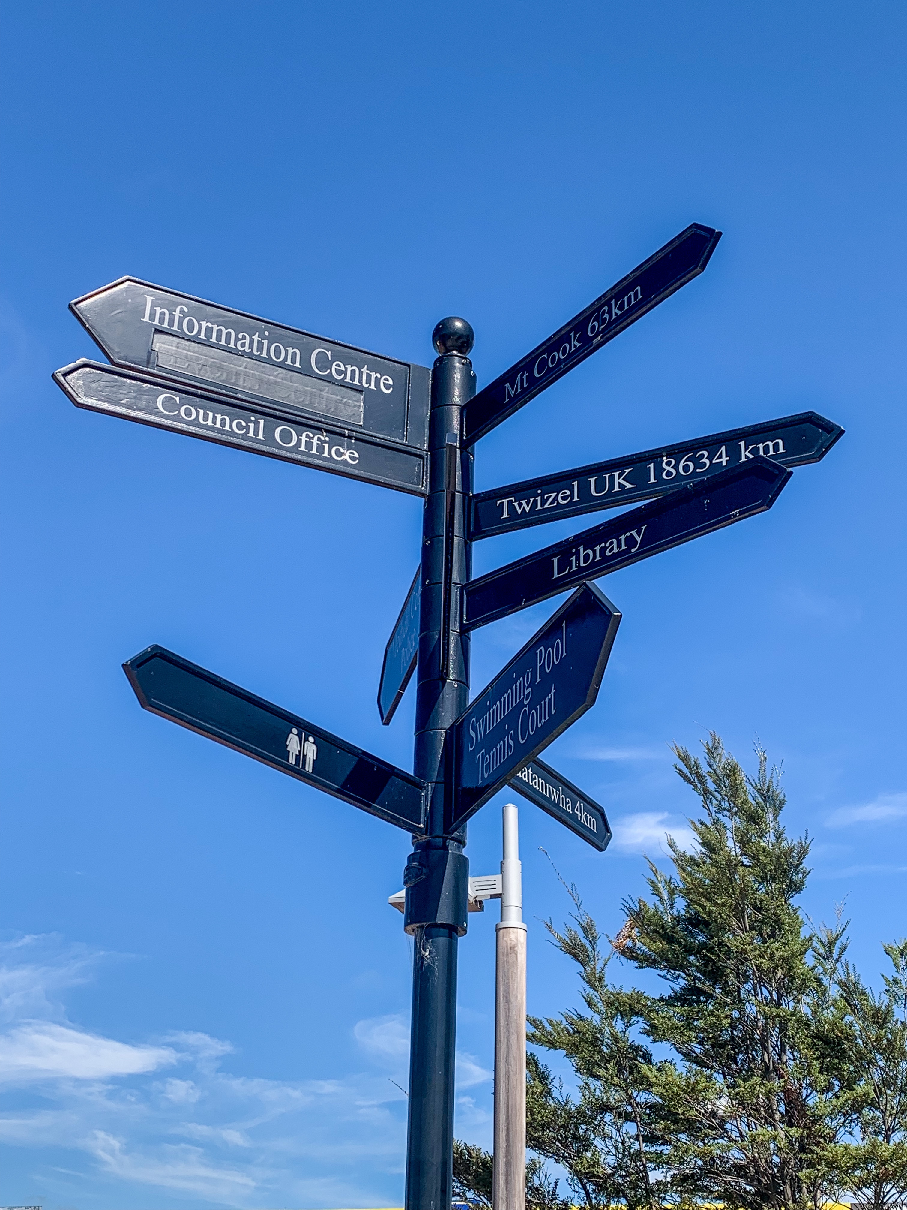
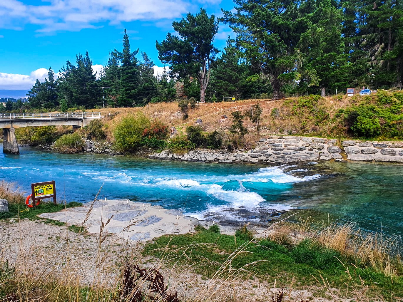
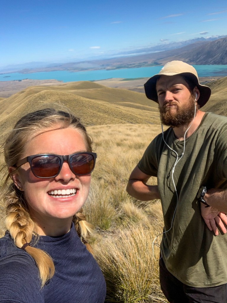
Yup she’s a pretty blue lake. Definitely the bluest lake I’ve ever seen. Kinda convinced they’re putting something in the water to make it this blue. Maybe not. But maybe?
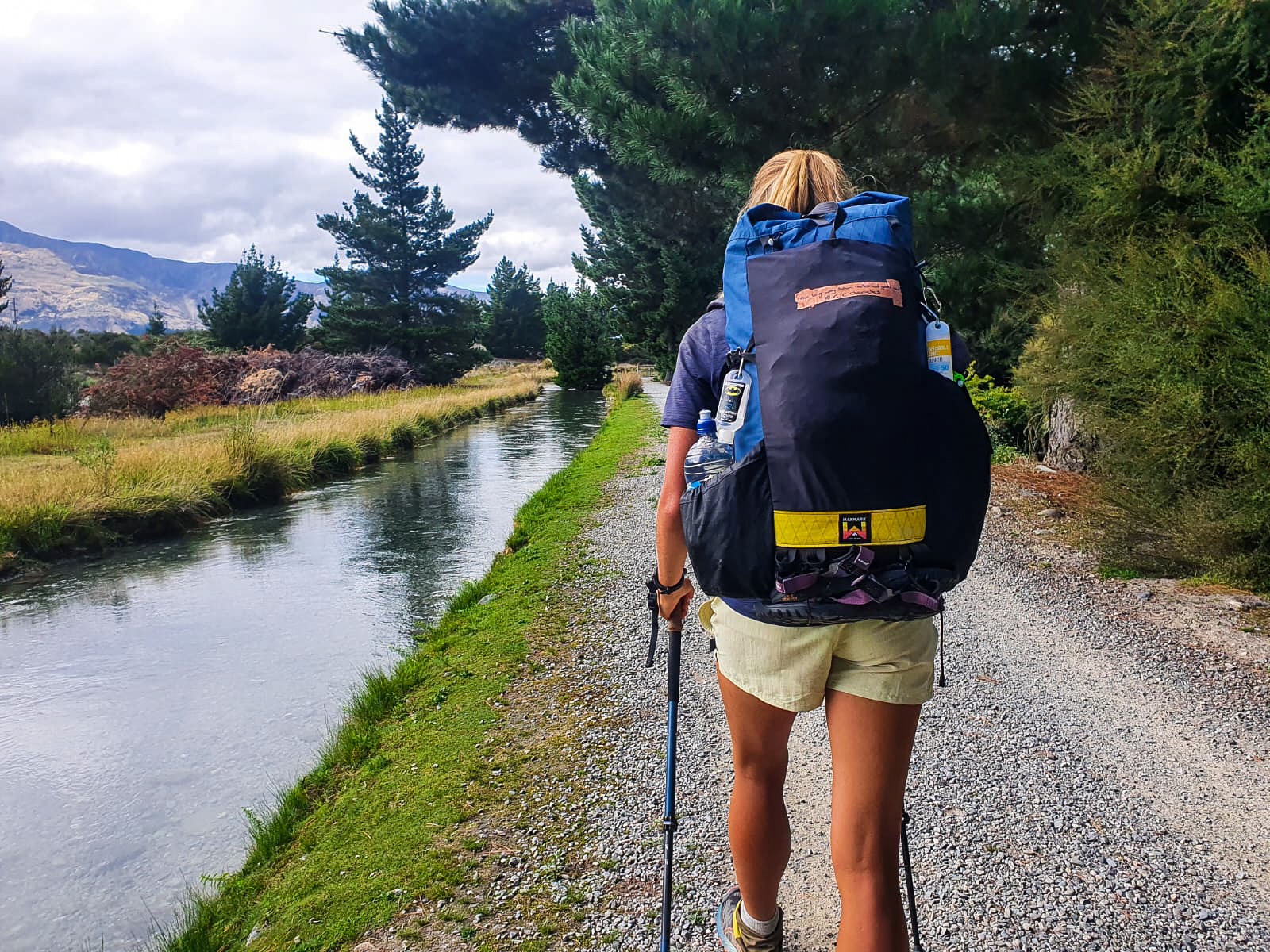
Incase you missed my last post I’m talking about Lake Tekapo and the above comments were made frequently throughout N.D and I’s time spent in Tekapo and the surrounding canals.
That’s some blue water!
From Lake Tekapo trail walkers are given an ultimatum of trotting or cycling; ‘Lake Tekapo Village to Twizel (59km total) canal route is a long stretch without any camping spots – if you do not think you can make this in a day consider hiring a bicycle’. So despite N.D and I loving a good 59 kilometres in a day trotting challenge, a more exciting adventure sounded like cycling 94 kilometres past Twizel to Lake Ohau so that’s what we did!
Setting off from Bespoke Bike Rentals owned by the lovely and very accommodating Annie, N.D and I were sussed with bike carrier packs, bike bottles, helmets, repair kits, even fluro vests… only one of us loved wearing the vest though. 😛
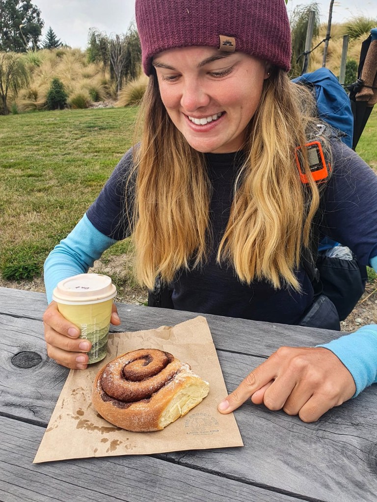
We may have also stopped at a cafe on leaving town to pick up a few sweet treats for the ride (the Greedy Cow in Tekapo has the best cinnamon buns! As an avid cinnabon consumer I know my buns and you won’t be disappointed).
The route from Lake Tekapo to Lake Ohau follows the Alps to Ocean cycle trail. This trail involves cycling alongside canals from Tekapo to Lake Pukaki, through Twizel, to Lake Ruataniwhai and finally Lake Ohau. Not only was this scenically stunning but cycling meant we didn’t have sweaty backs from our packs, we could stretch our arms and legs while still getting the kilometres in and we passed through towns meaning more coffee and snacks. I could really get on board with this cycling thing. 😉 Oh and incase your wondering yes the cinnamon bun was delicious, the views of Mt Cook weren’t half bad either!
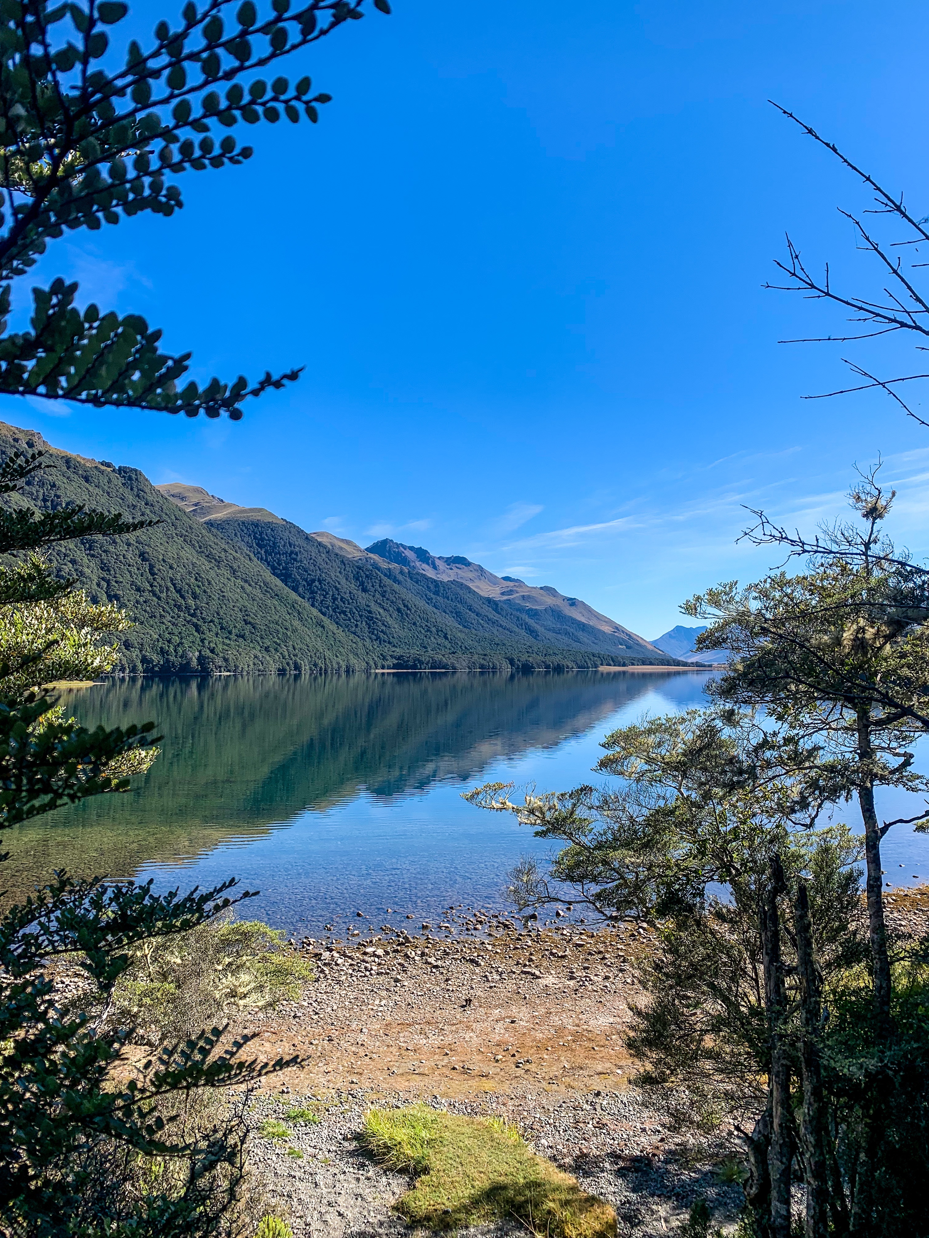
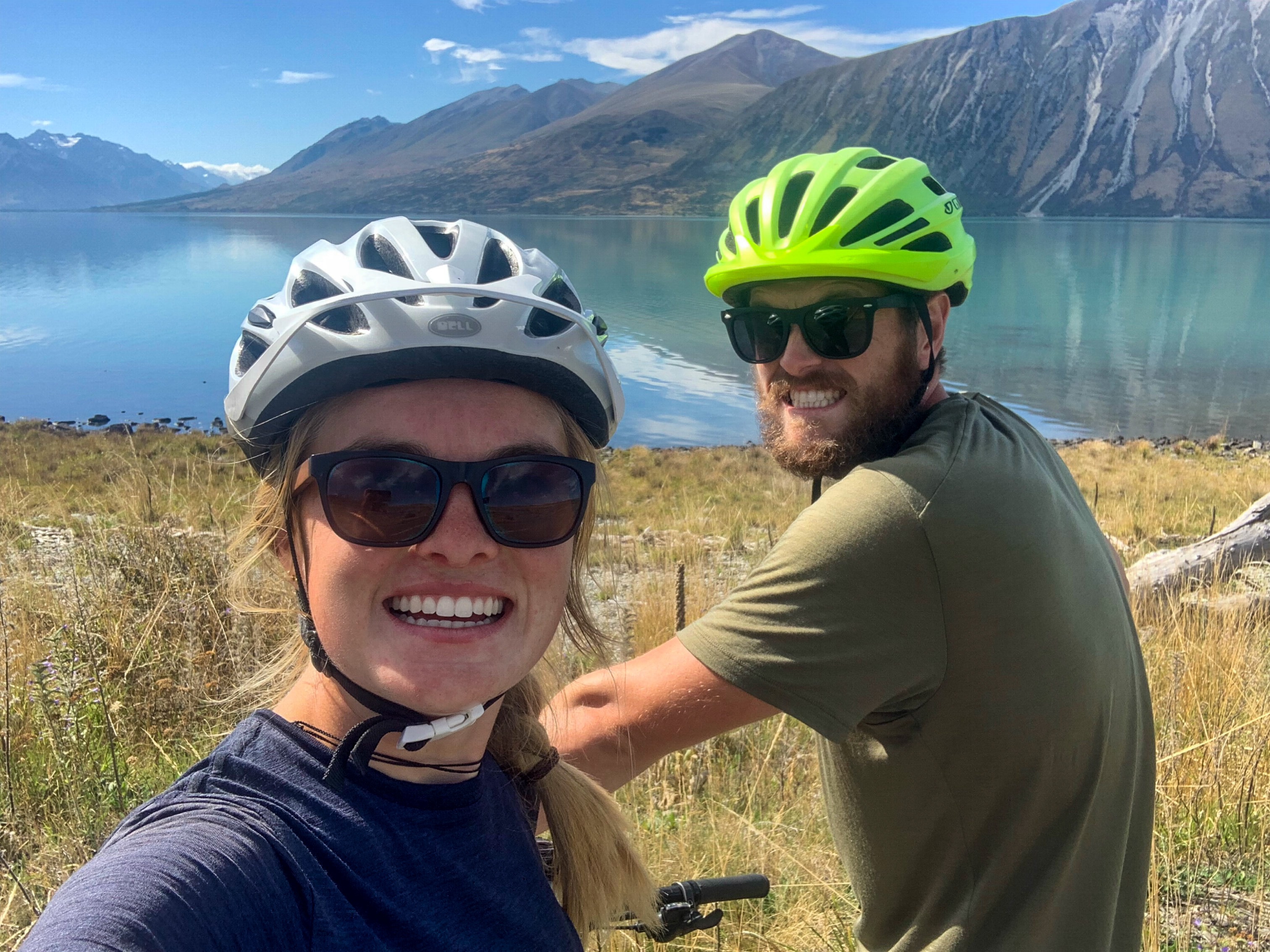
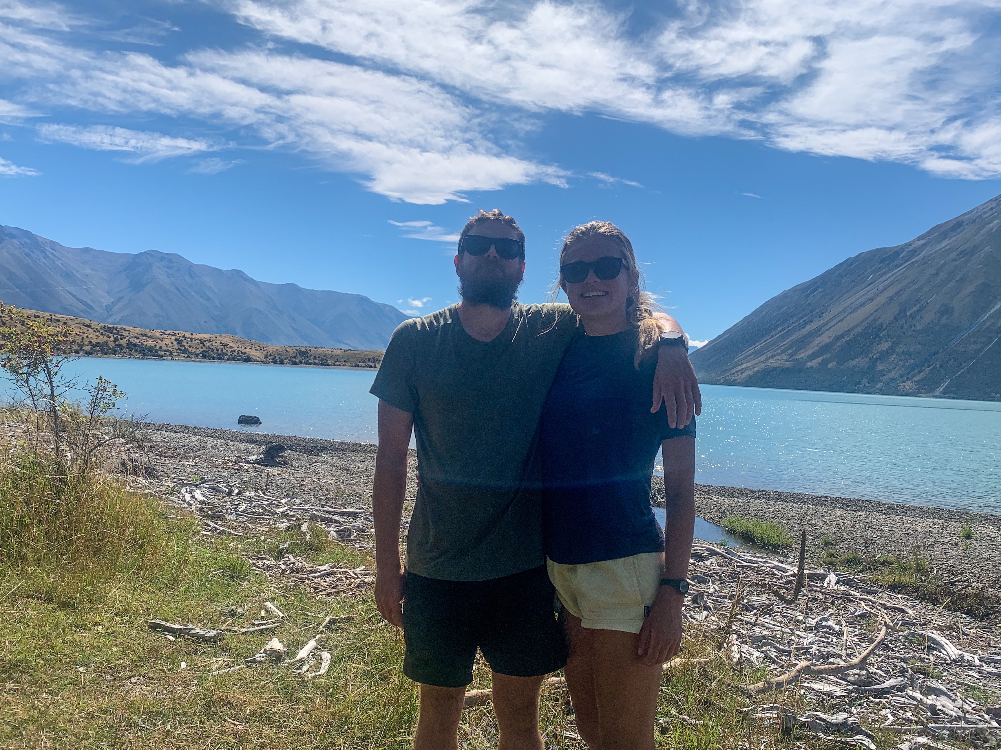
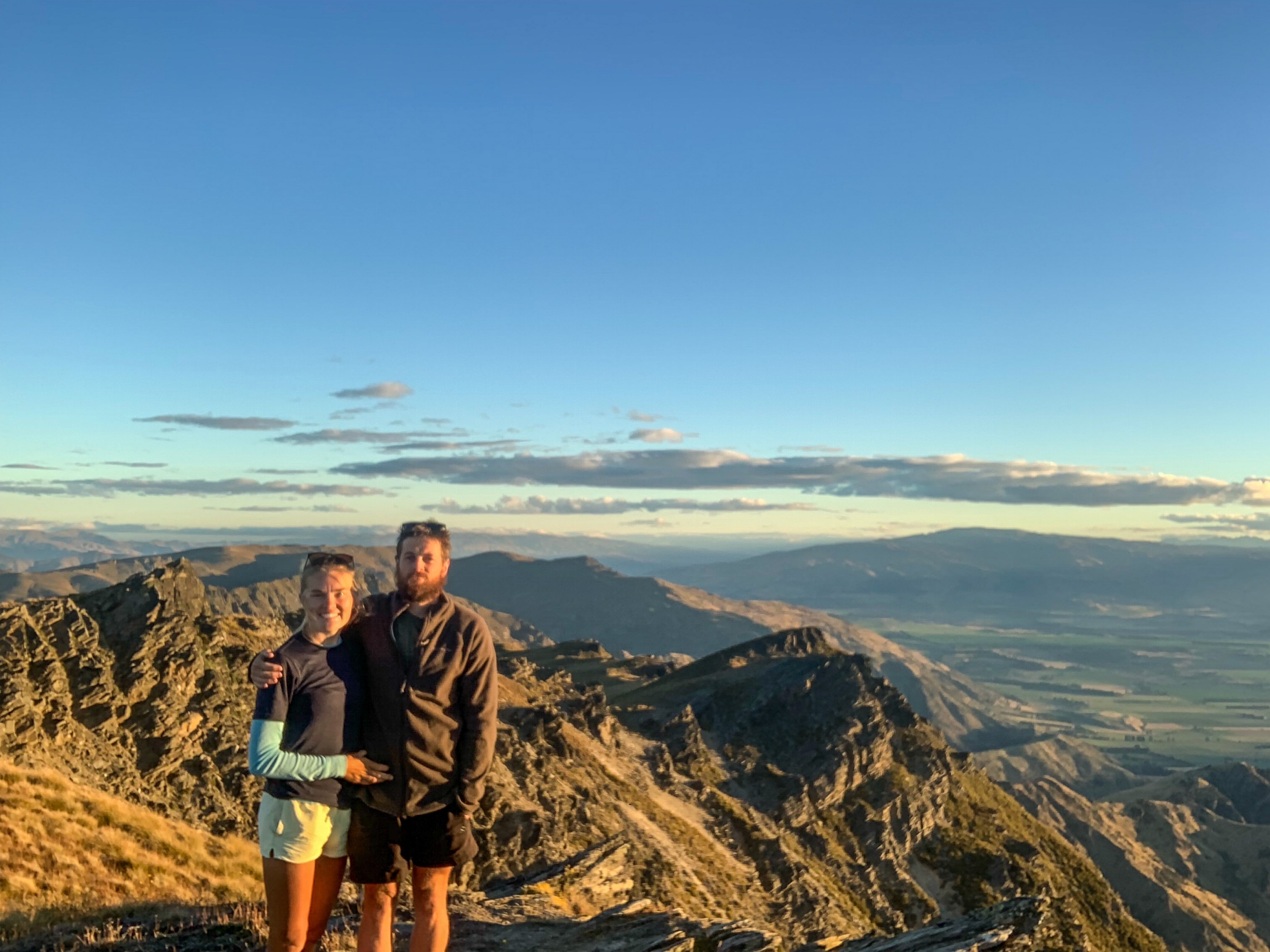
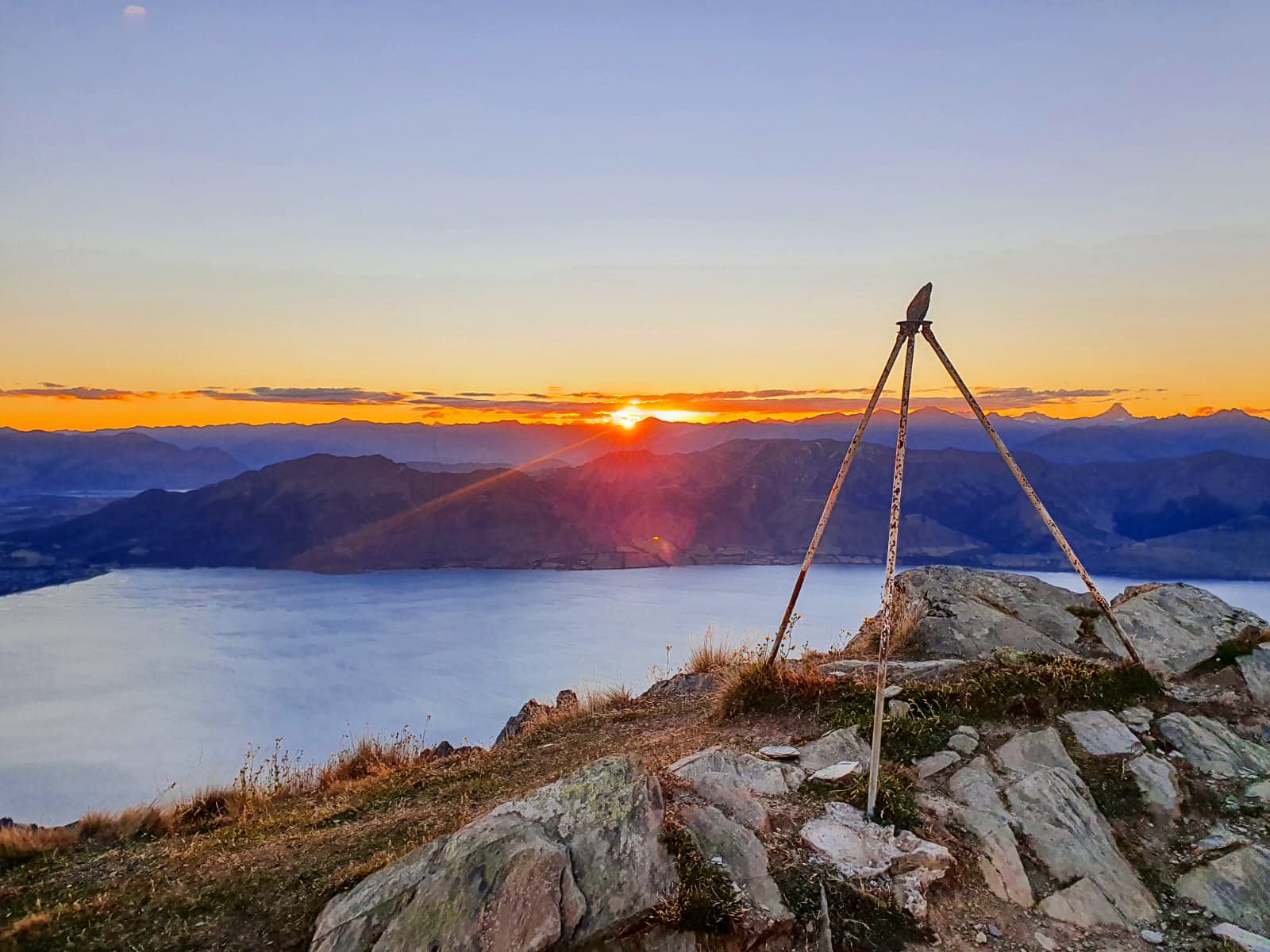
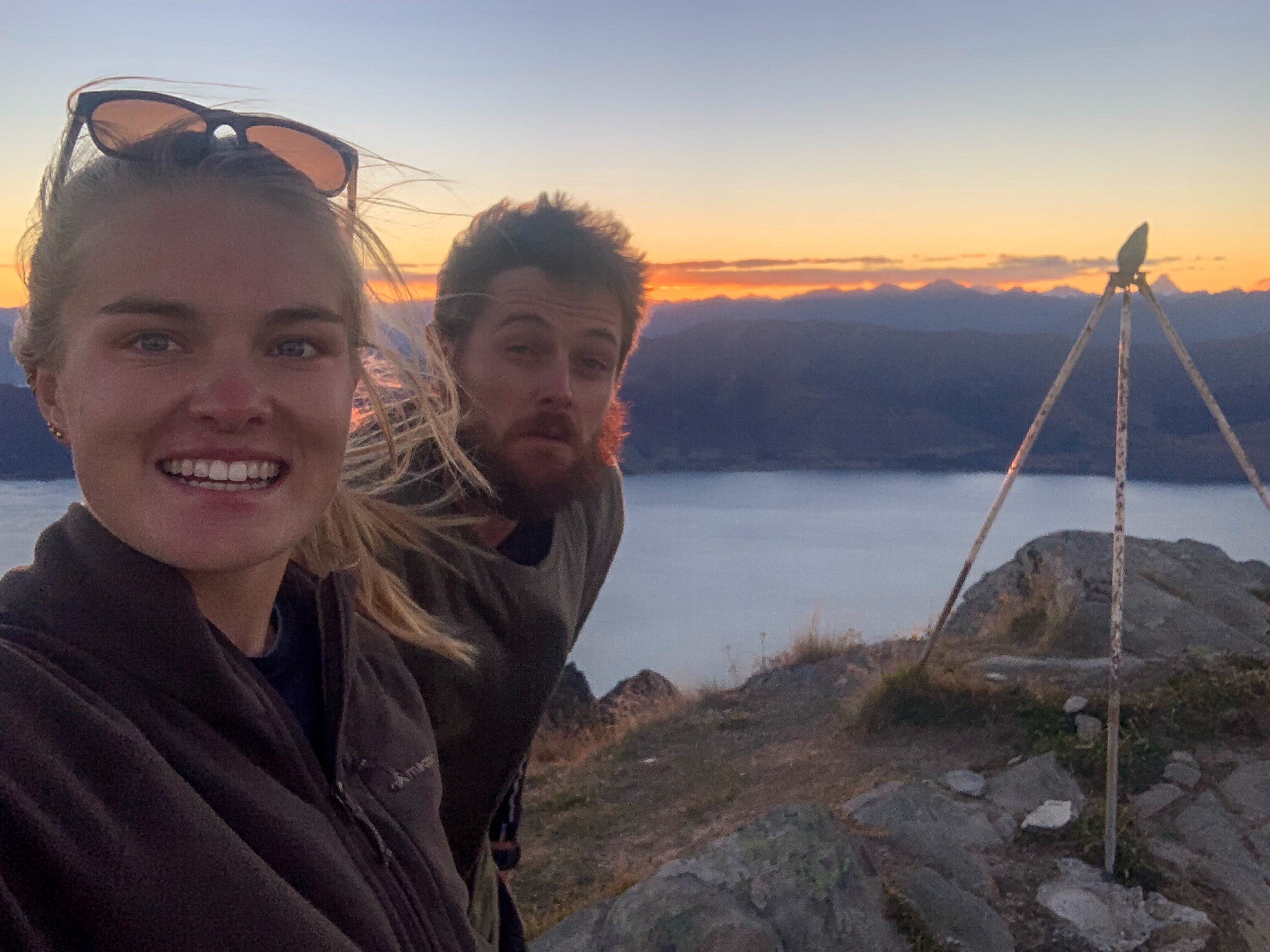
Continuing on trail the bikes were sadly switched out for our shoes and rivers crossings, mud and hills were tackled again. In particular Breast Hill at 1578 metres was summited, which at sunset offered beautiful views of Lake Hāwea and the Southern Alps, unfortunately while Mt Aspiring was in the distance I really couldn’t tell you which peak it was haha.
As the light disappeared the air chill set in and we raced along the ridge line to the hut for the evening. That night we stayed in Pakituhi Hut which at 1300 metres is the highest we have bunked. 🙂
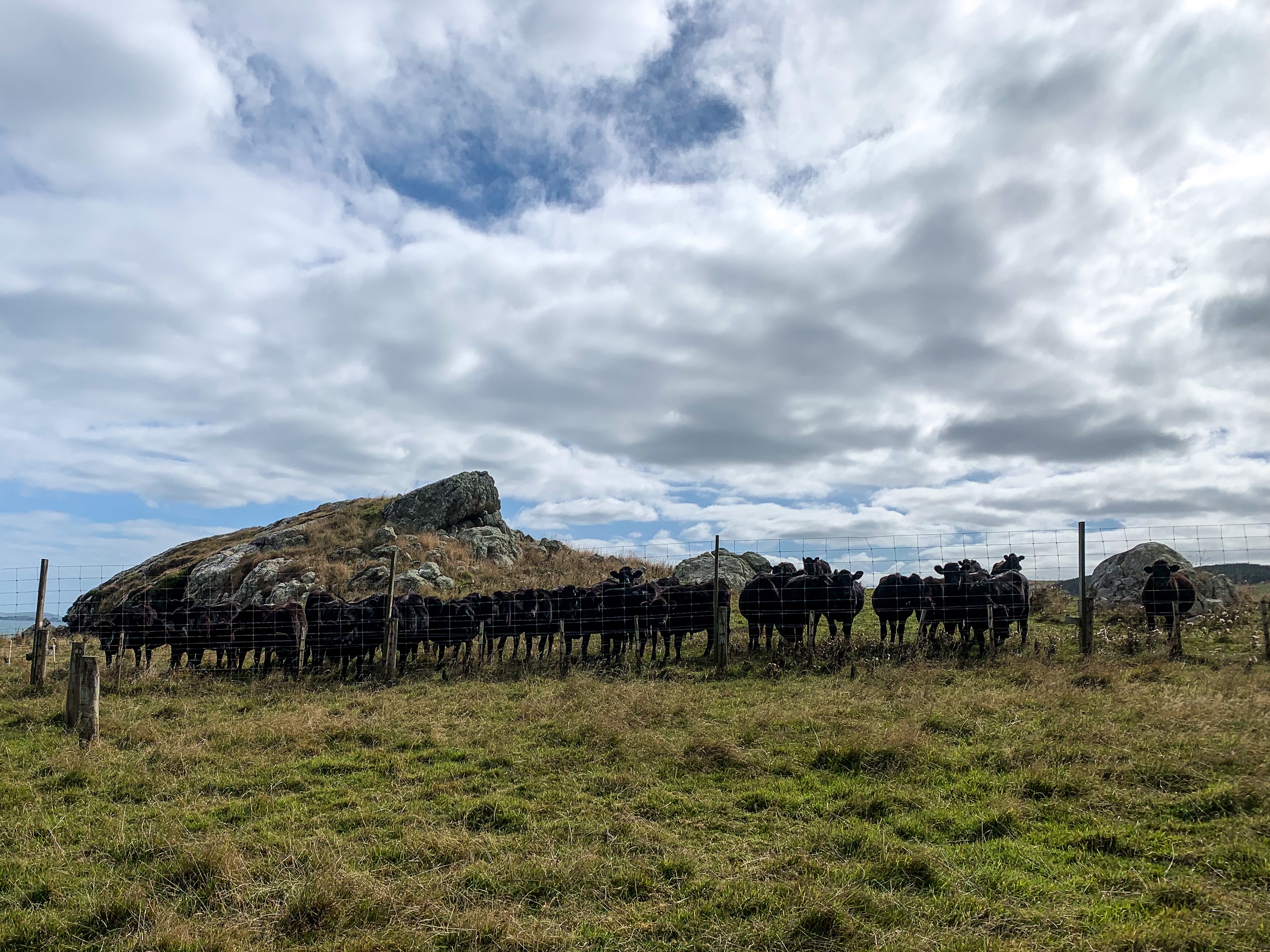
Along the ridge line N.D and I also faced a first, alpine cows, well cows on the track at a high elevation. So alpine cows! I was very glad to have a buddy when getting them to share the track with me.
From Lake Hāwea we trotted the Gladstone trail to Albert Town and alongside the Clutha River to Lake Wanaka where we were greeted with our favourite town refreshment! I even got to meet Shelby and Jordan who completed Te Araroa last season and were just as kind in person as they are on youtube (felt like meeting celebrities to be honest).
“Some storms come to clear your path and guide you to brighter days.”
Paulo Coelho
Day 87 to 90
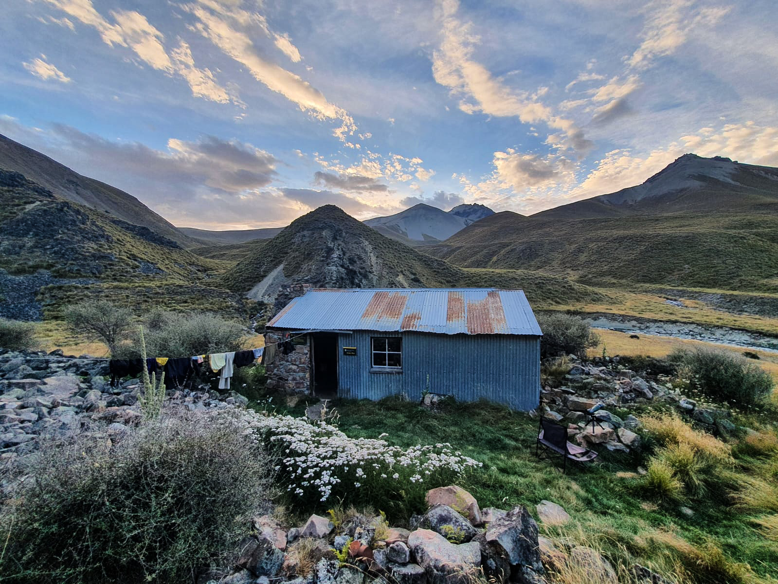
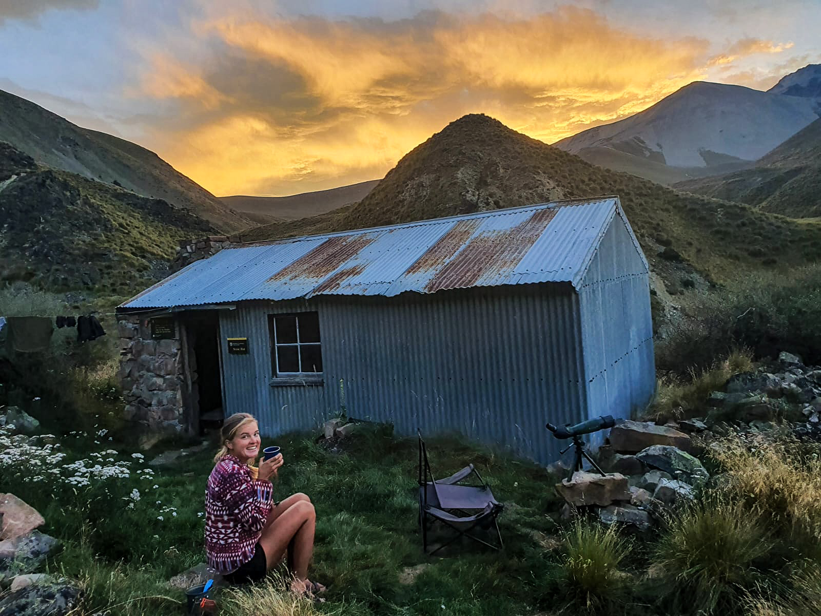
Day 87 – Bush Stream to Stone Hut ; 18 km
Day 88 – Stone Hut to Stone Hut ; 0 km (rained and fogged in/bad weather day)
Day 89 – Stone Hut to Richmond Track/Skifield ; 26 km
Day 90 – Richmond Track/Skifield to Lake Tekapo ; 29 km
Total hiked: 2408 km
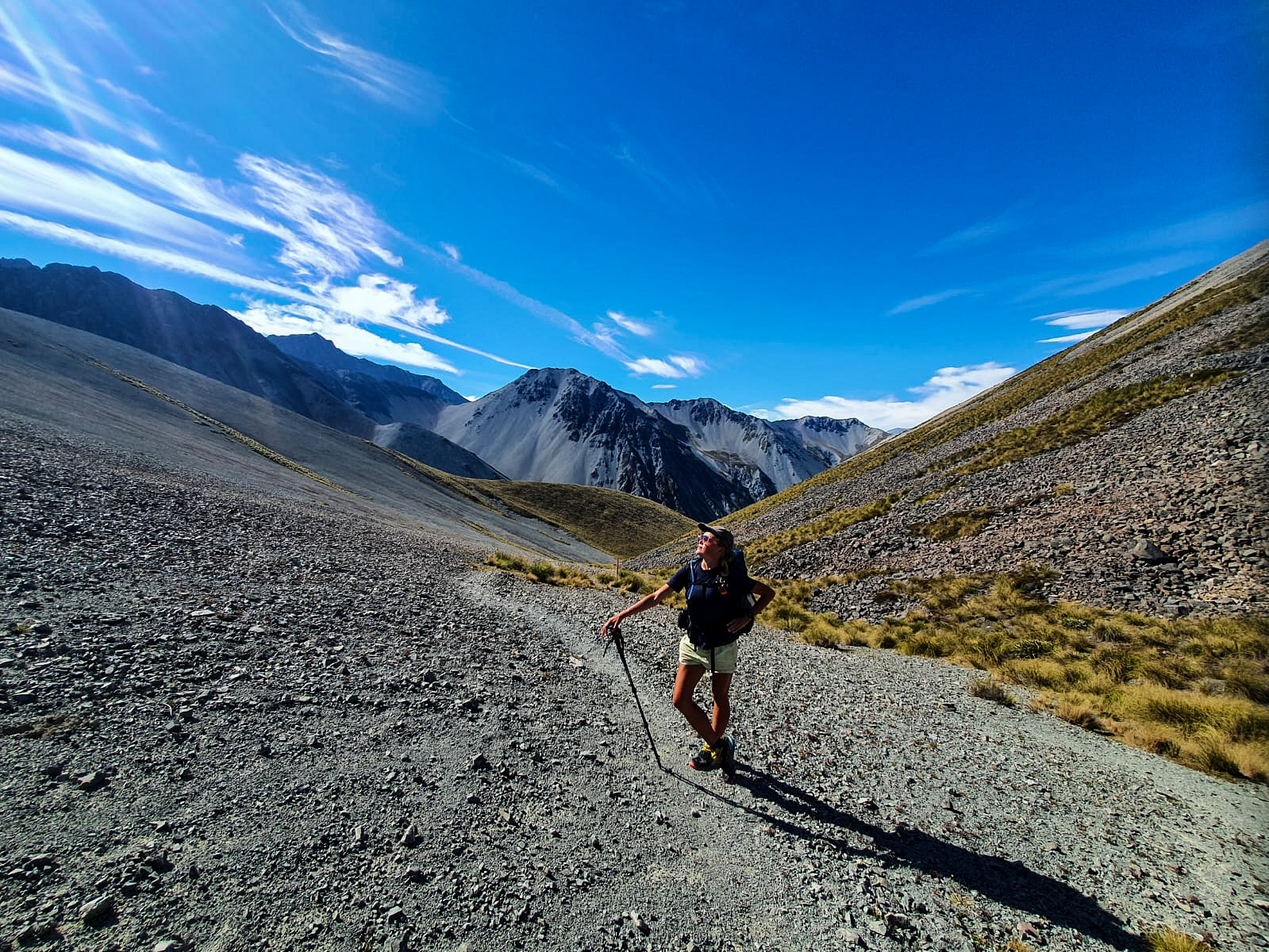
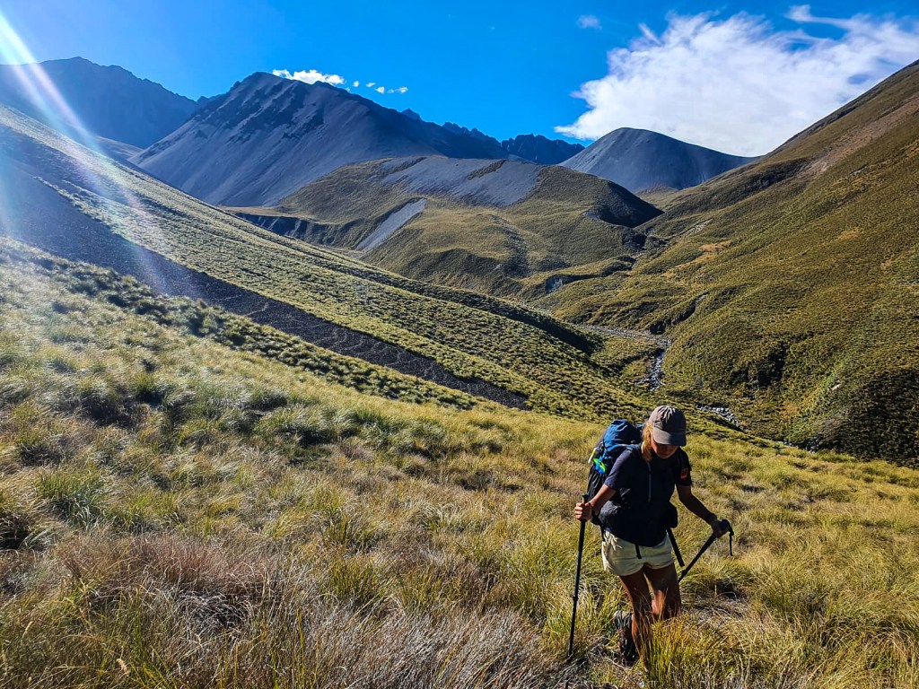
The next section of the trail is definitely considered a highlight amongst most TA’ers and for N.D and I that is no exception!
The Two Thumb track is a high country trail that traverses through the Te Kāhui Kaupeka Conservation Park.
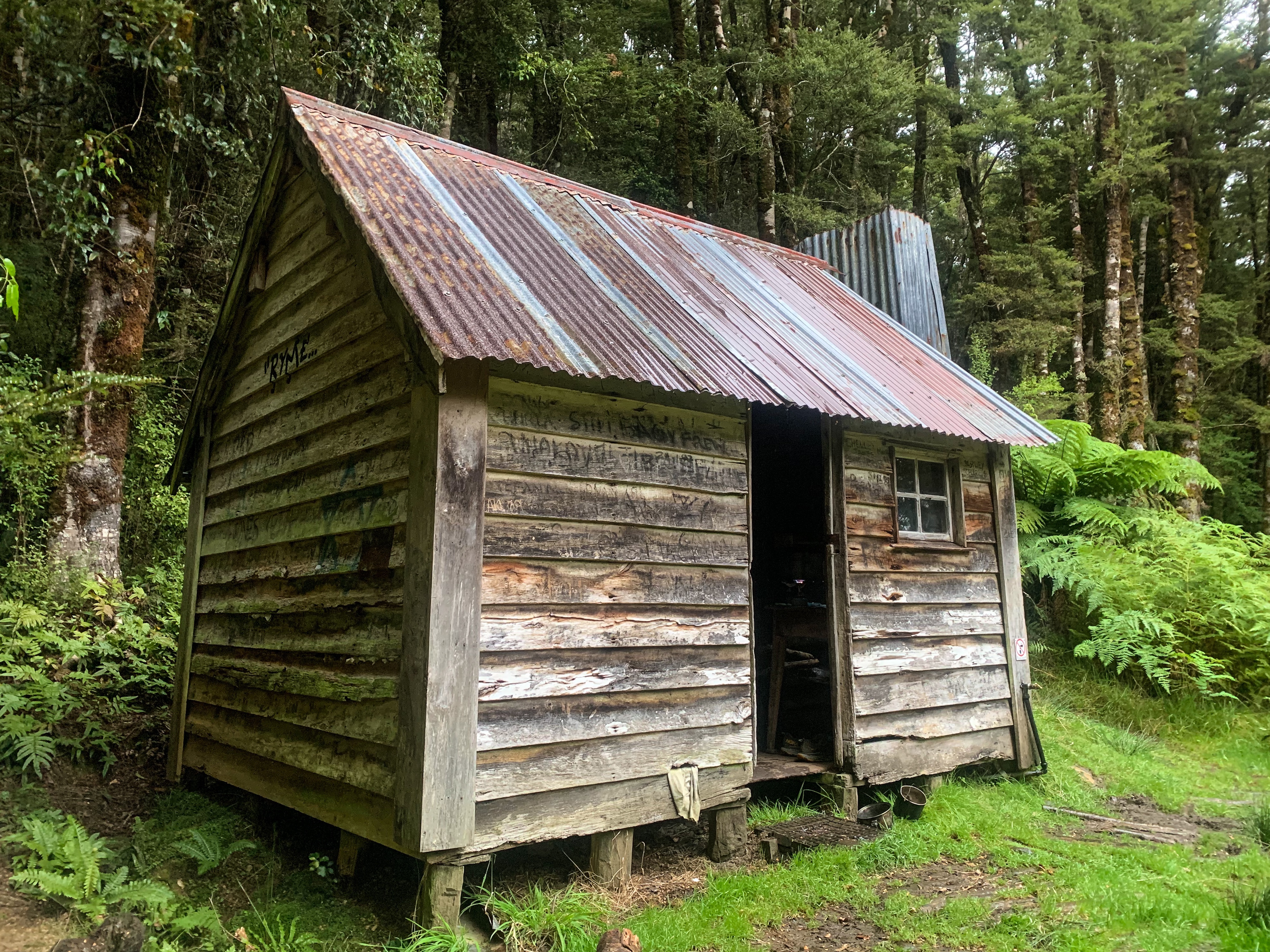
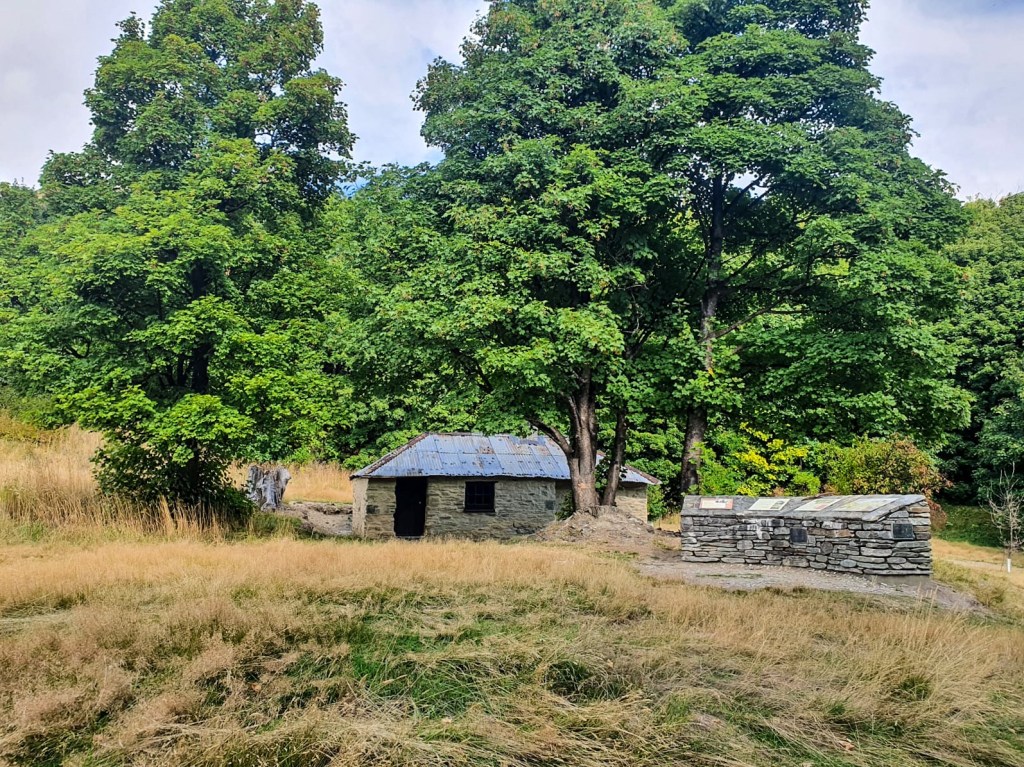
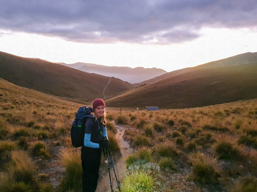
Starting from the Bush Stream end we followed the similarly named river through the Brabazon and Sinclair Ranges valley to the first of many questionably weather tight, historic huts.
During that scorcher of a day we passed Crooked Spur Hut, trotted over the saddle and down to Stone Hut for the night.
Happily oblivious to the changing weather that was to befall us the next day.
On waking the following morning gone was the clear sky and warm weather instead replaced by dense fog, chilly temperatures and a dripping on my forehead. Initially thinking N.D was jokingly spitting on me I rolled over and cuddled further in my sleeping quilt only to have him exclaim the roofs leaking… would have been easier to manage if it was his spit. 😦
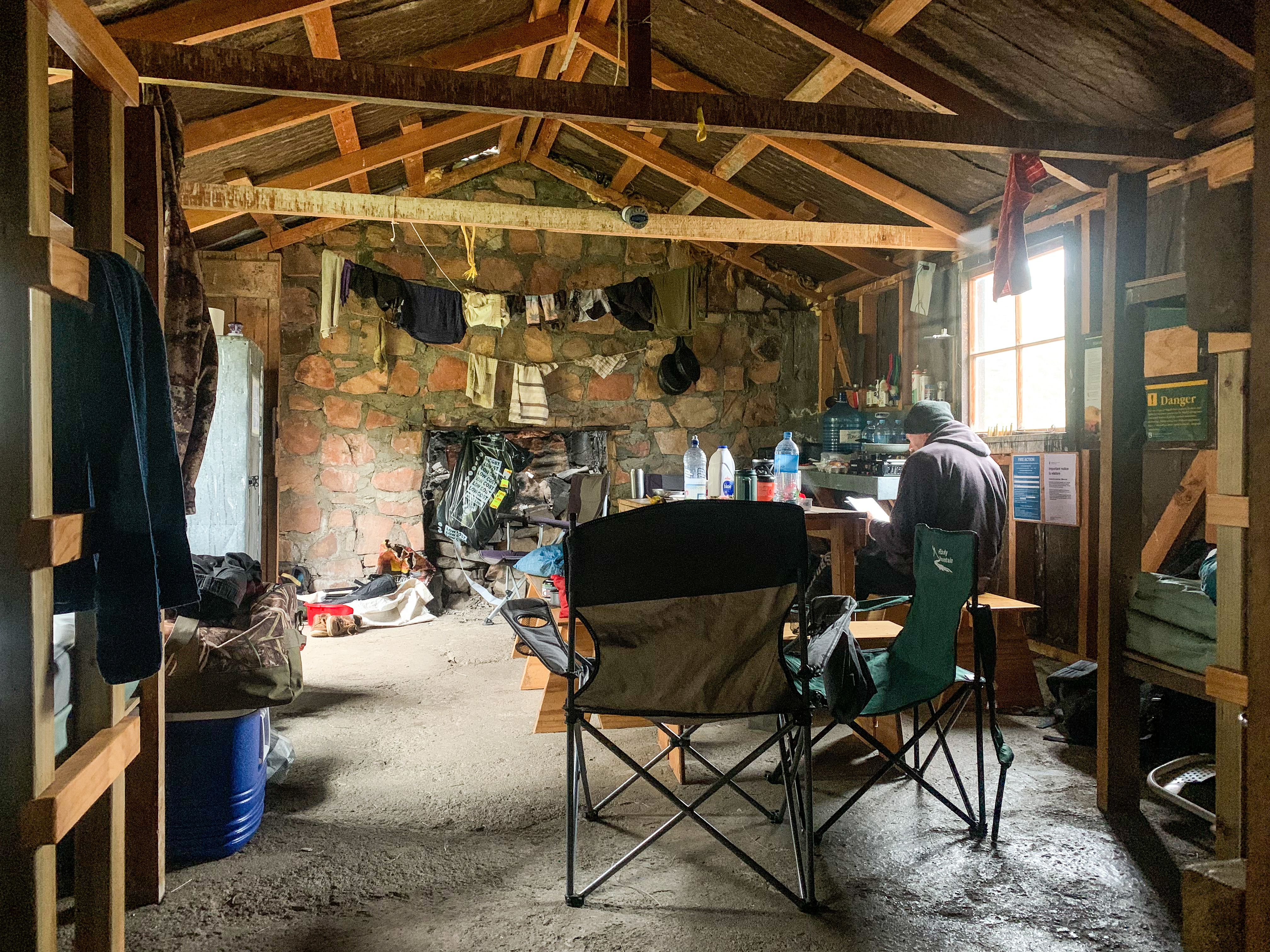
With squashed hopes of great weather for the big saddle ahead we opted to wait out the fog and rain in the hut. Instead the day was spent bundled up in our thermals and fleece, nibbling treats, sipping copious hot drinks and reading; it was a great! Plus we had two lovely hunters as company who cooked us tahr that they had caught the day before.
Very fortunately the following morning the skies cleared and we boosted out of the hut early for what would be an amazing day!
Passing Royal Hut we stopped for a quick picture to commemorate my love of the British Royal Family, as the hut is appropriately named after the visit of Prince Charles and Princess Anne during the Queens Commonwealth tour. Next stop was the saddle of all saddles.
Taa daa – Royal Hut
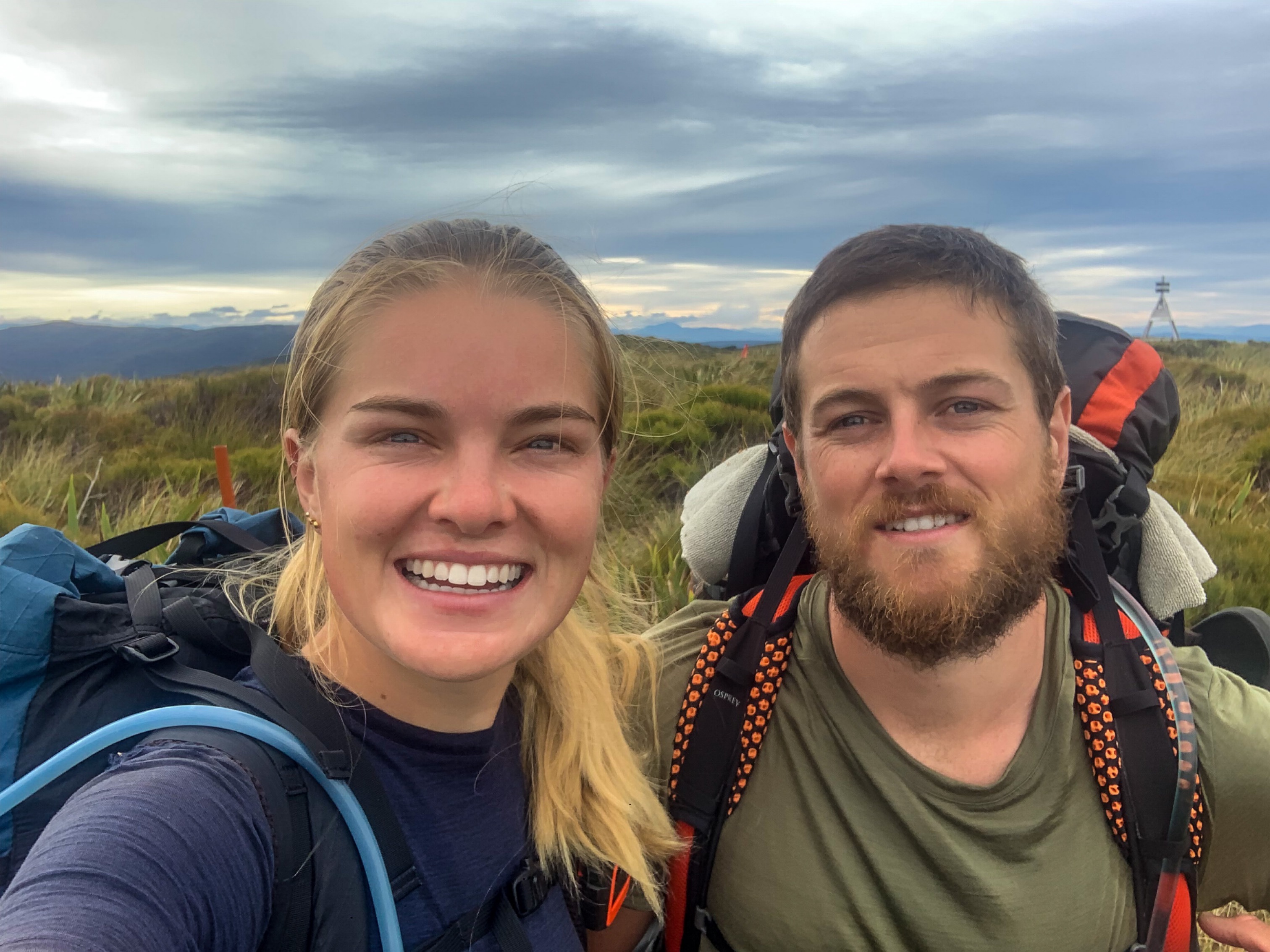
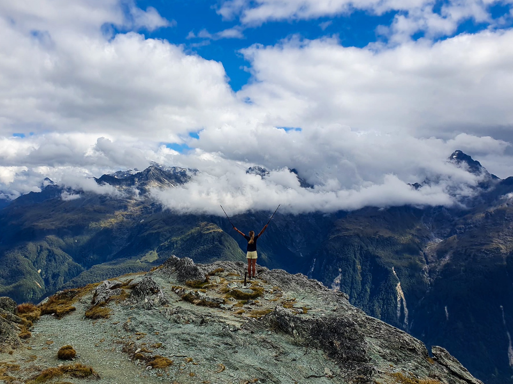
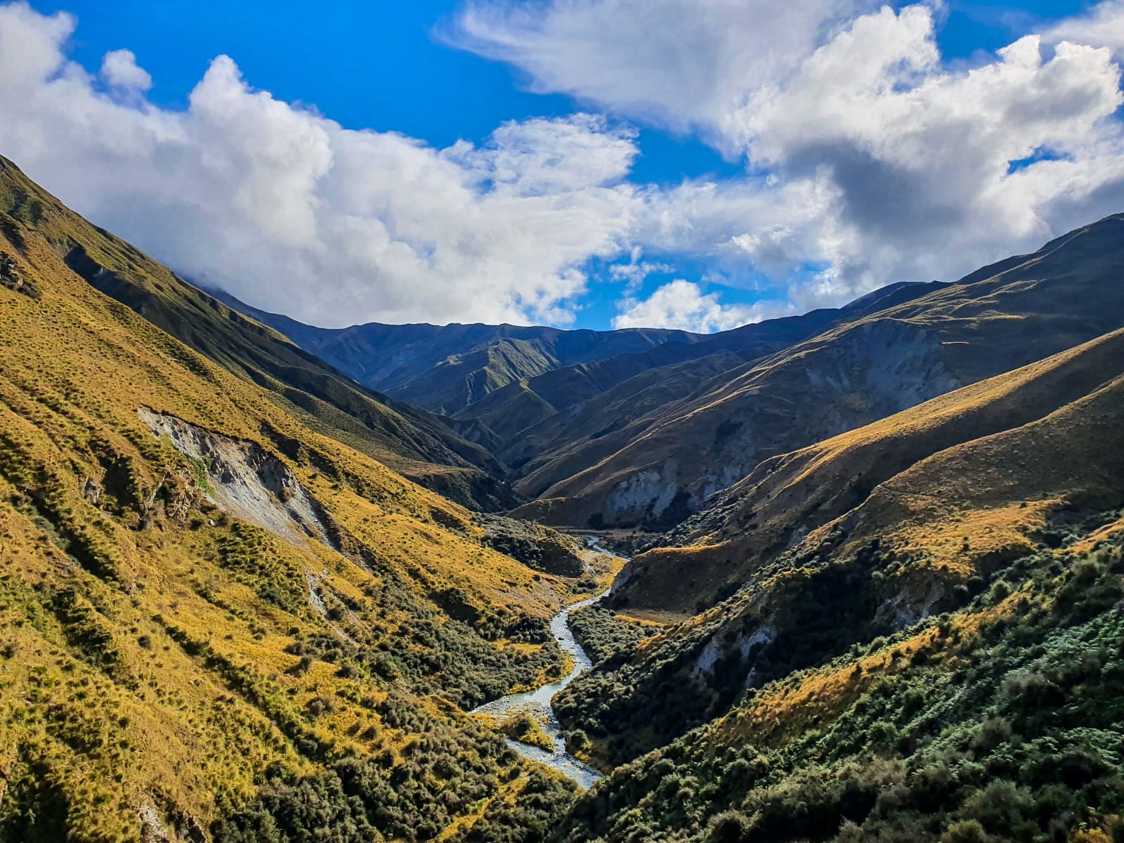
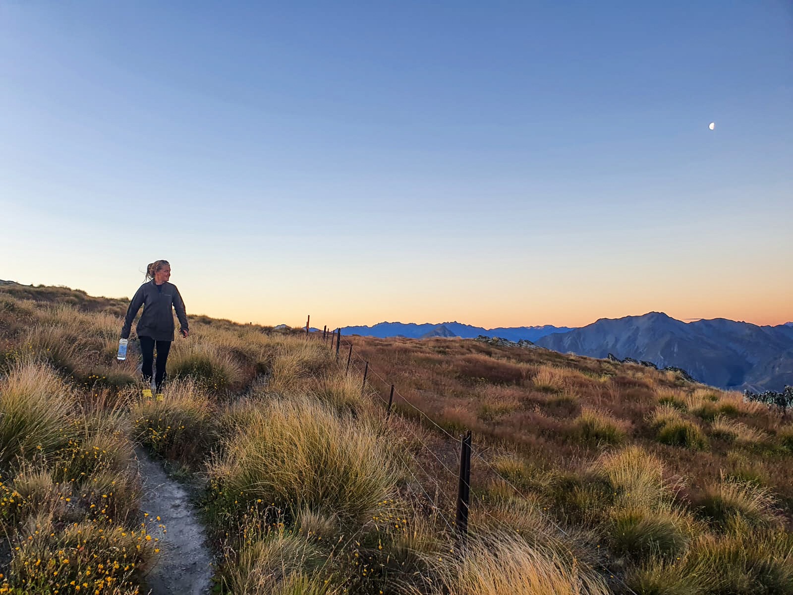
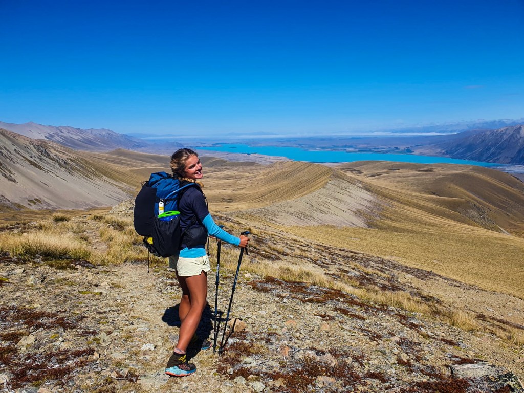
Te Araroa encompasses a 3000+ kilometre trail that stretches from the top of the country to the bottom, there are many summits, passes and saddles to cross but none as tall as Stag Saddle. At 1925 metres above sea level it would be the highest point on trail that N.D and I would trot and I couldn’t have been more excited! As we made our way up the grassy turned scree slope towards the saddle my heart was palpable, my chatter became fast-paced (well more so than usual) and I began barrelling ahead to reach it first. 🙂
Pretty chuffed 🙂
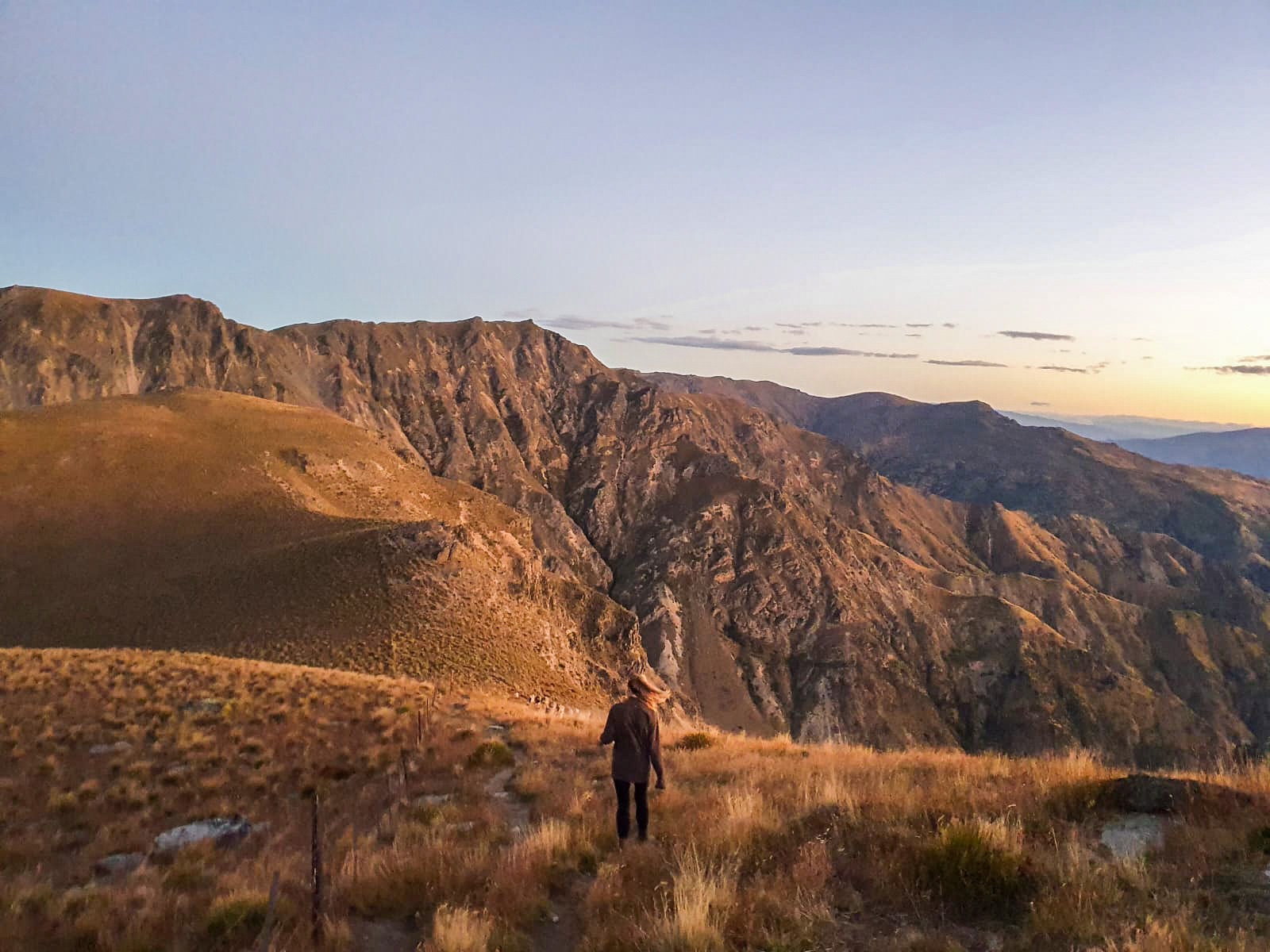
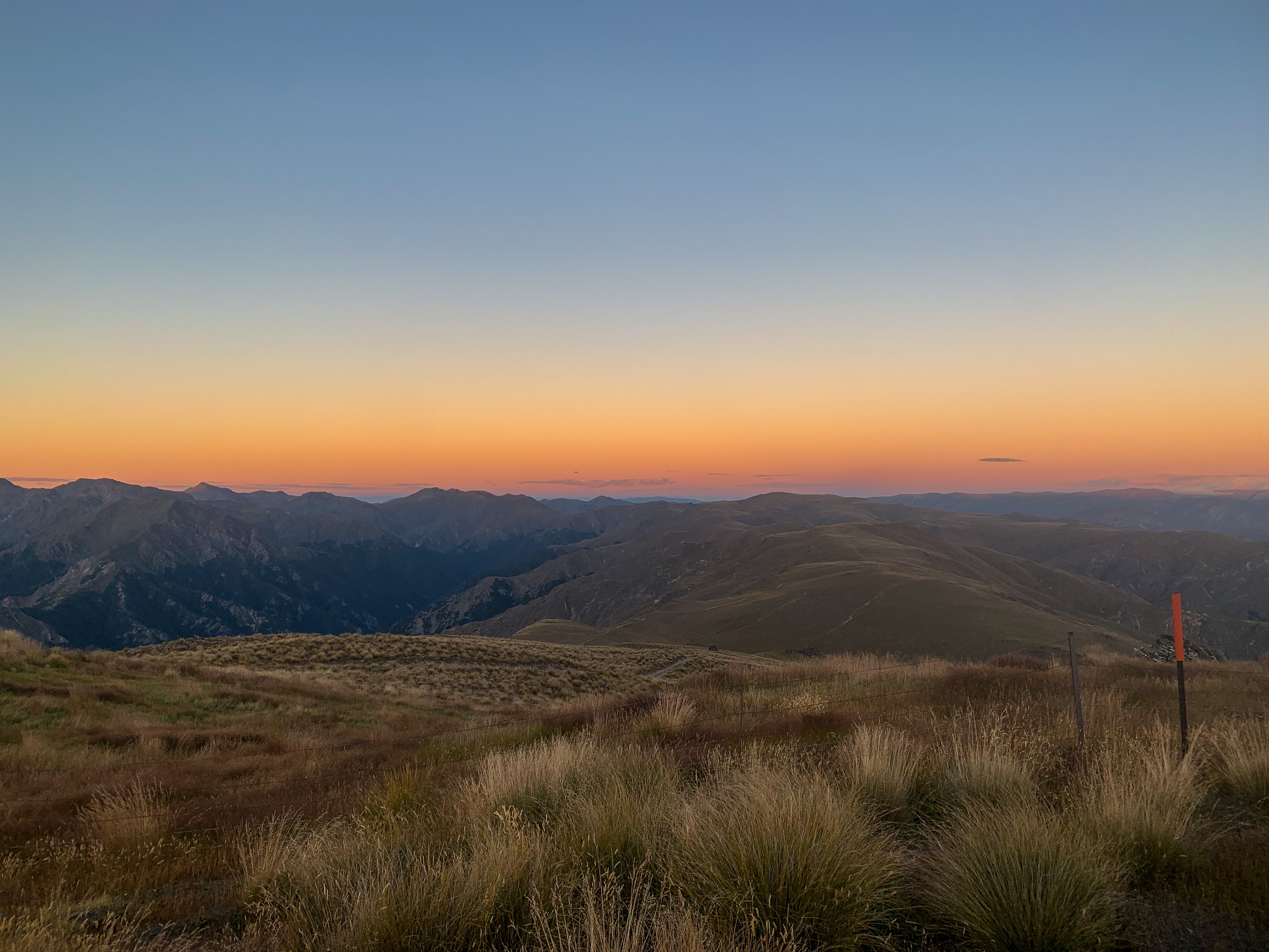
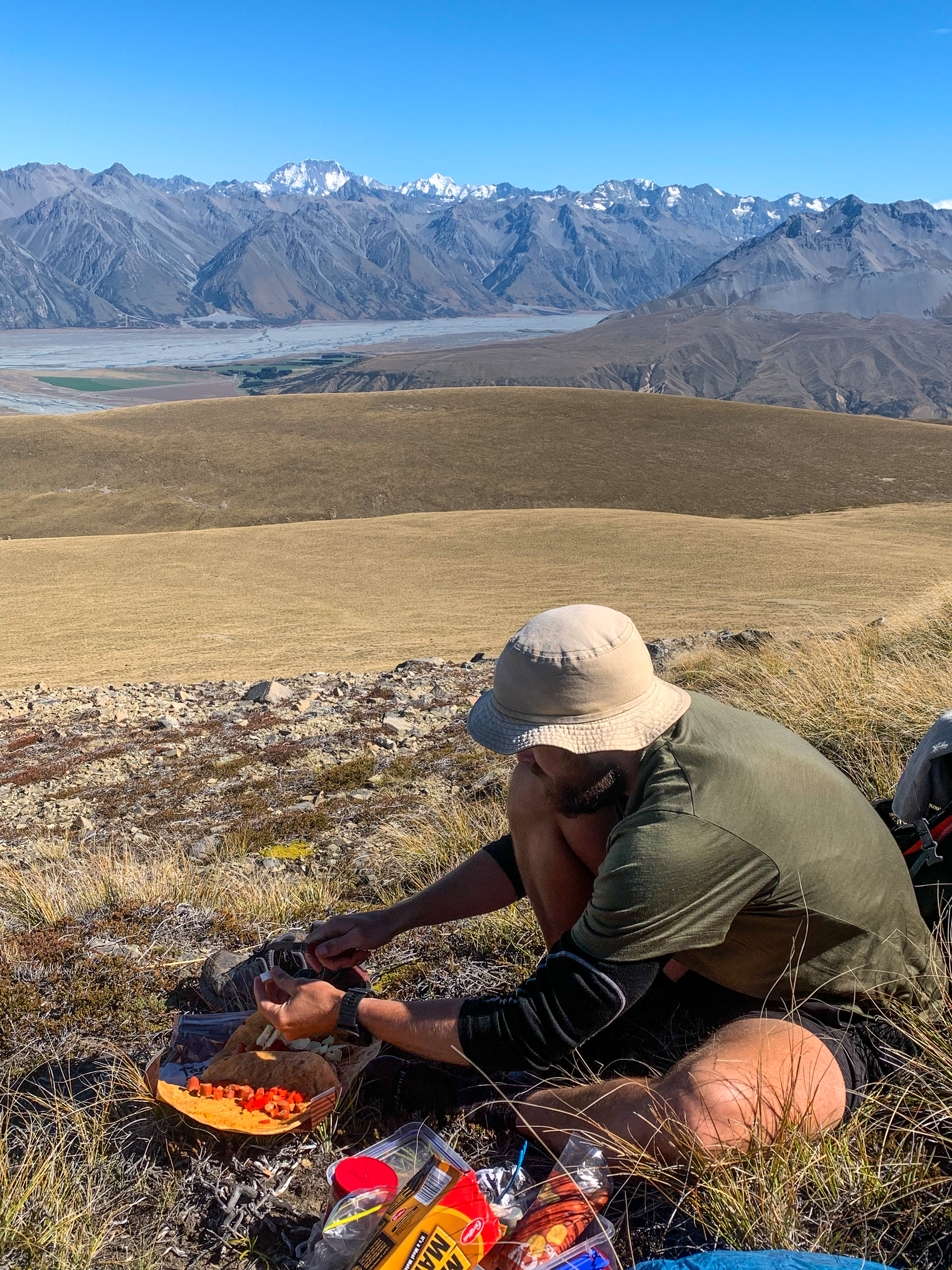
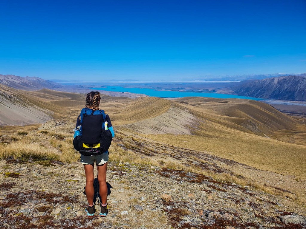
The views from the top did not disappoint! 360 degrees of valley below, ridge lines either side and the stunningly, bright blue Lake Tekapo ahead; it was magnificent. We had done it, we had made it to the highest point on trail and now just had to walk down… and then all the way to Bluff. 😛
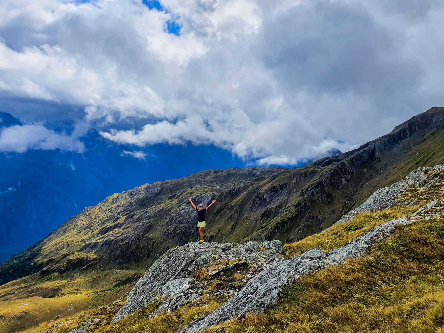
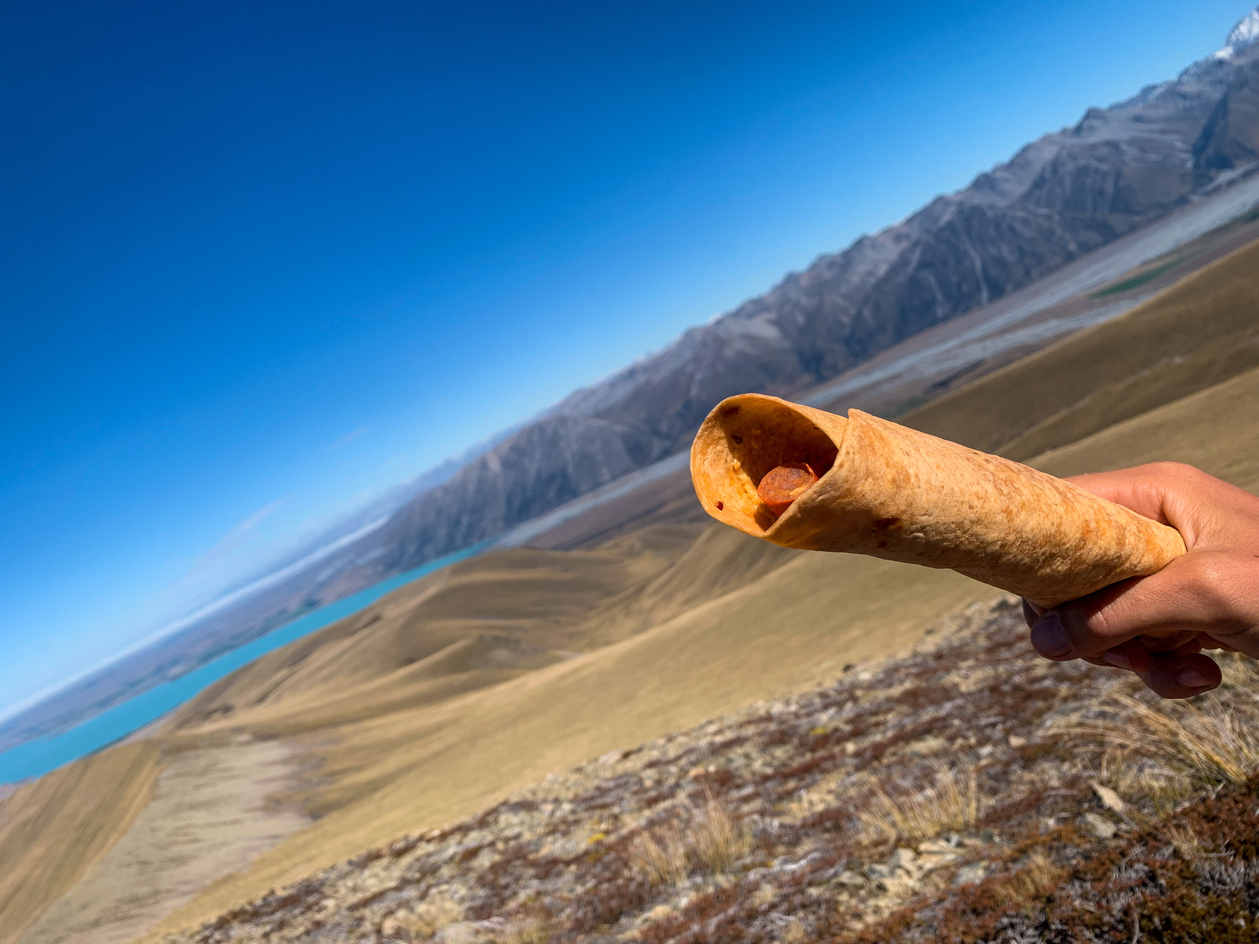
But not before missing the very ‘not obvious’ track along the ridge line and instead trotting down the scree sideways for thirty minutes before hoofing it back up the slopes, finally making it onto the actual track. The lunch spot views of Mt Cook and Lake Tekapo made the scree scramble all worth while though.
Views from Stag Saddle
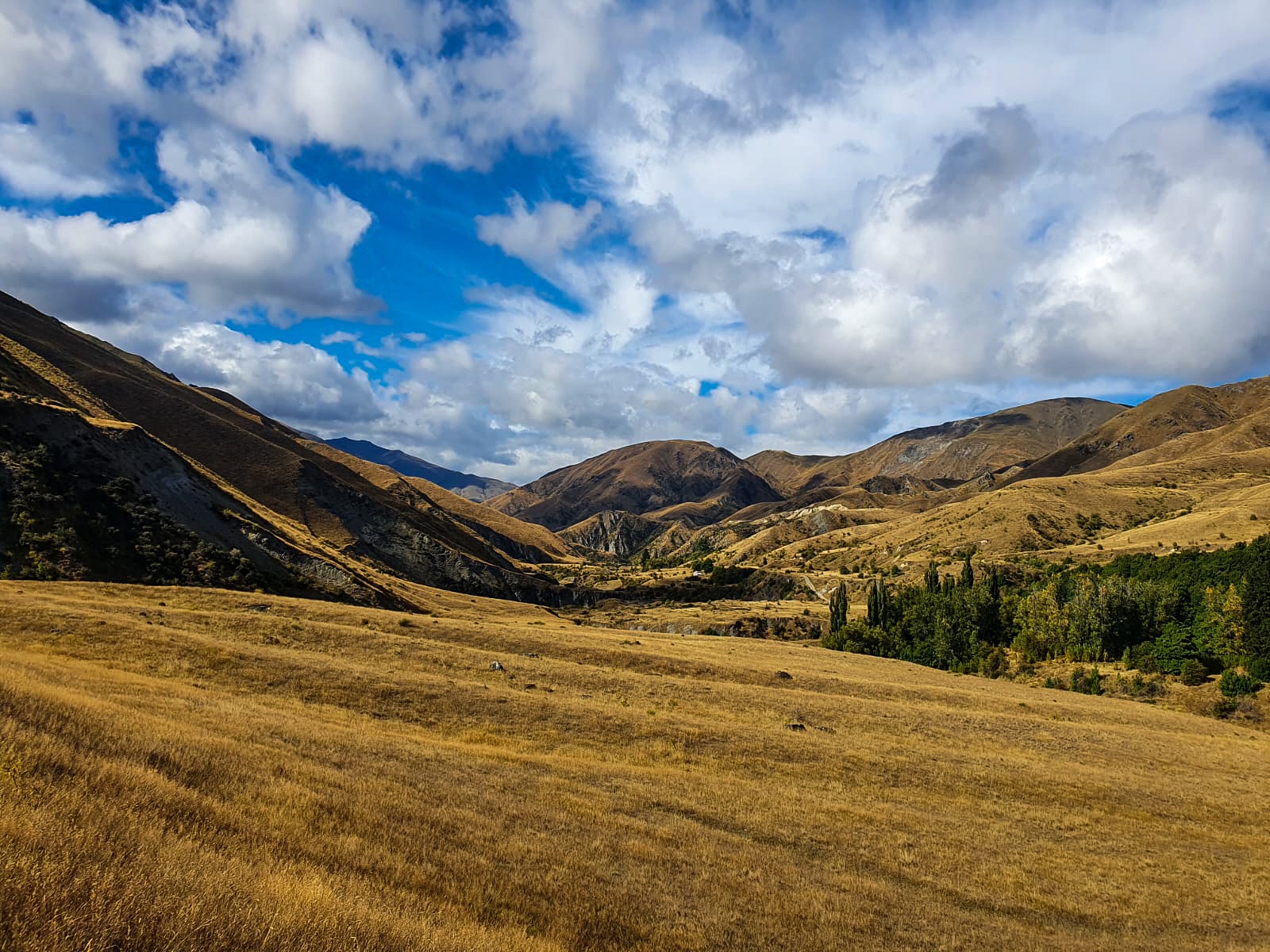
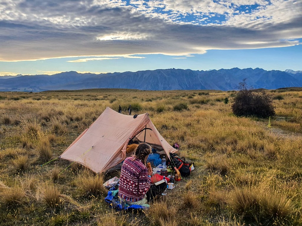
By nightfall we had made it off the ridge line, past Camp Stream Hut, up another big hill and onto the Richmond track to find a tent spot below Tekapo Skifield.
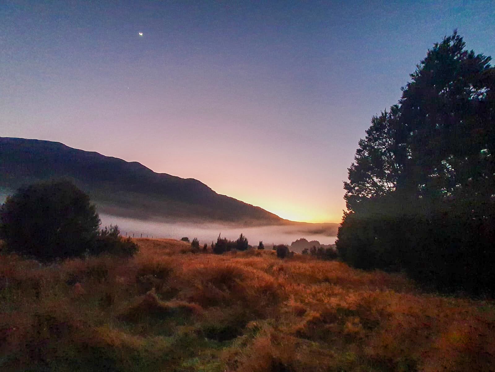
What a day! I was still chuffed the next morning when we began our long road walk to Tekapo and past the bluest water I have ever seen… but I’ll tell you more about that in the next post. 😉
In the meantime try trotting over a high thing you might just get an awe inspiring view!