“Genius is 1% inspiration and 99% perspiration”
Thomas Edison
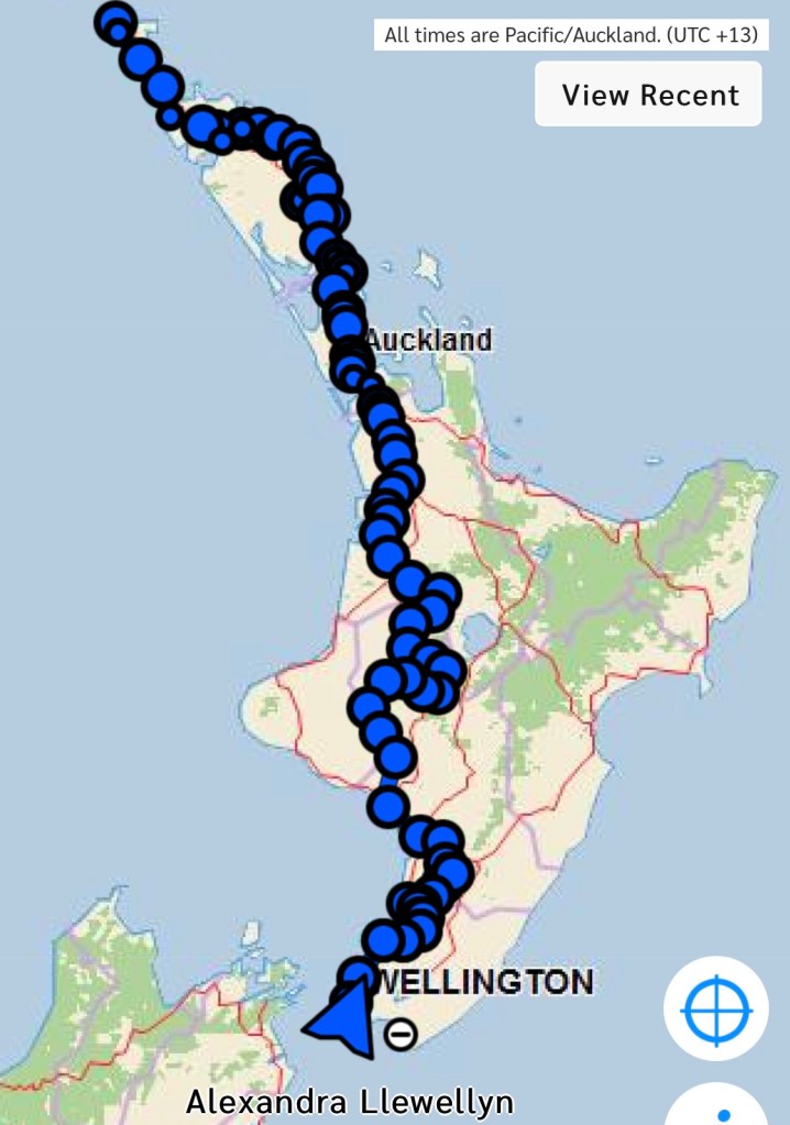
Day 82 to 86
- Day 82 – Arthurs Pass to Hamilton Hut ; 23 km
- Day 83 – Hamilton Hut to Lake Coleridge ; 40 km (Rakaia River Hazard)
- Day 84 – Double Hill to Comyns Hut ; 20 km
- Day 85 – Comyns Hut to Lake Emily ; 23 km
- Day 86 – Lake Emily to Mt Potts ; 31 km (Rangitata River Hazard)
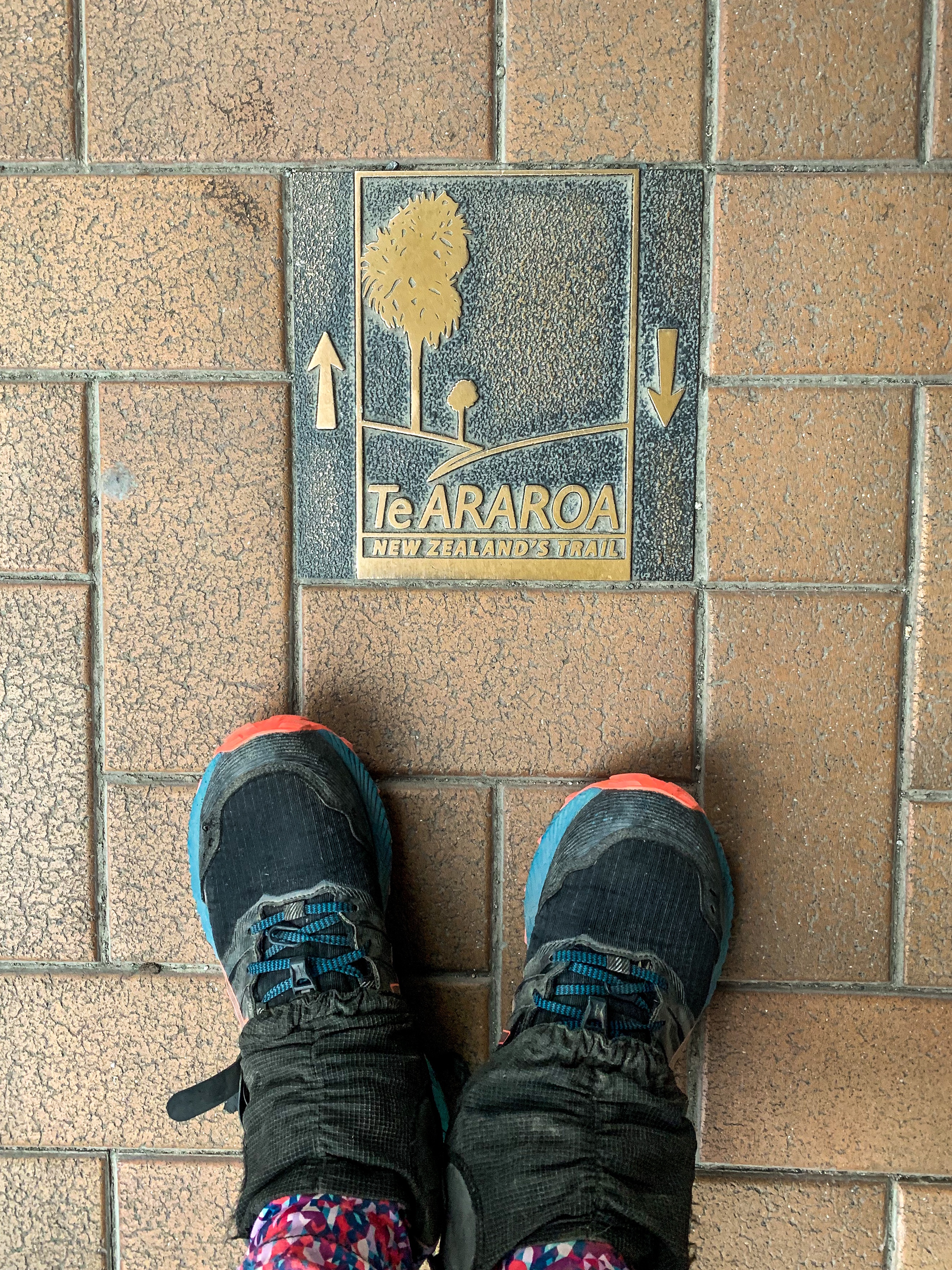
Total hiked: 2335 km
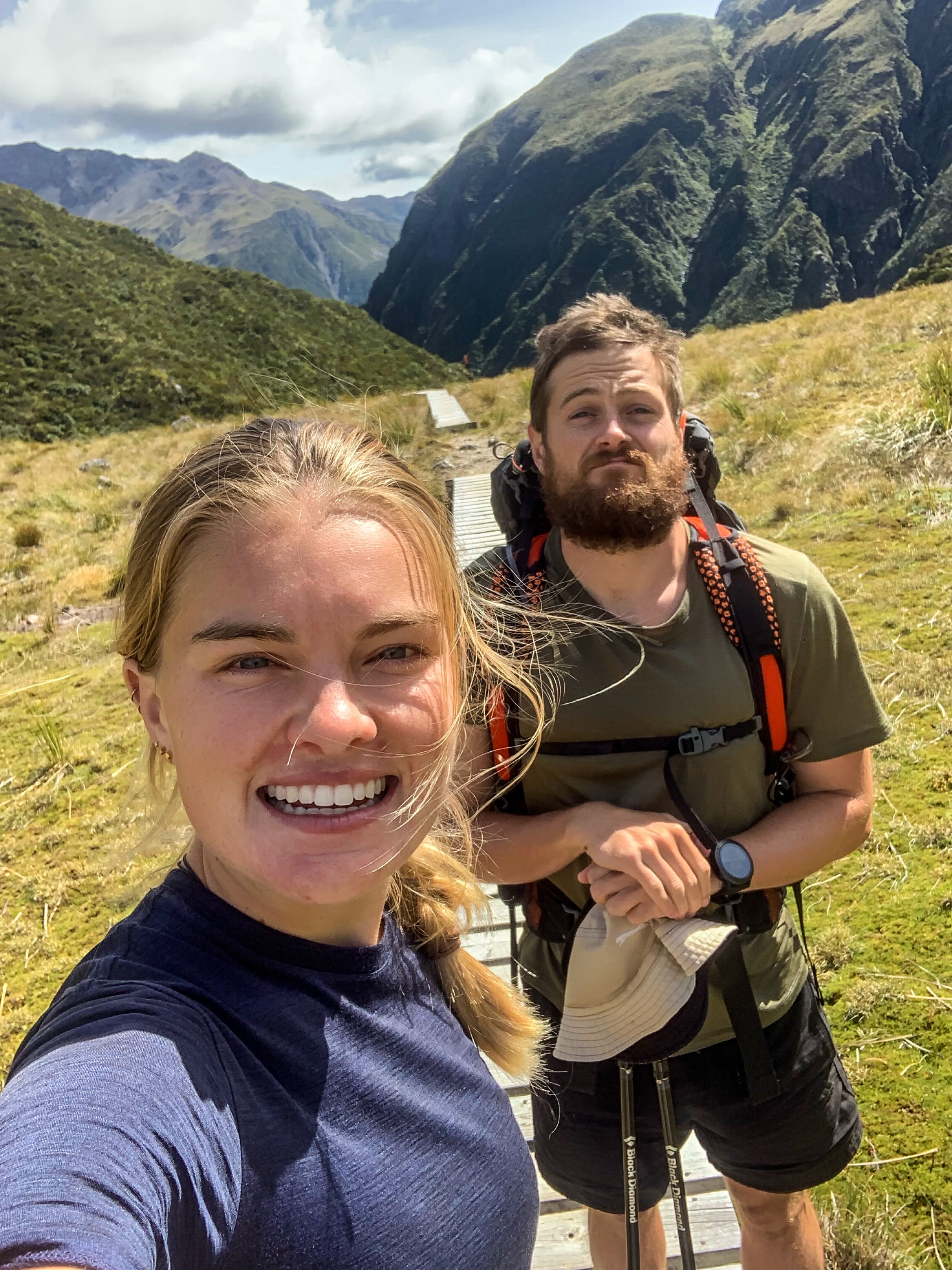
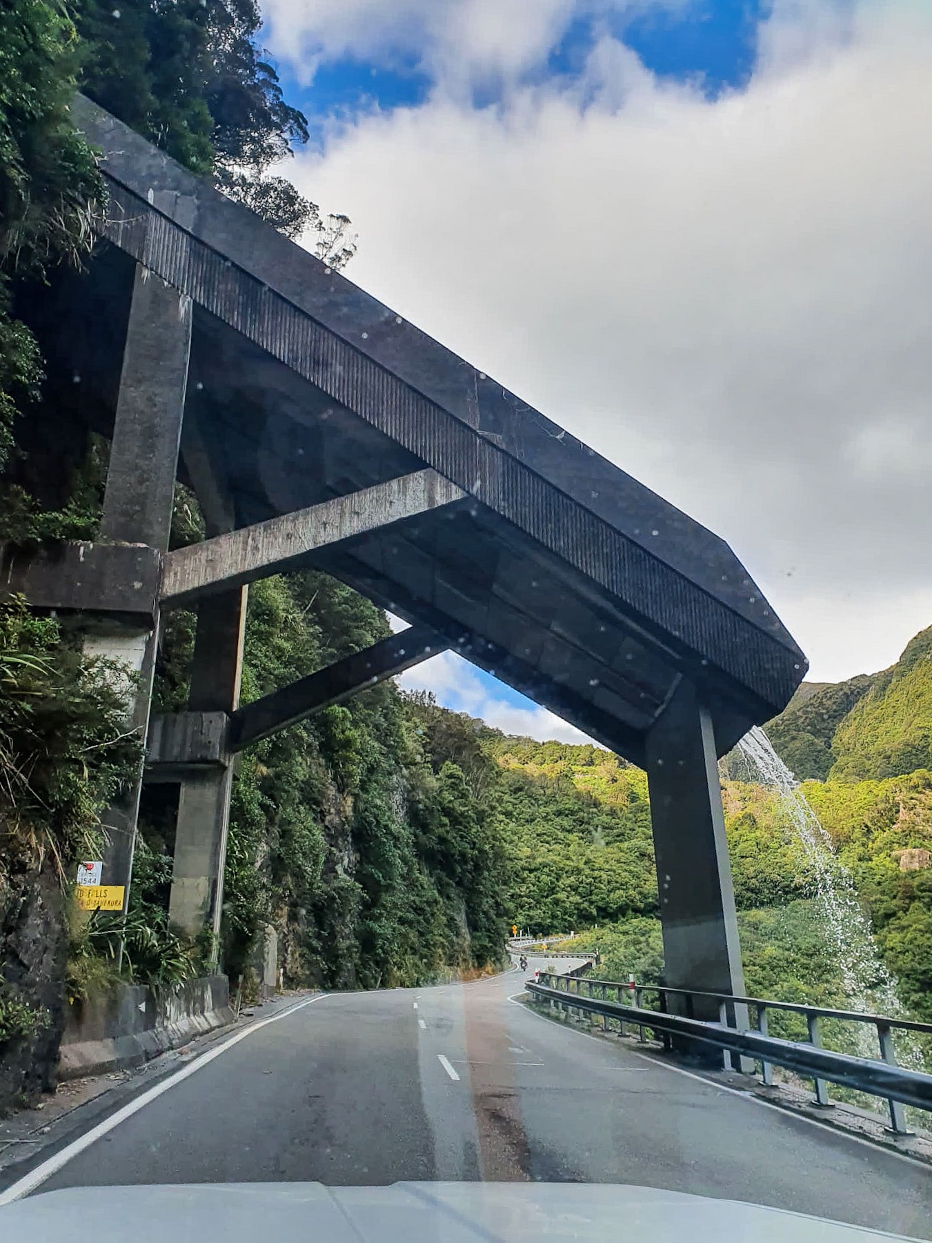
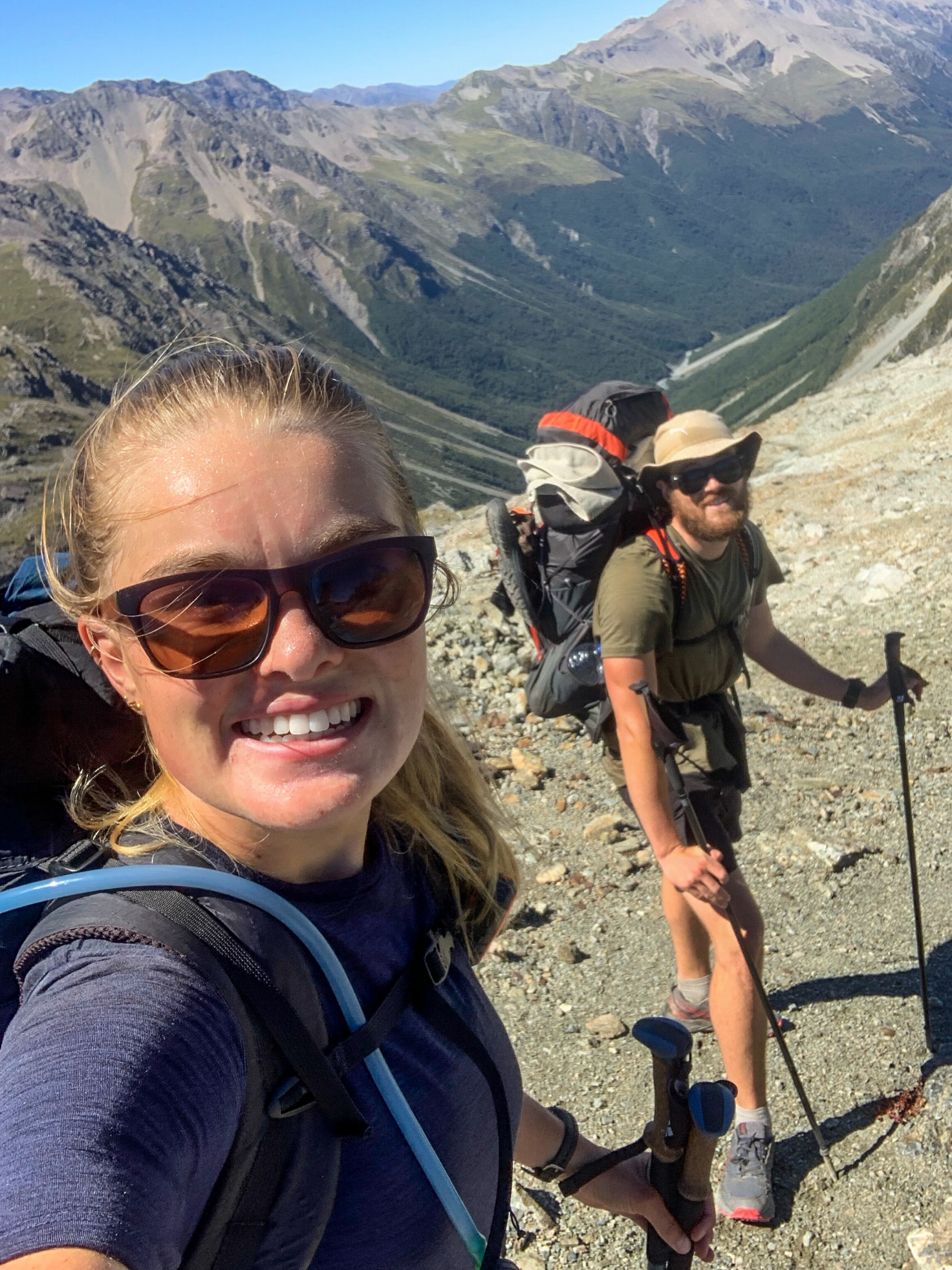
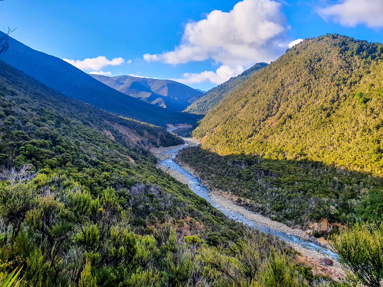
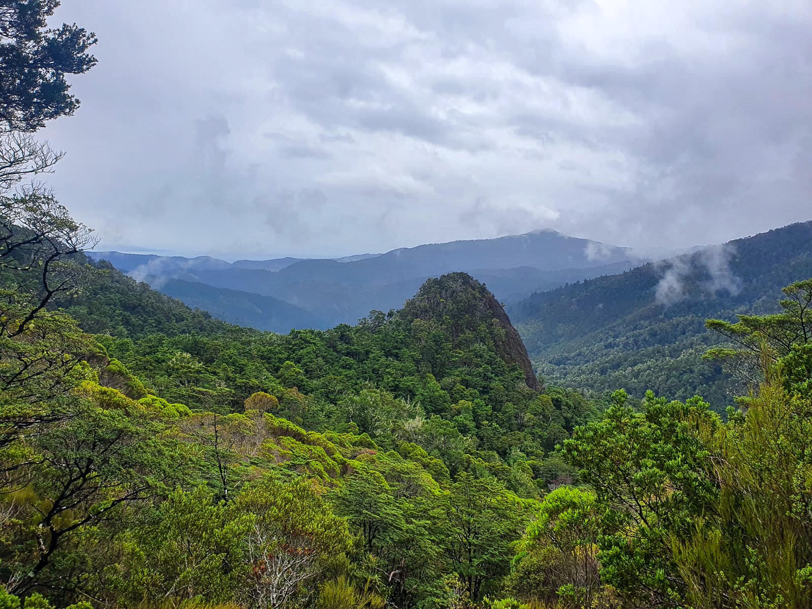
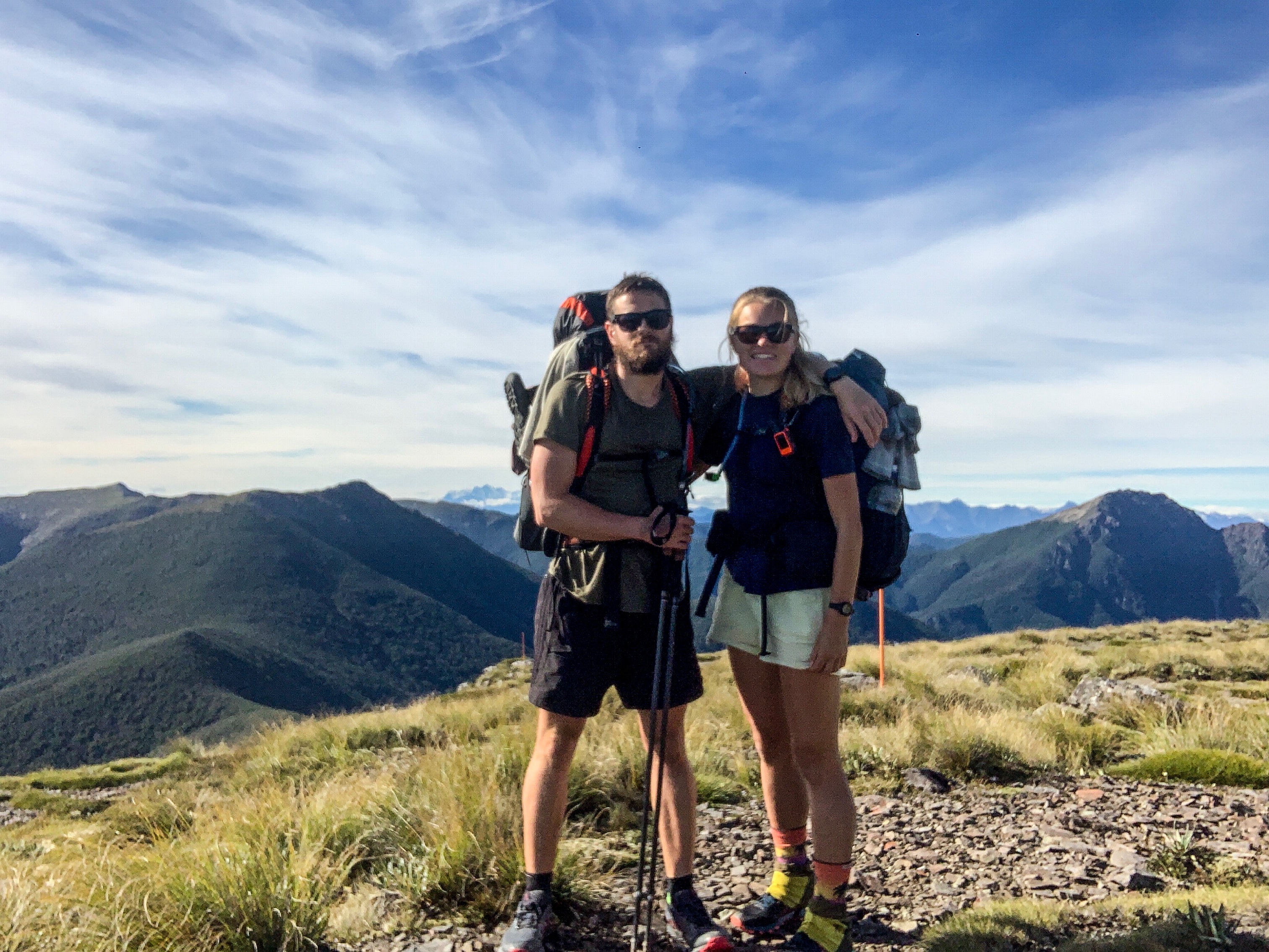
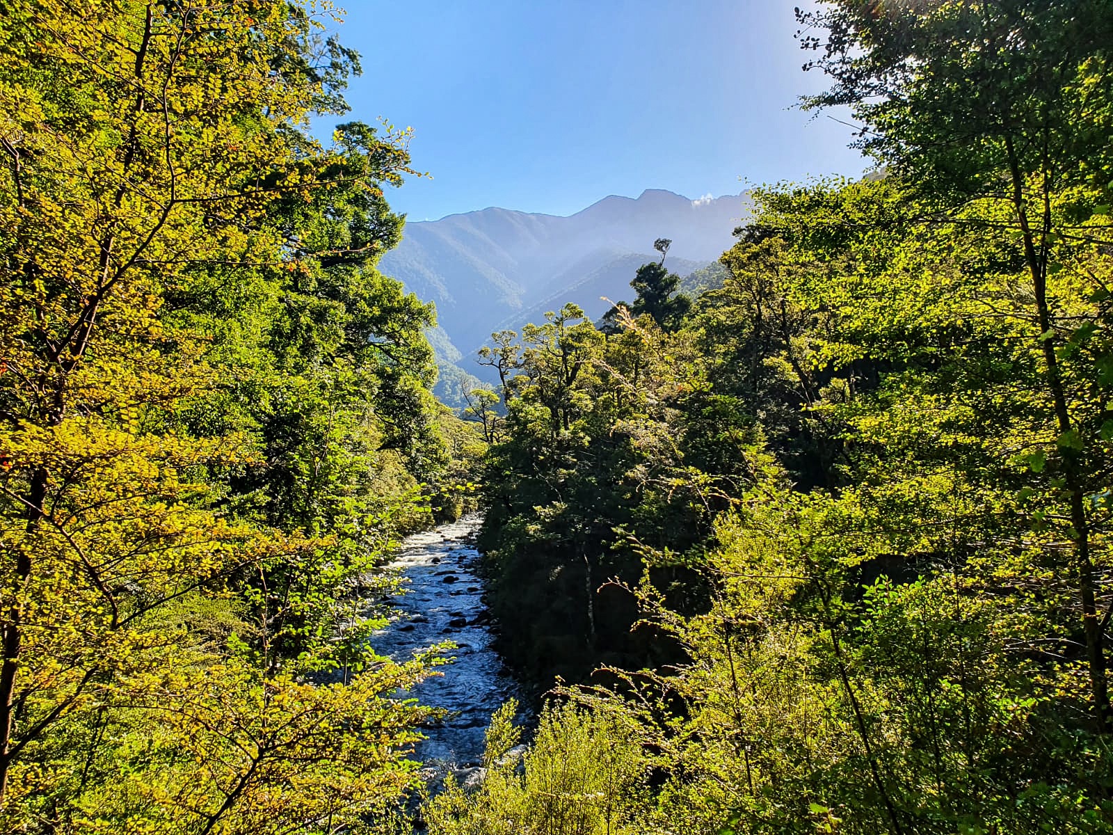
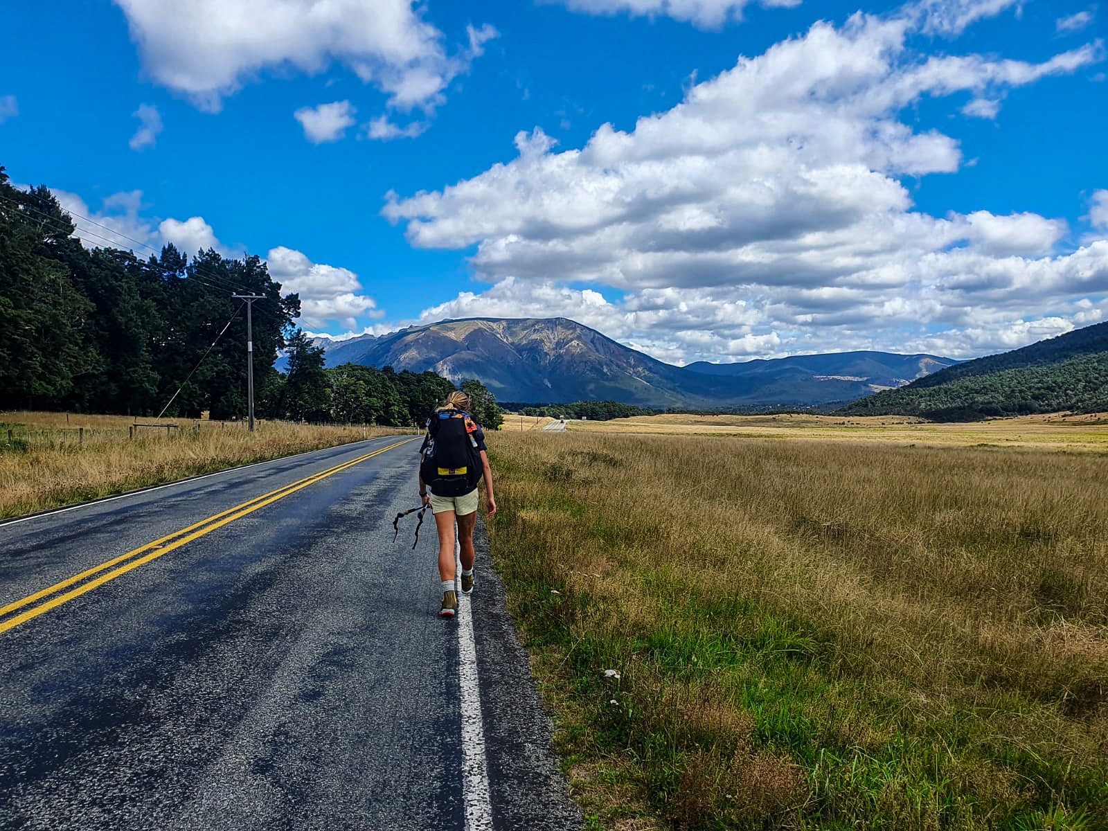
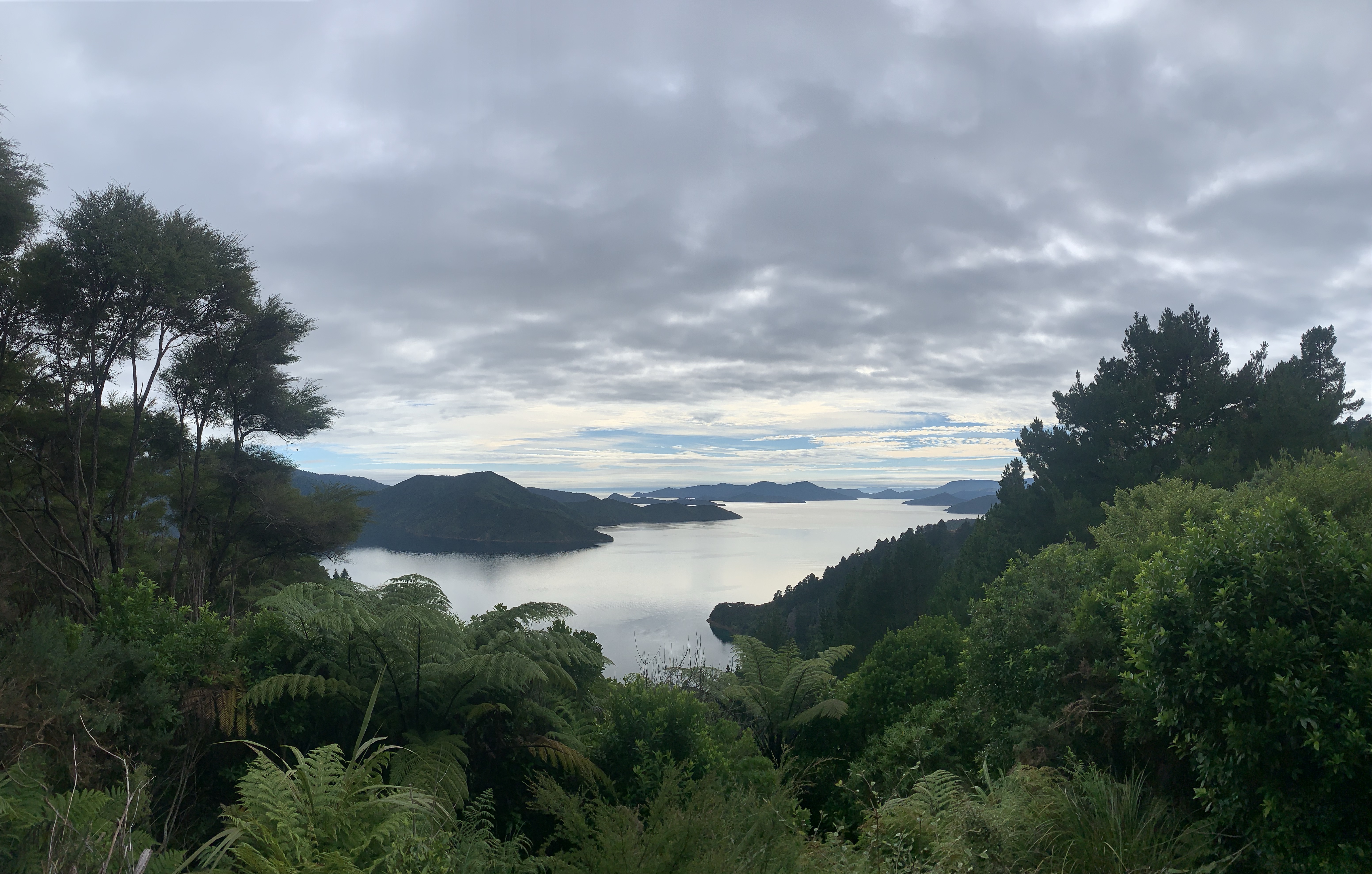
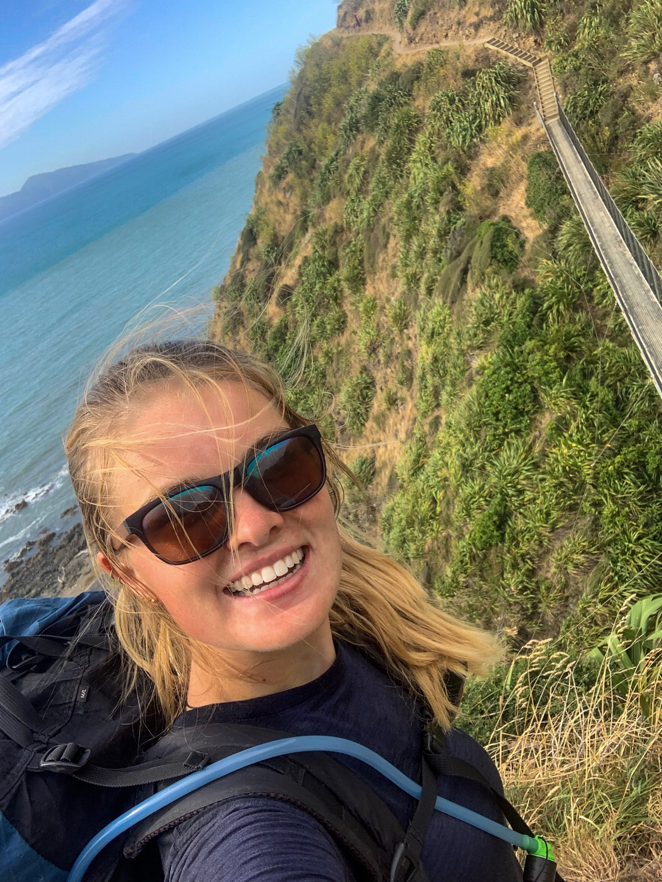
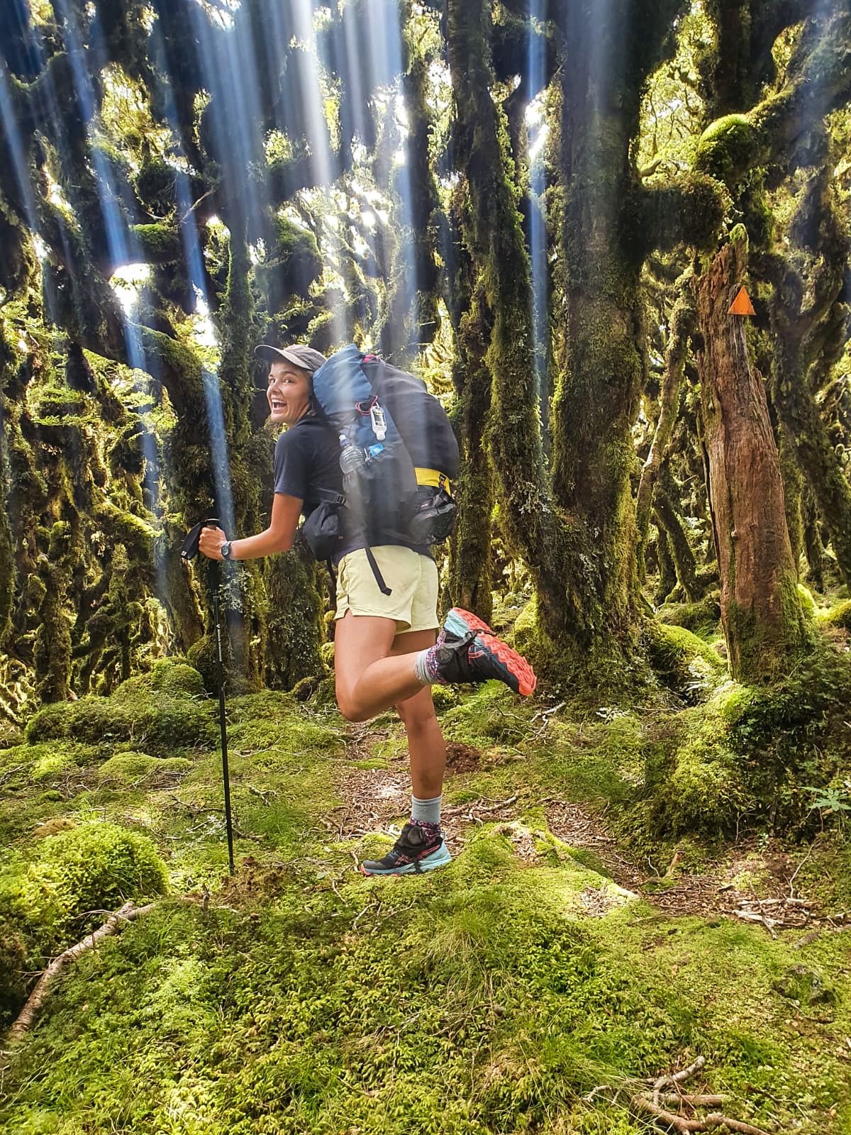
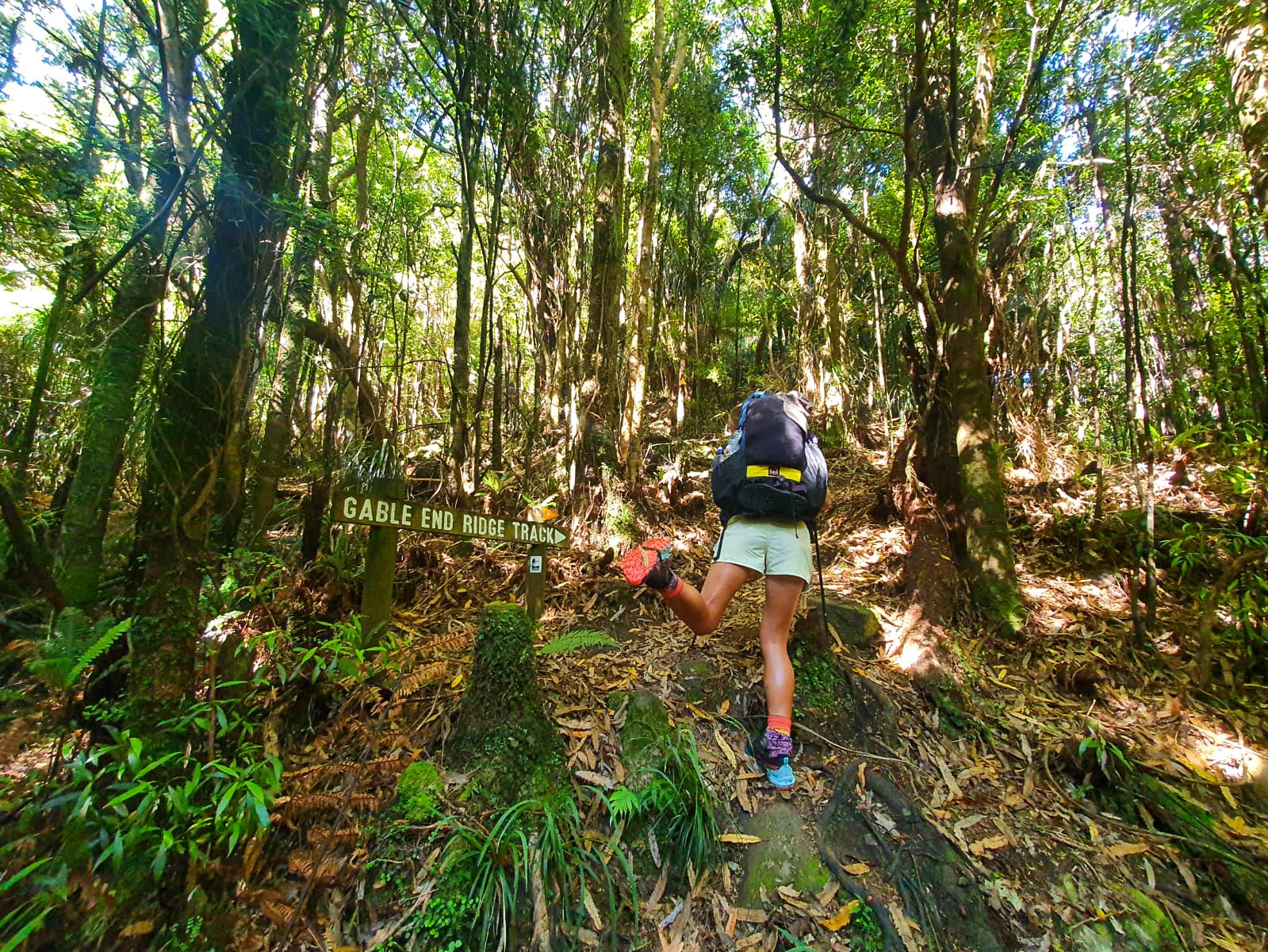
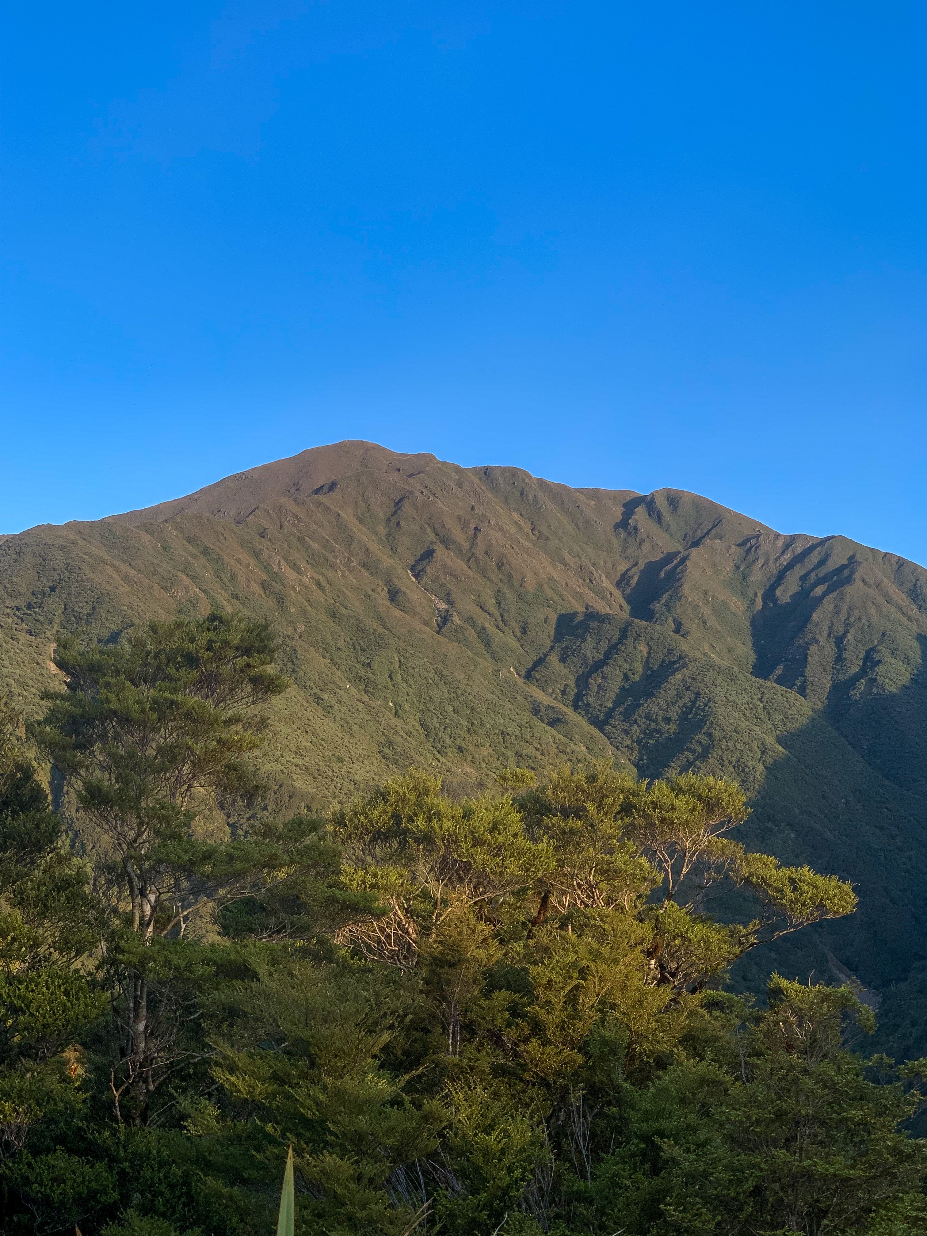
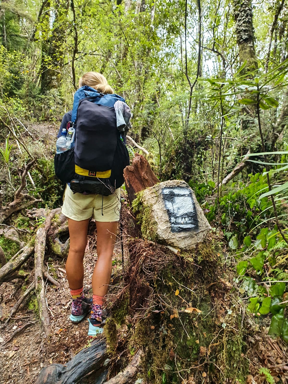
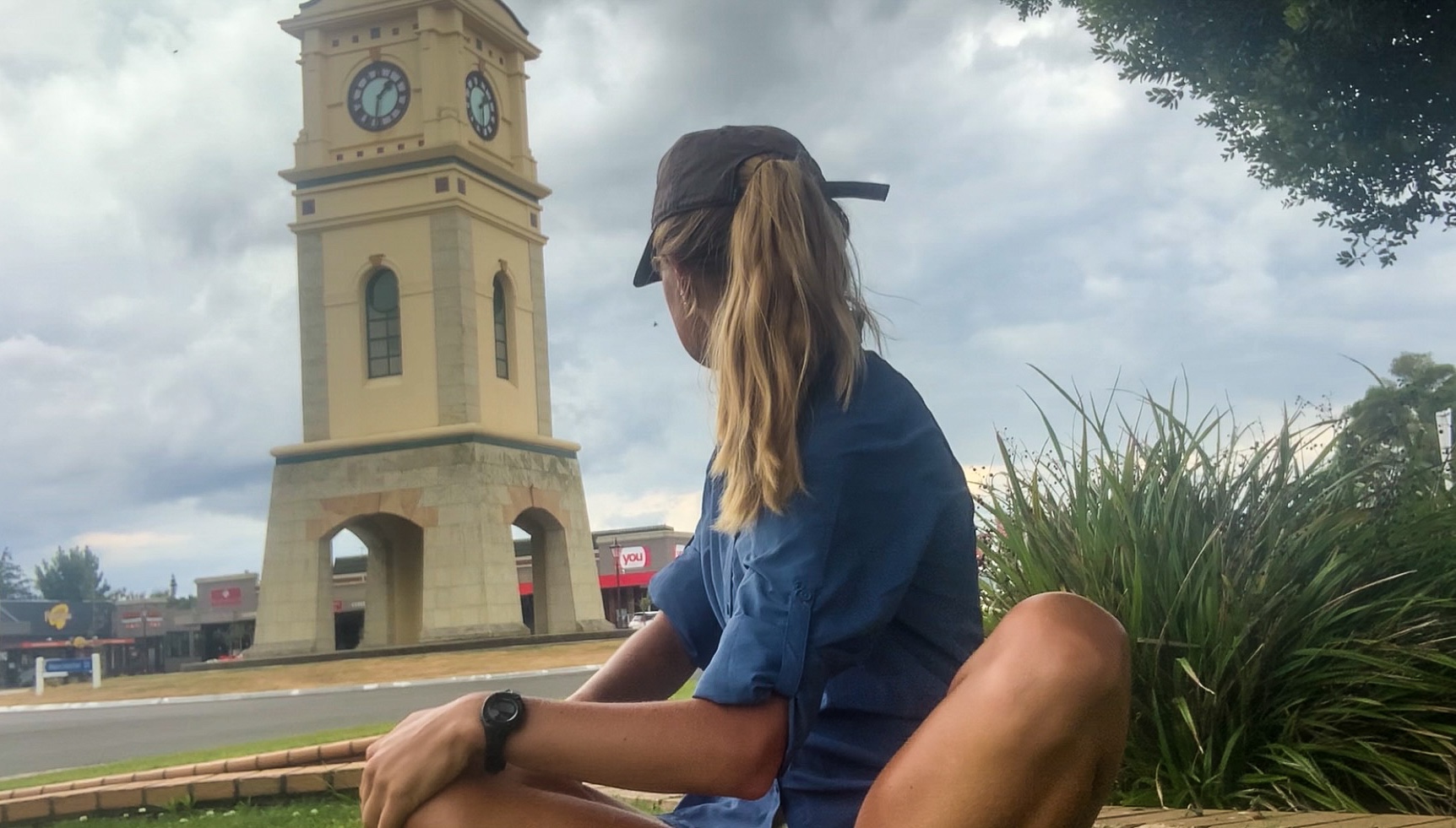
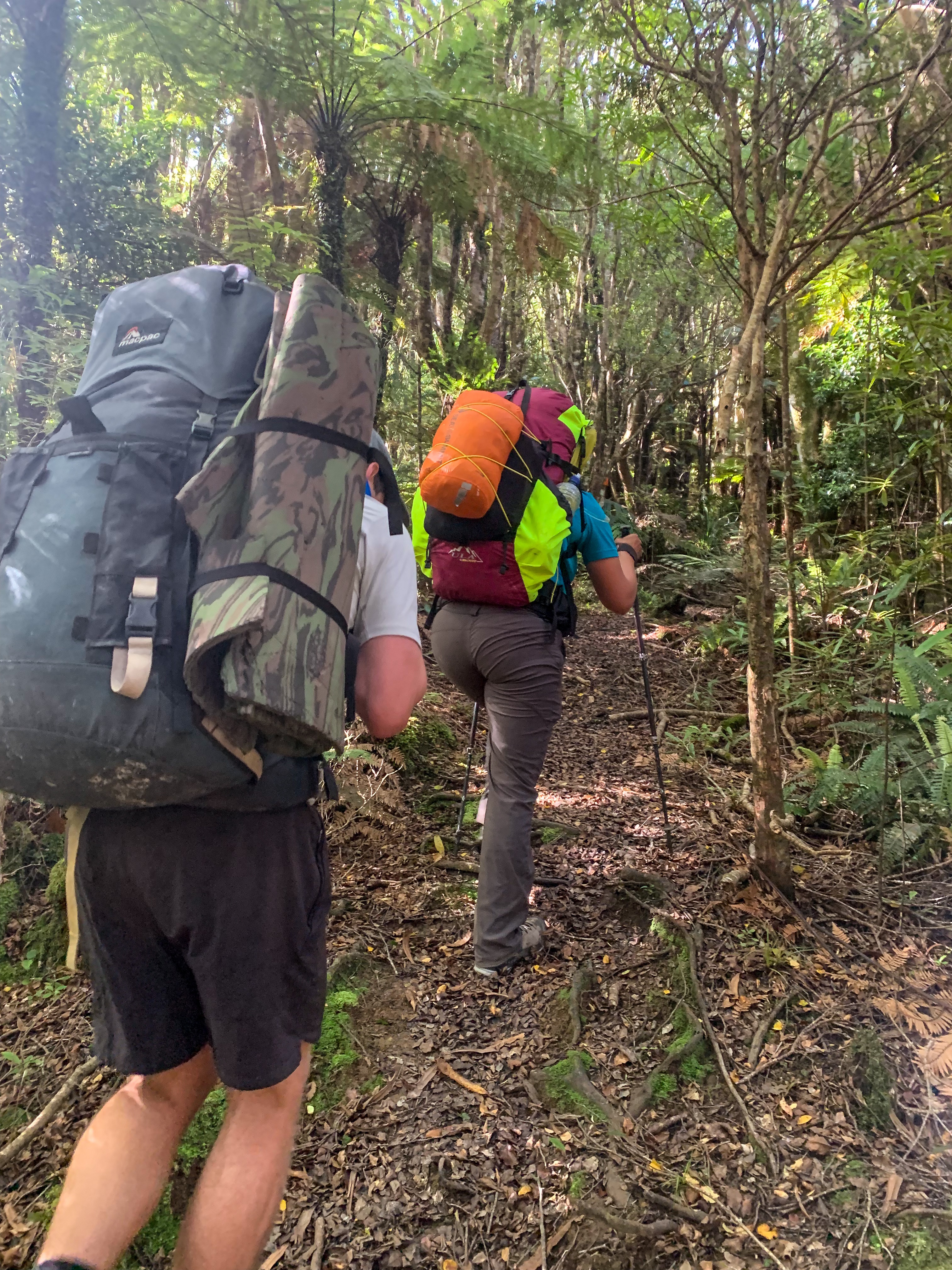
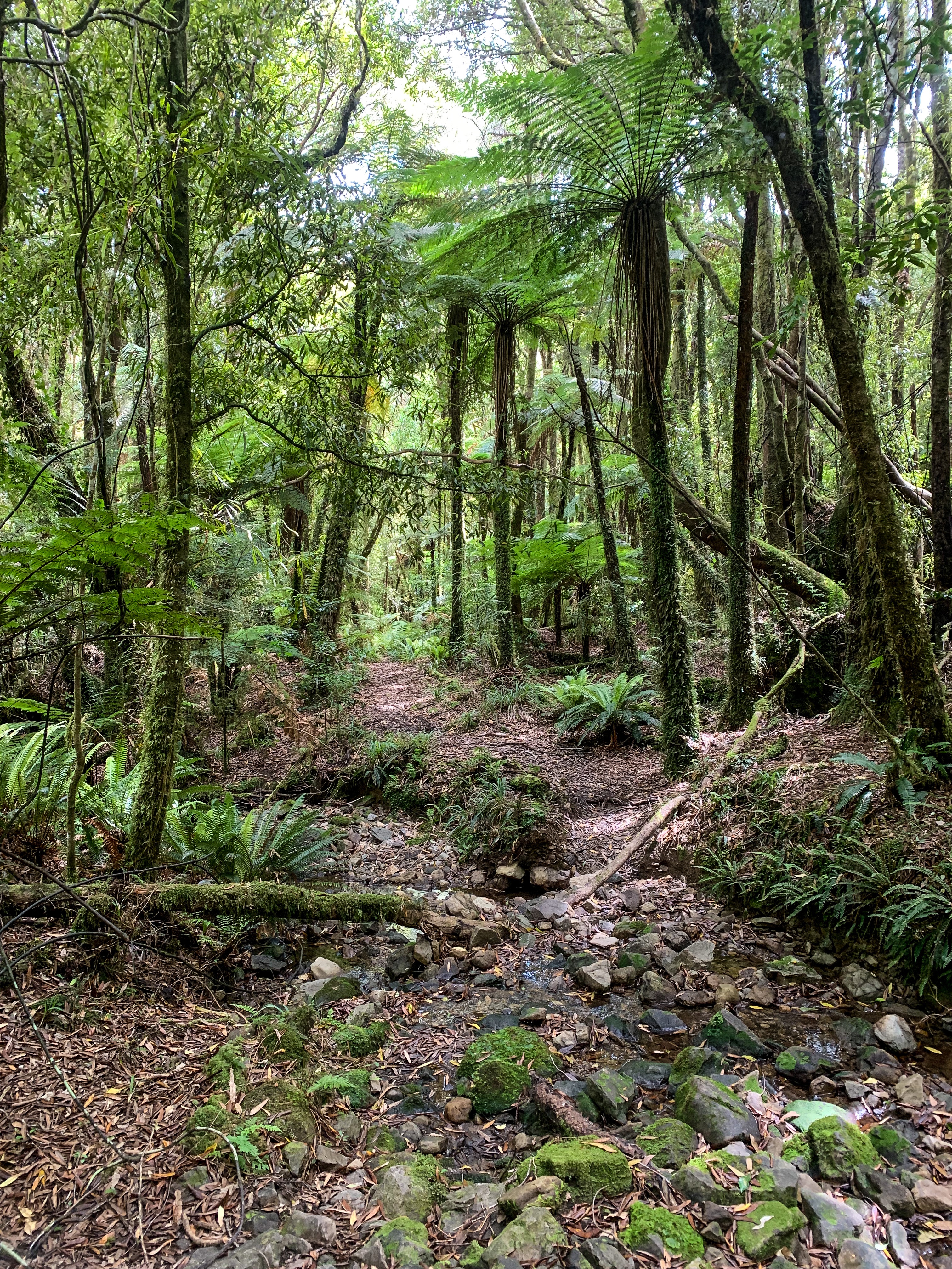
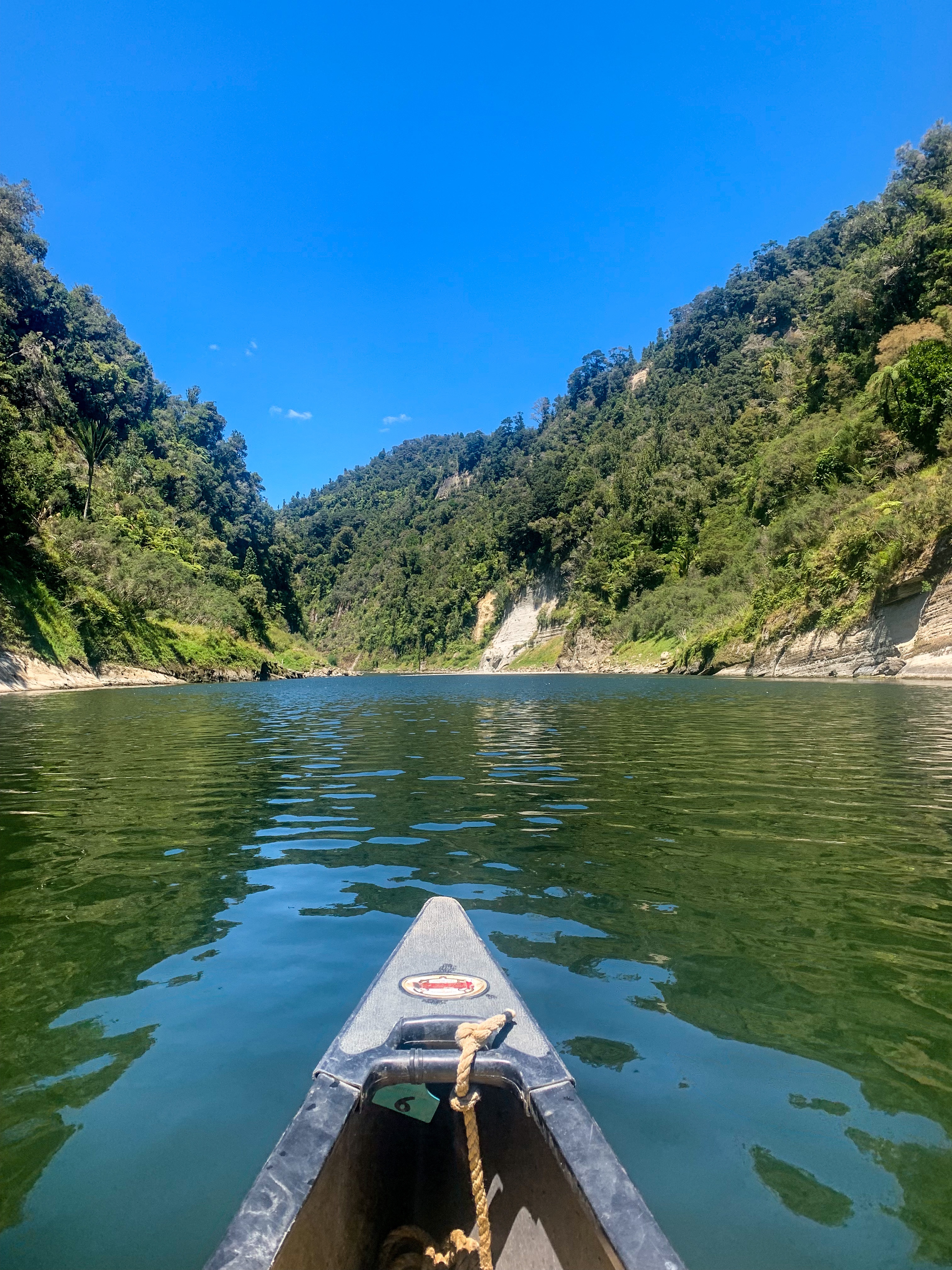
The trot from Bealey meant we were leaving the gorgeous Arthurs Pass behind and sadly back along a state highway, this time as we headed into Craigieburn Forest Park.

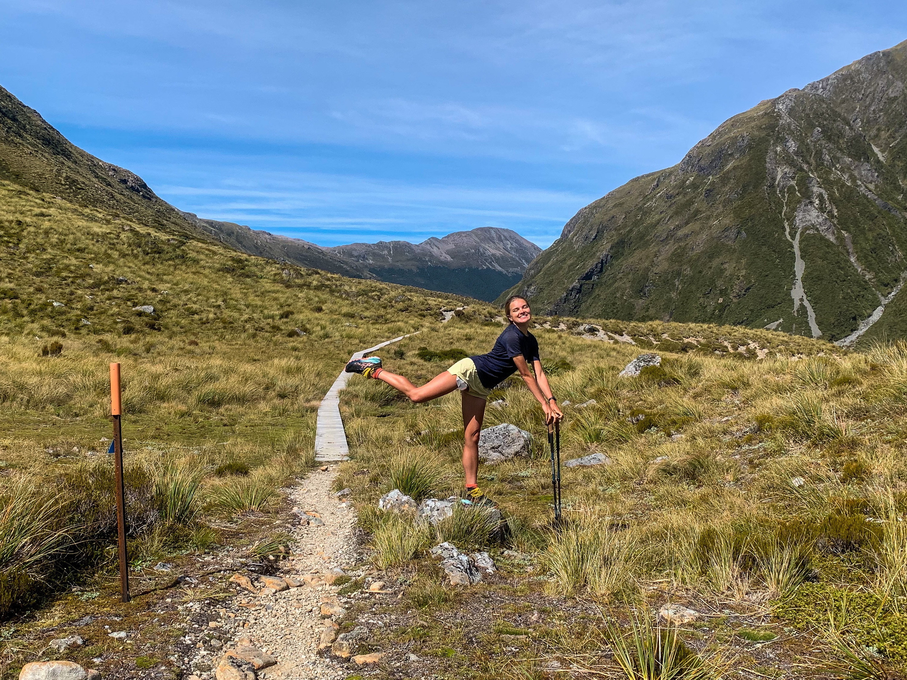
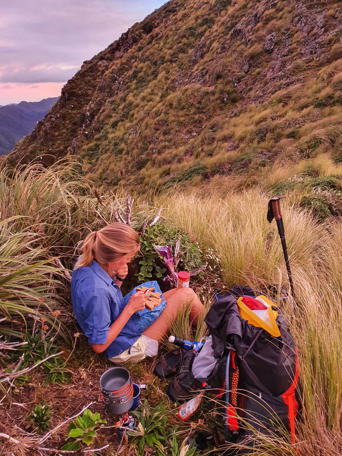
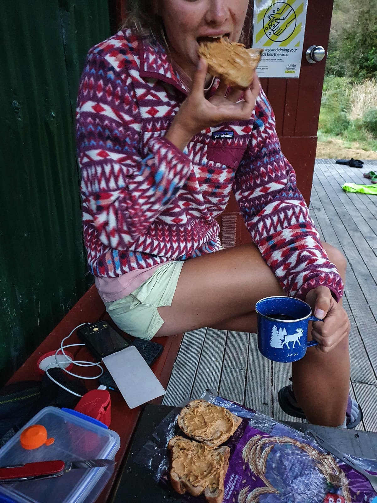
After a sweaty, steady climb around Mt Bruce we headed up over Lagoon Saddle where we stopped for lunch and were greeted with a delightful surprise. No sandflies! Outside lunches… yay. 🙂

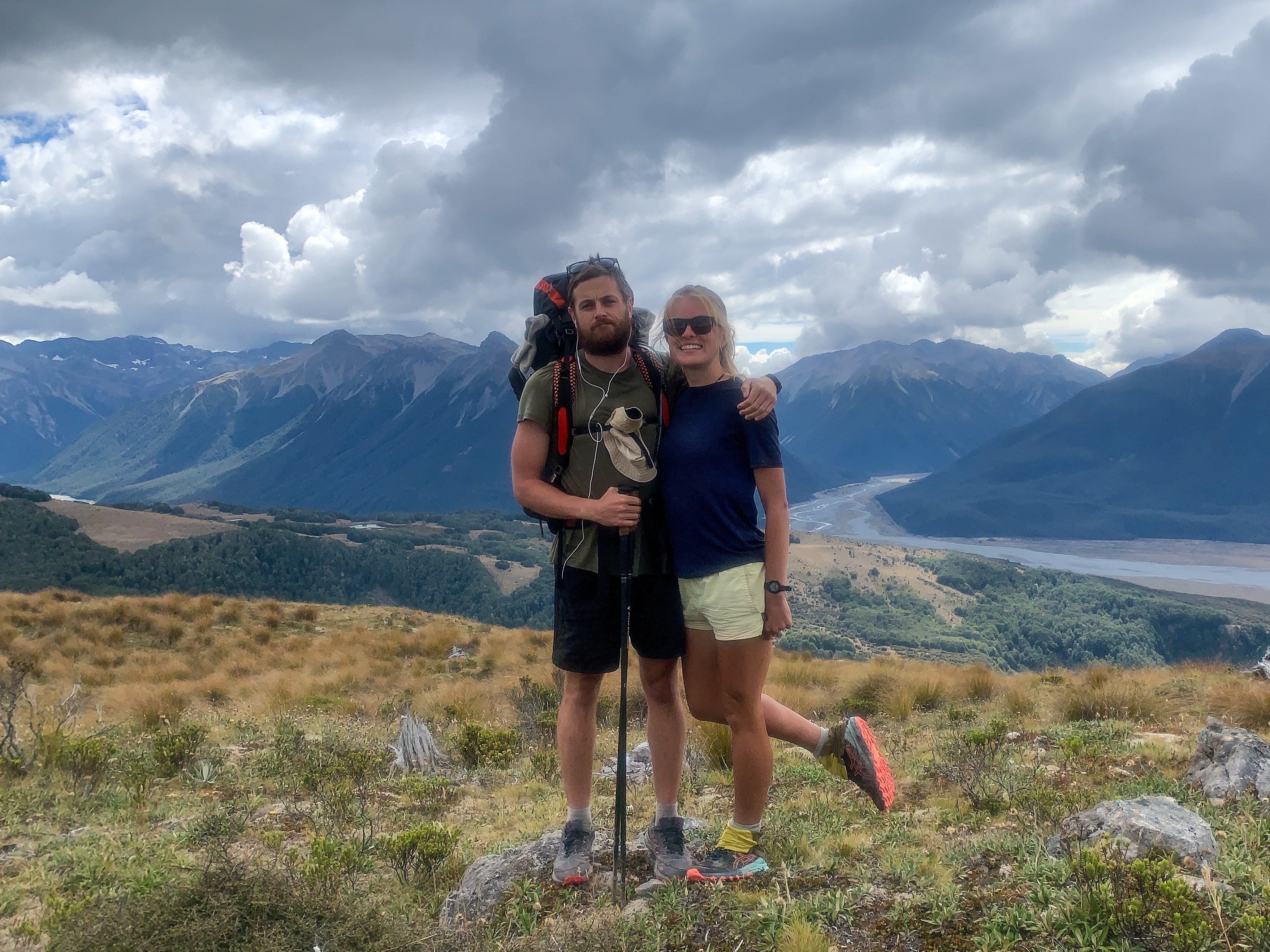

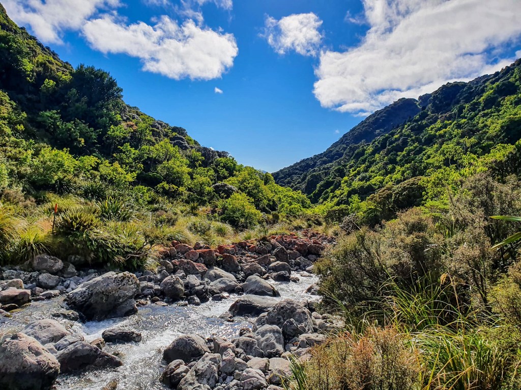
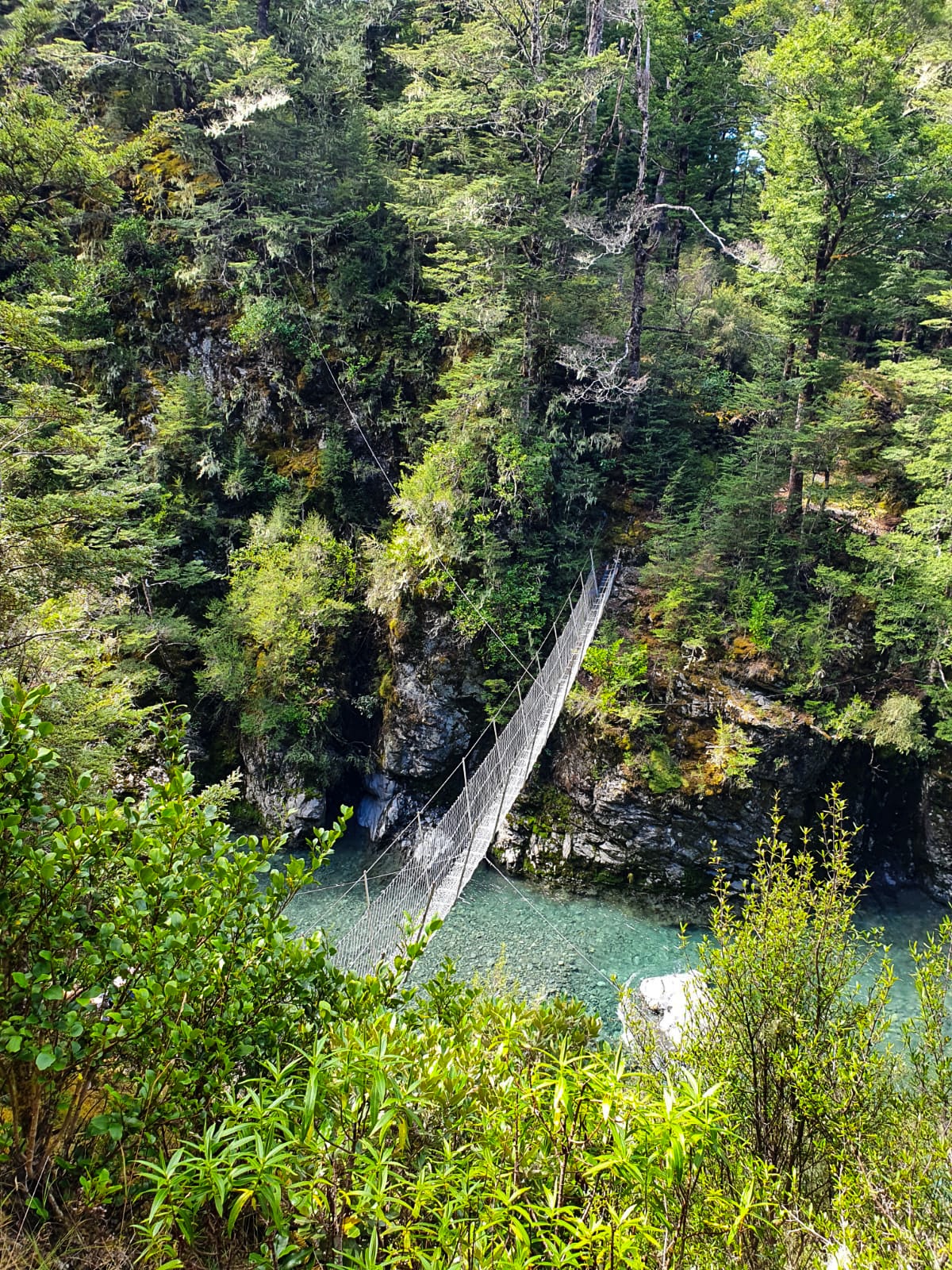
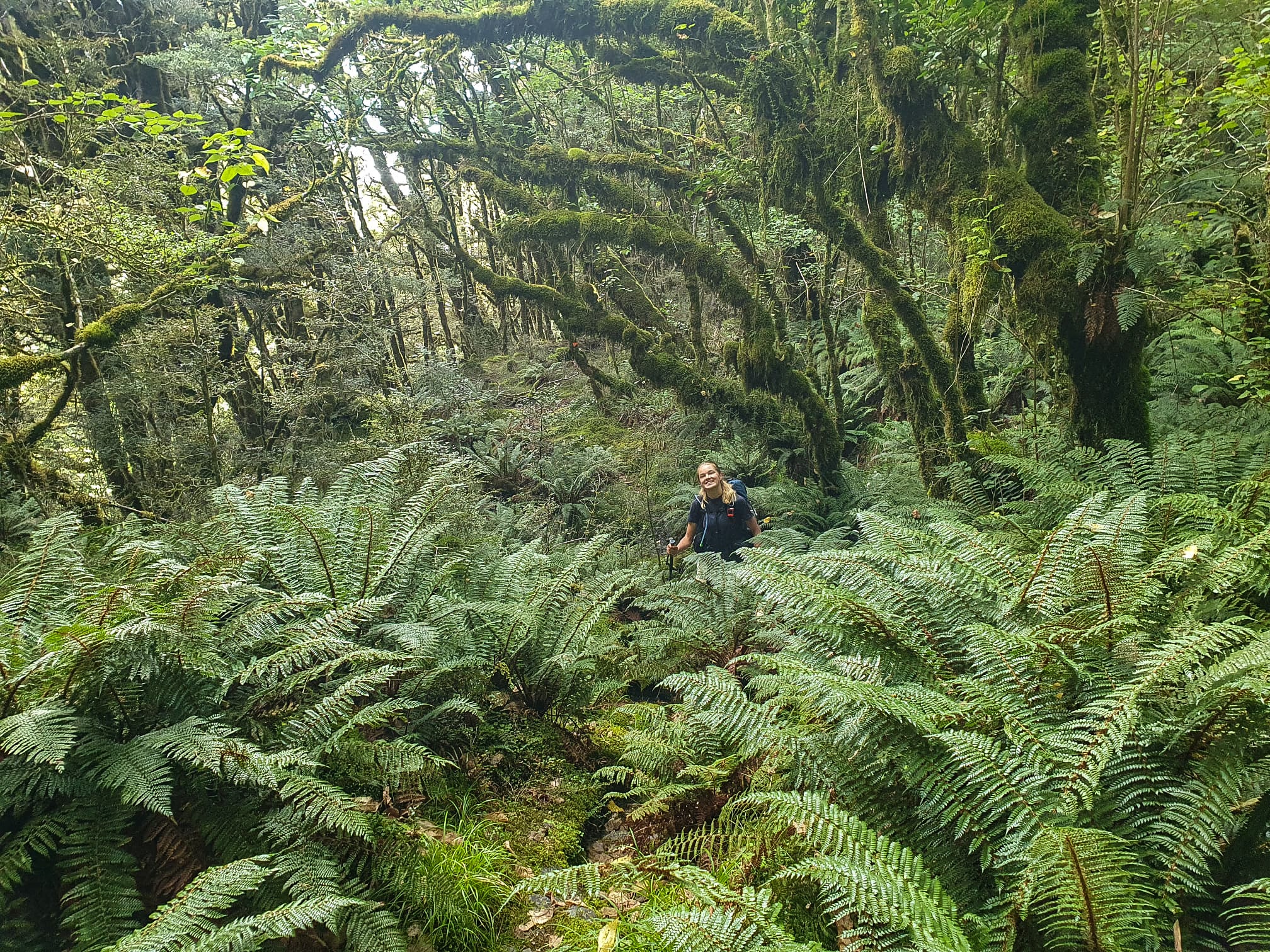
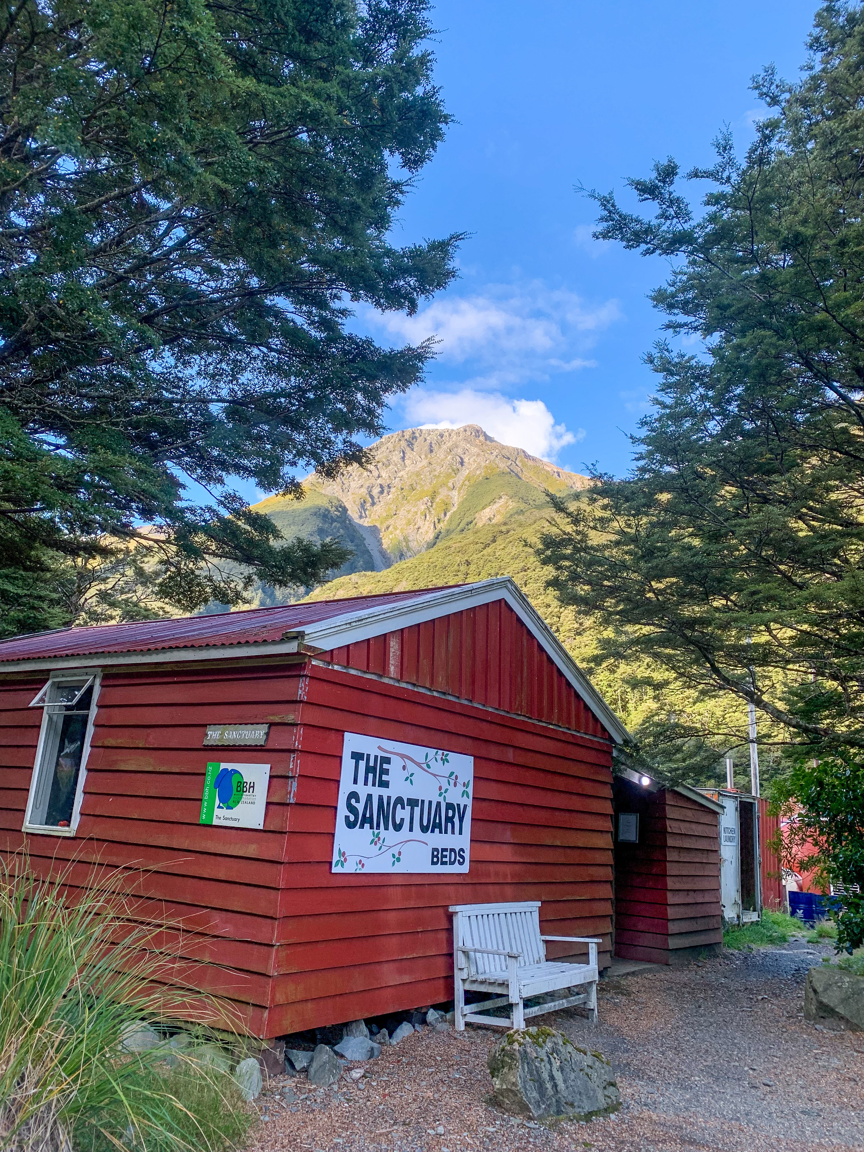
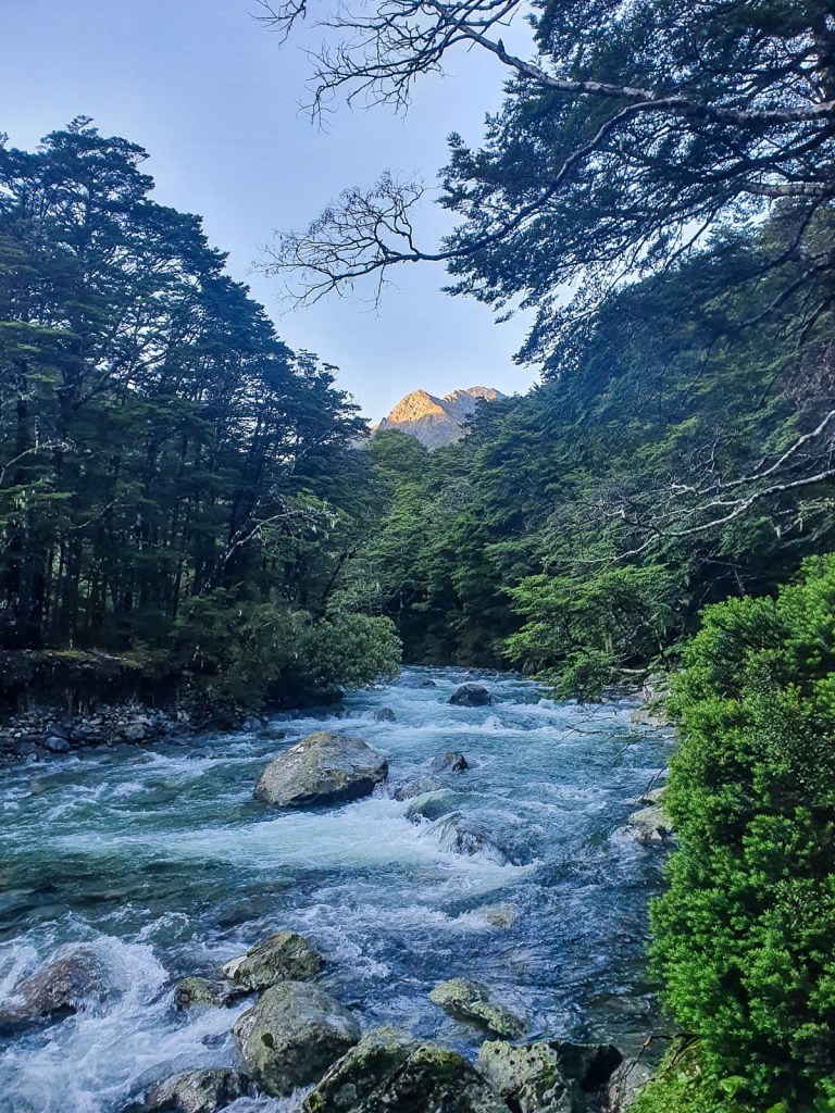
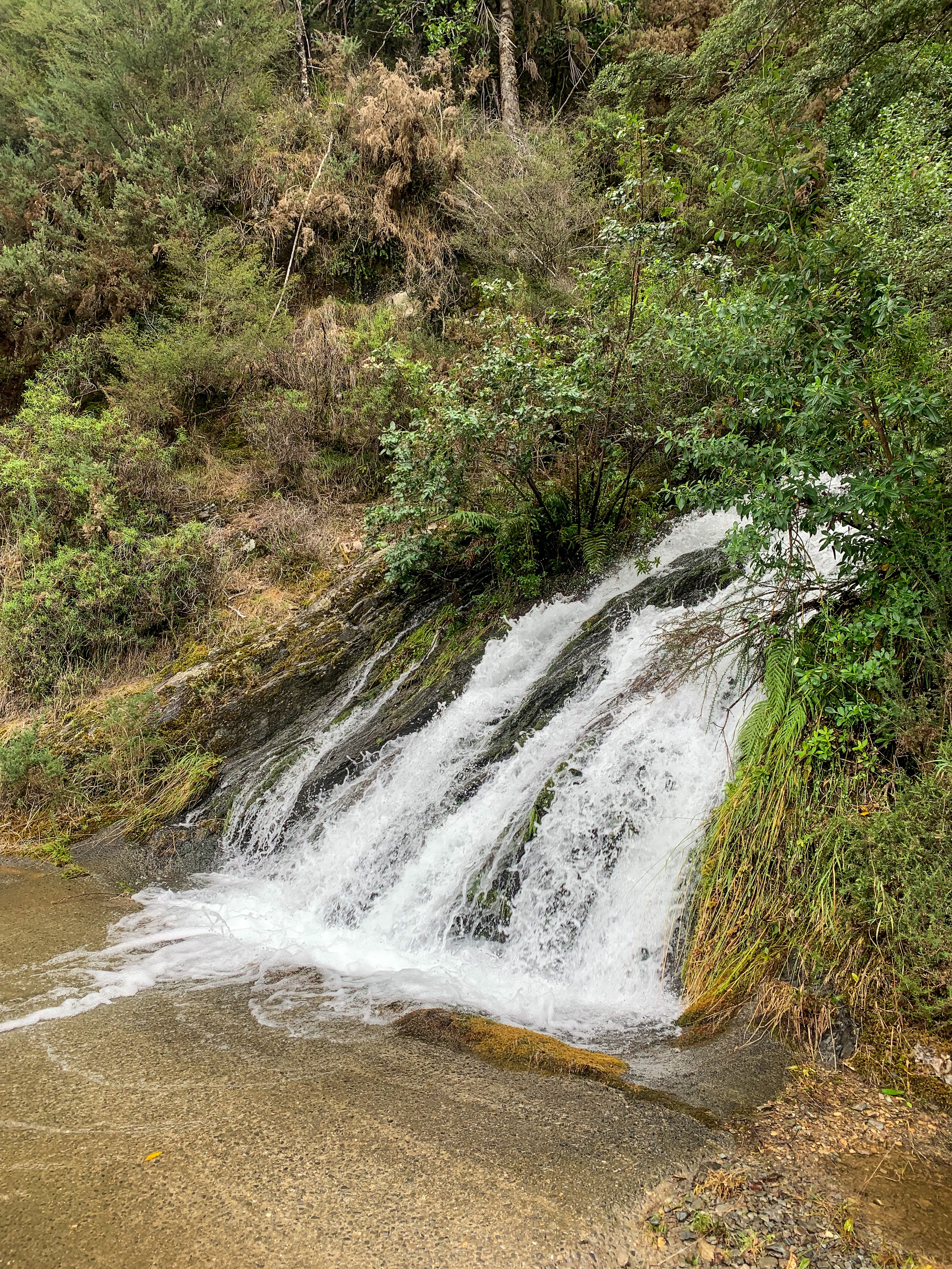
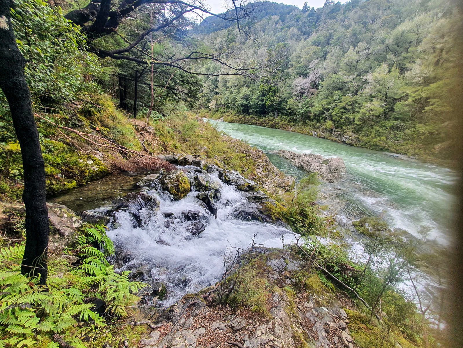
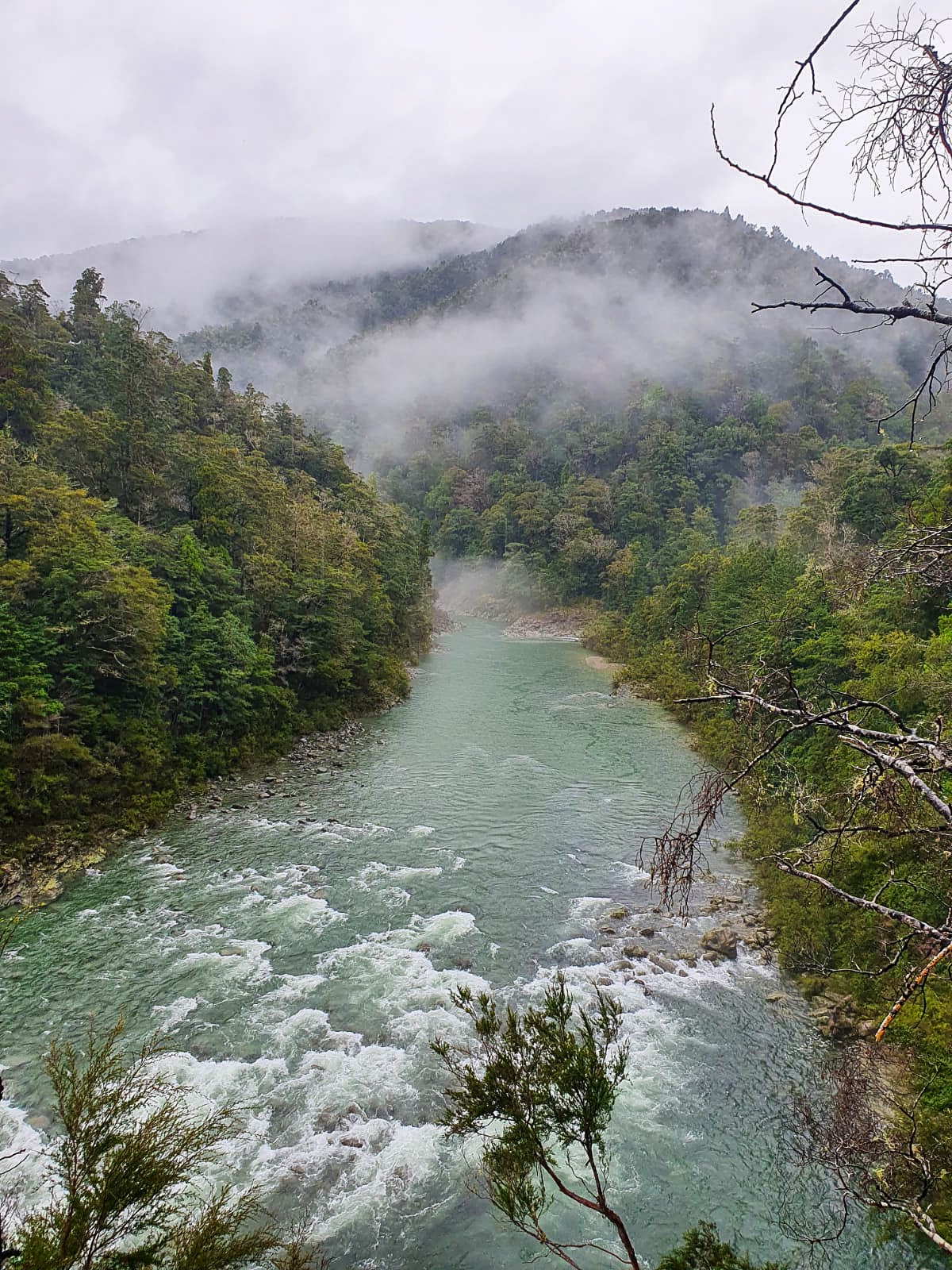
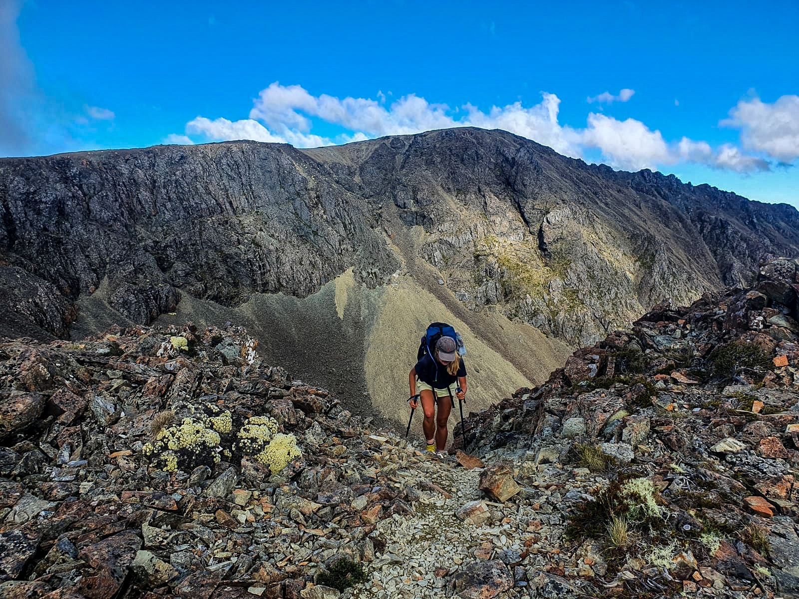
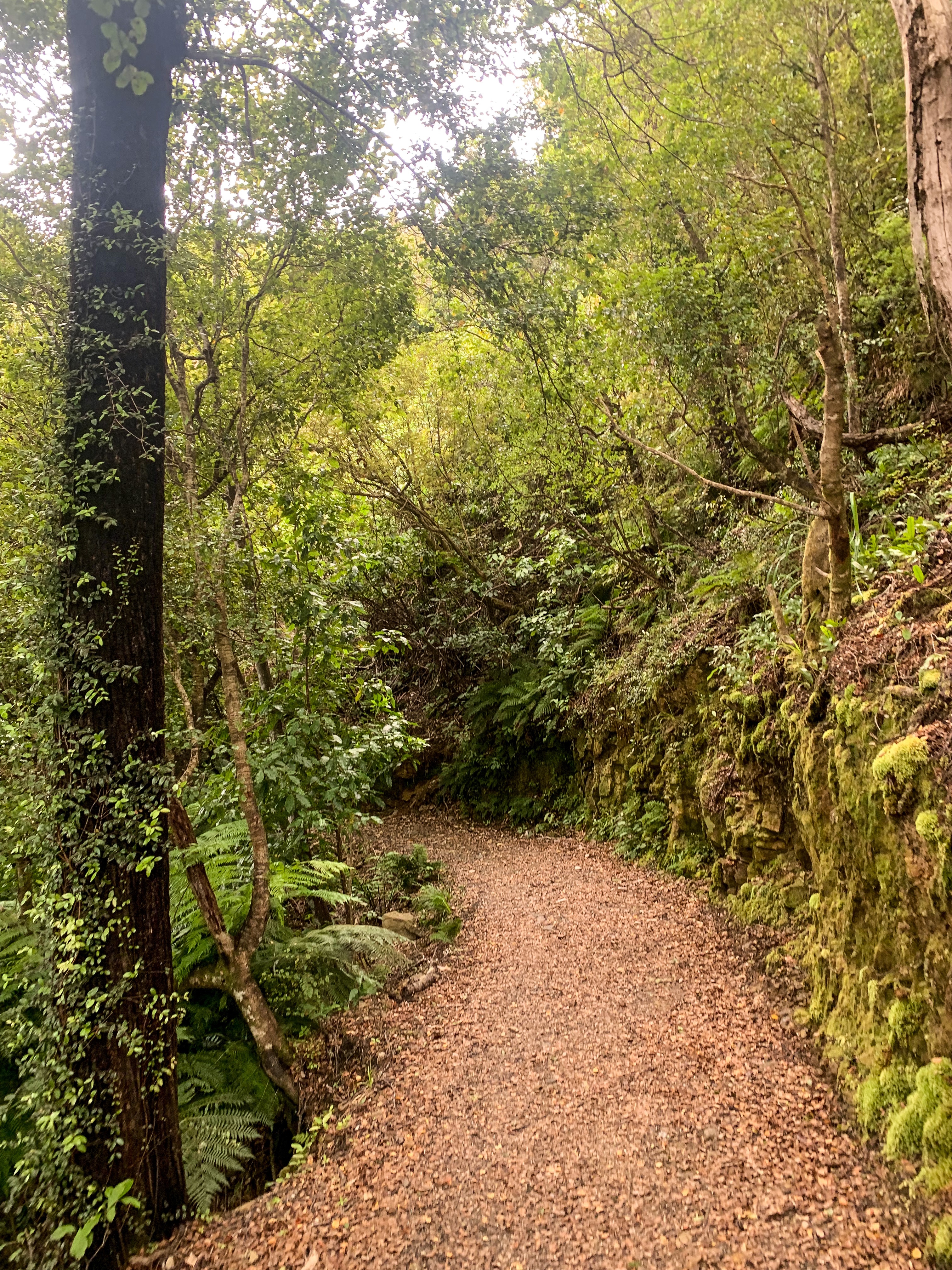
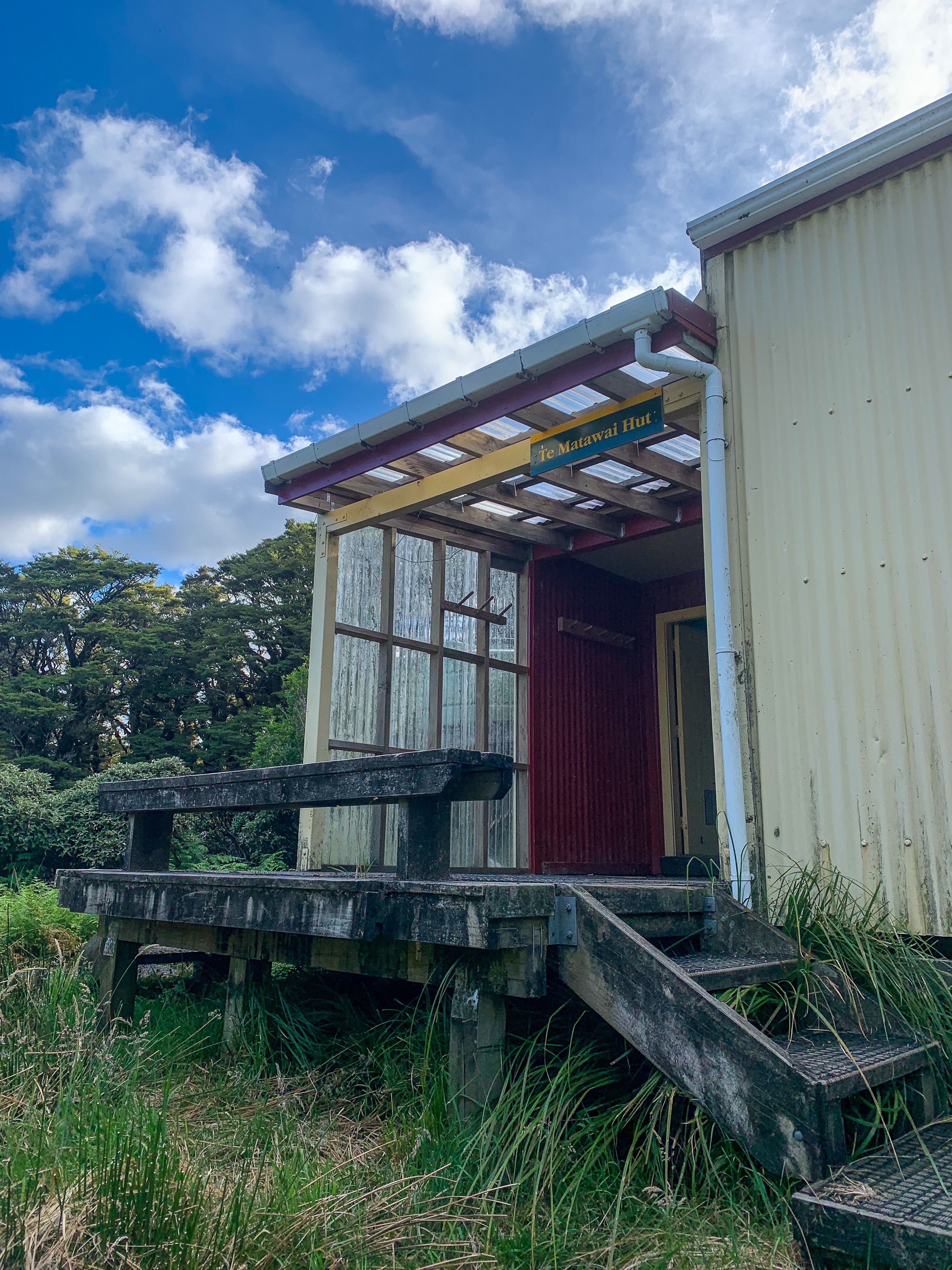
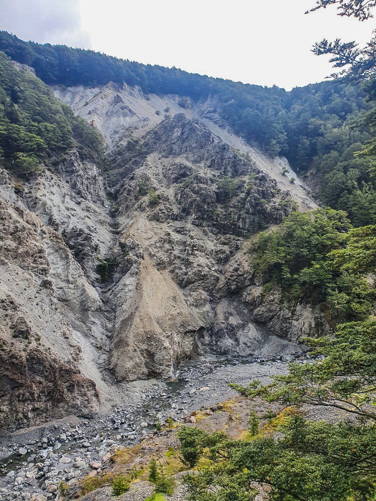
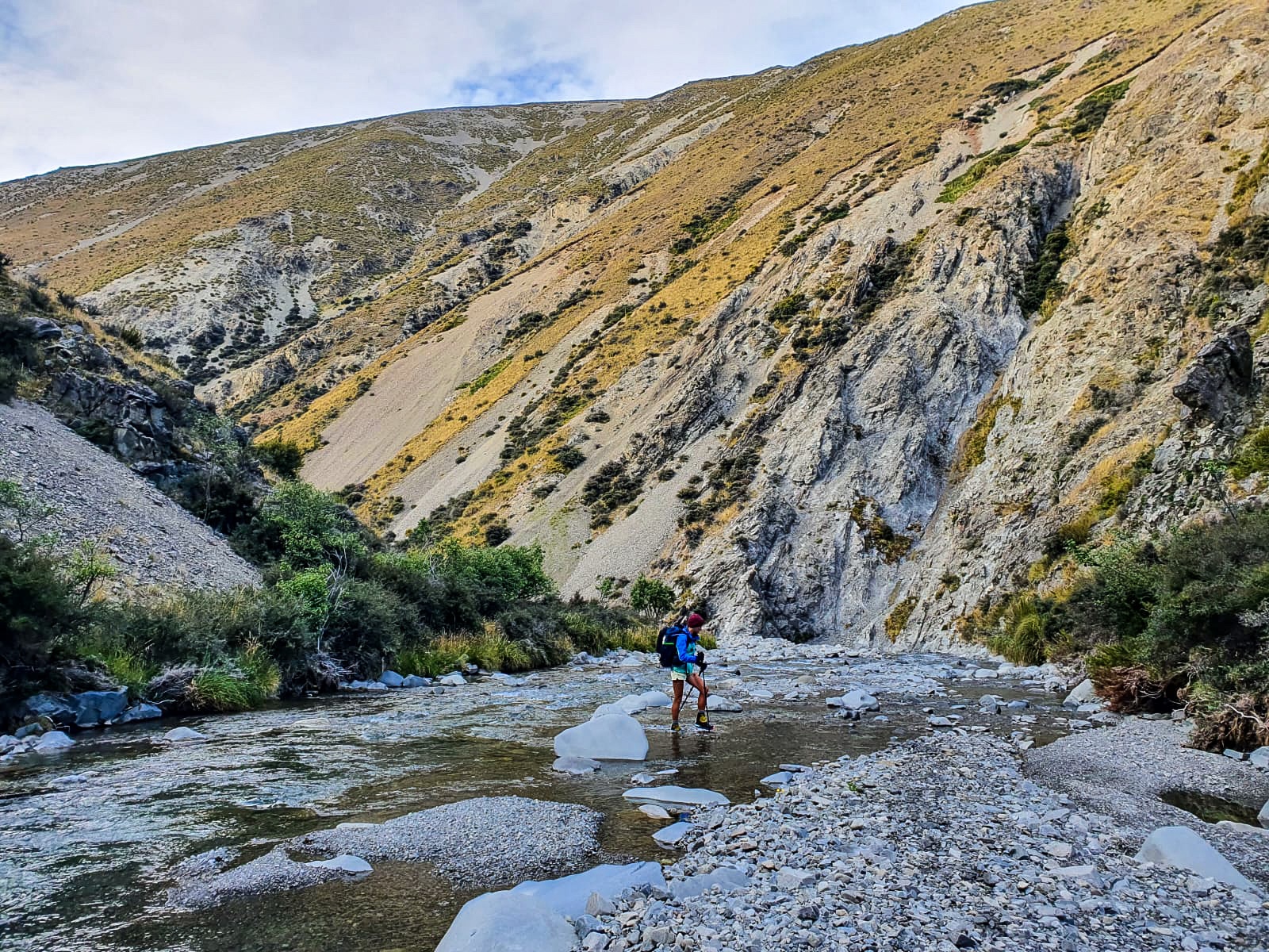
Trotting alongside Harper River we followed a severely washed out valley for many kilometres meaning rock hoping, river crossings and many lost trail moments before making it to Hamilton Hut. I was very grateful for the long, hot days walk to be over and ecstatic to take off the pack. One day without a pack and I became a weakling haha.

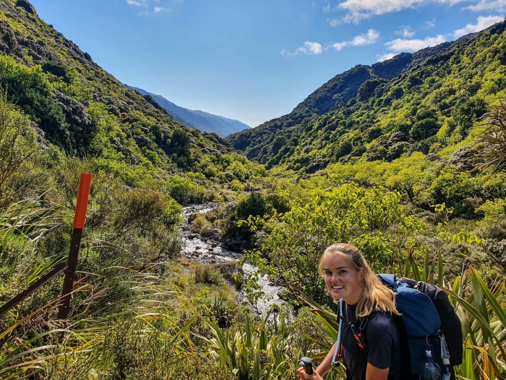
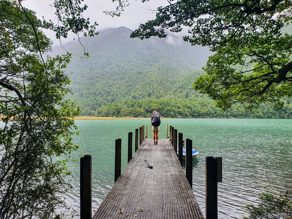
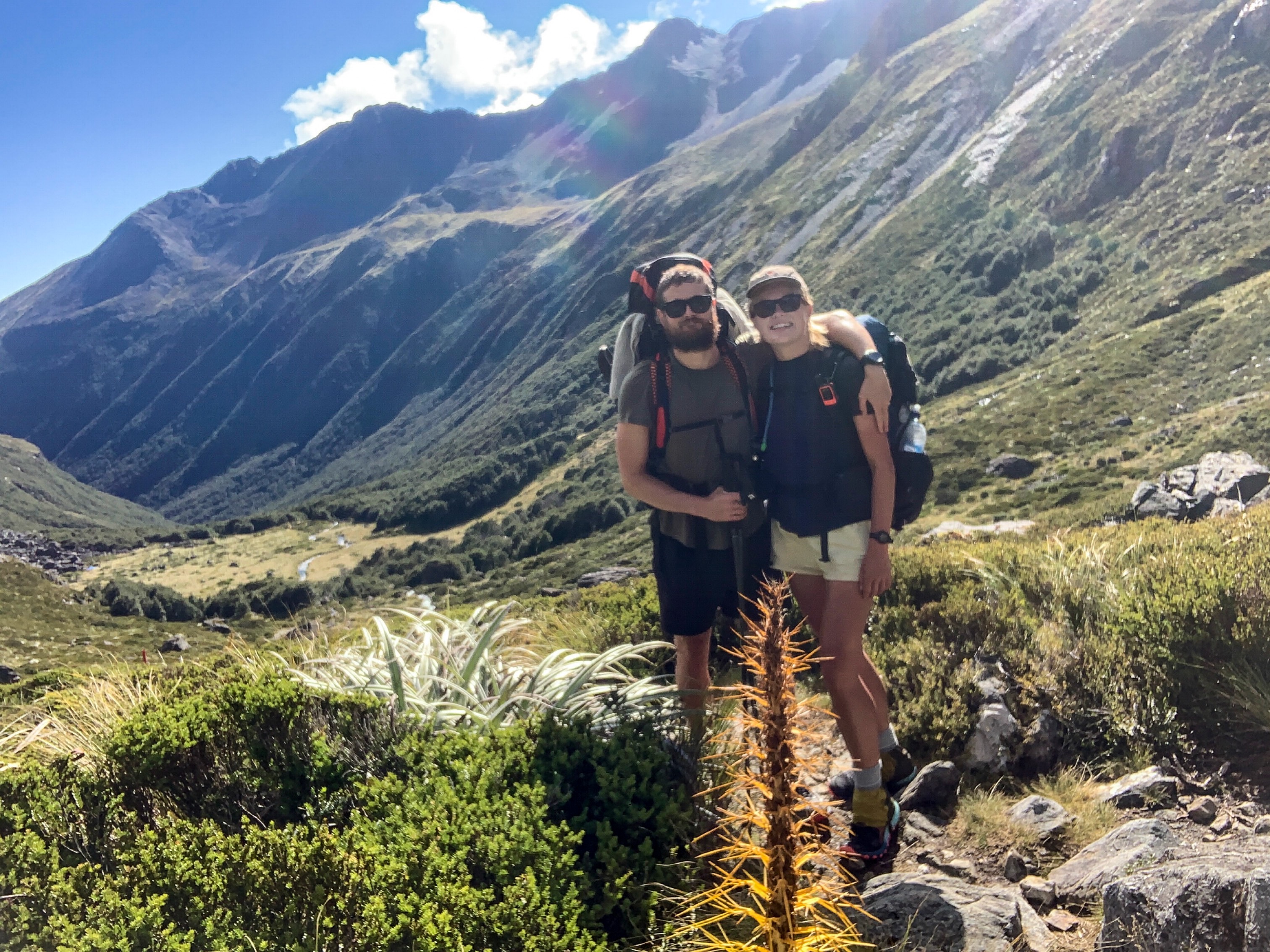
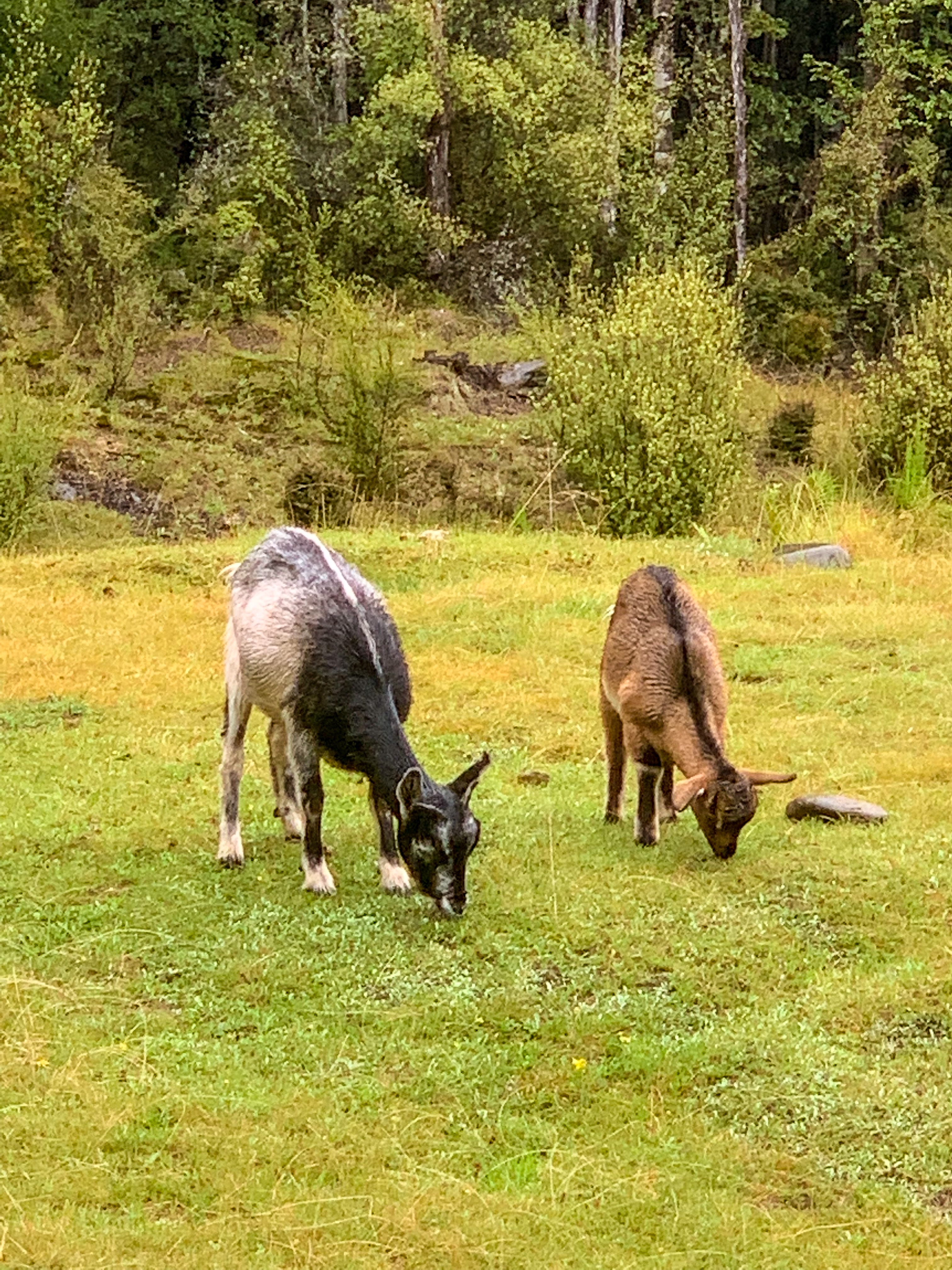
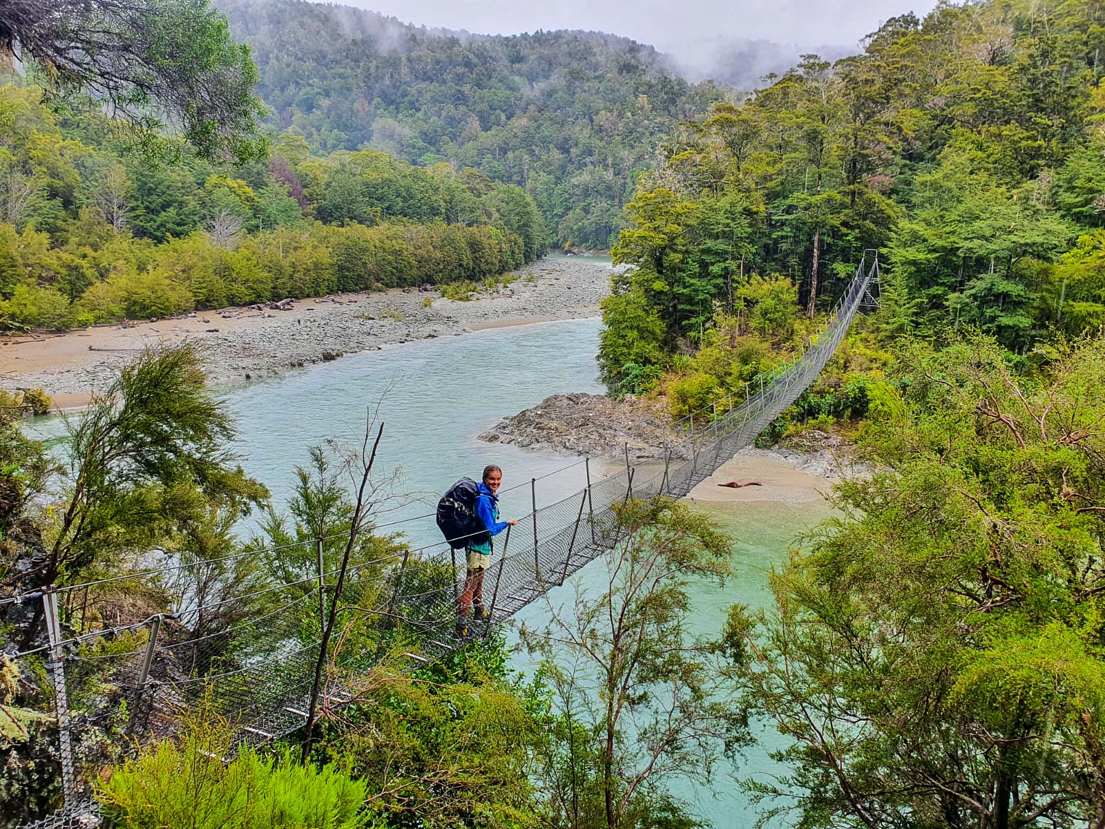
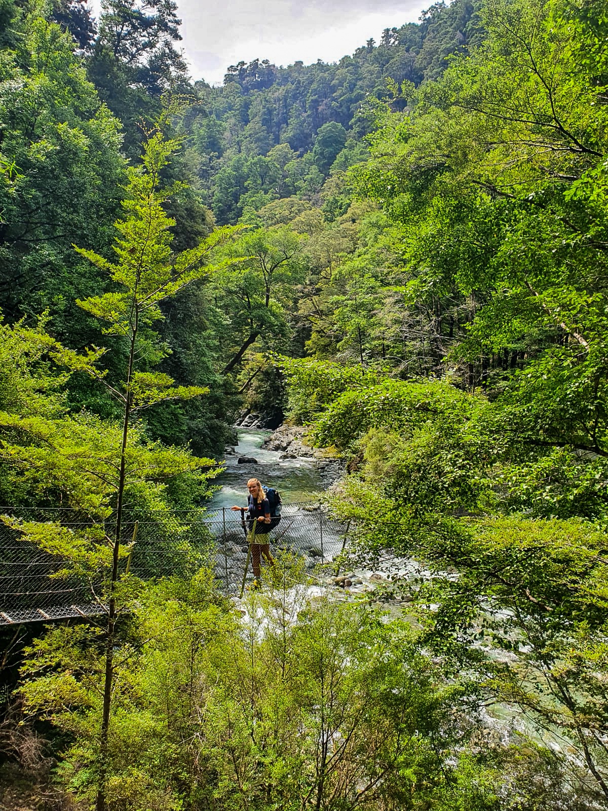
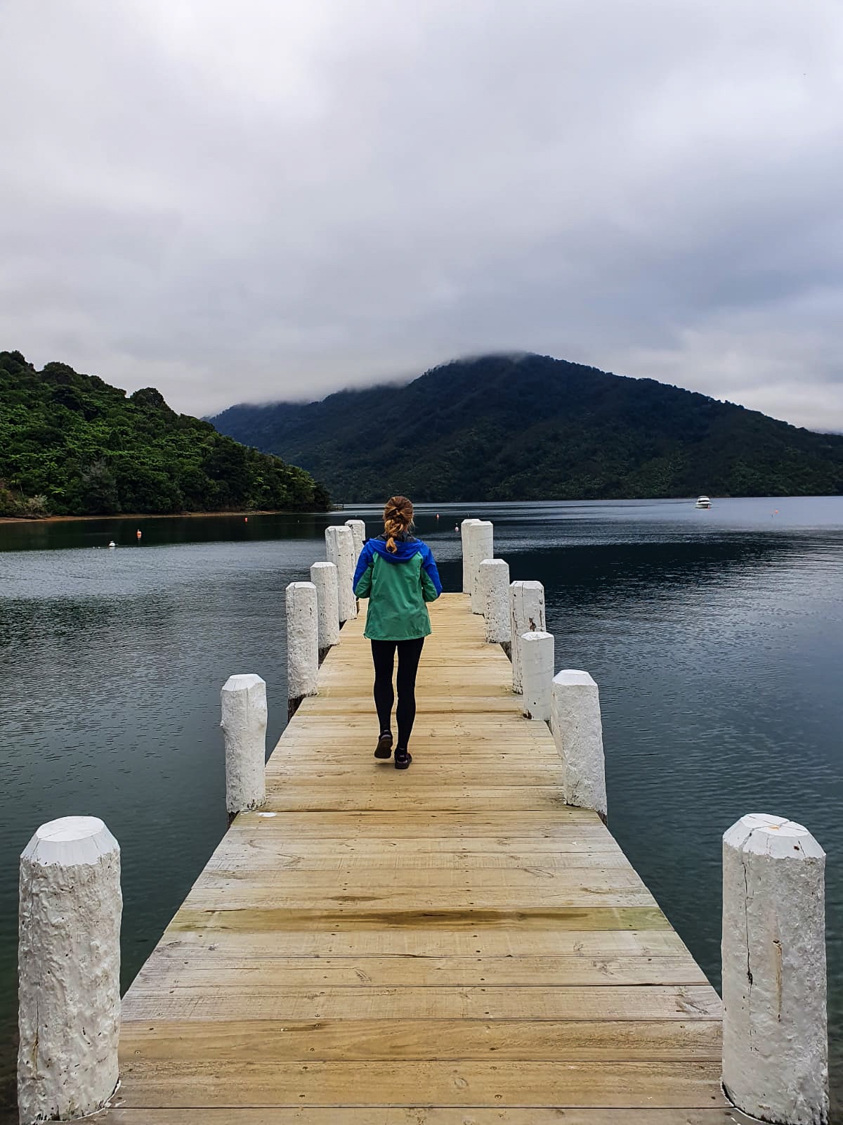
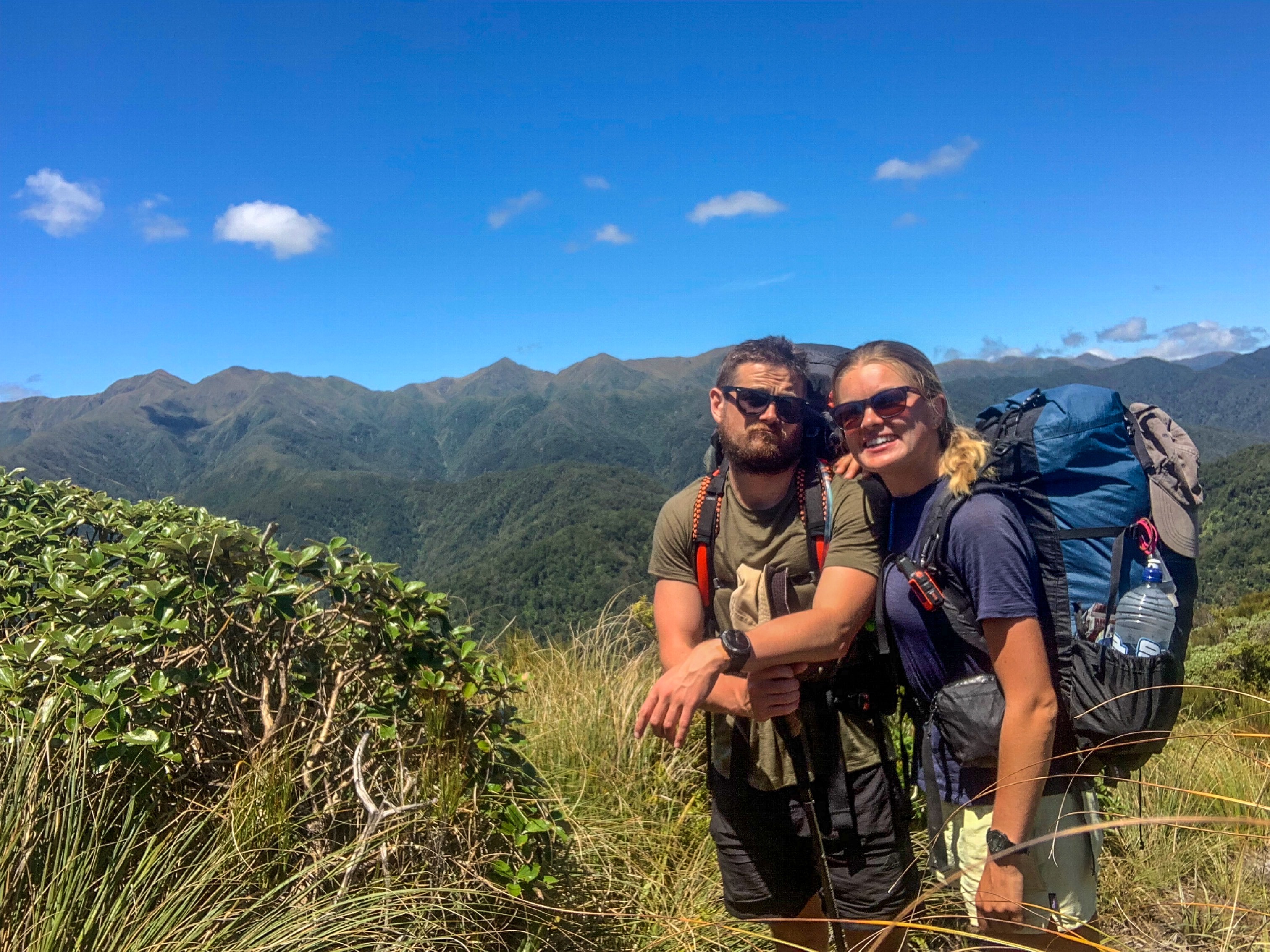
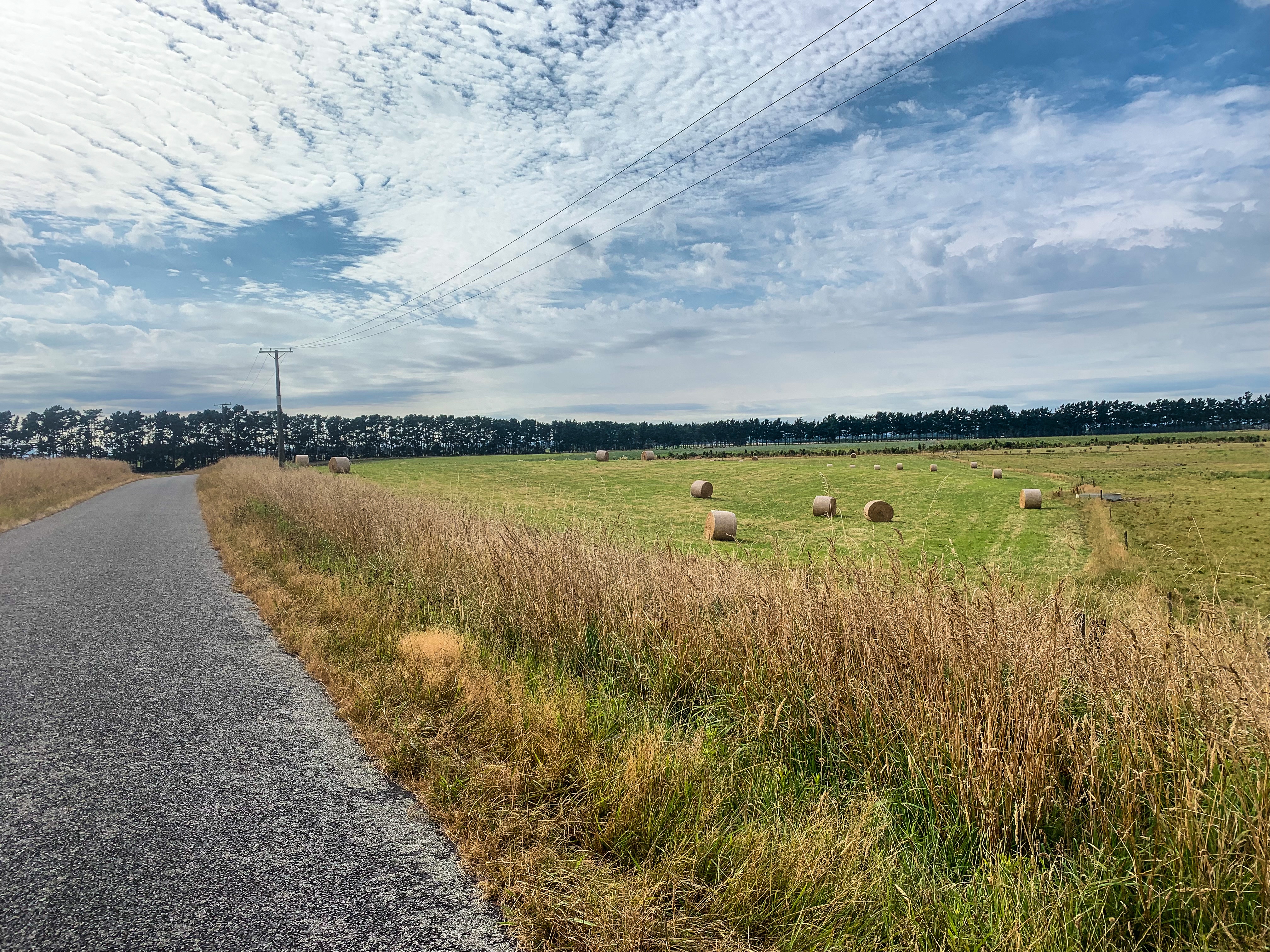
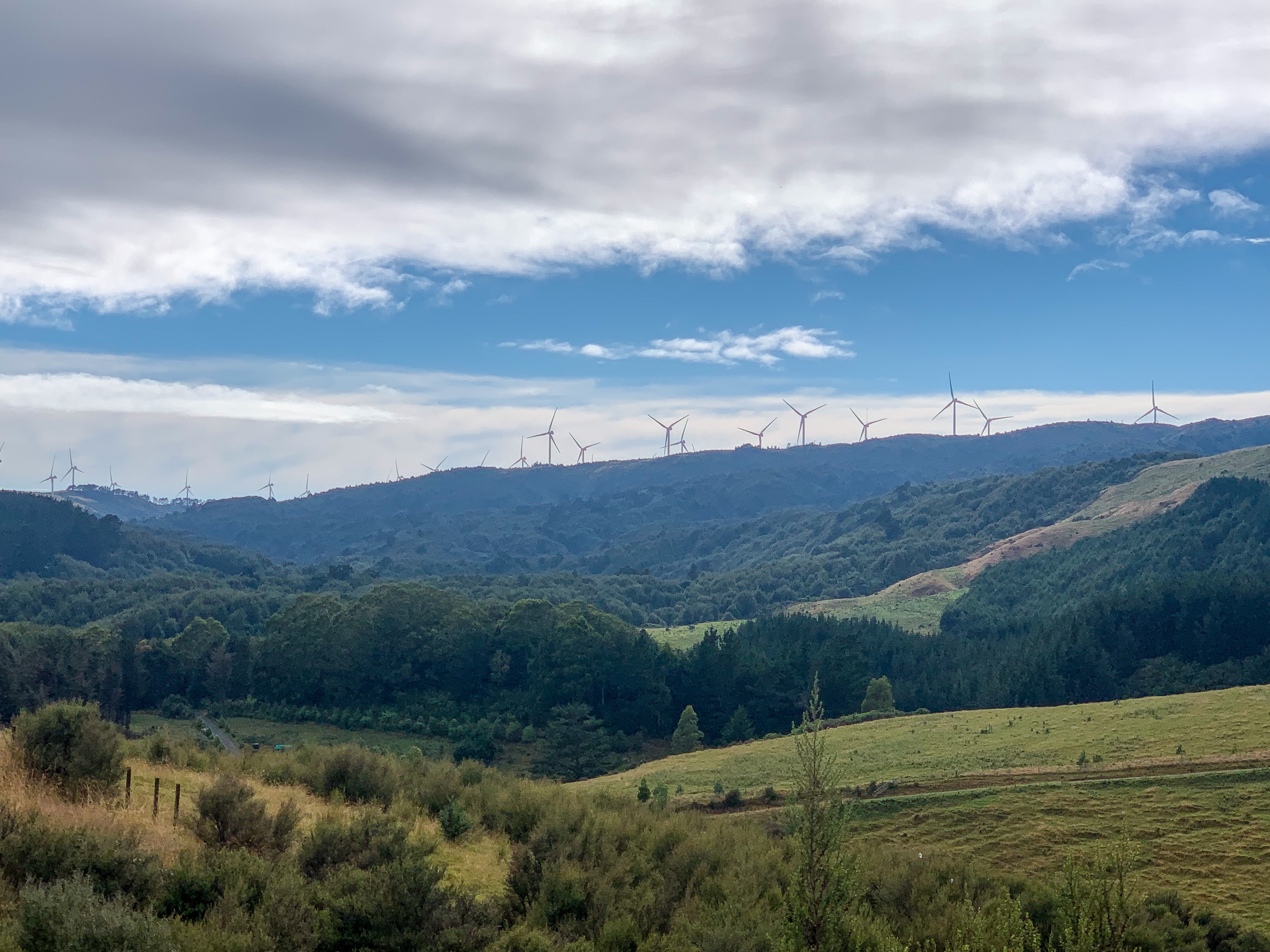
The next day involved a little of everything; river crossings, farm track, lake sightings, mountain views, road walking and hitchhiking.
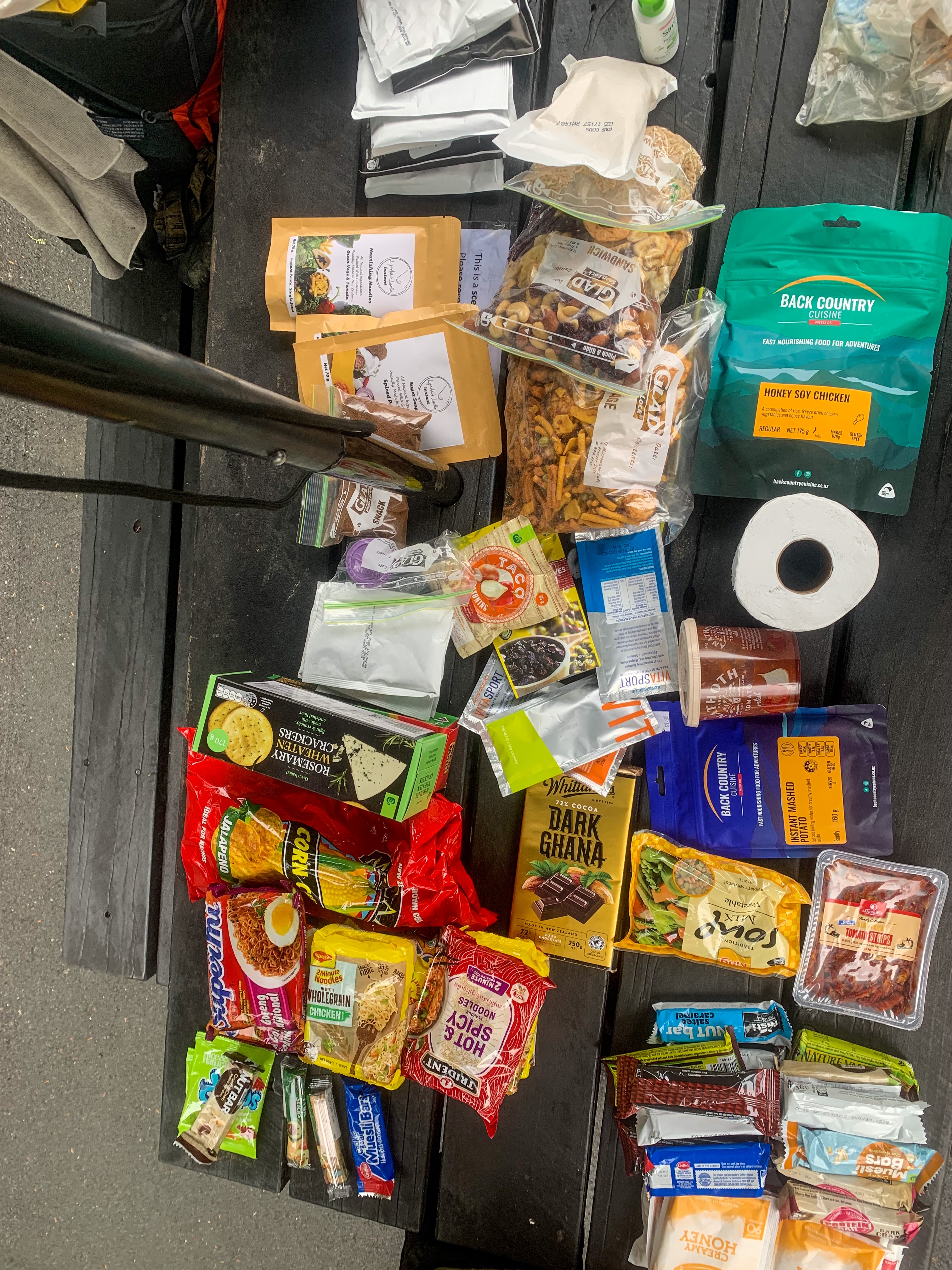
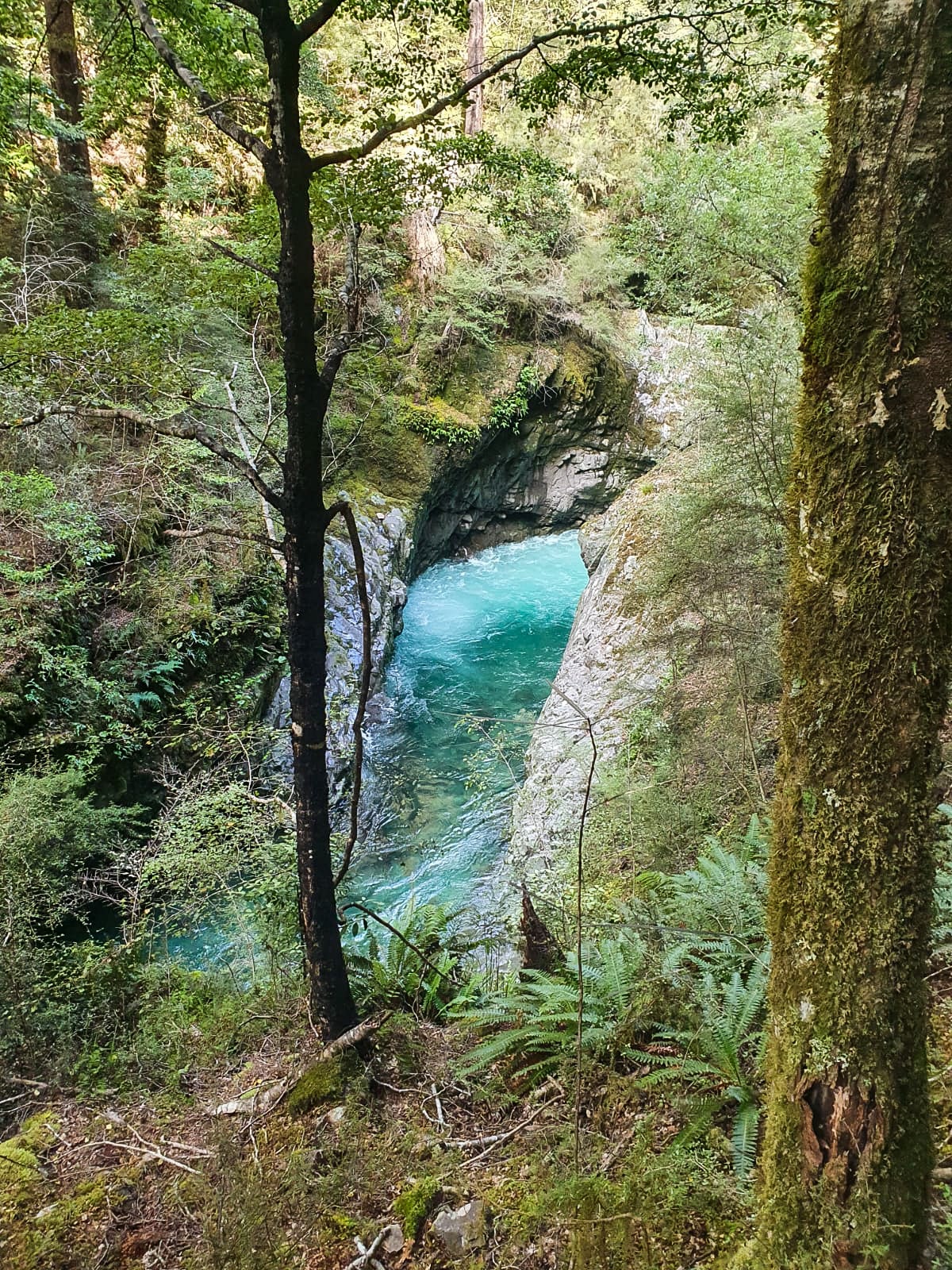
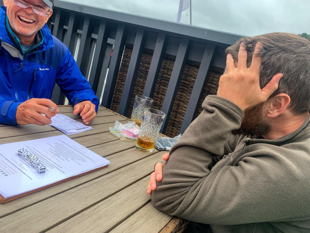
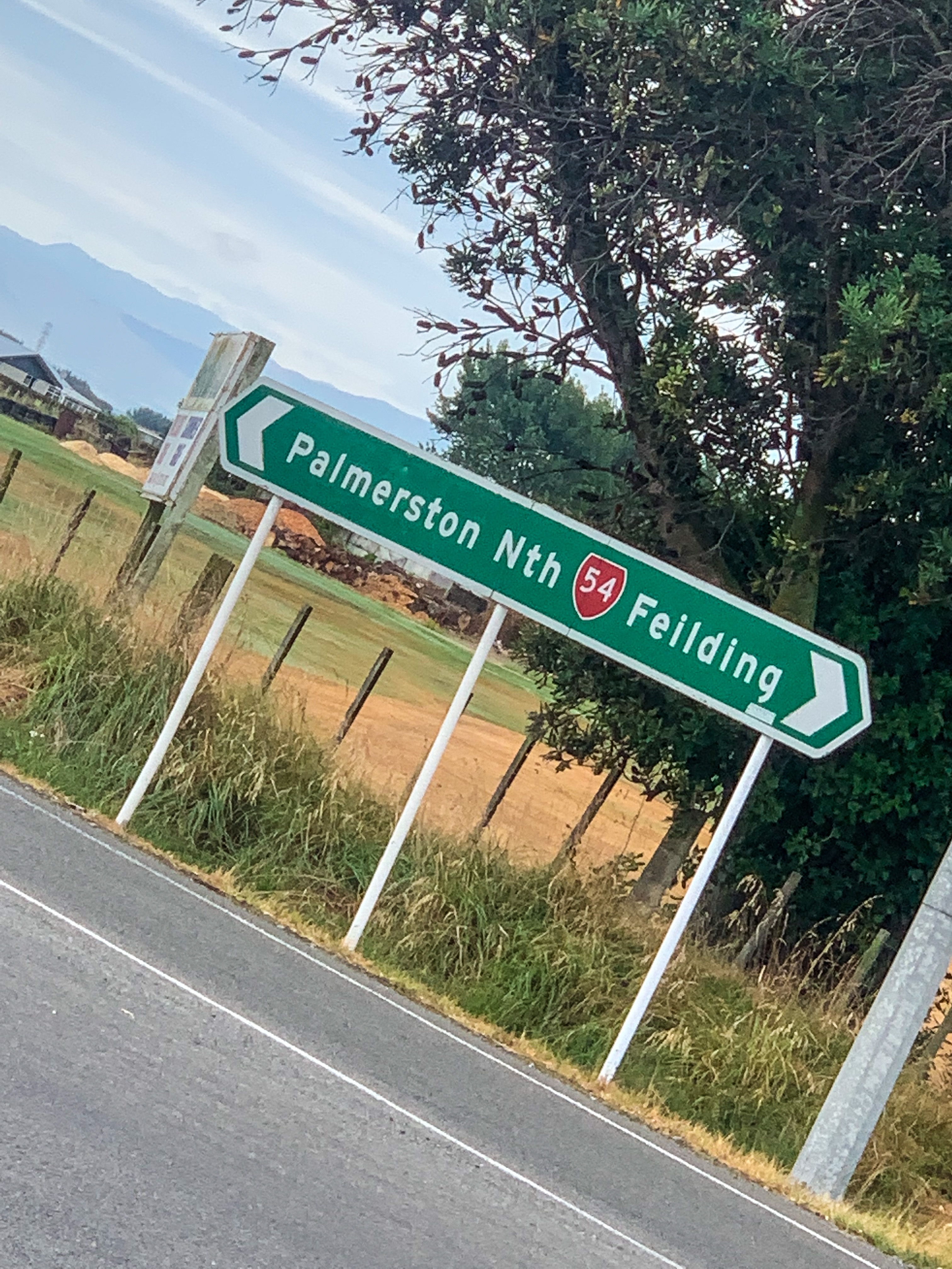
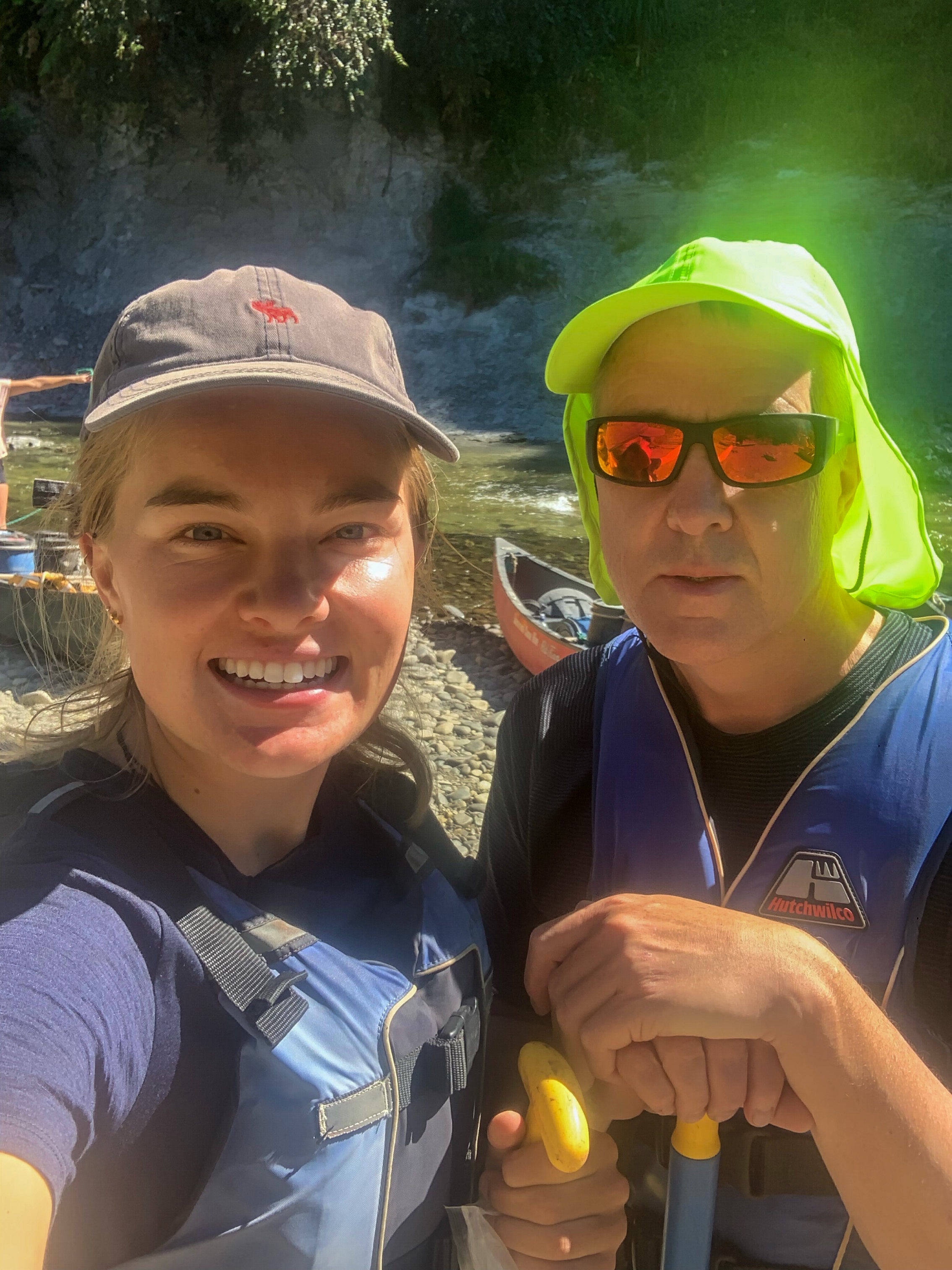
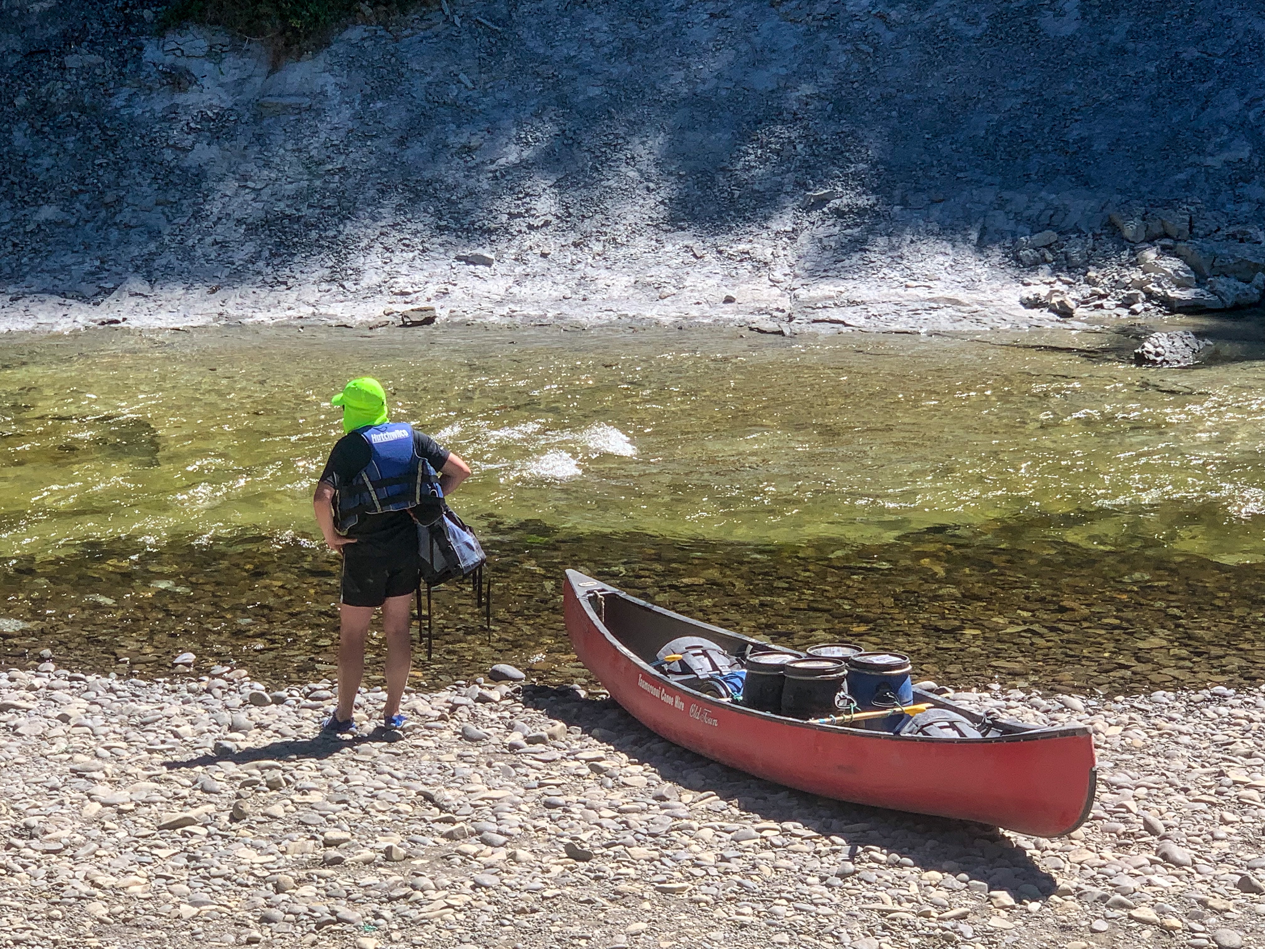
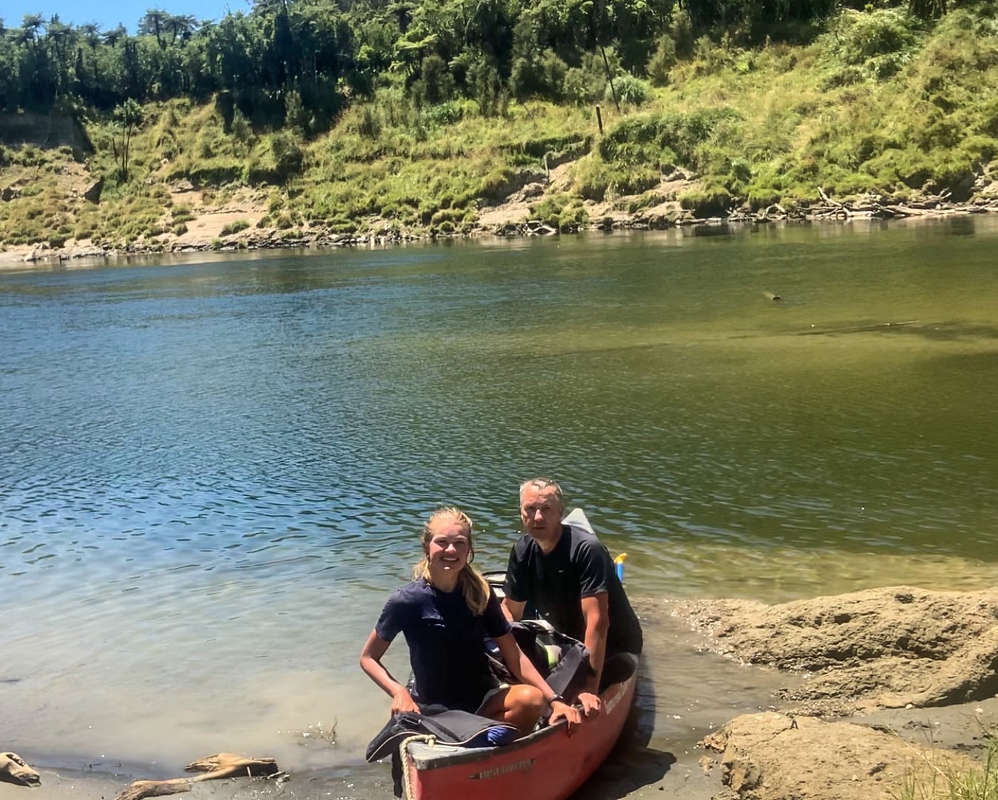
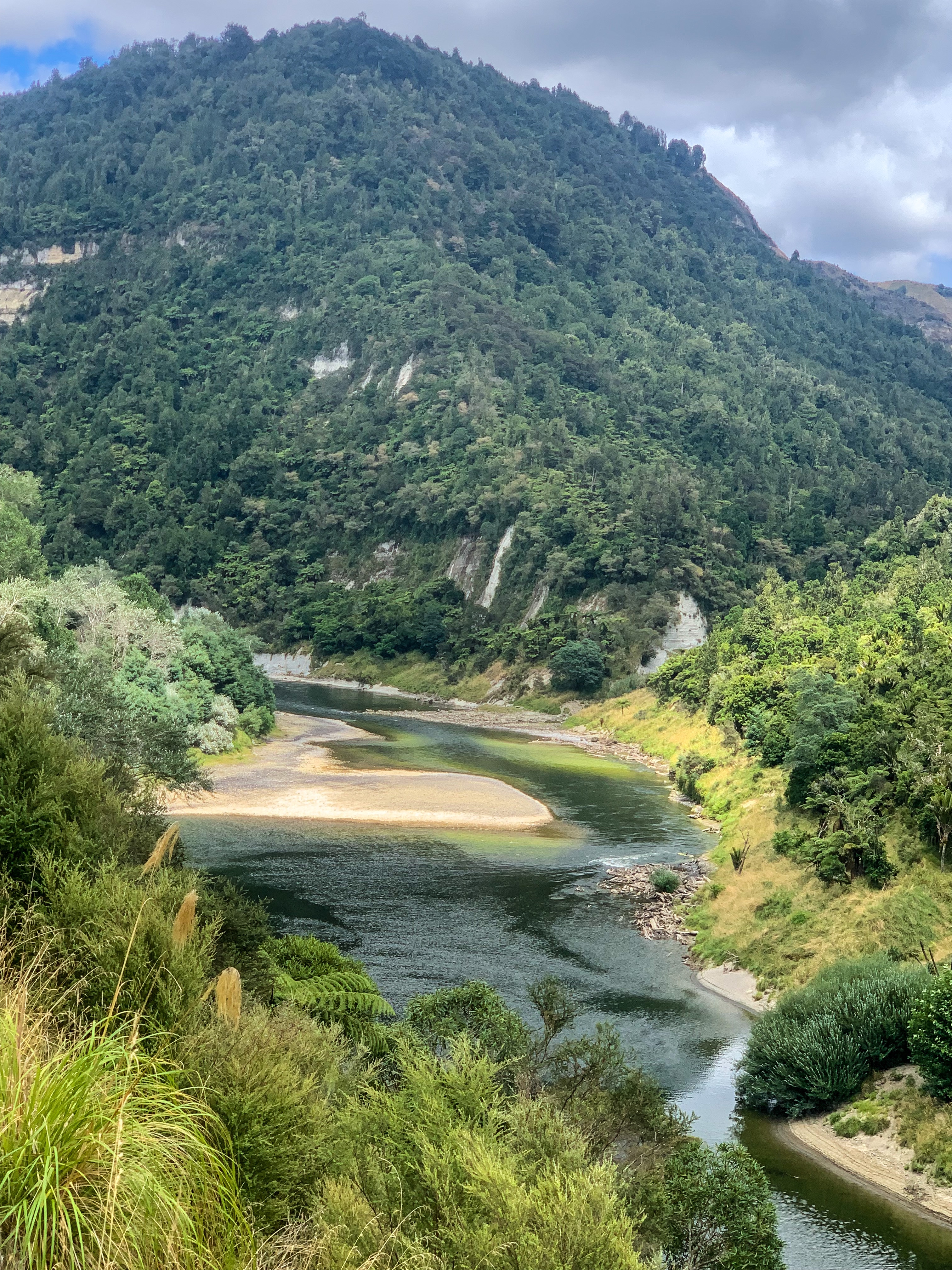
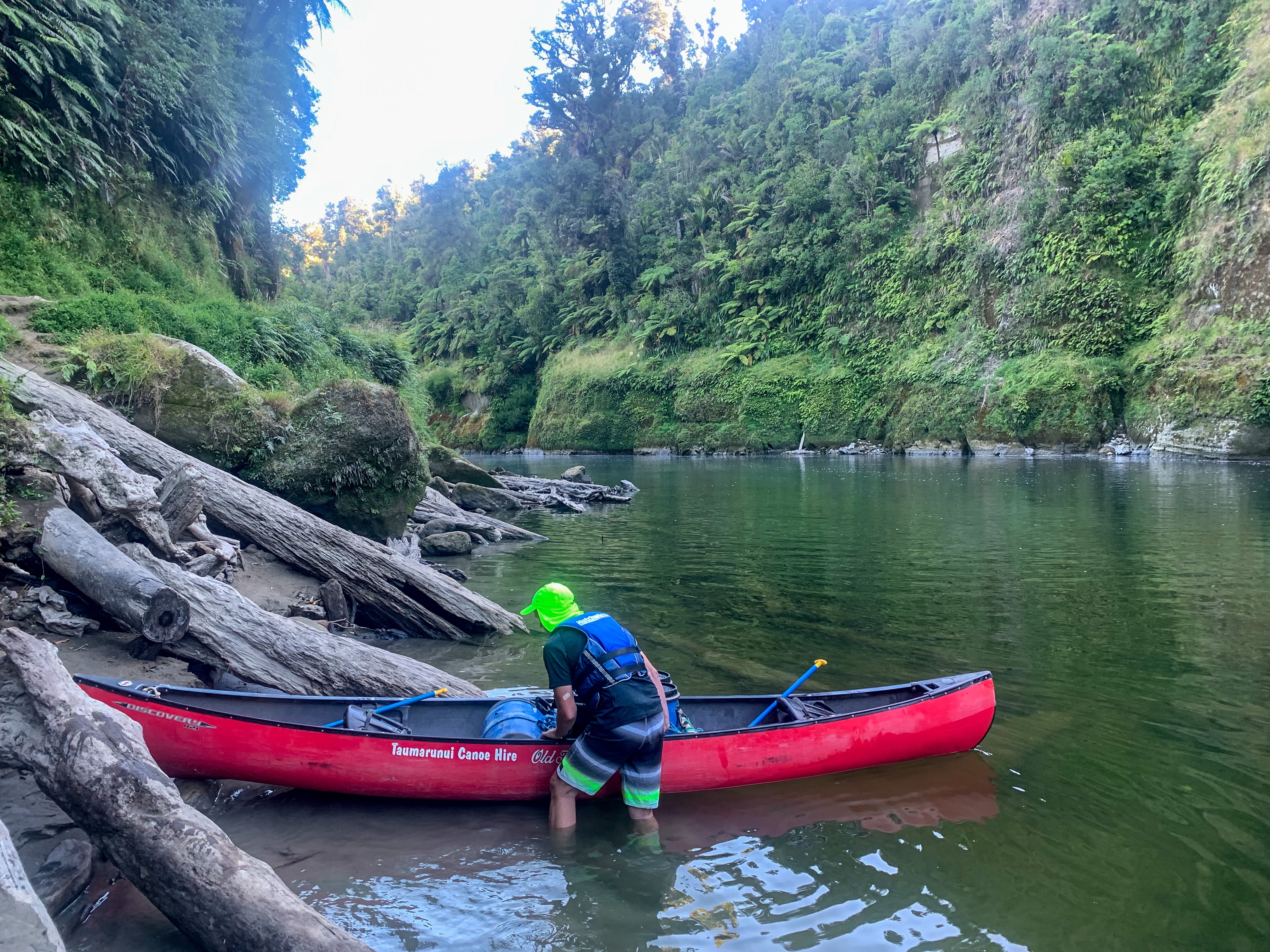
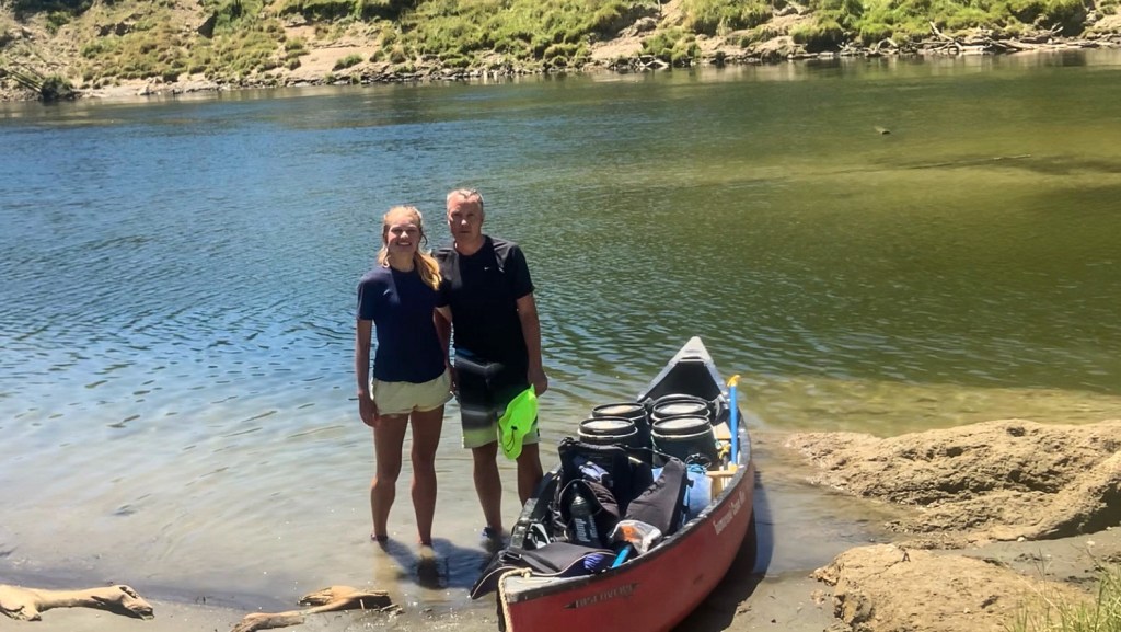
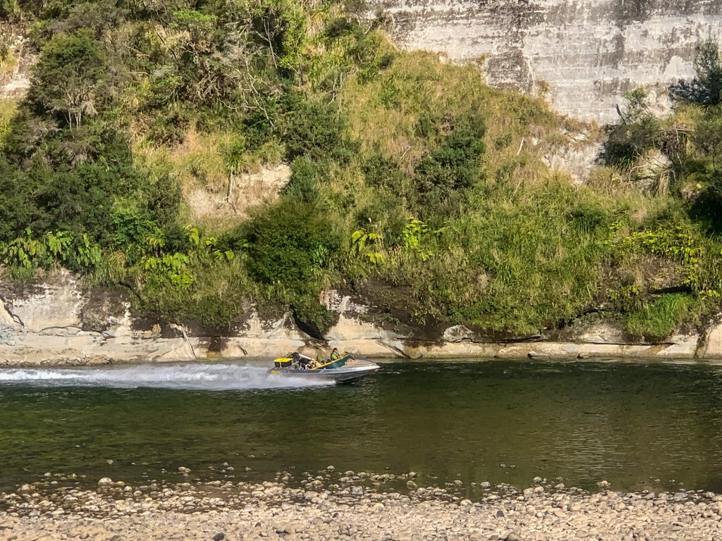
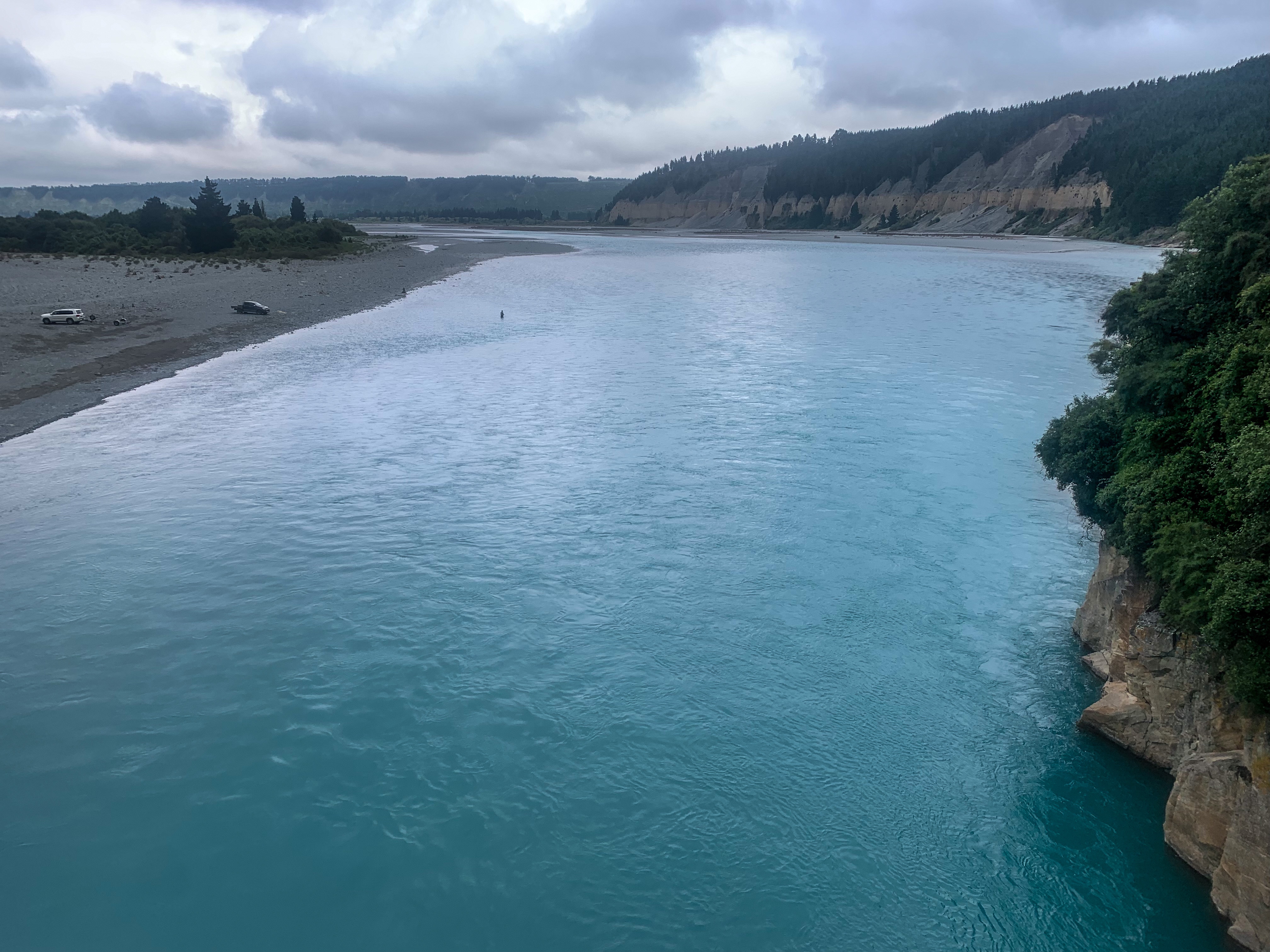
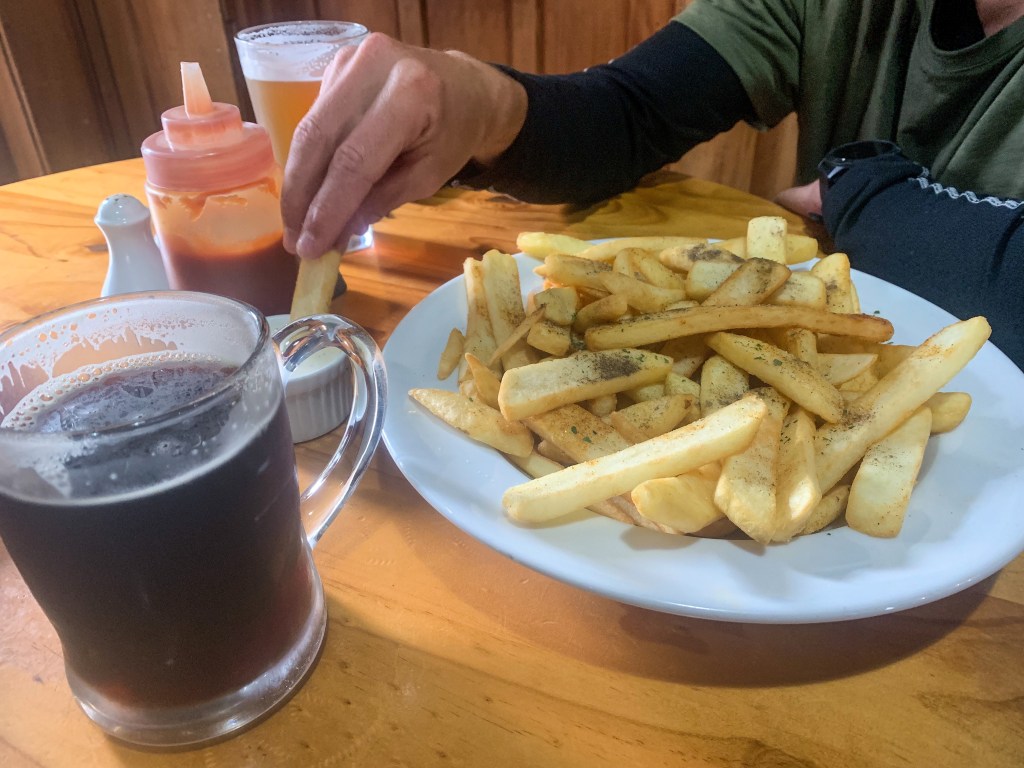
Unfortunately due to the nature of the Rakaia and Rangitata Rivers Te Araroa trail has identified hazard zones or ‘natural breaks in the continuum’ that they ask hikers to bypass. Similarly to the Cook Strait these bodies of water are to ferried across, shuttled around or in our case from Lake Coleridge to Methven hitched. It took three hitches and some road walking but we made it out of the rain and to the town just in time for fries and some beersies. 😛
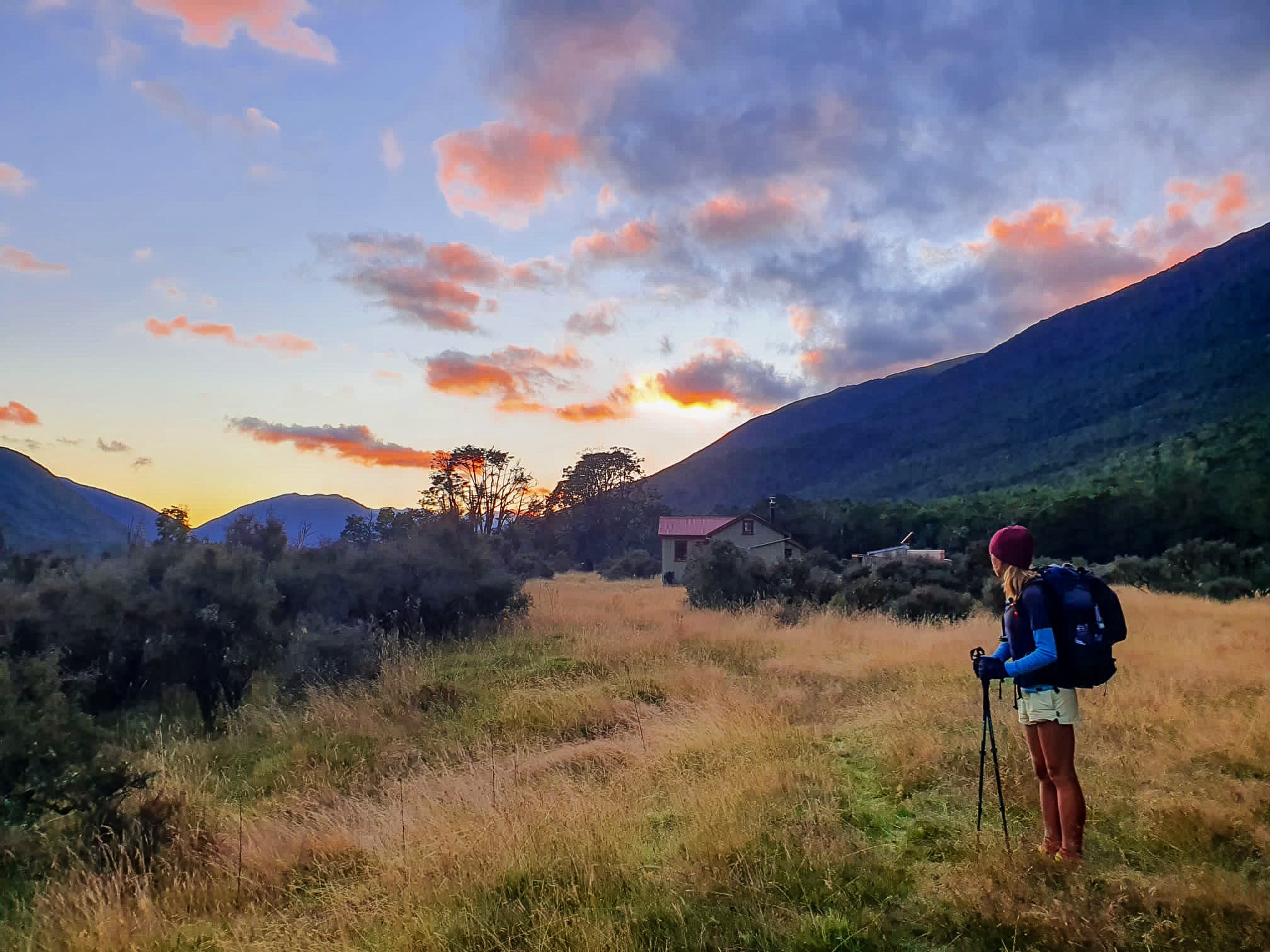
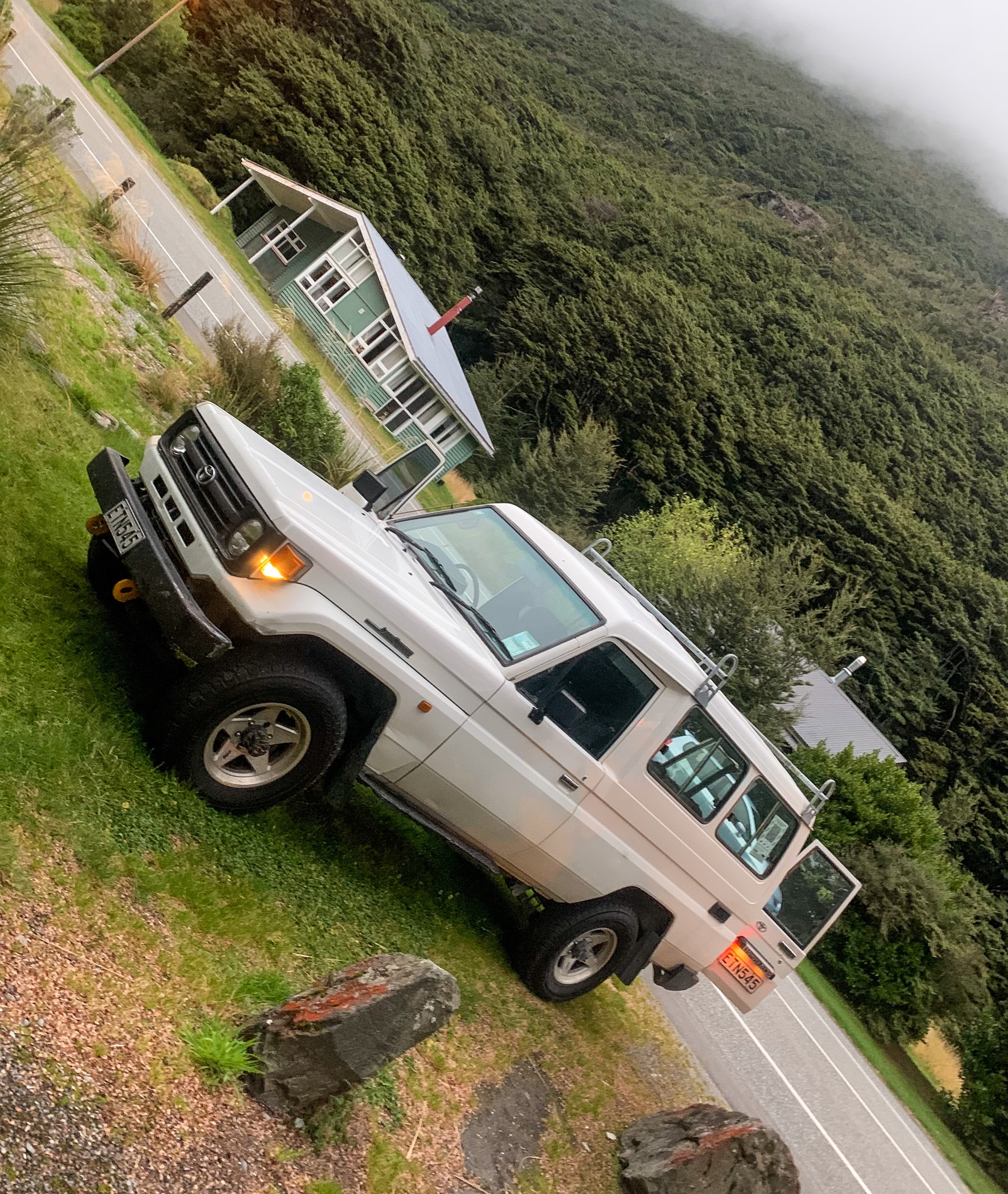
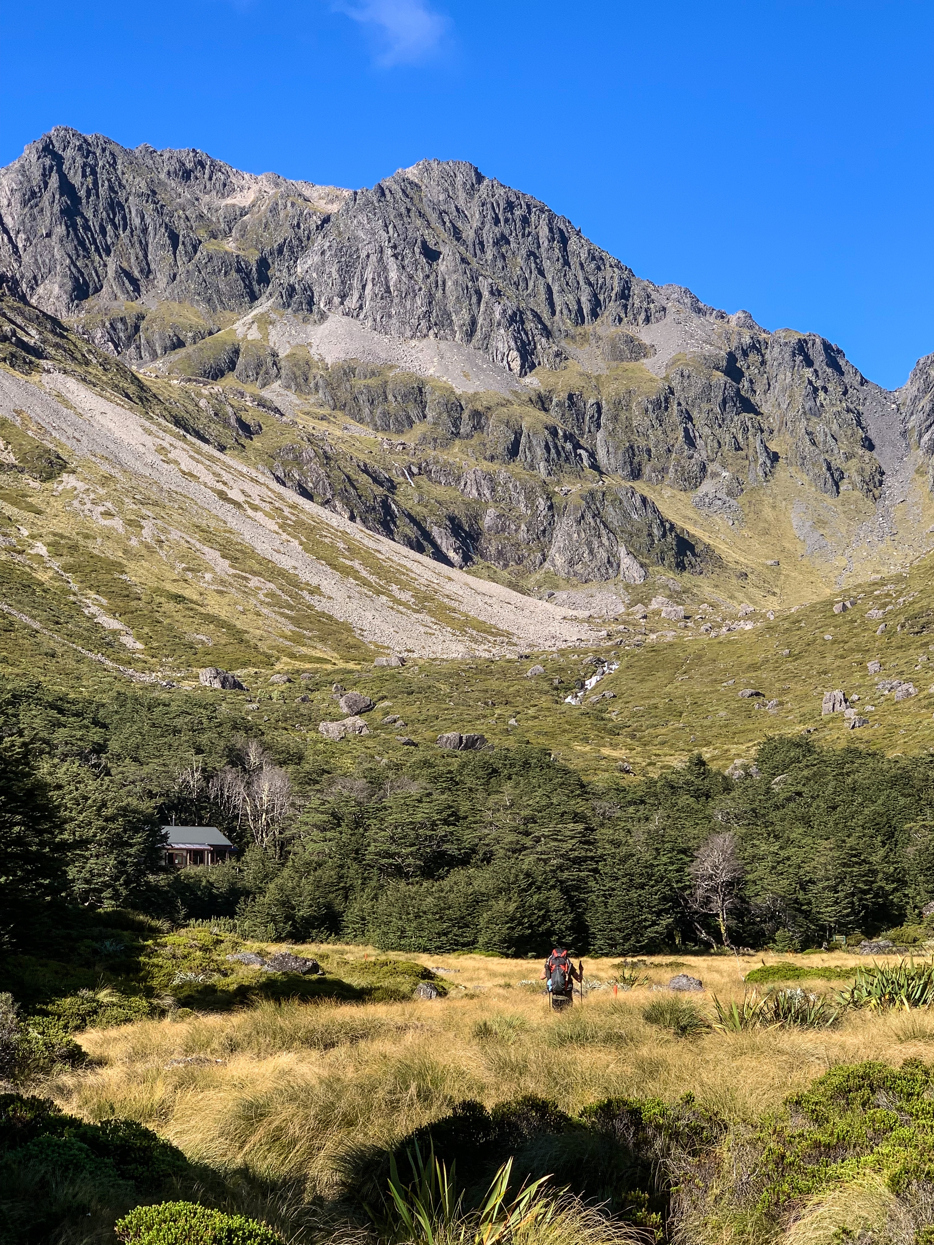
Not wanting to stretch our hitchhiking luck too far, for getting back on trail and the subsequent river bypass we organised a shuttle and headed to Double Hill the following morning.
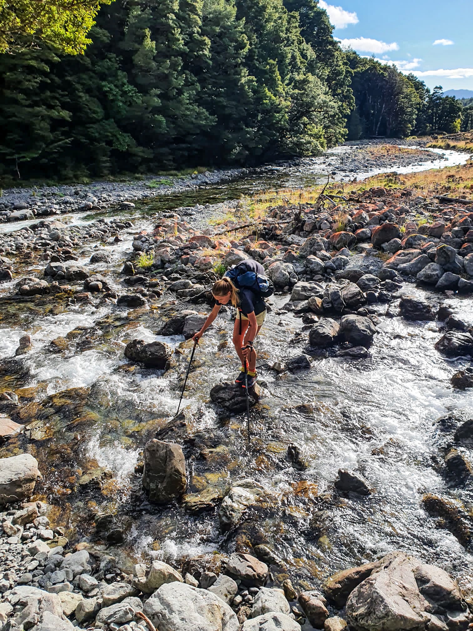
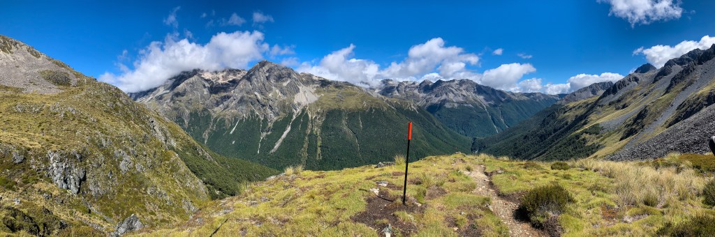
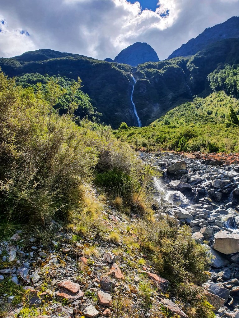
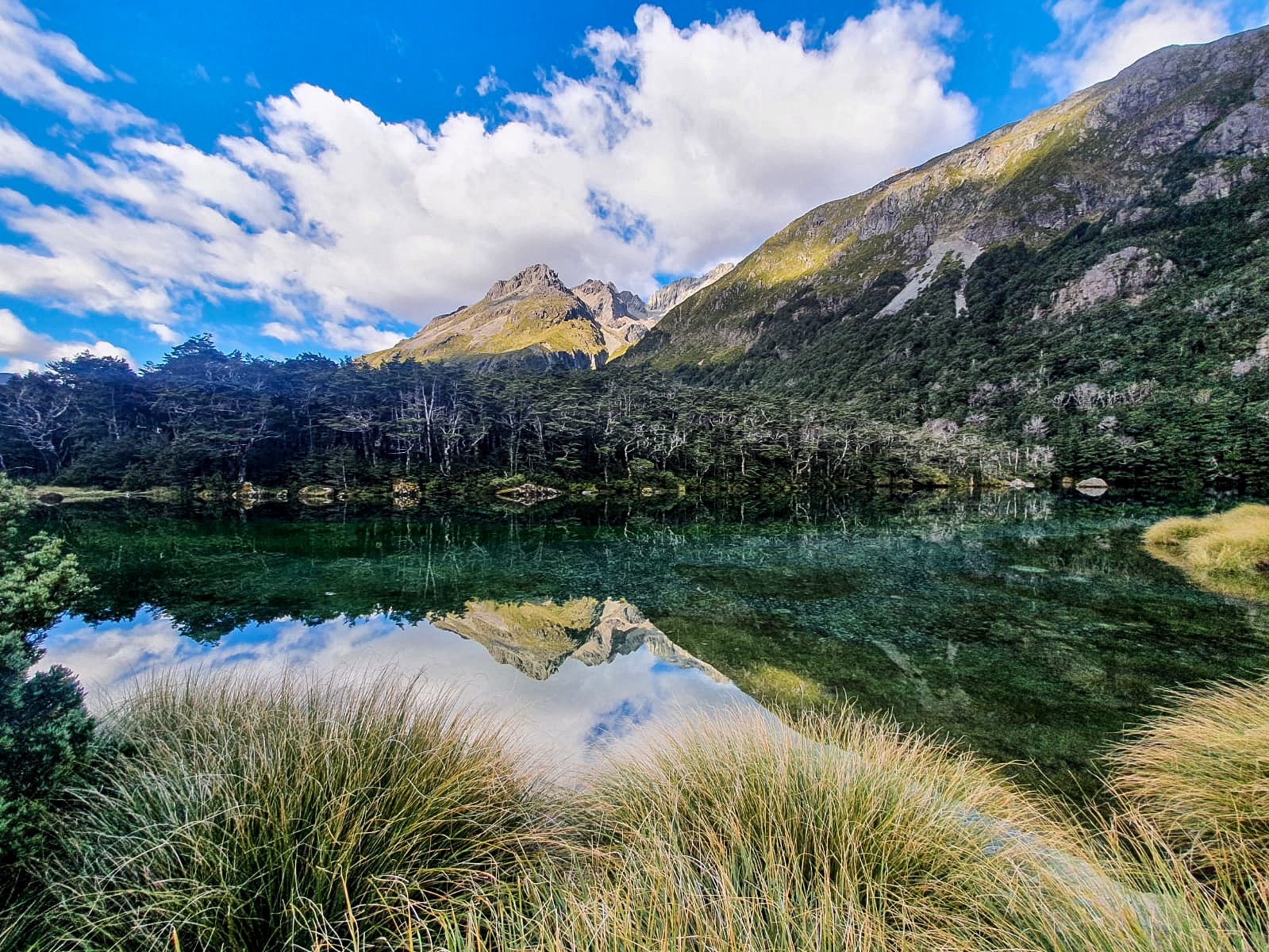
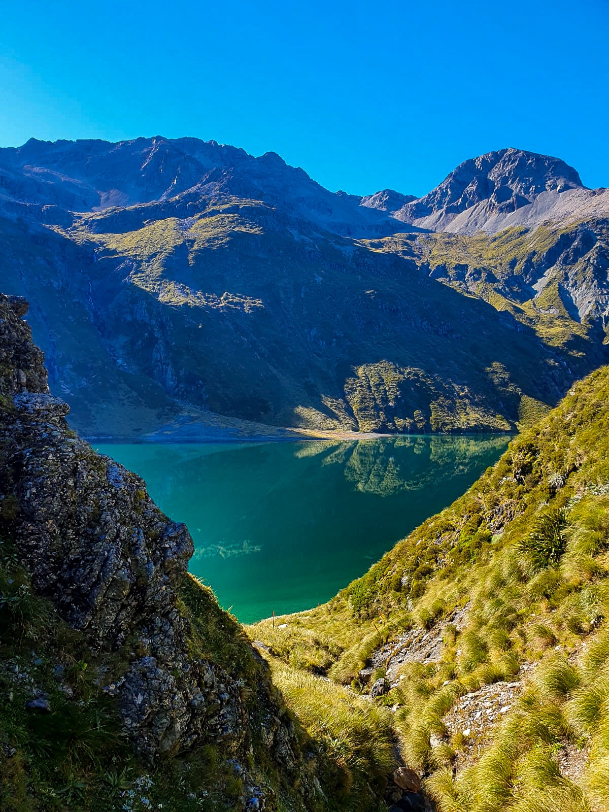
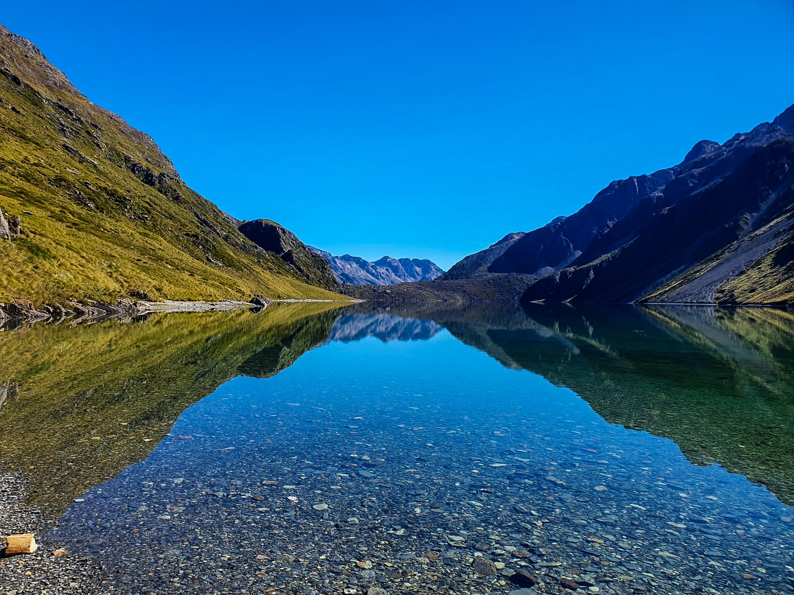
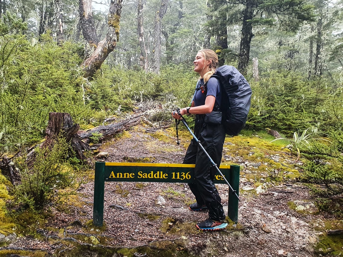
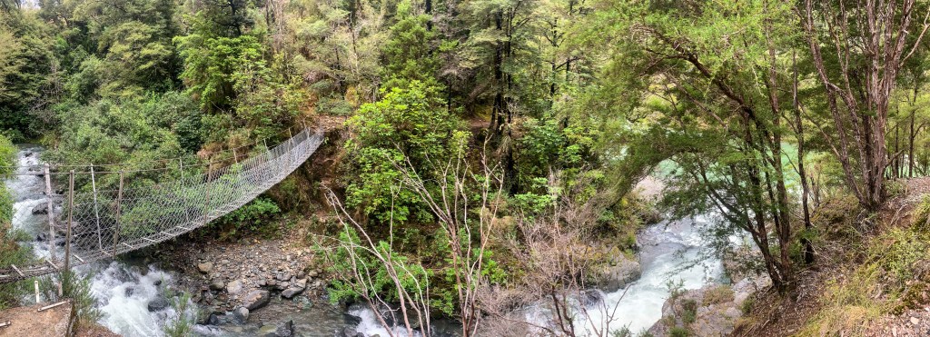
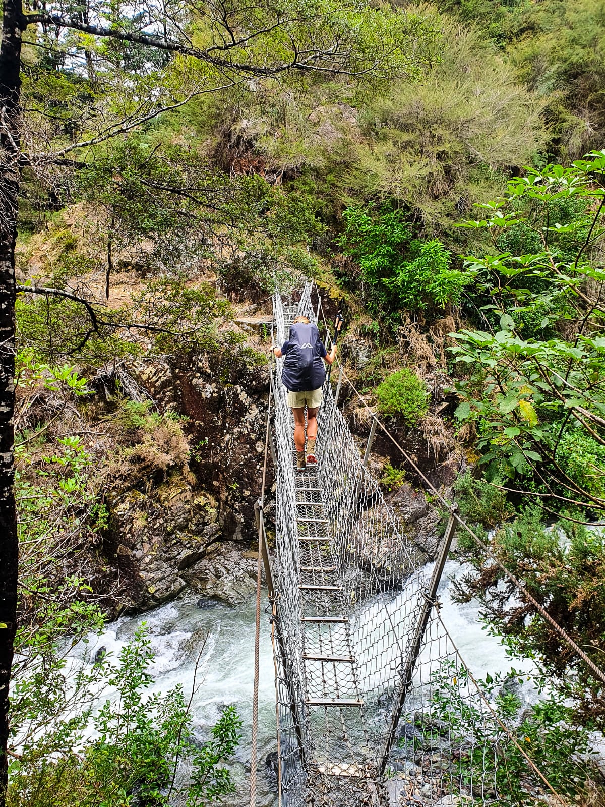
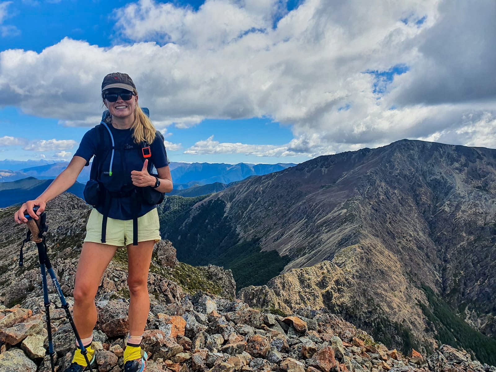
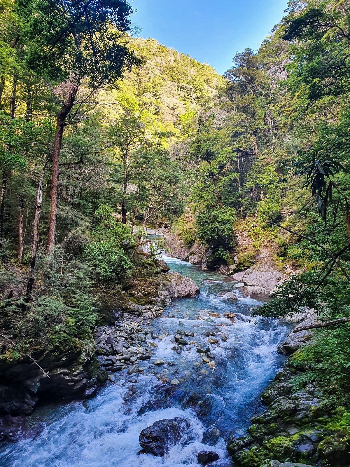
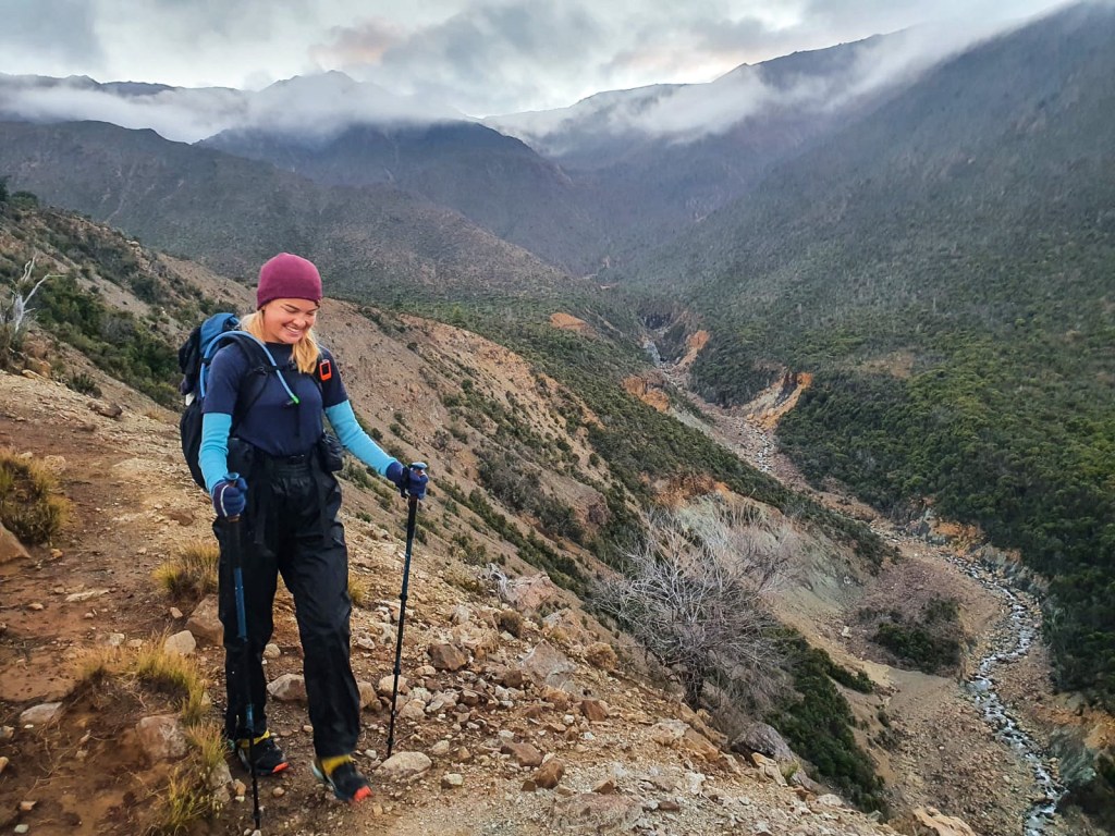
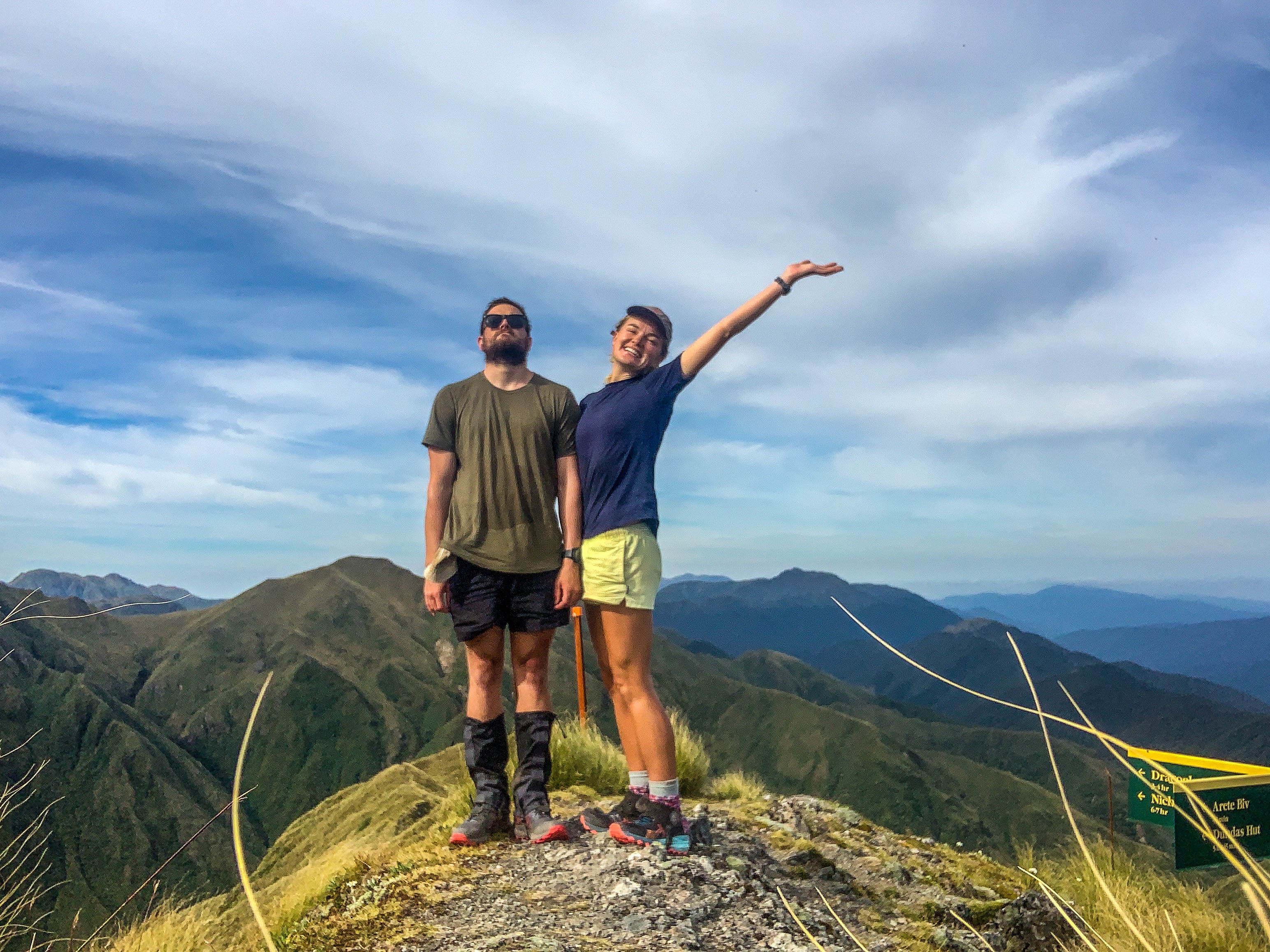
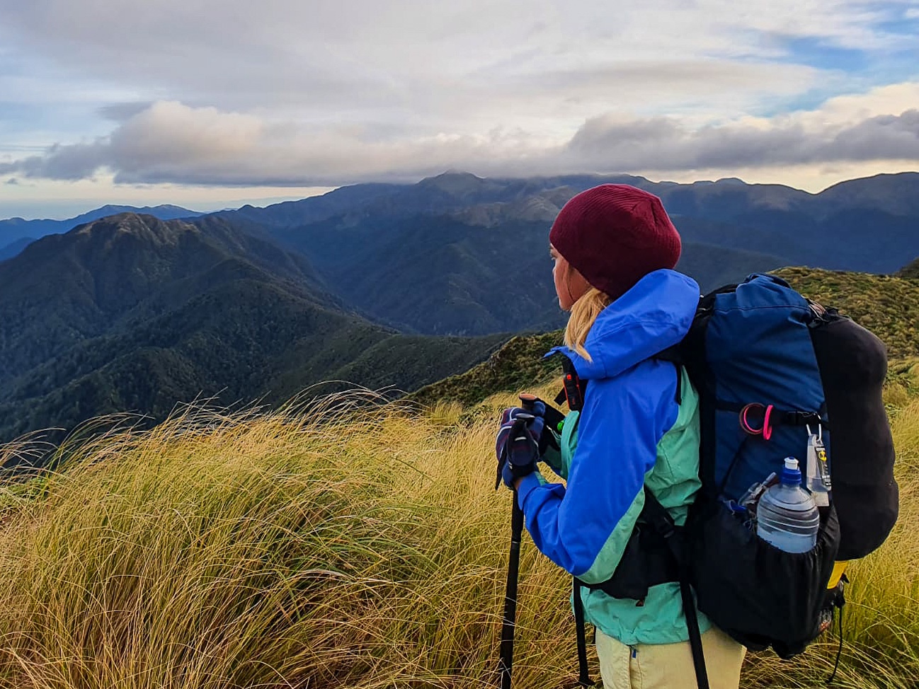
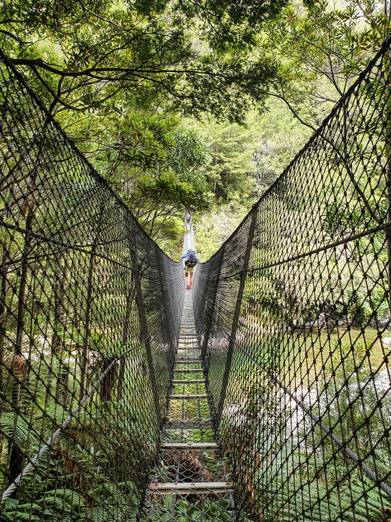
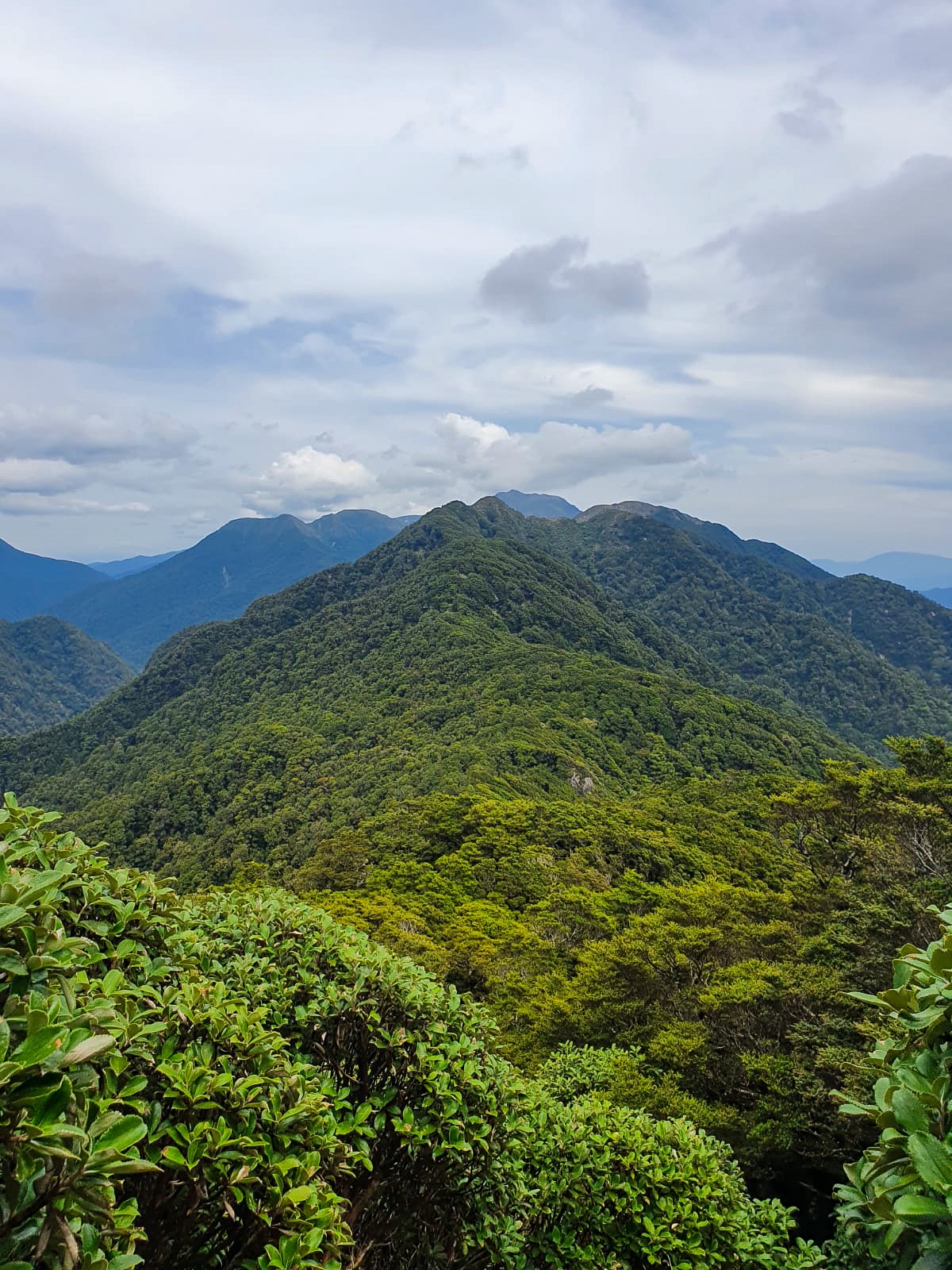
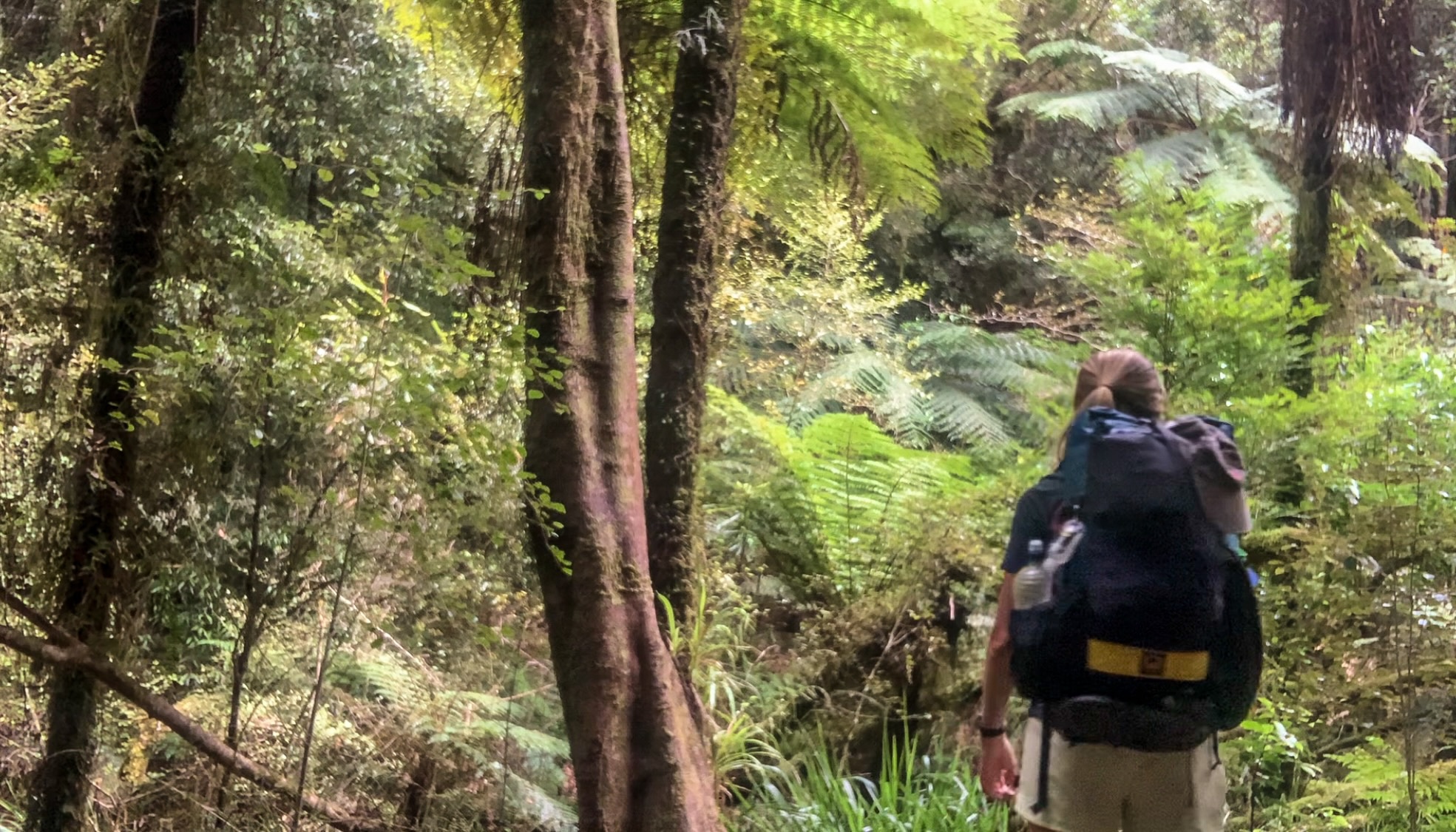
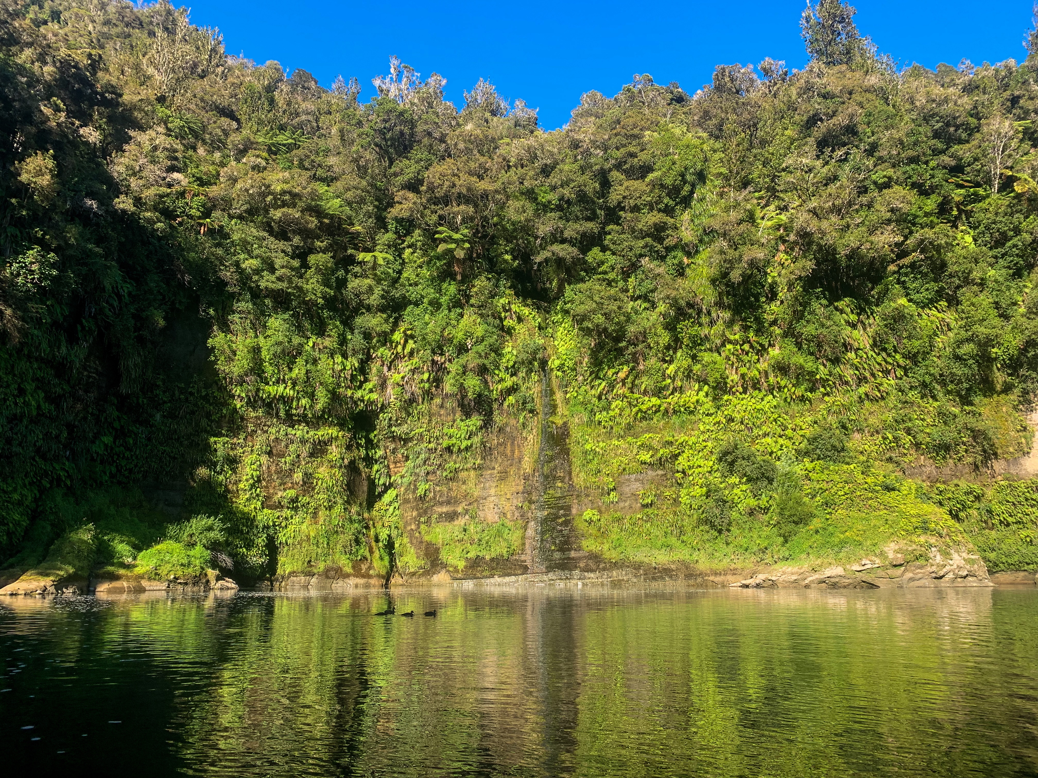
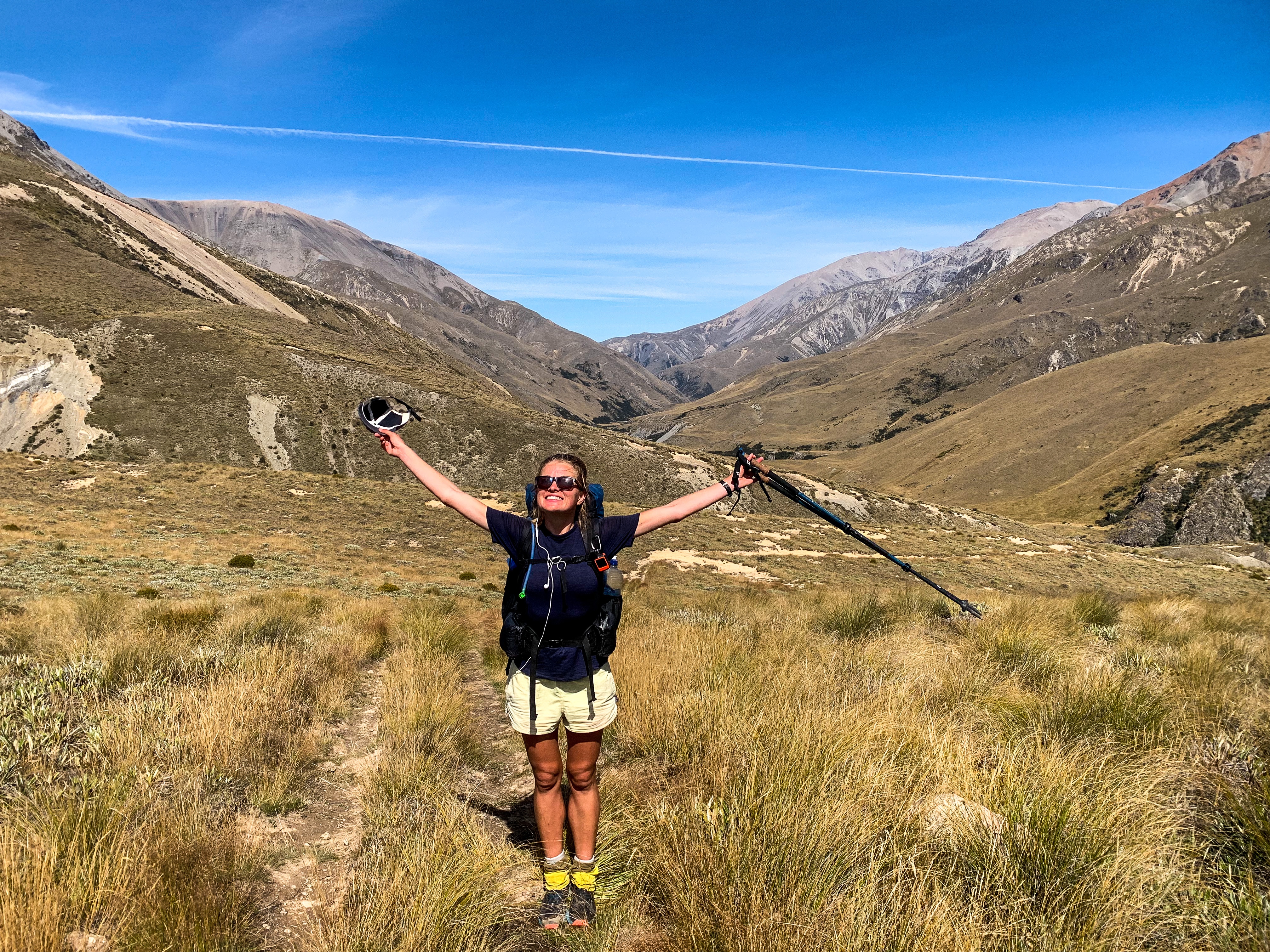
The next section, while geographically hard to define as it sits between different valleys and mountain ranges can really be best described as wet! Whether that was from the sweat dripping off my back, forehead and even chin the first day, the second days 58 river crossings (I’m not kidding) or the numerous lakes we trotted past on the third day… this section was wet.

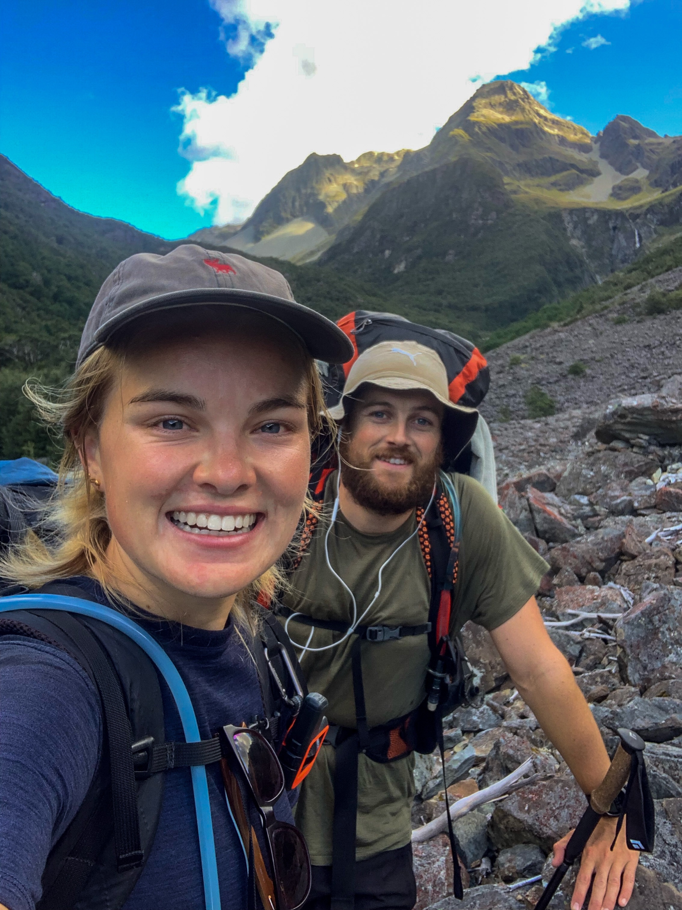
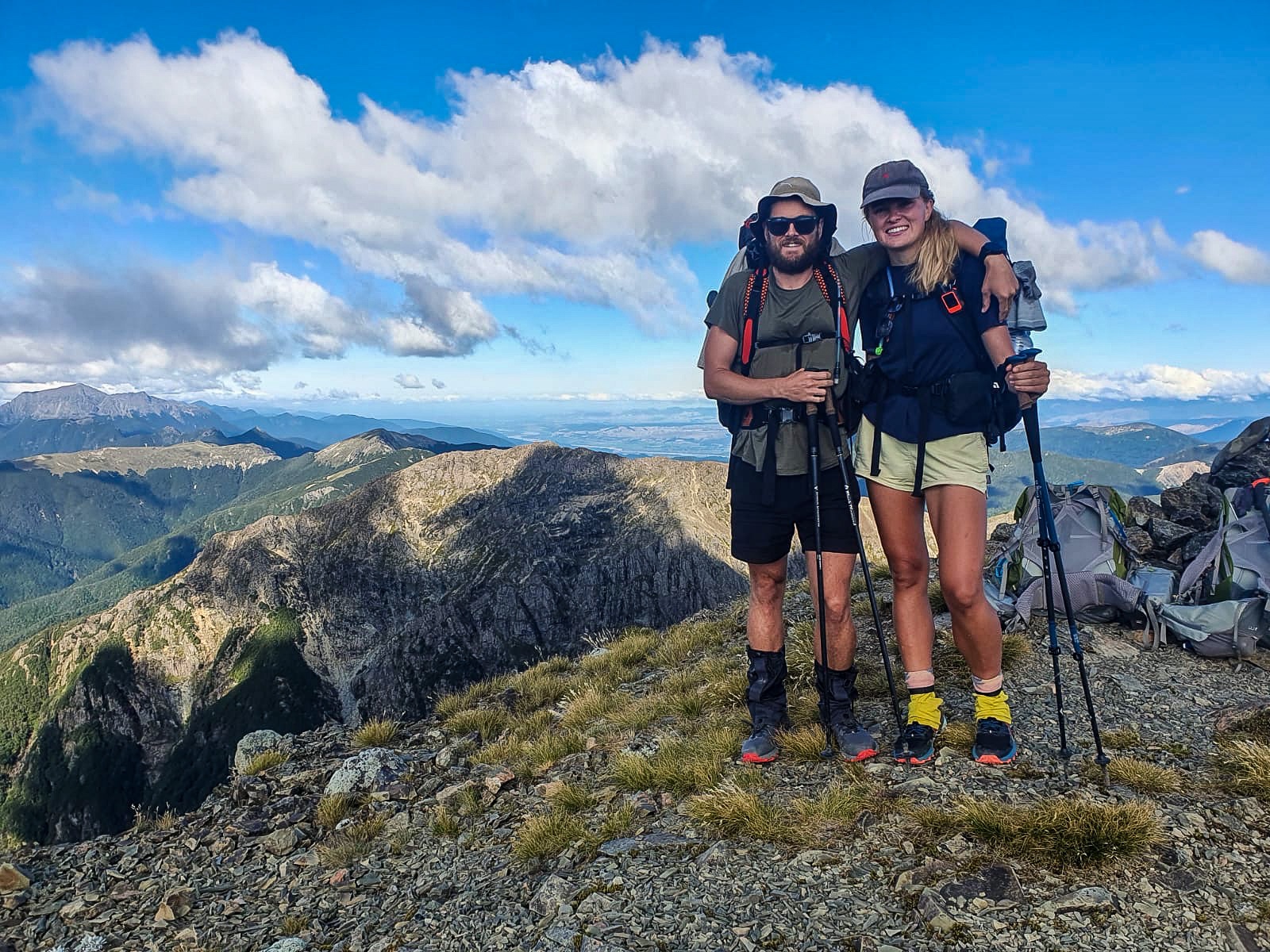
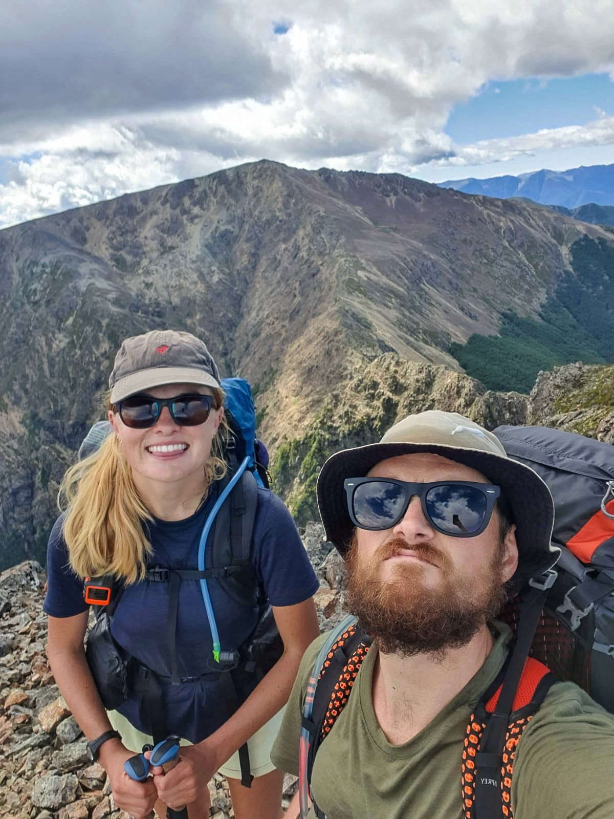
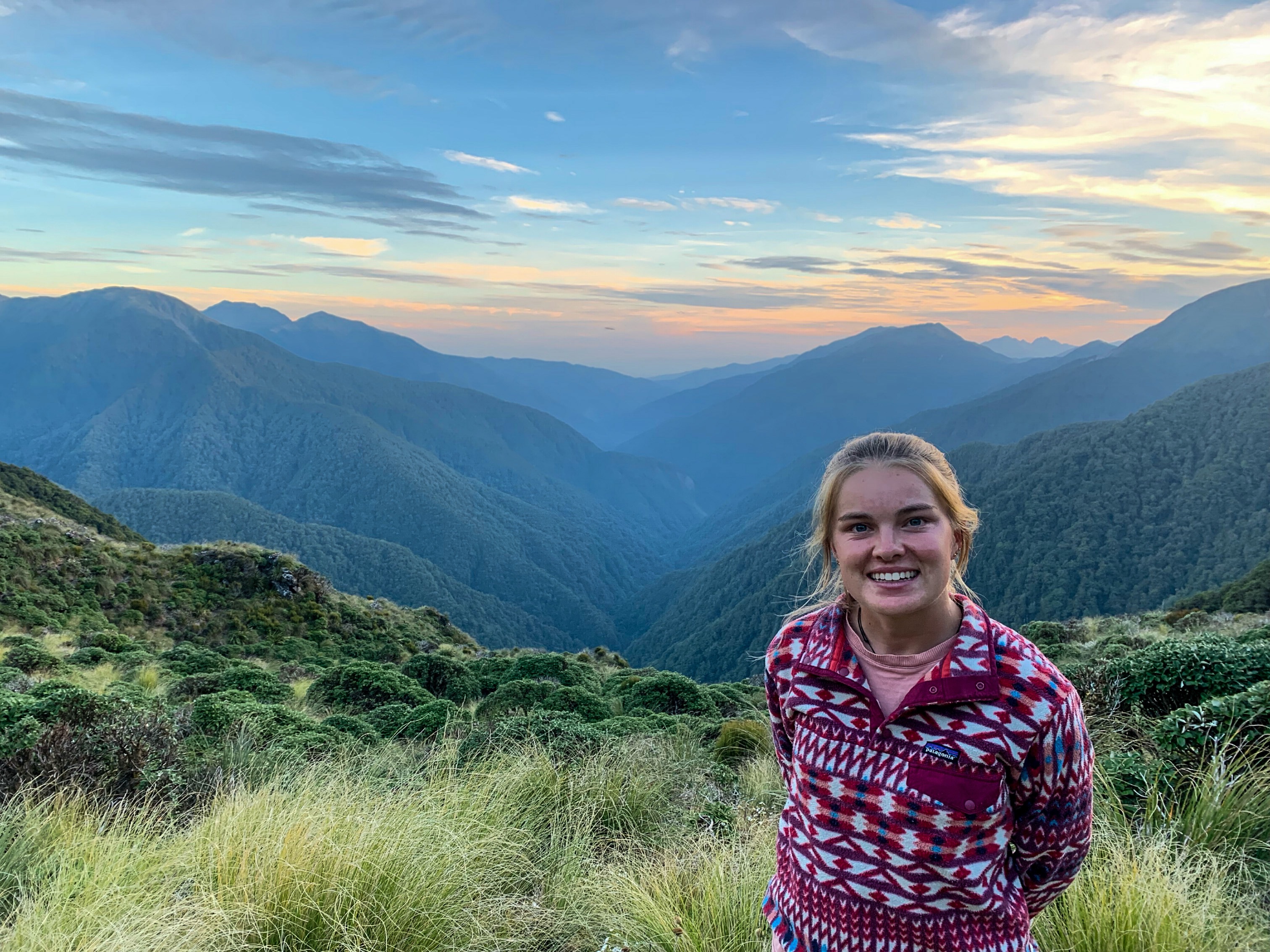
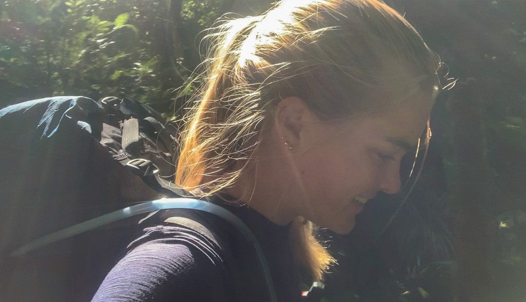
Climbing alongside Glenroch Stream we made it to the top of Turtons Saddle and down Turtons Stream towards our hut for the night. I’m going to blame the stream for why I look so wet in any photo, not the copious amount of sweat running off me… all the streams fault. 😉

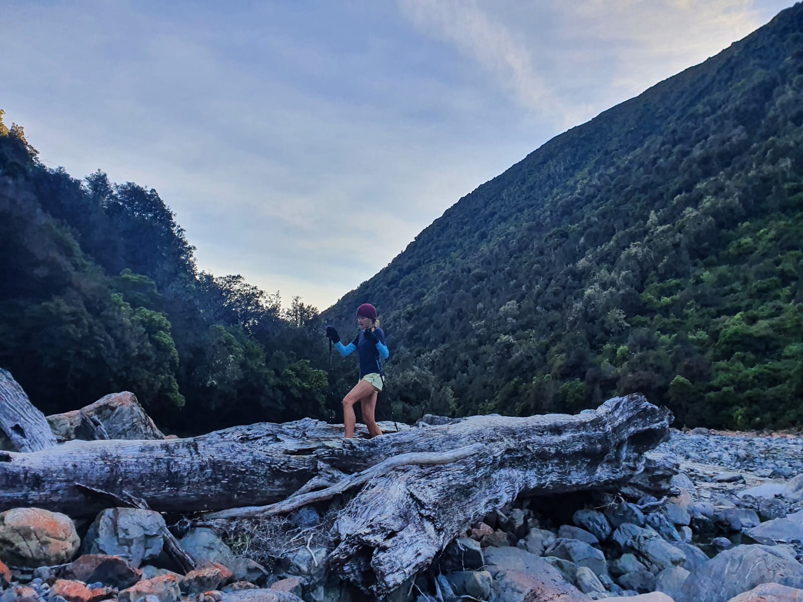
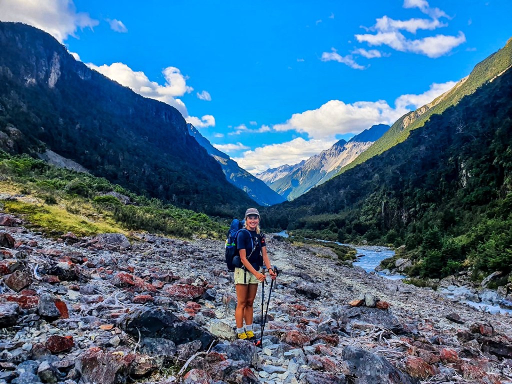
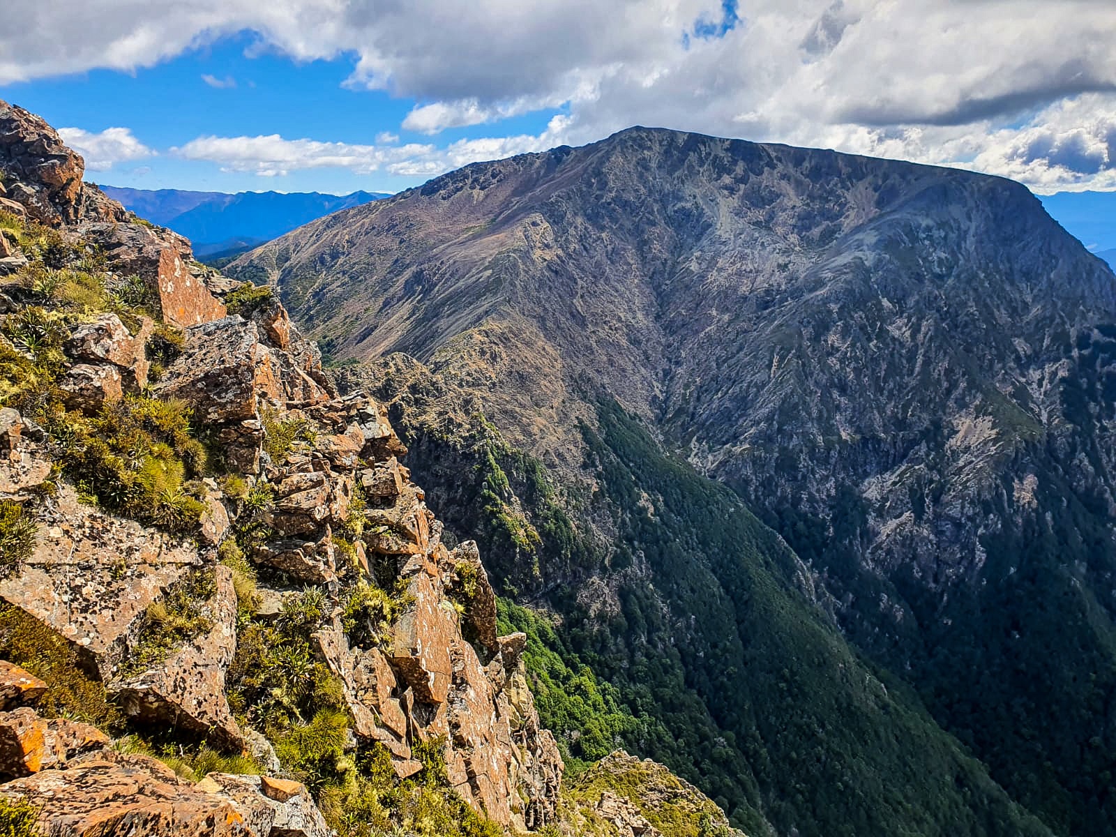
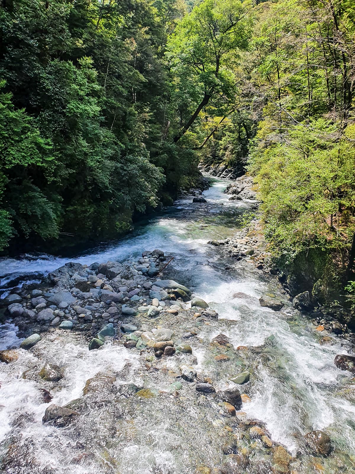
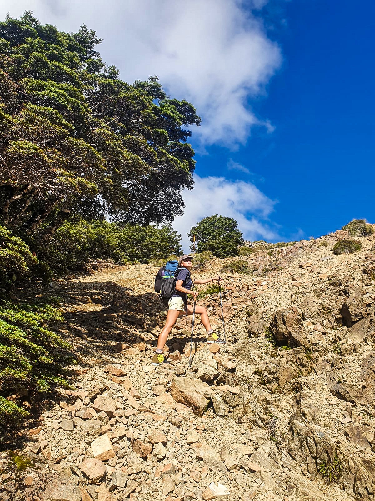
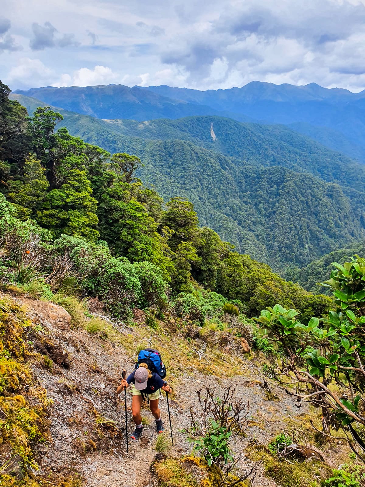
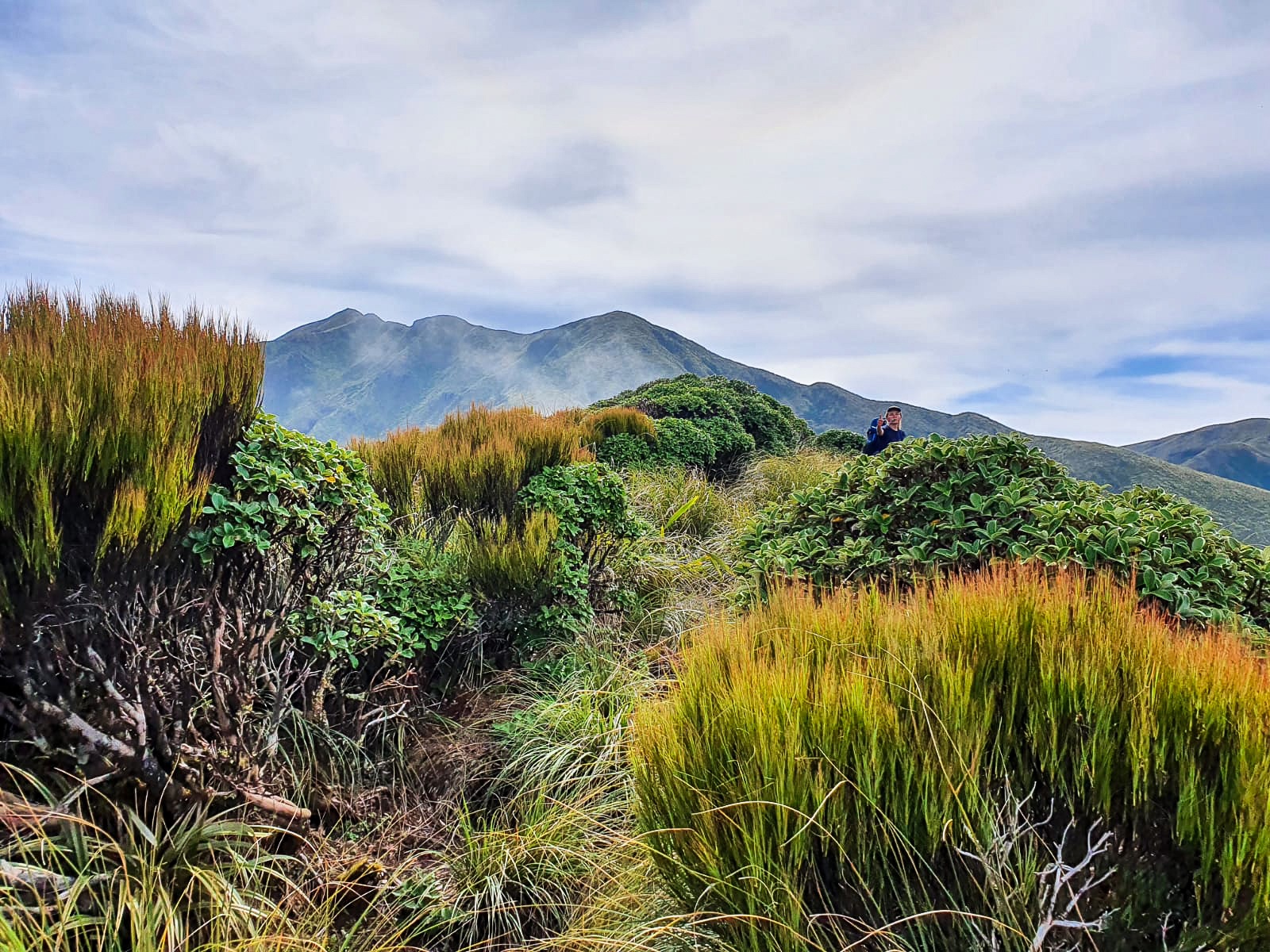
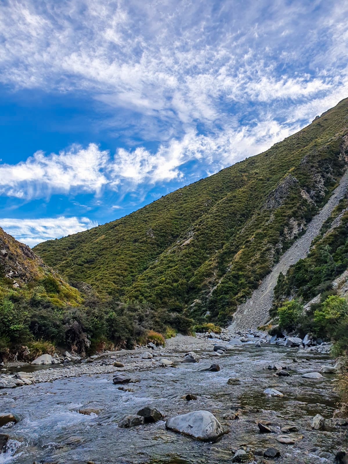
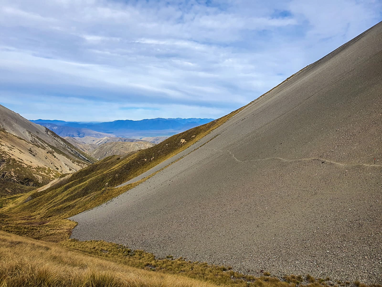
The subsequent morning, seriously I’m not kidding, we crossed Hakatere River and Hill Creek River 58 times before making it up and over Clent Hills Saddle and back down towards more rivers. 58 times!

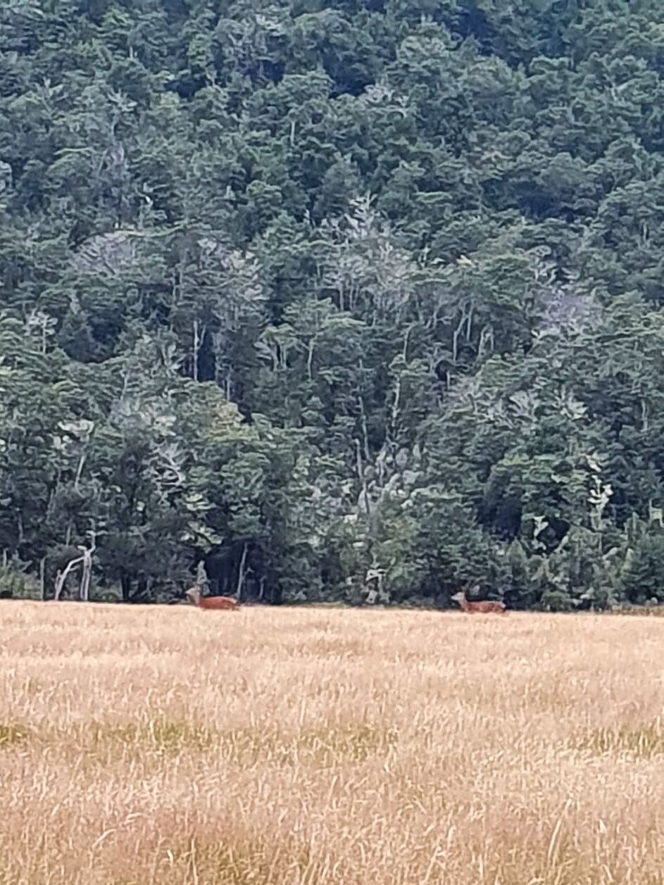
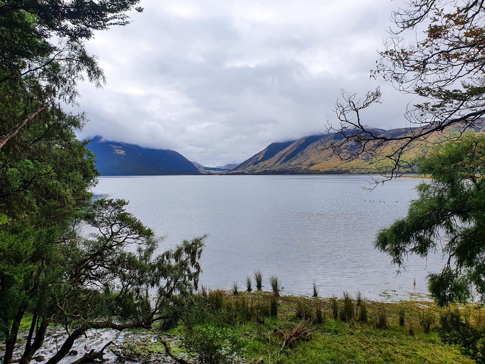
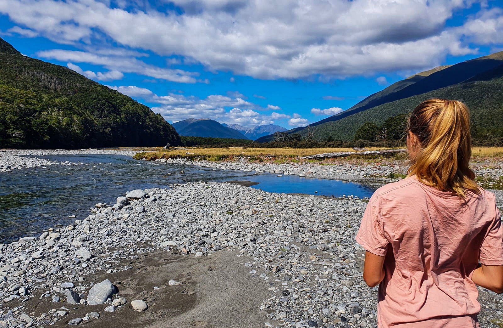
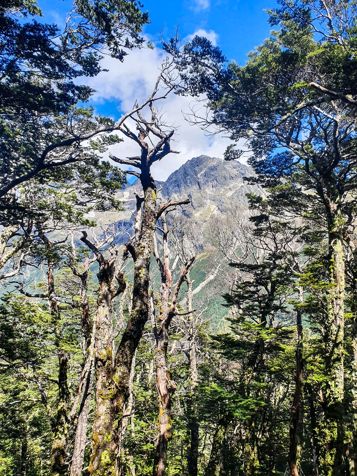
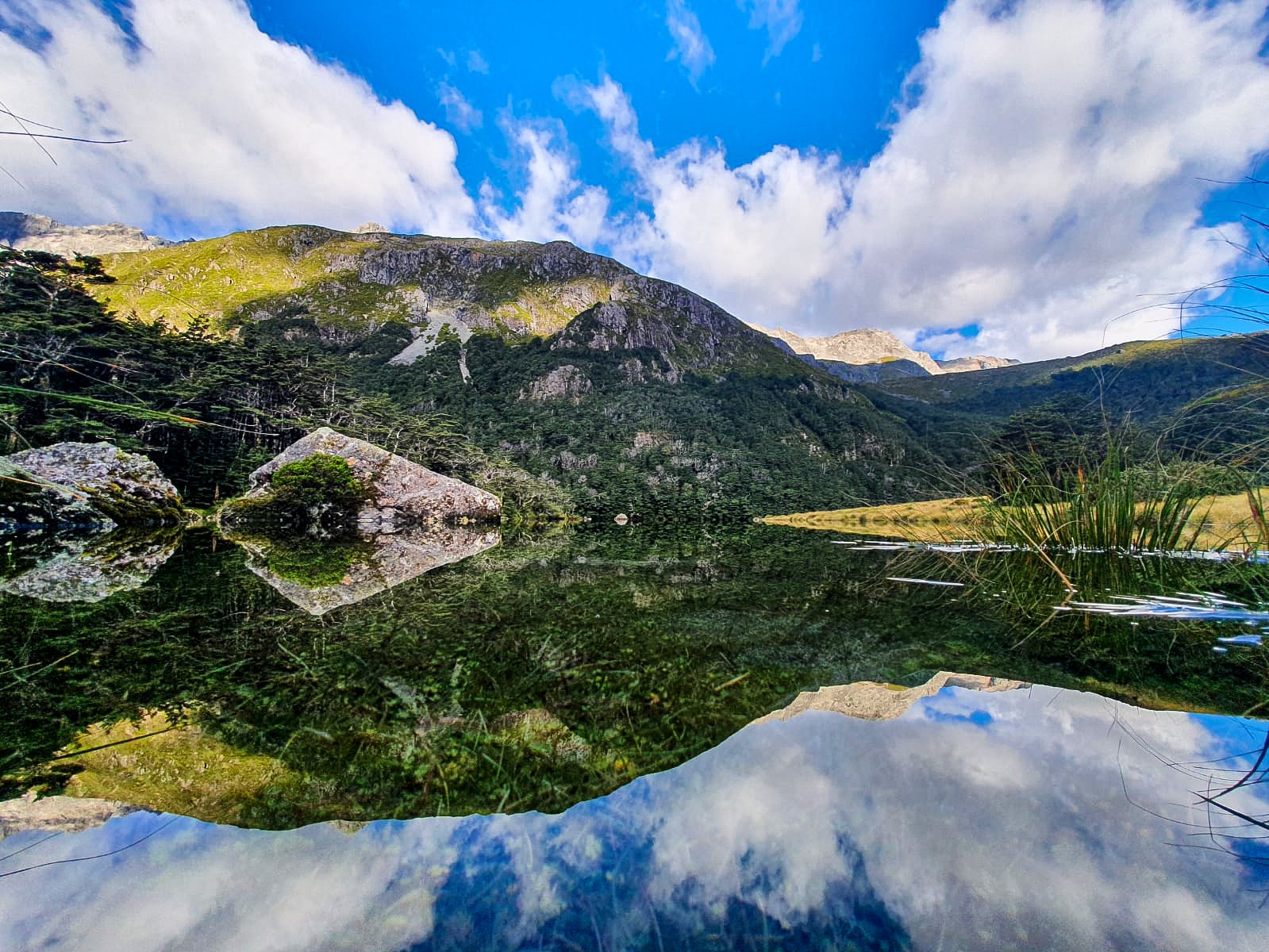
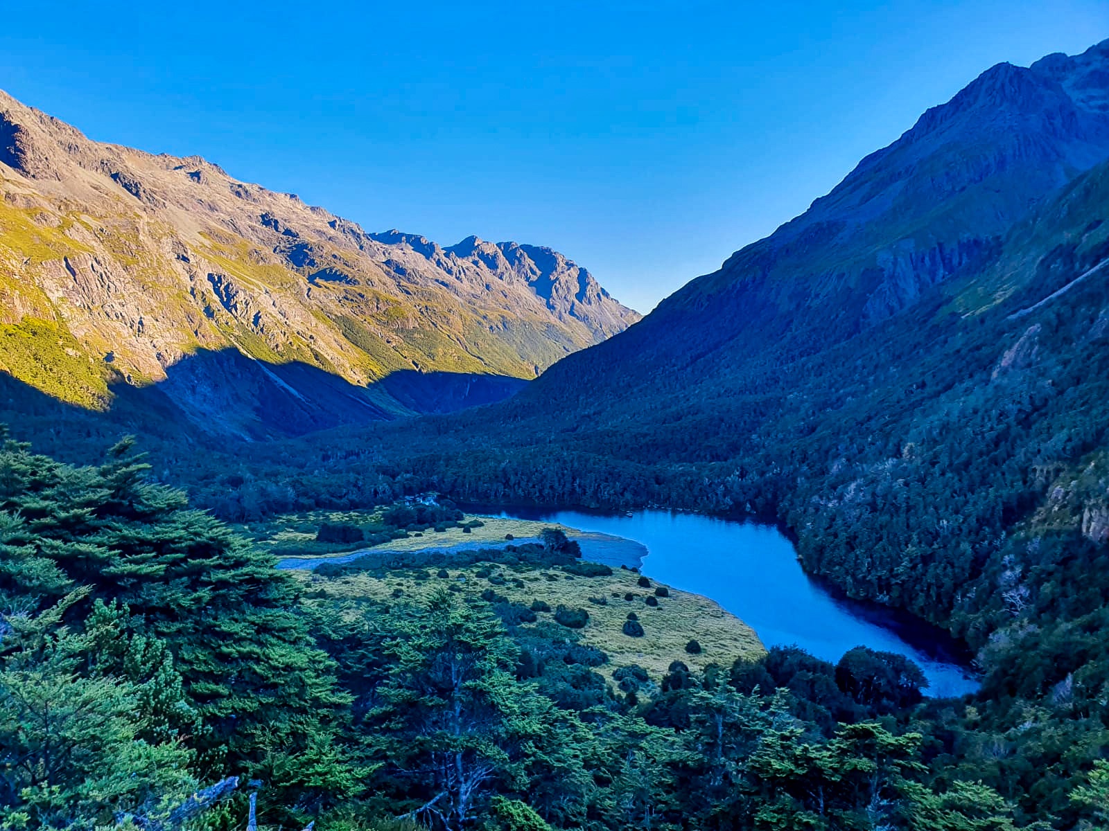
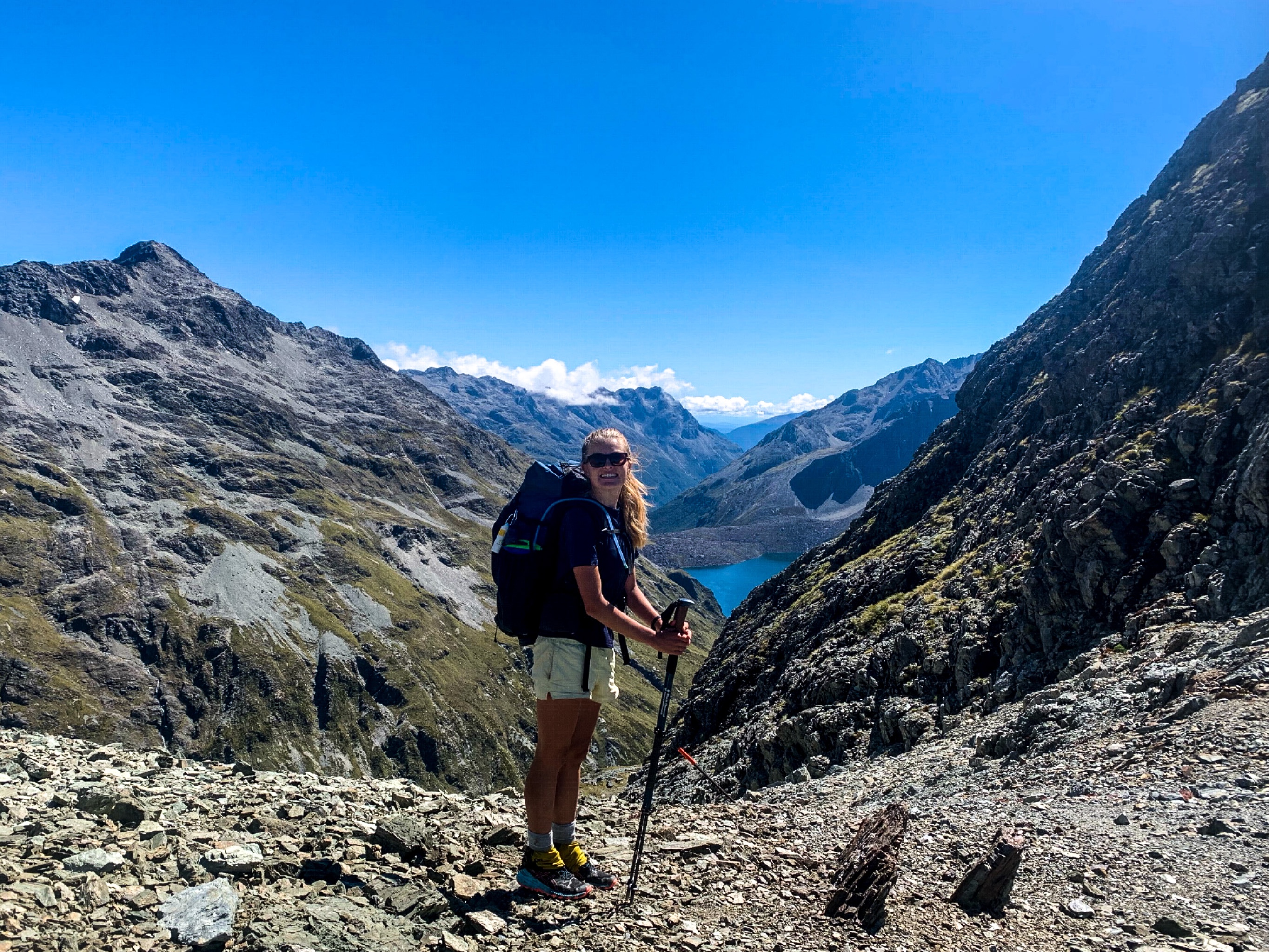
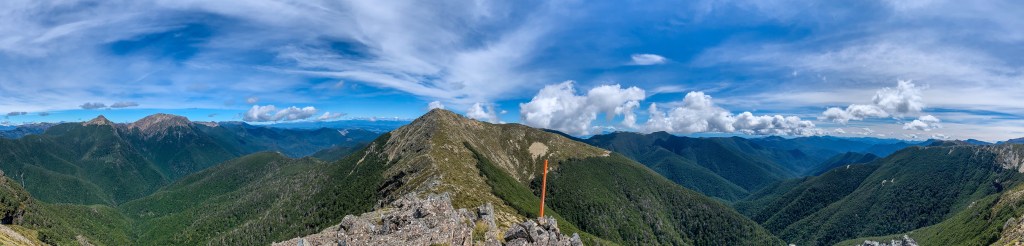
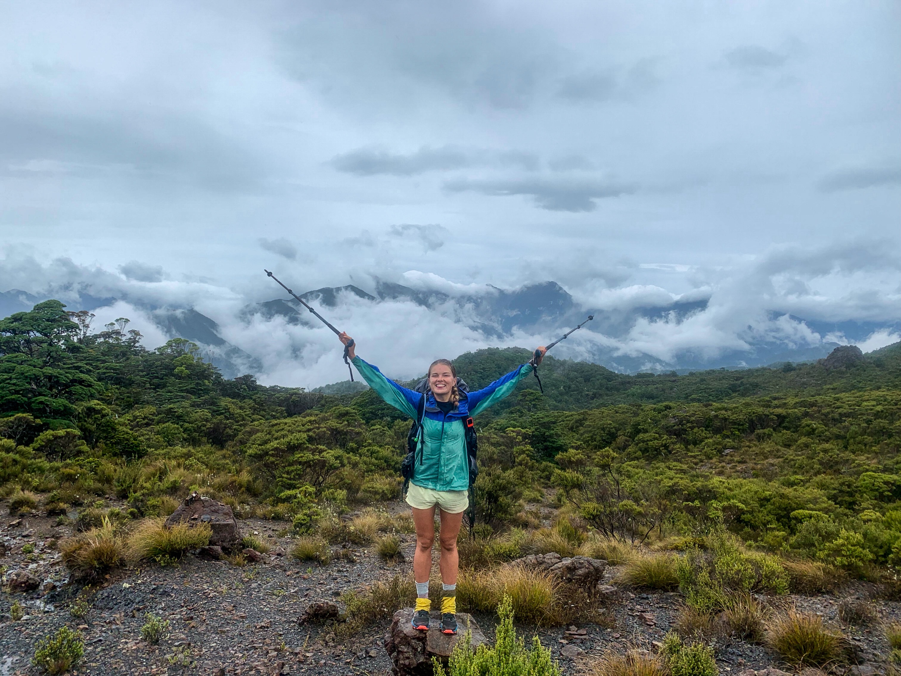
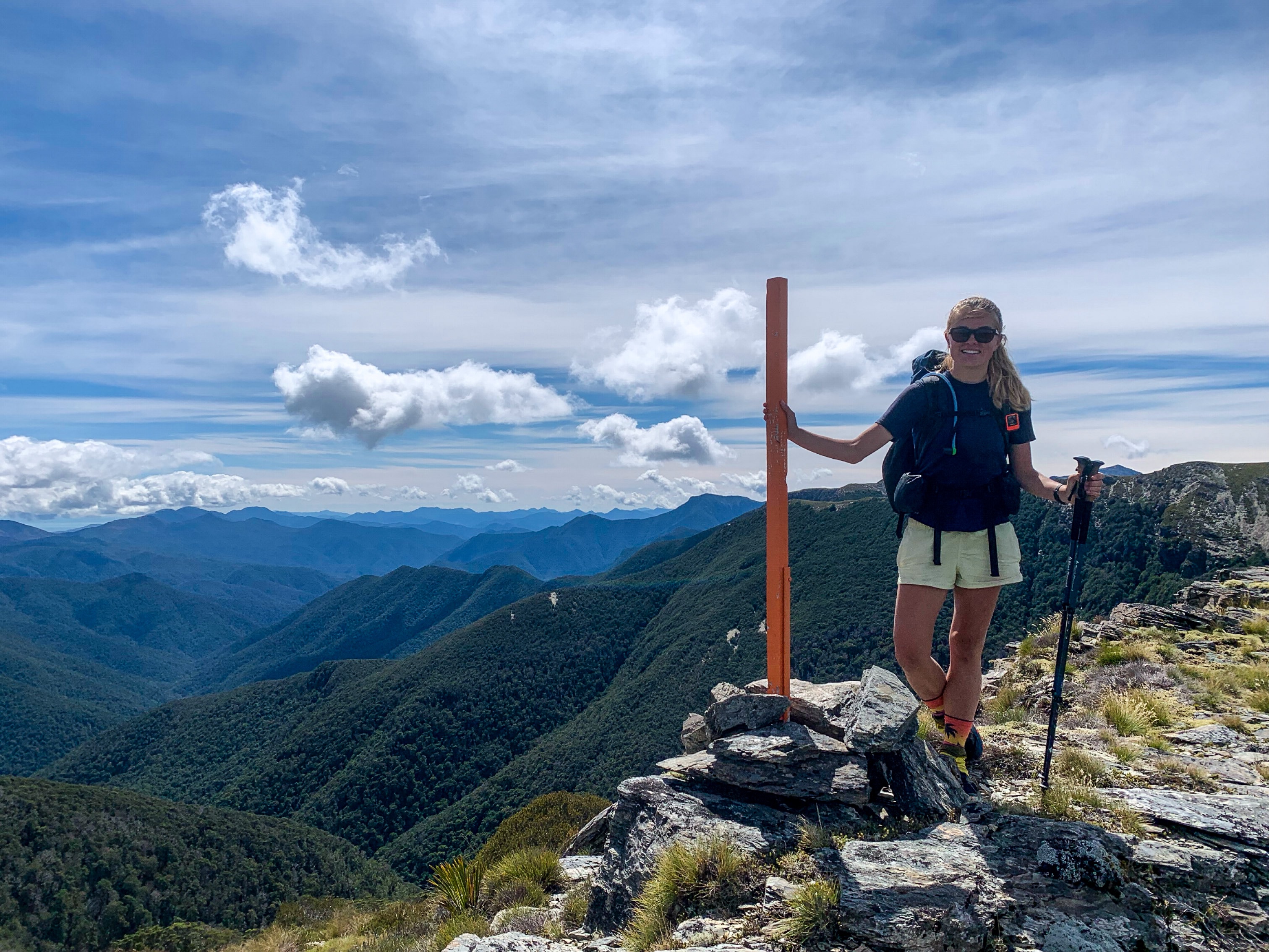
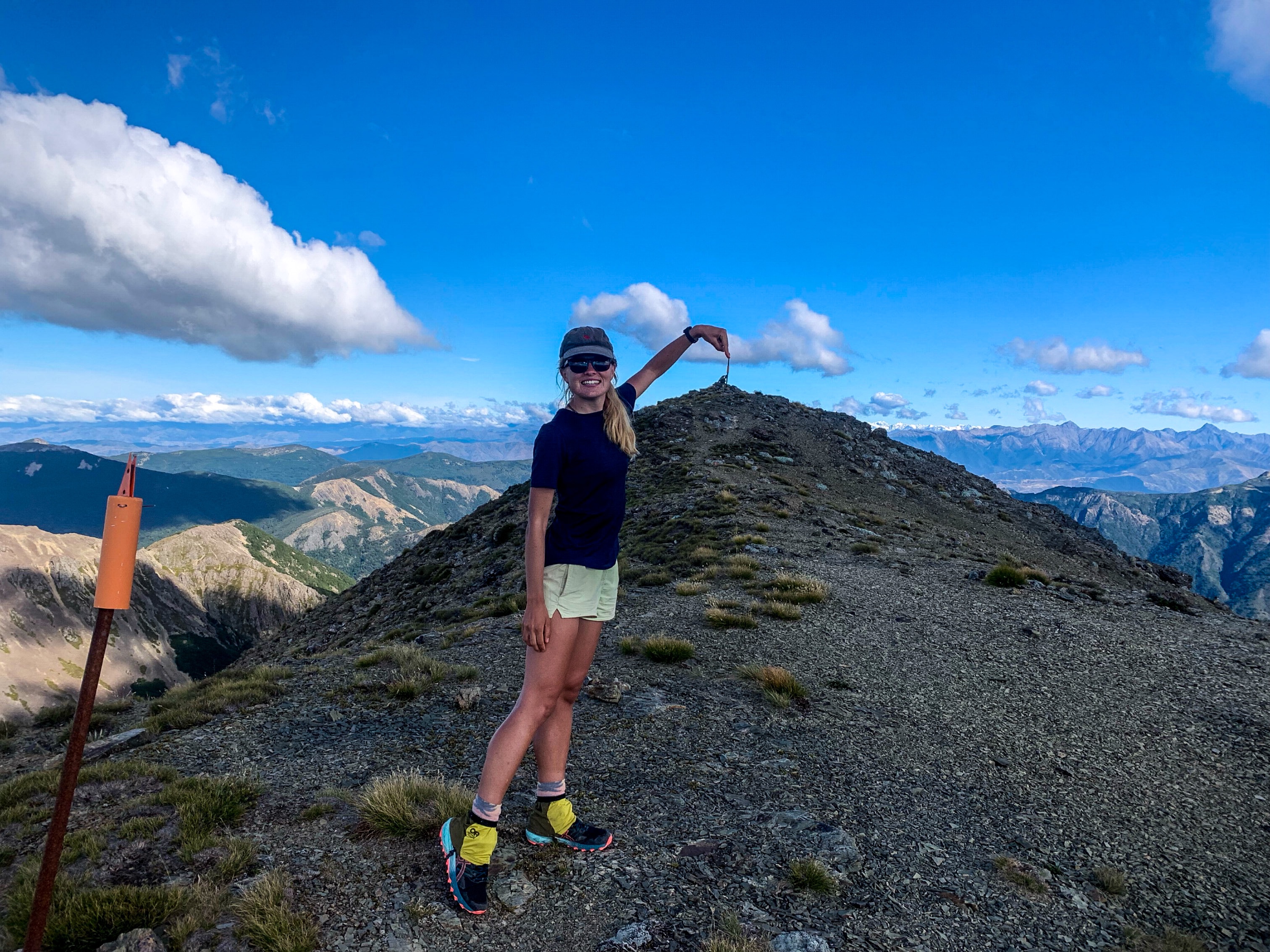
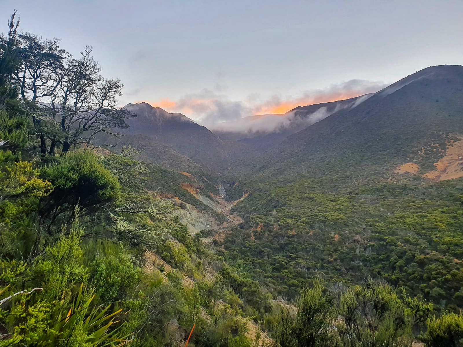
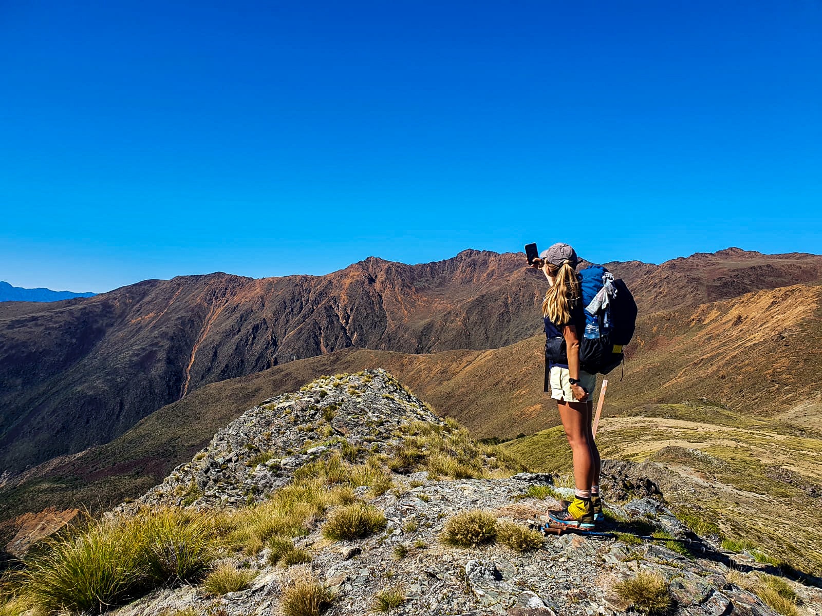
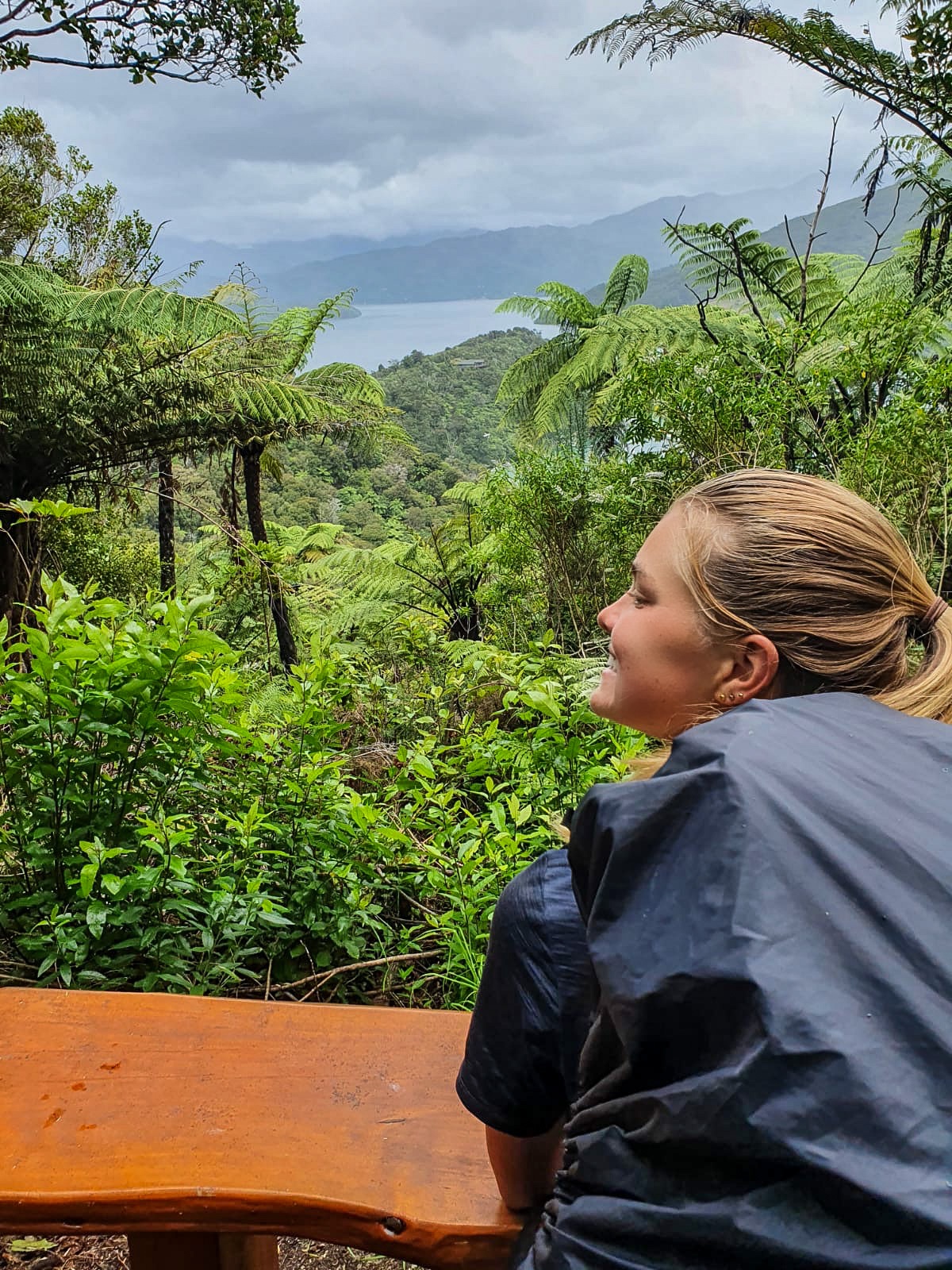
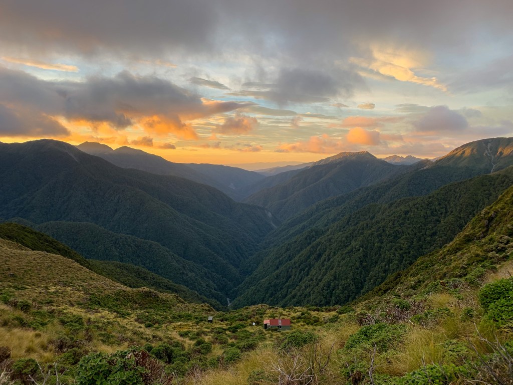
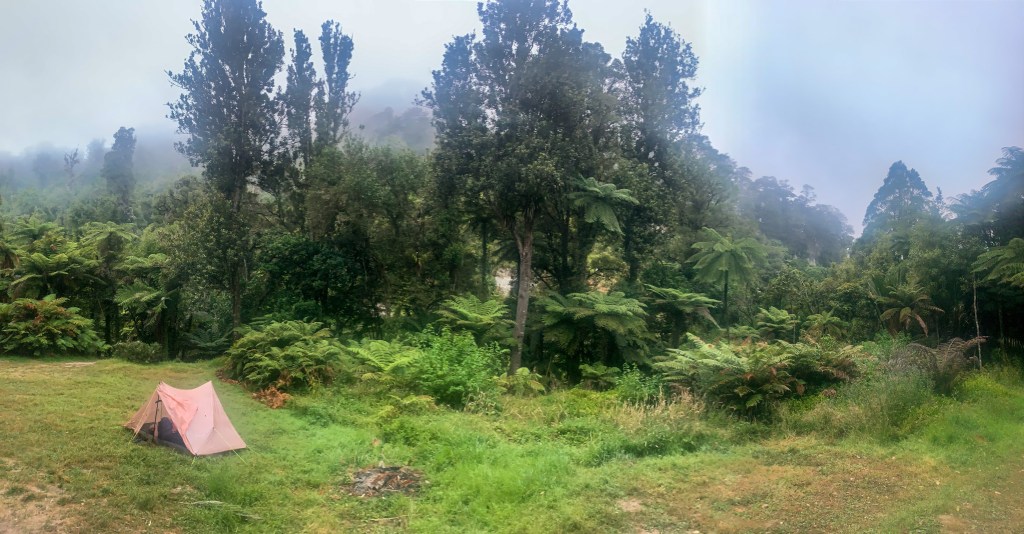
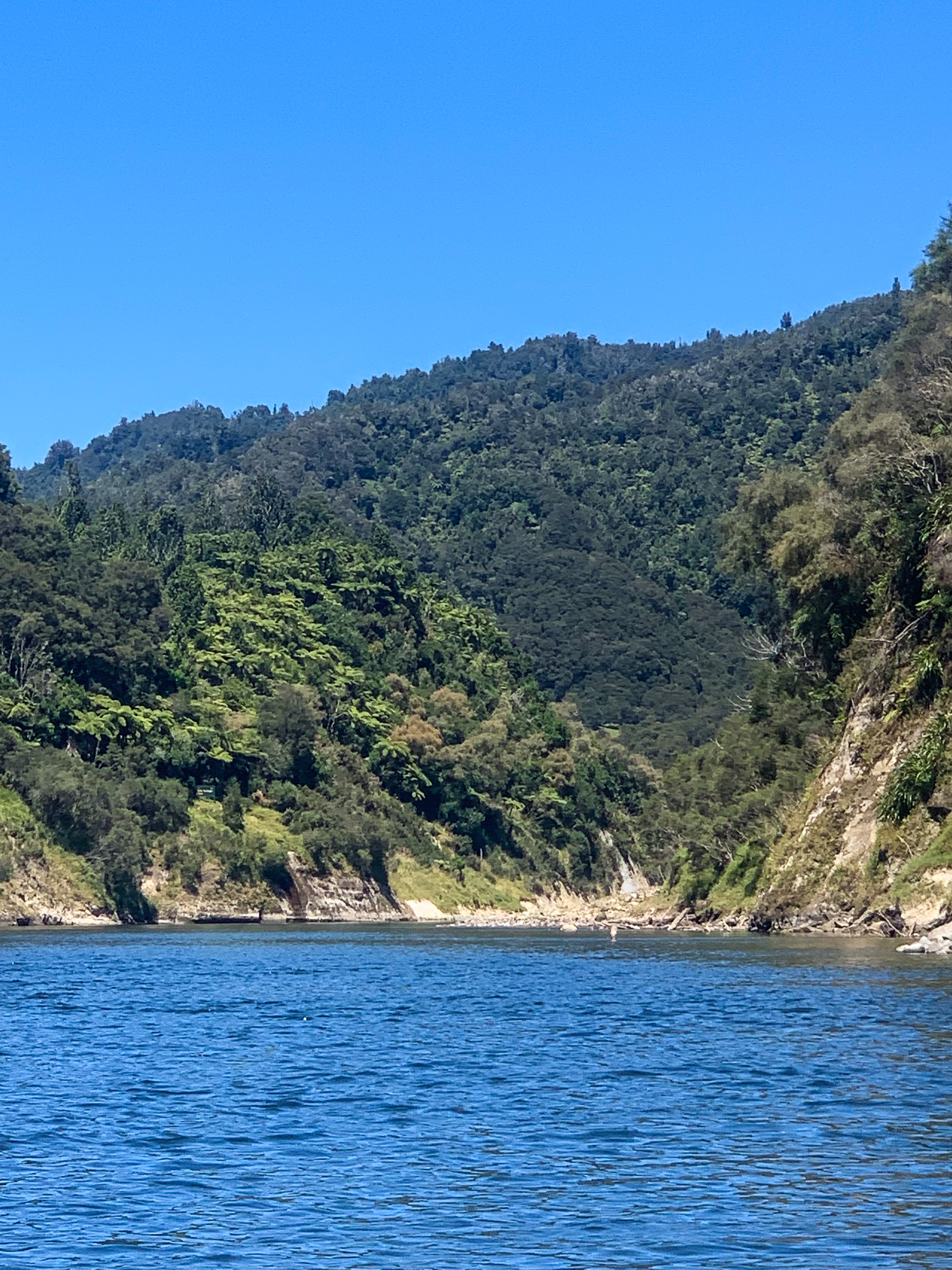
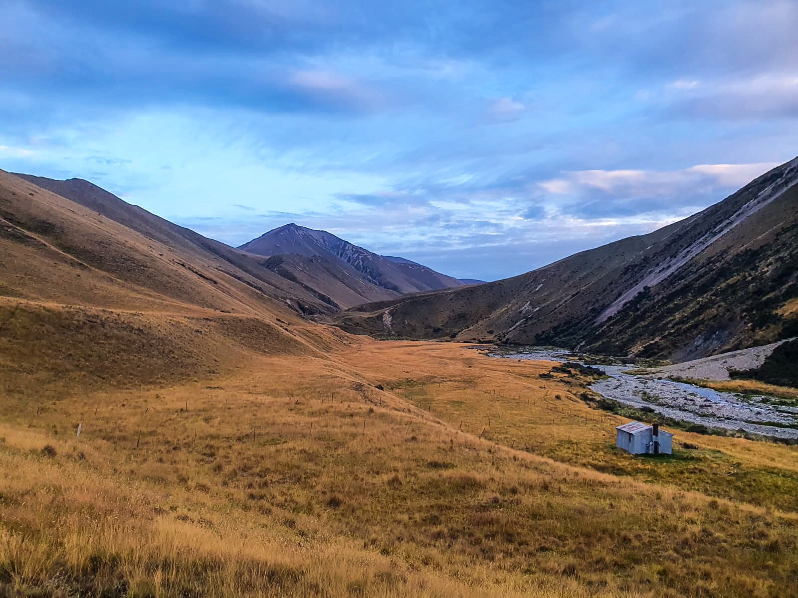
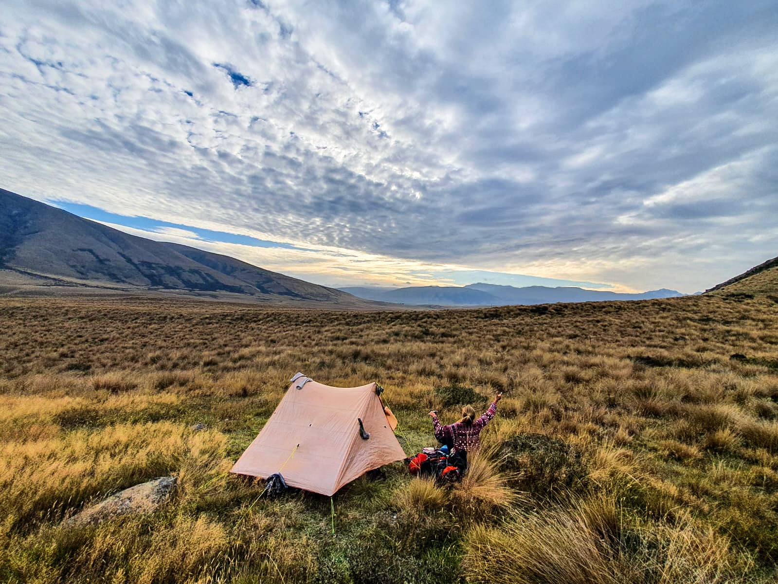
After passing Seagull and Manuka Lake we climbed up and over Mt Emily before setting up tent for the night with a magnificent view of her lake.

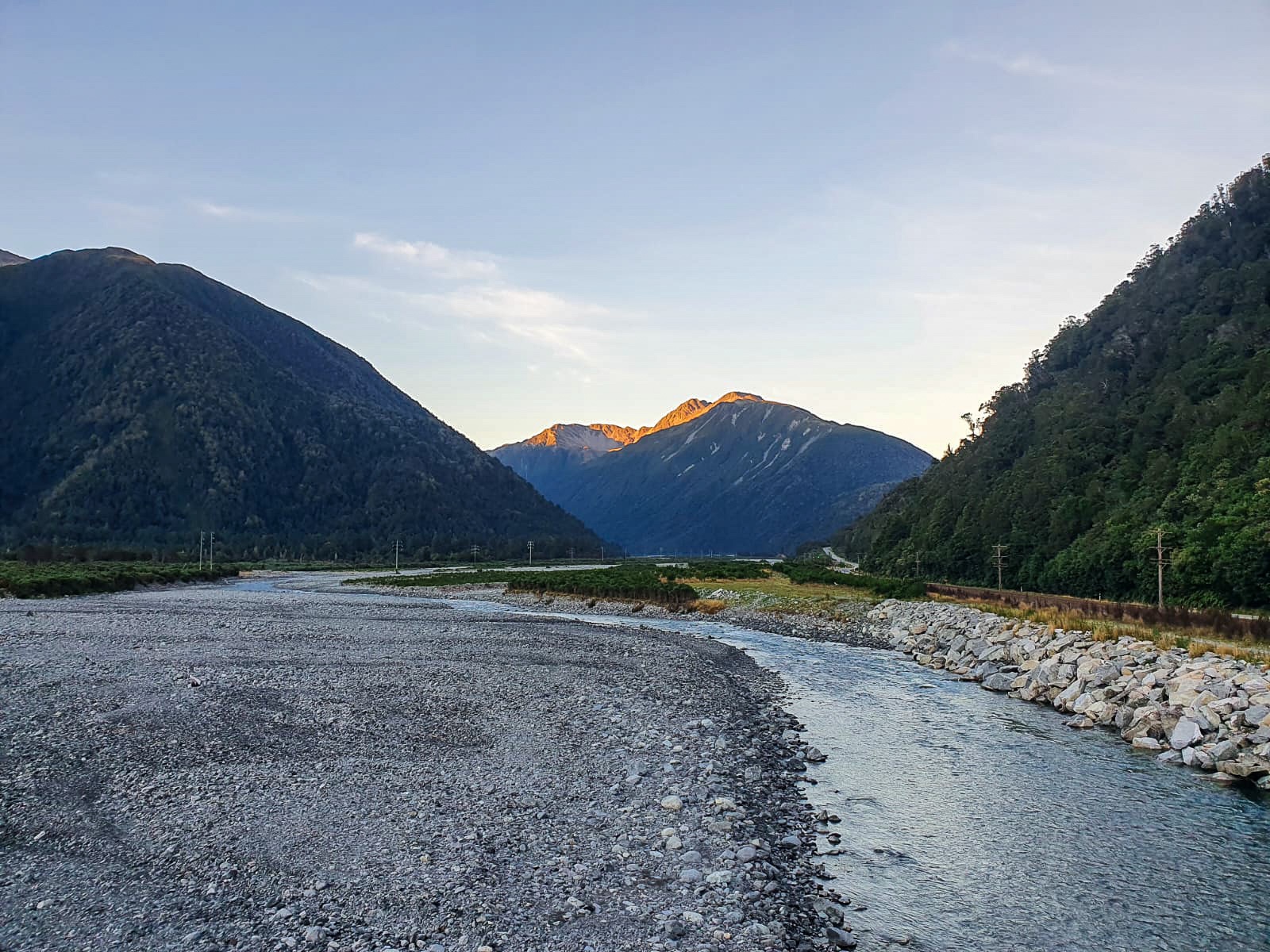
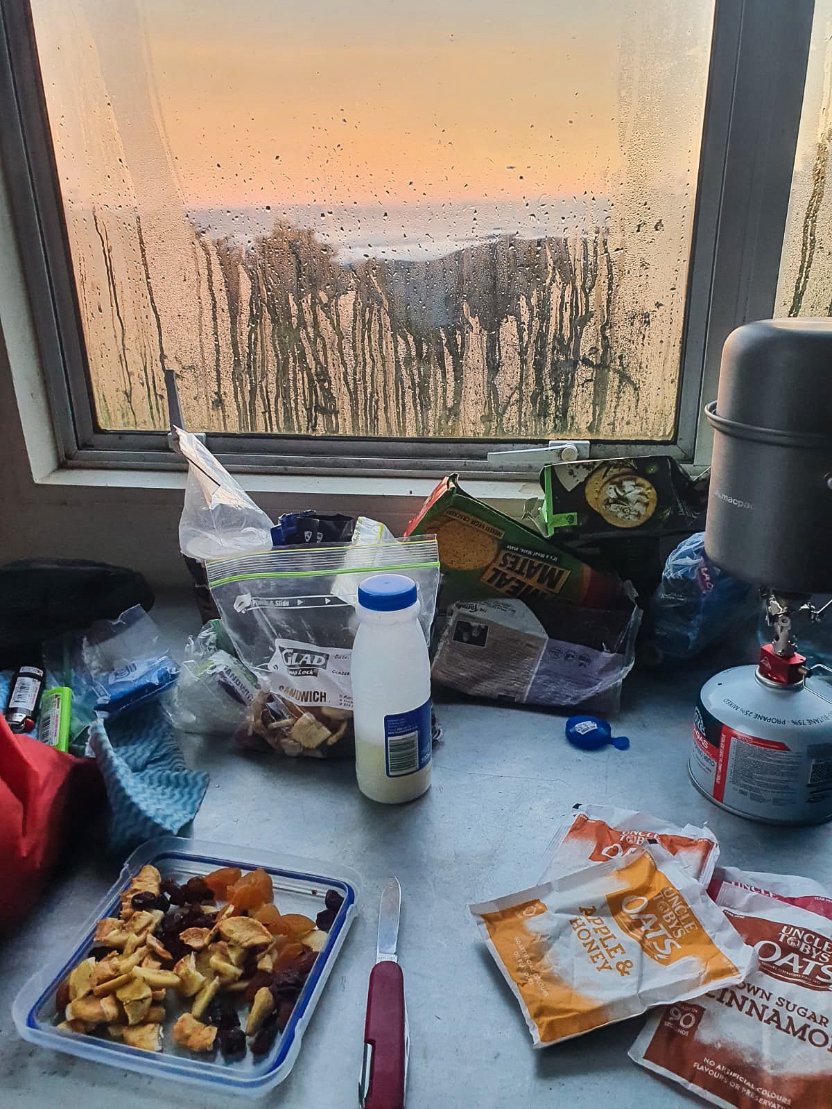
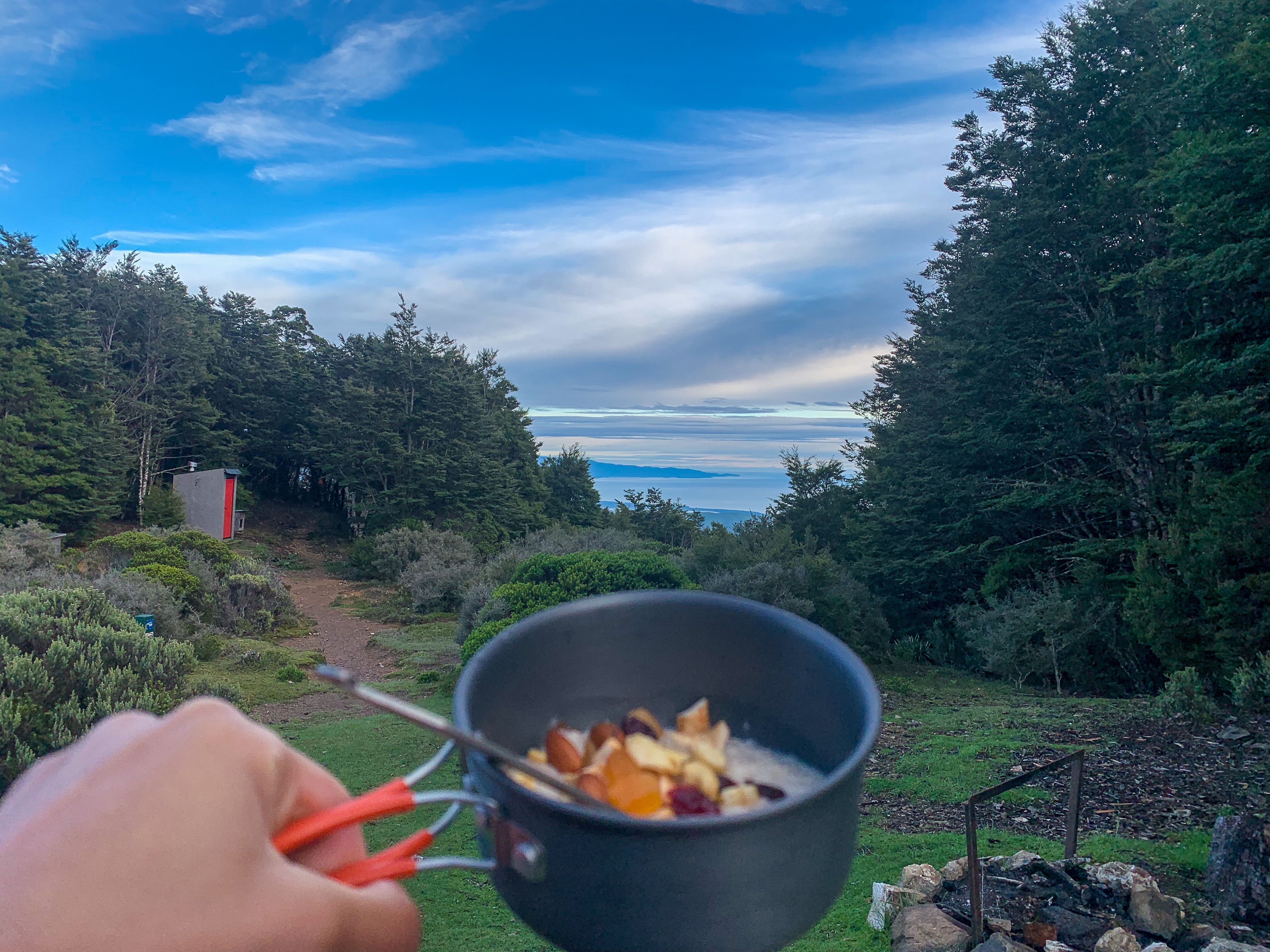
Awaking in the morning to low set fog hiding Lake Emily from view we ate porridge then set off for more lake sightings including Māori Lakes, Lake Camp and Lake Clearwater before finally making it to Mt Potts and the Rangitata River for our next shuttle.

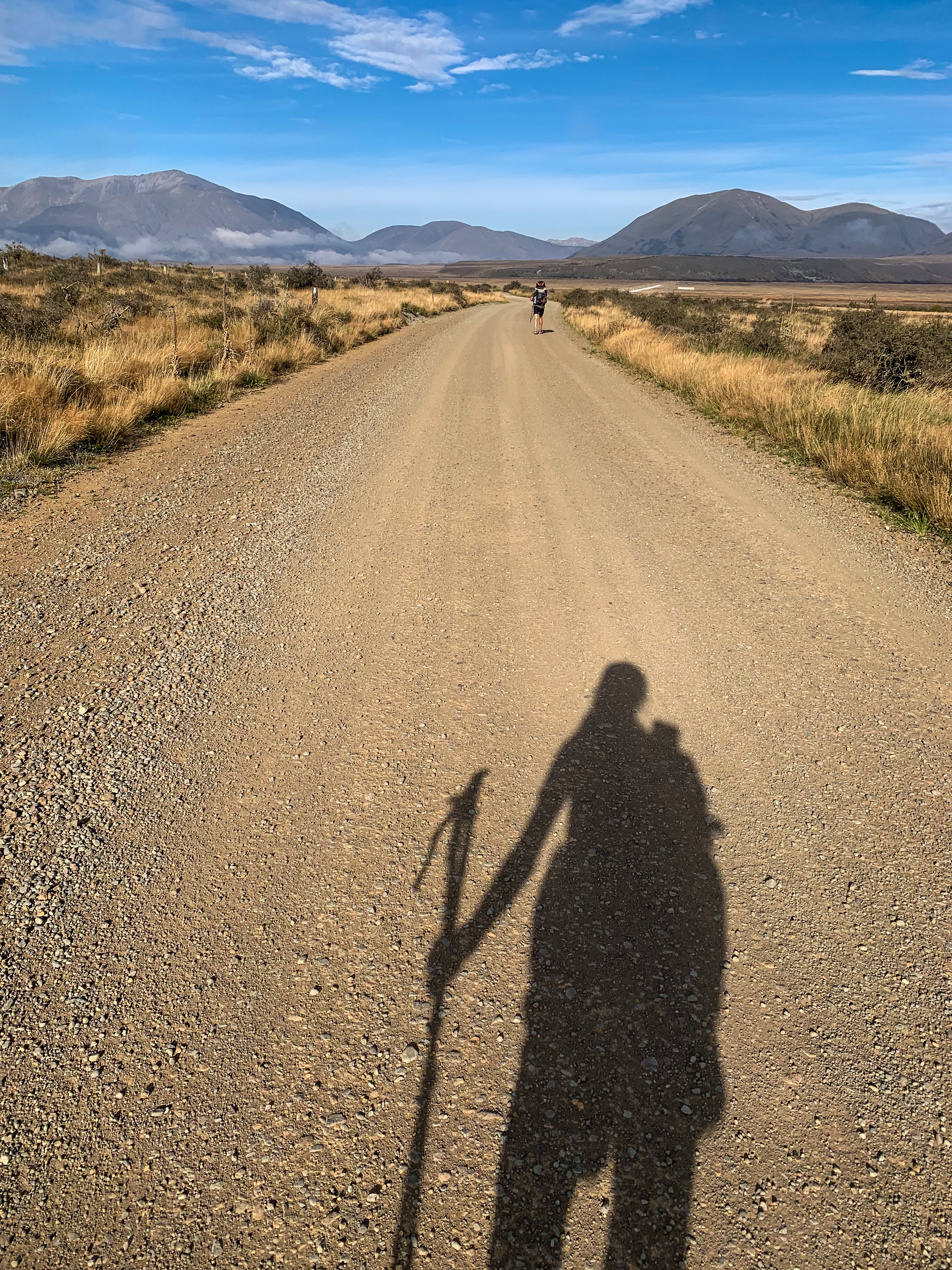
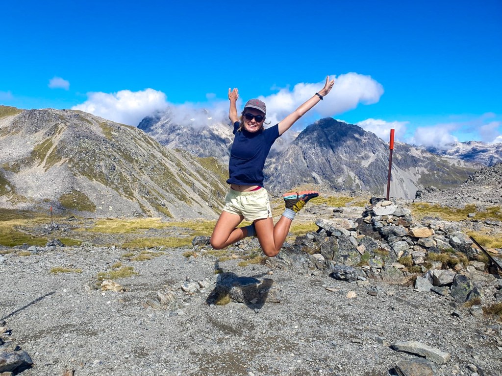
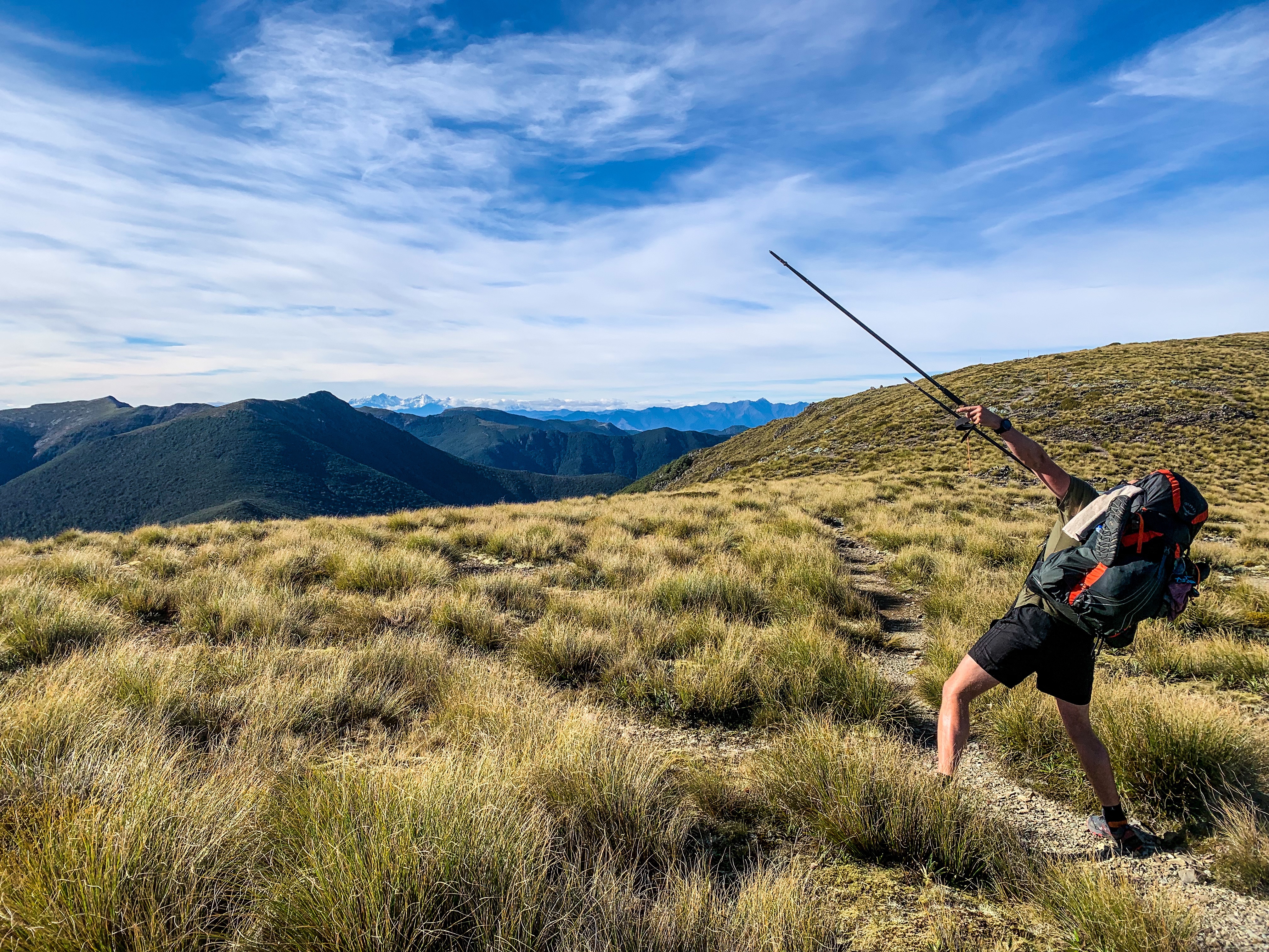
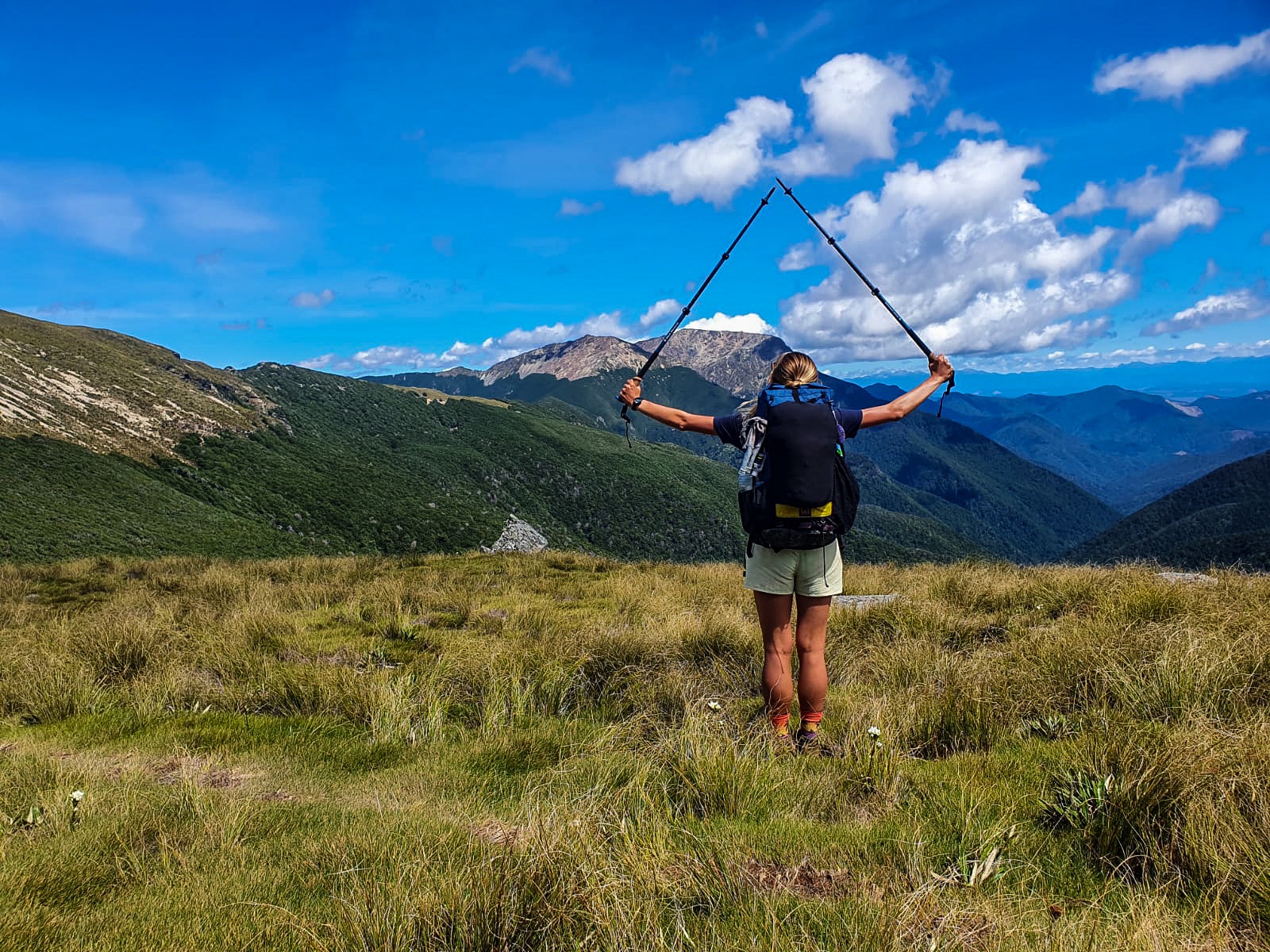
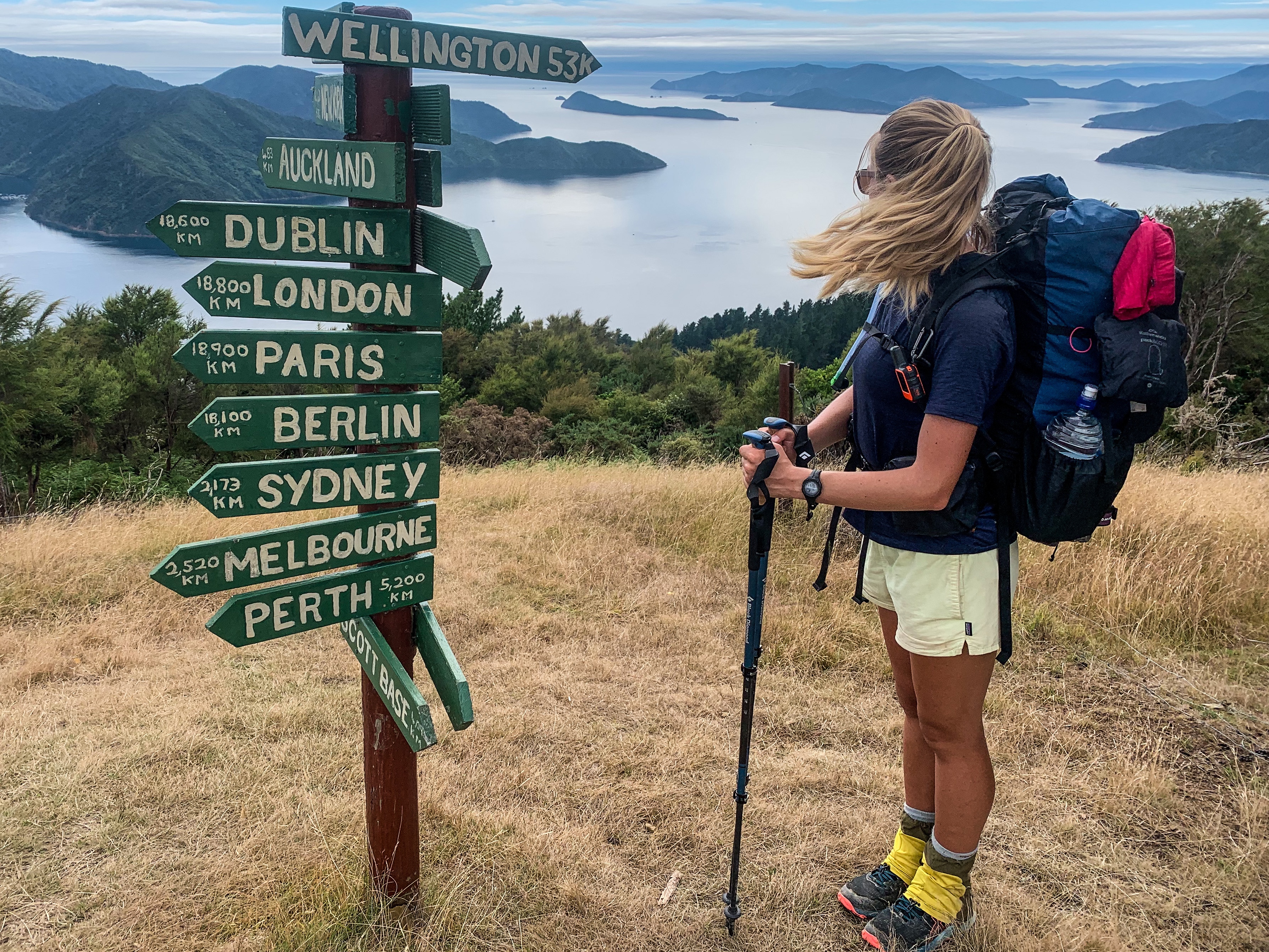
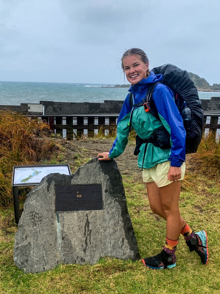
Trot trot trot… getting closer to Bluff with each step!
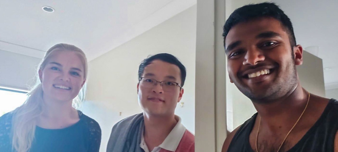
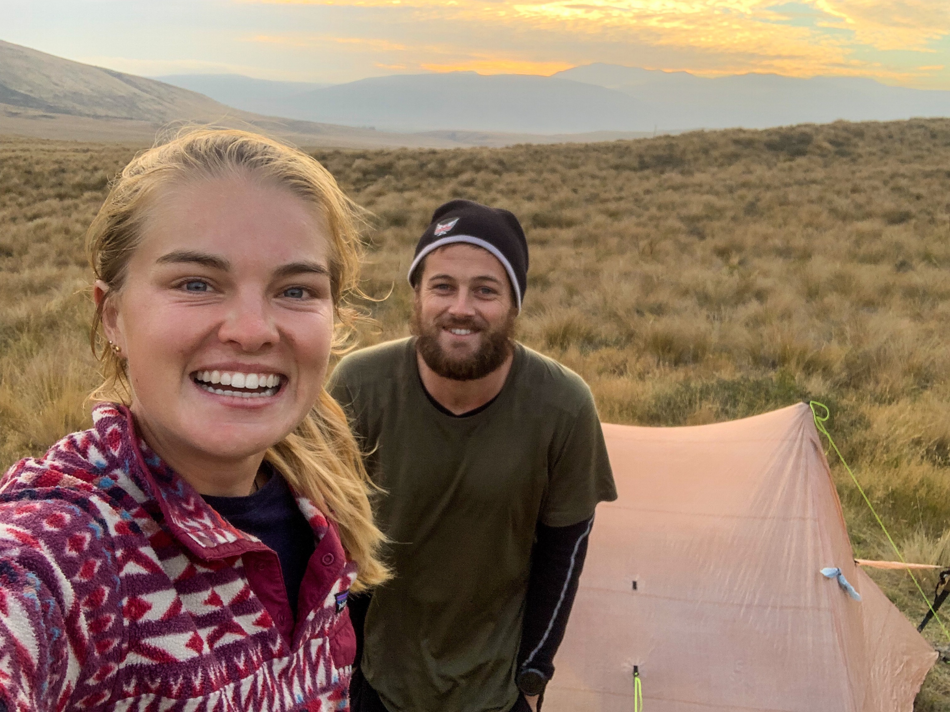
Oh and extra thanks to Darren, Mike and the three lovely individuals who picked us up on our bypassing adventure. Otherwise we would probably still be trotting the 90+ kilometres around the river to Geraldine.