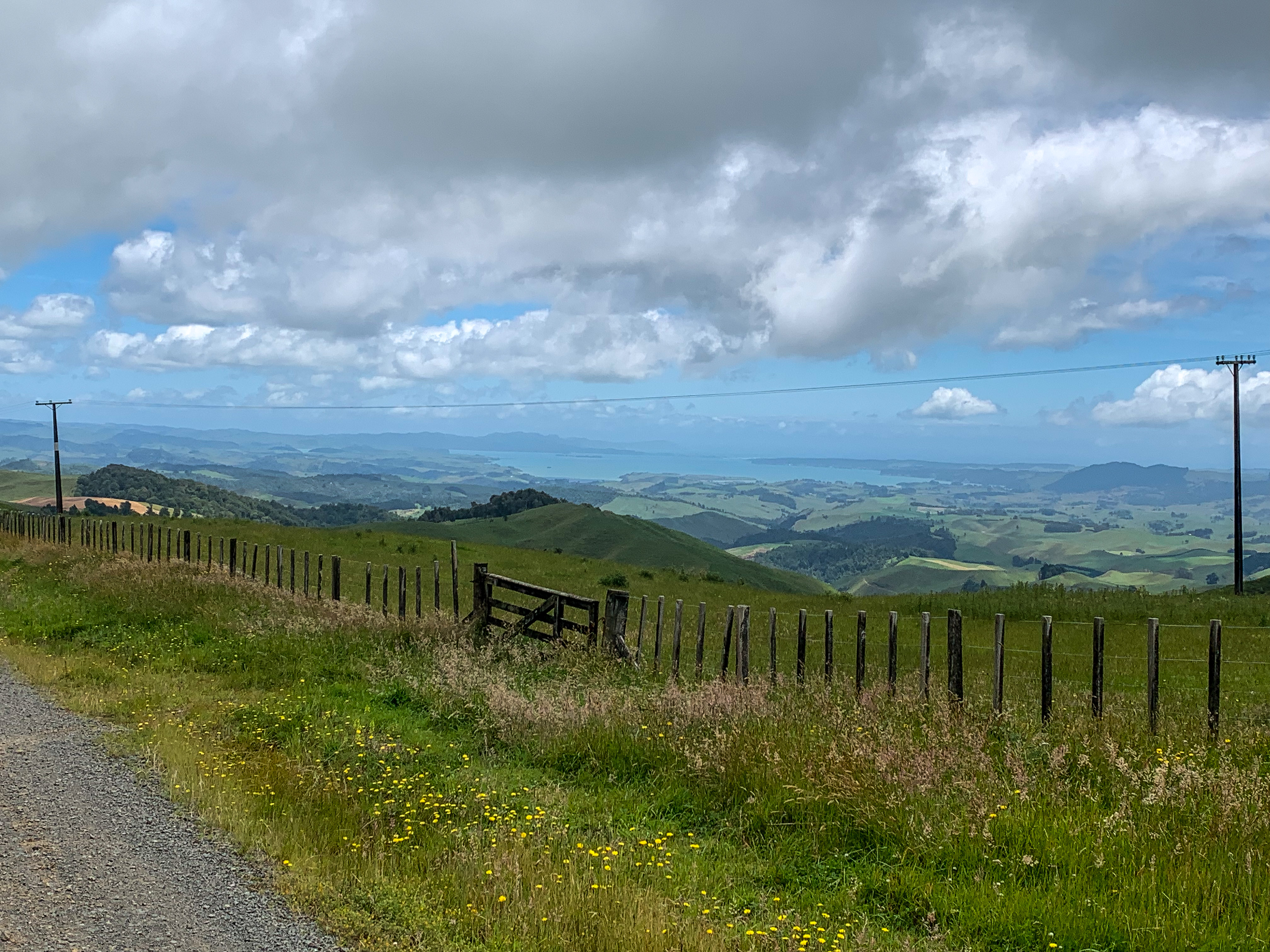
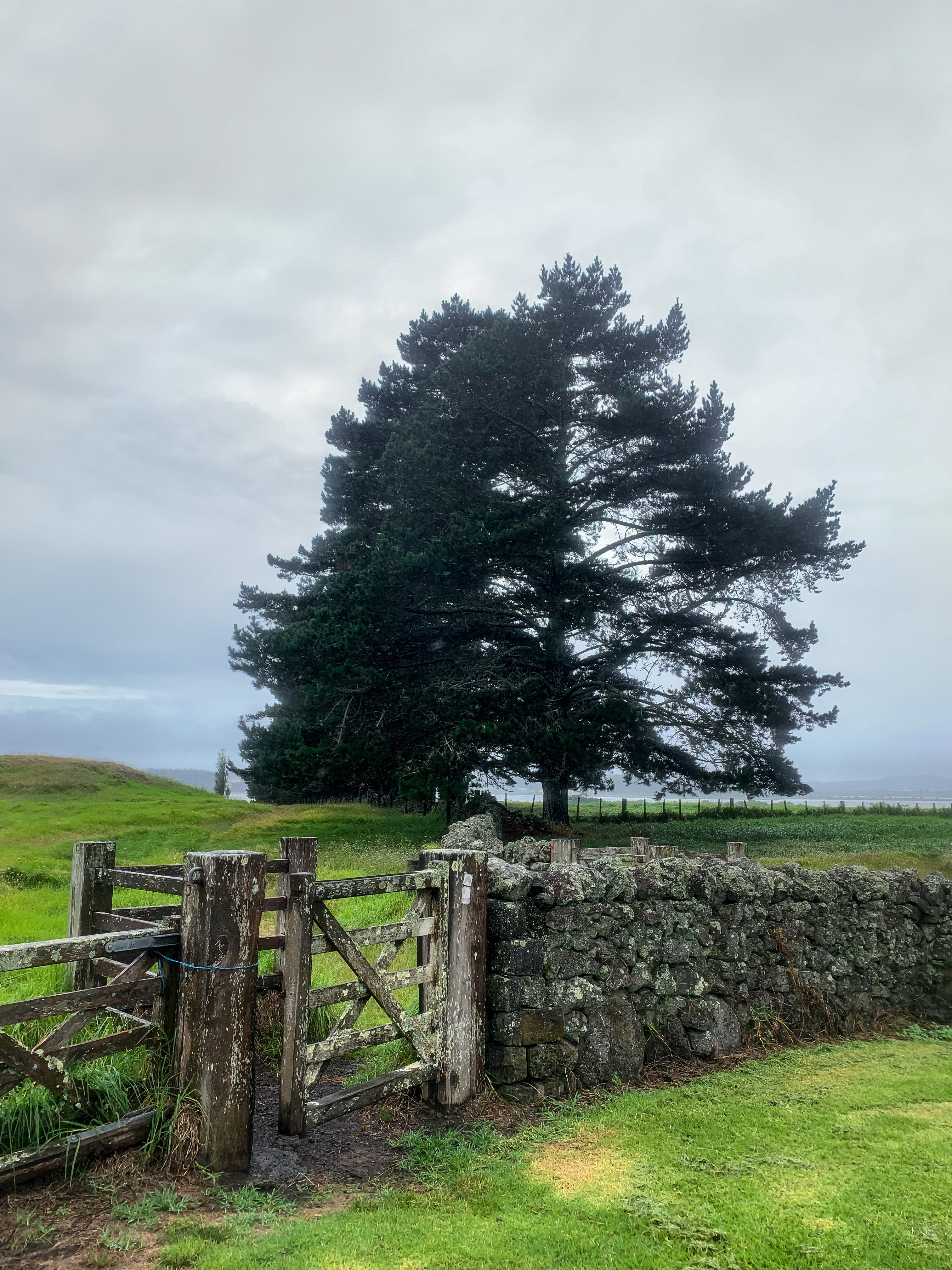
On approaching National Park I was a day ahead of schedule which normally would be great, but when you’ve already booked the canoe hire and your paddle buddy only has set time off work any change in schedule isn’t ideal.
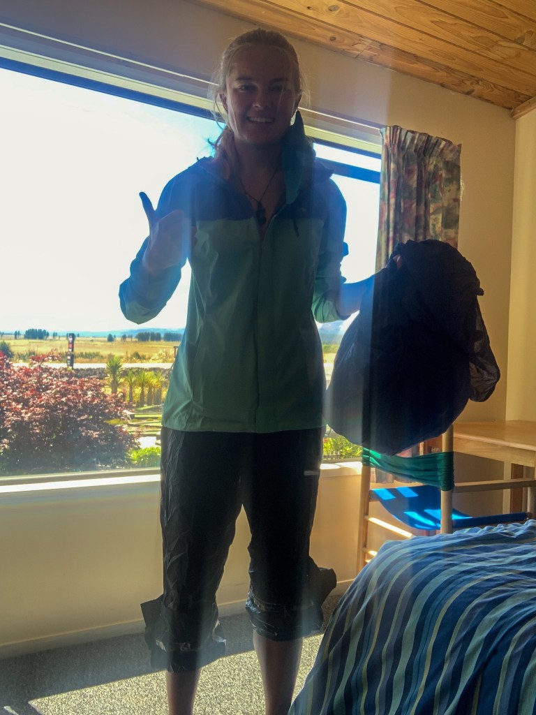
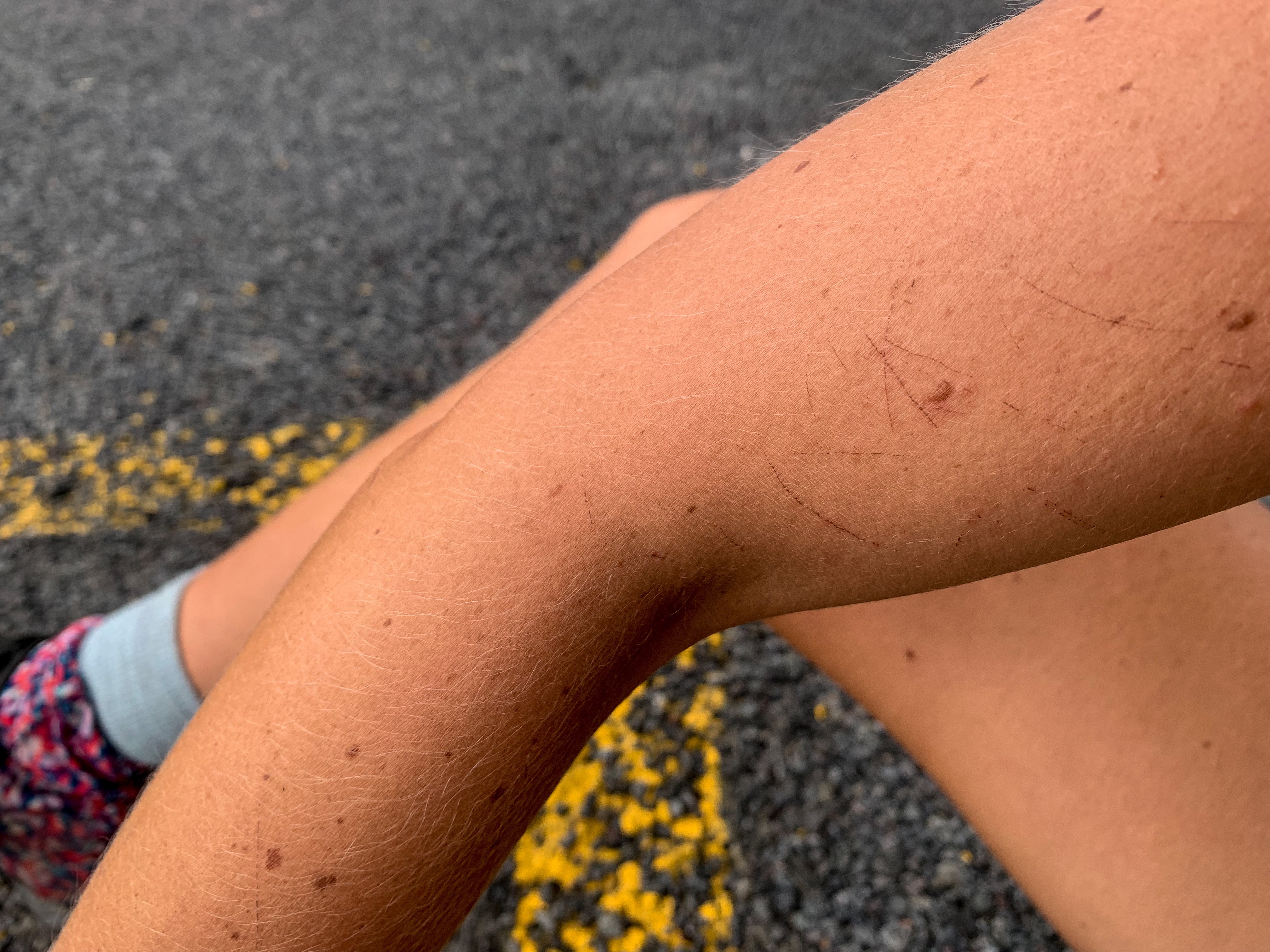
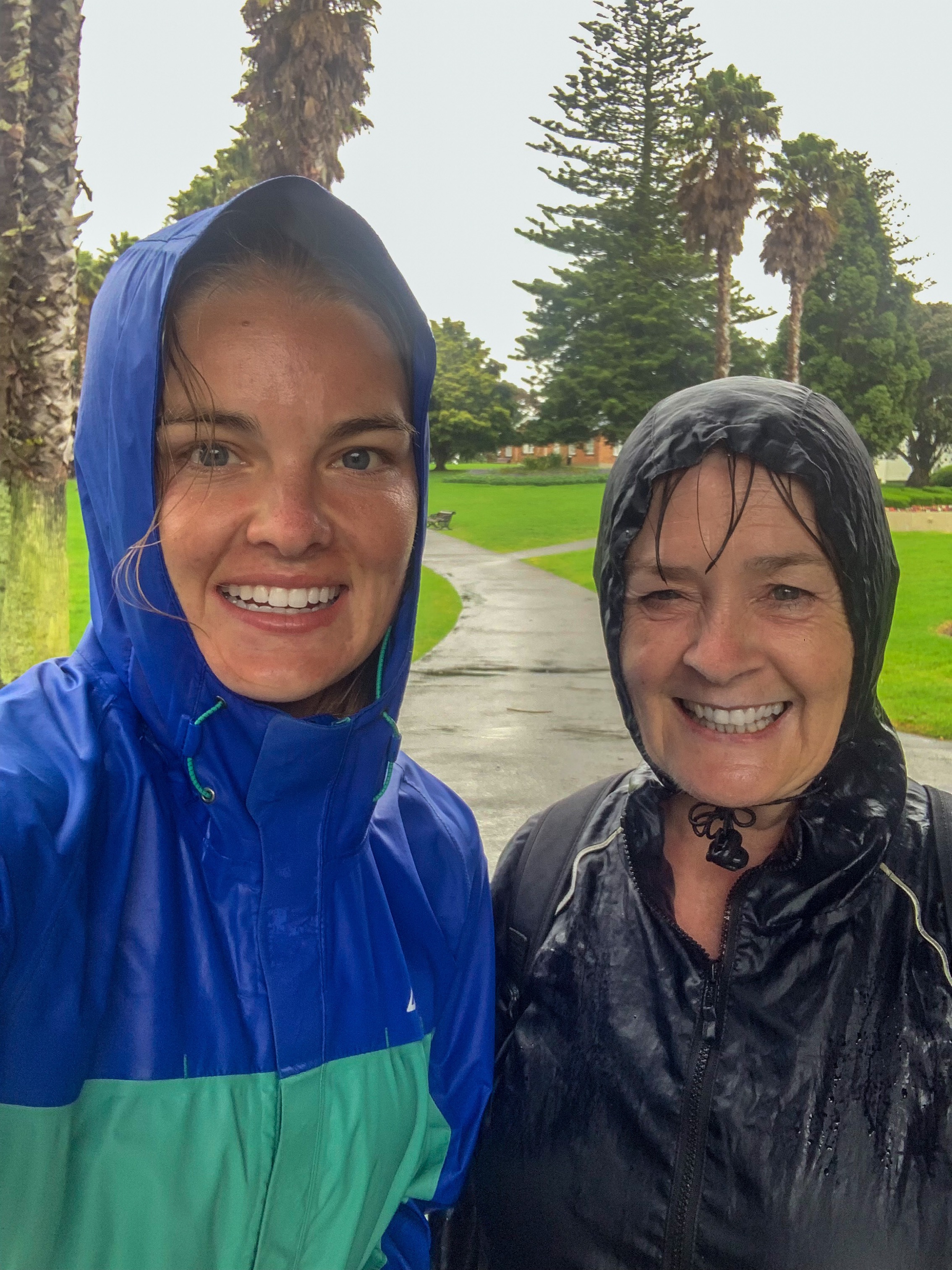
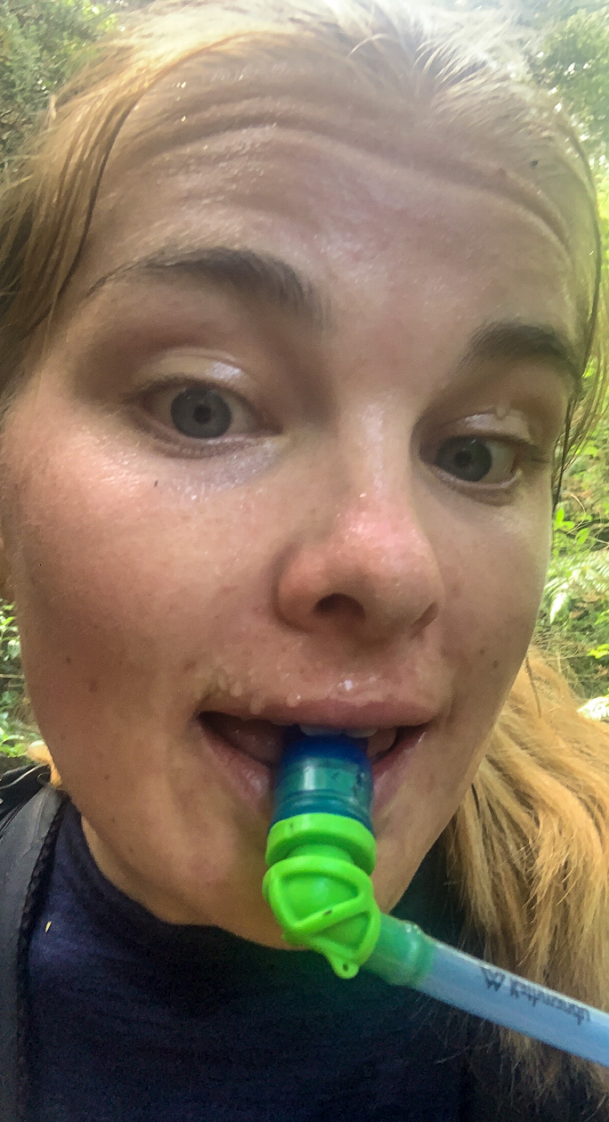
Laundry chic 😛
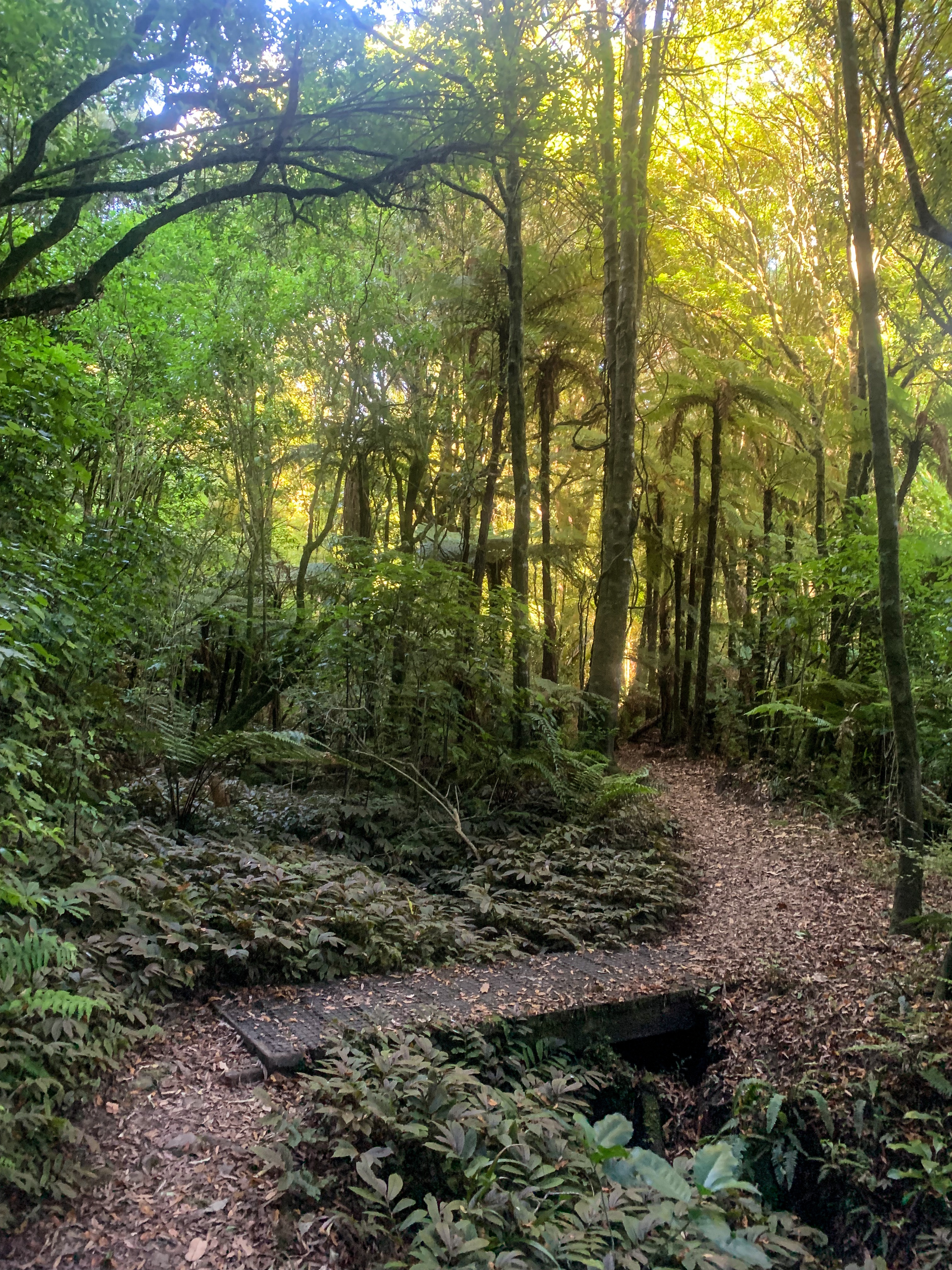
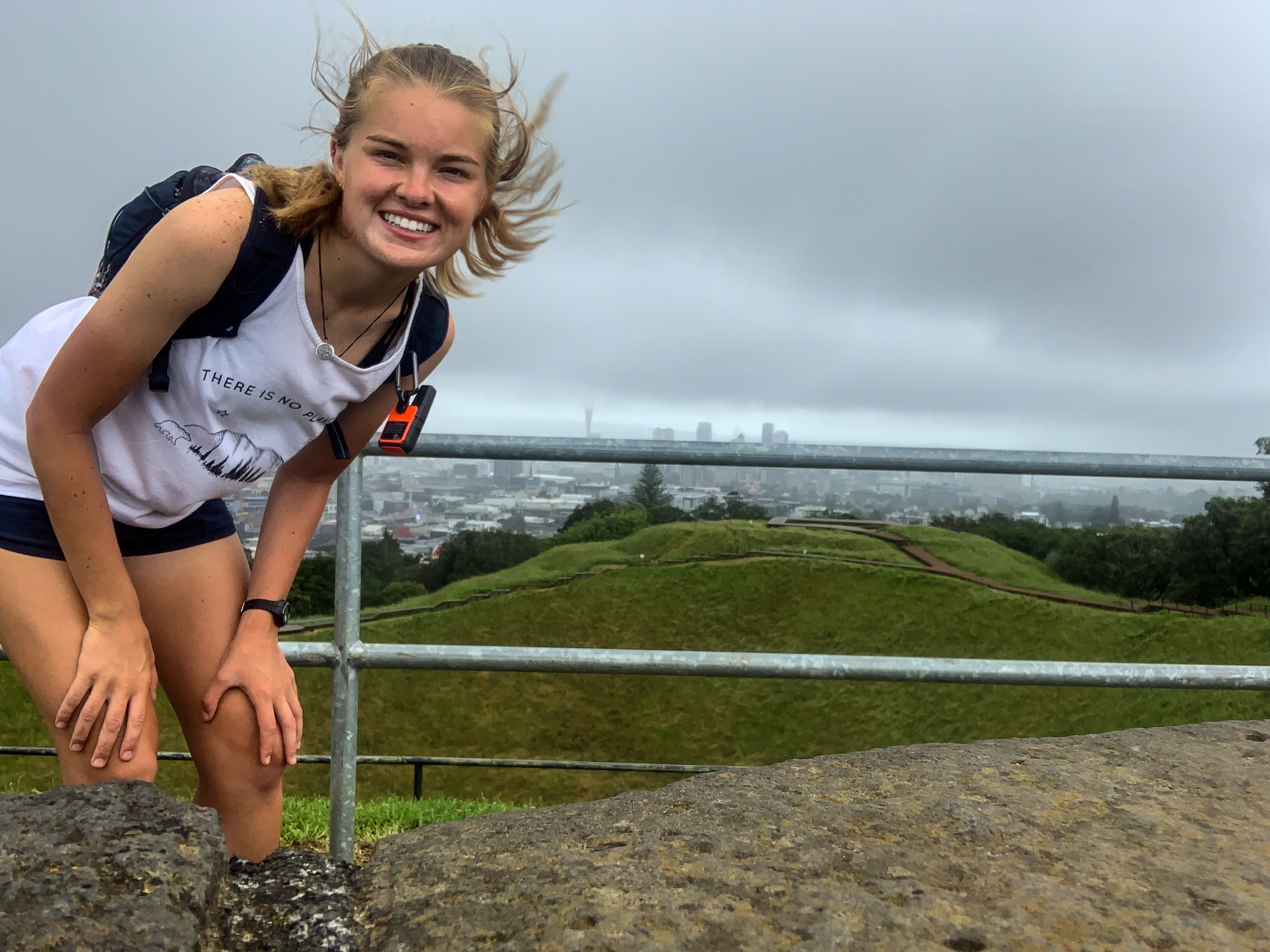
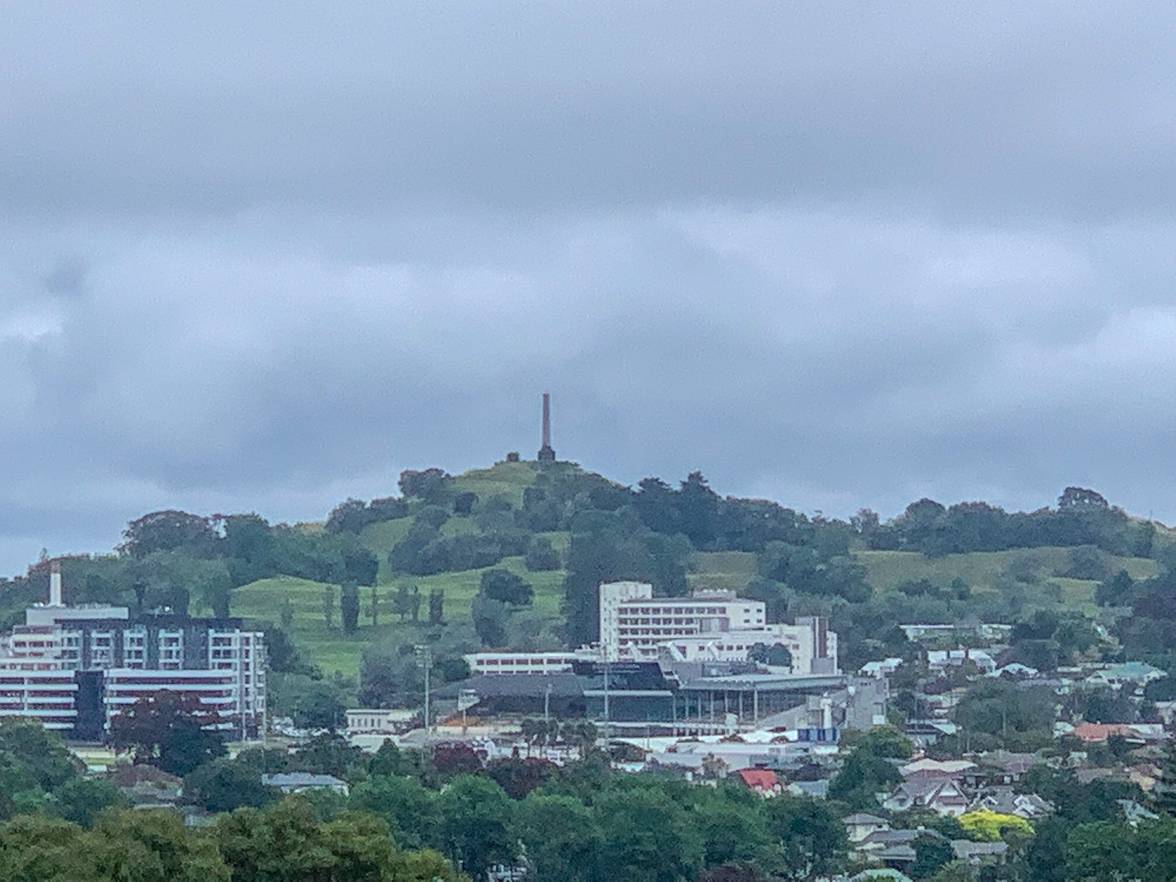
After a ‘rest day’ in National Park where I lapped the streets in search of free WI-FI, sweated in my rain outfit while the laundry was on, resupplied at a gas station and did anything but rest I was ready to set off to Whakahoro.
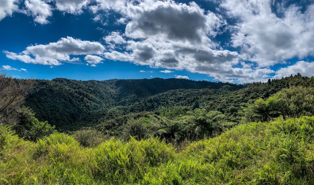
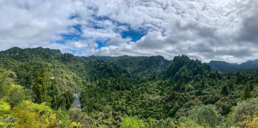
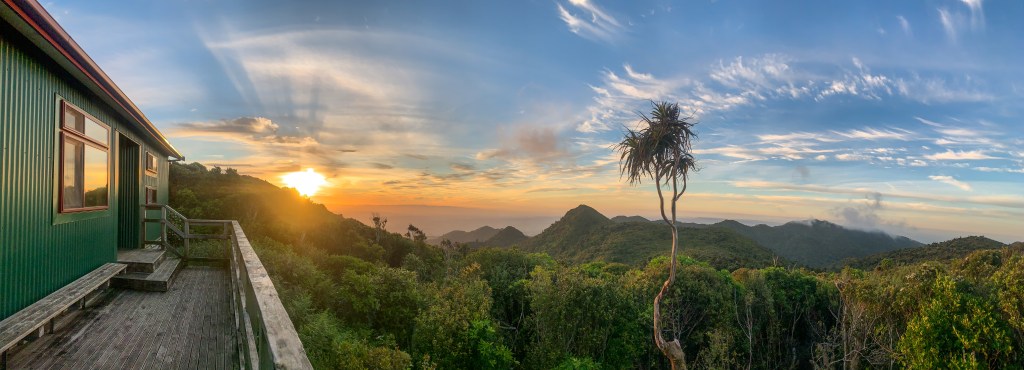
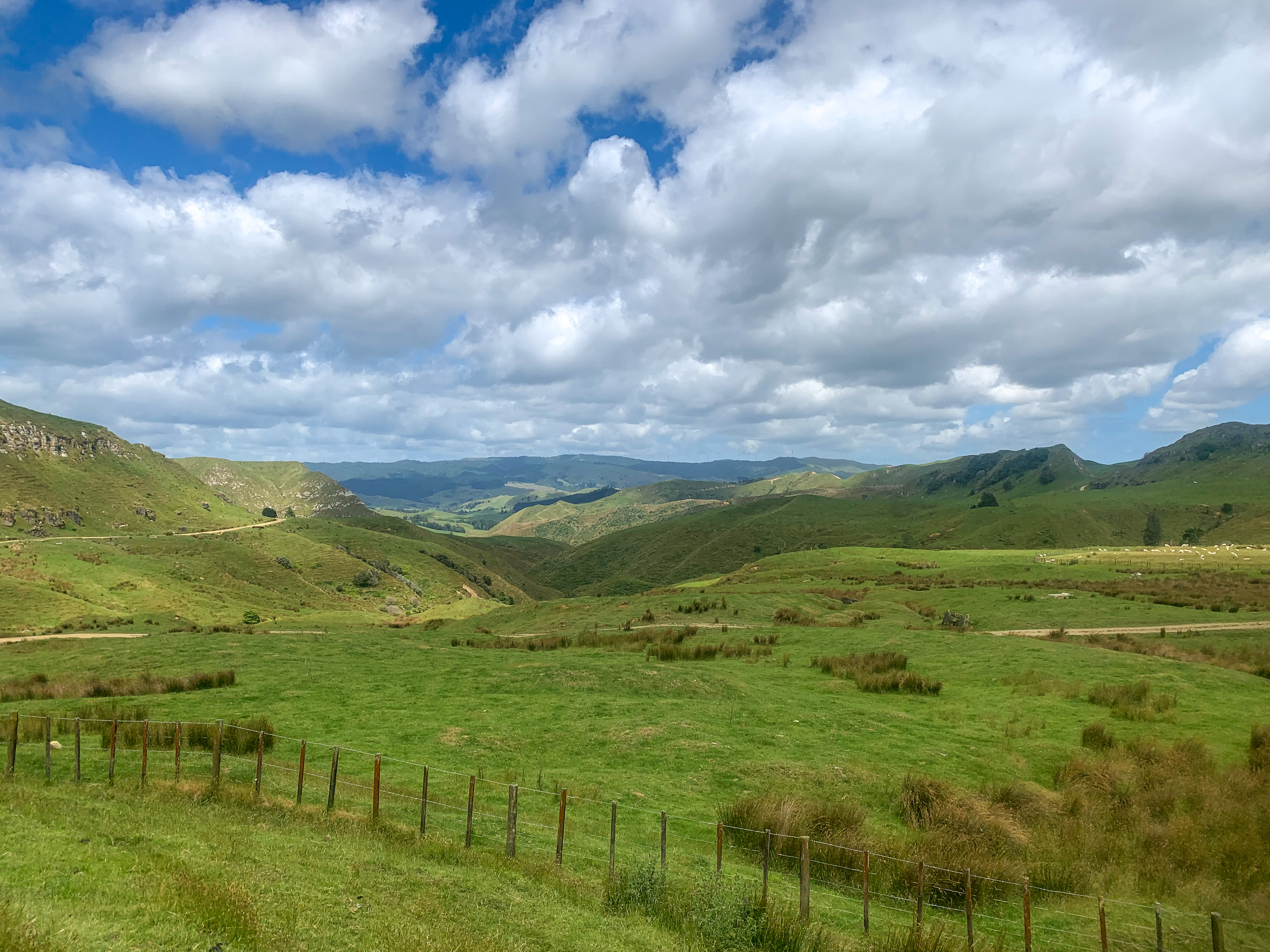
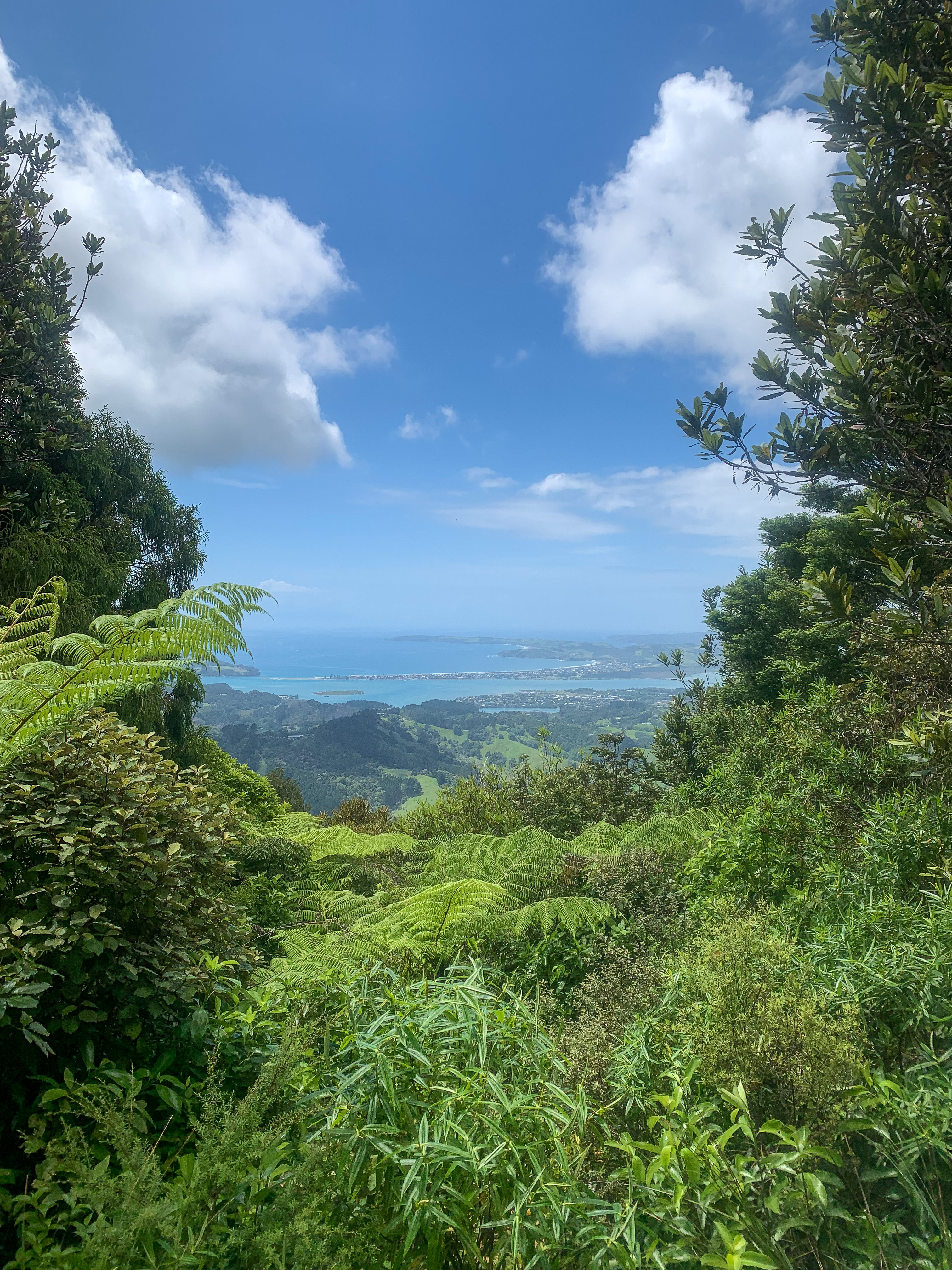
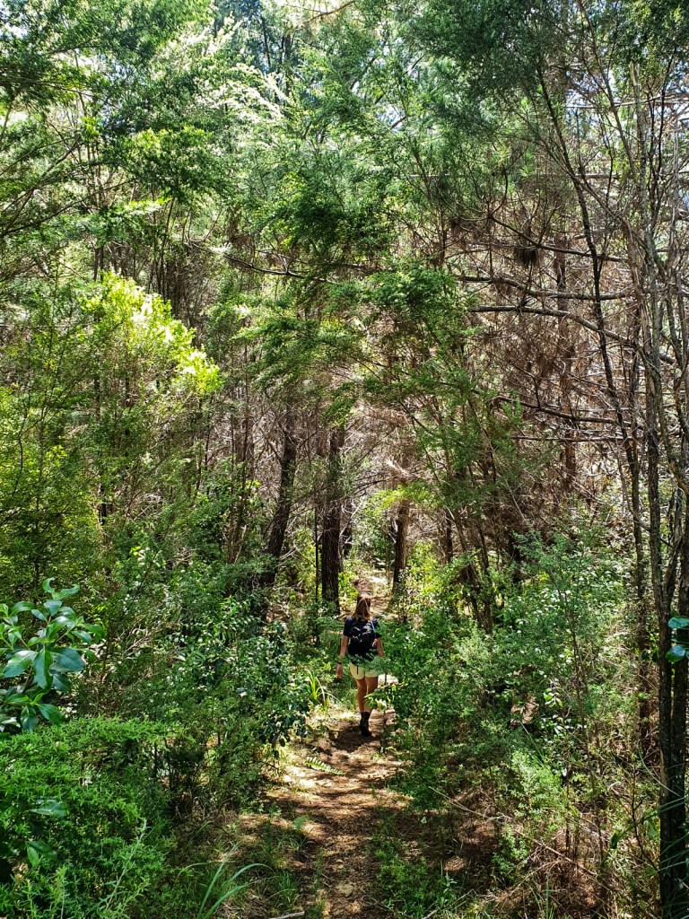
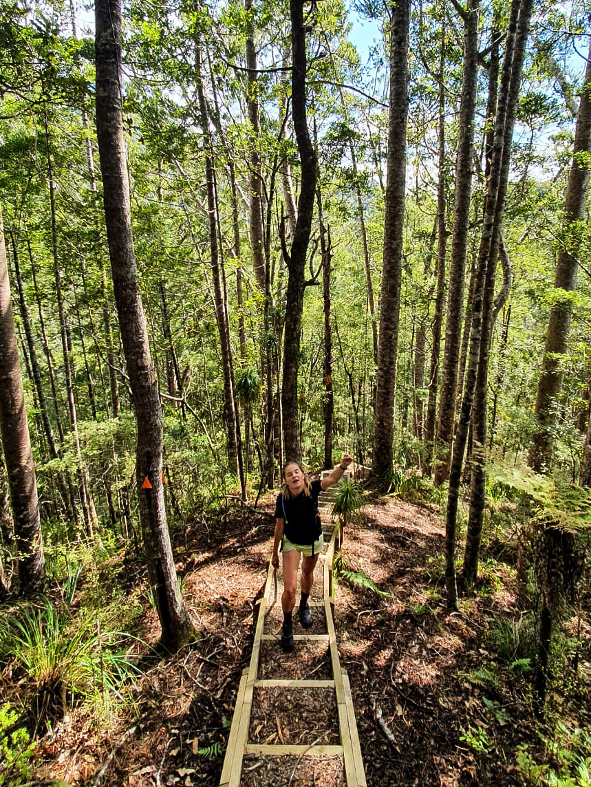
Views from Fisher Track
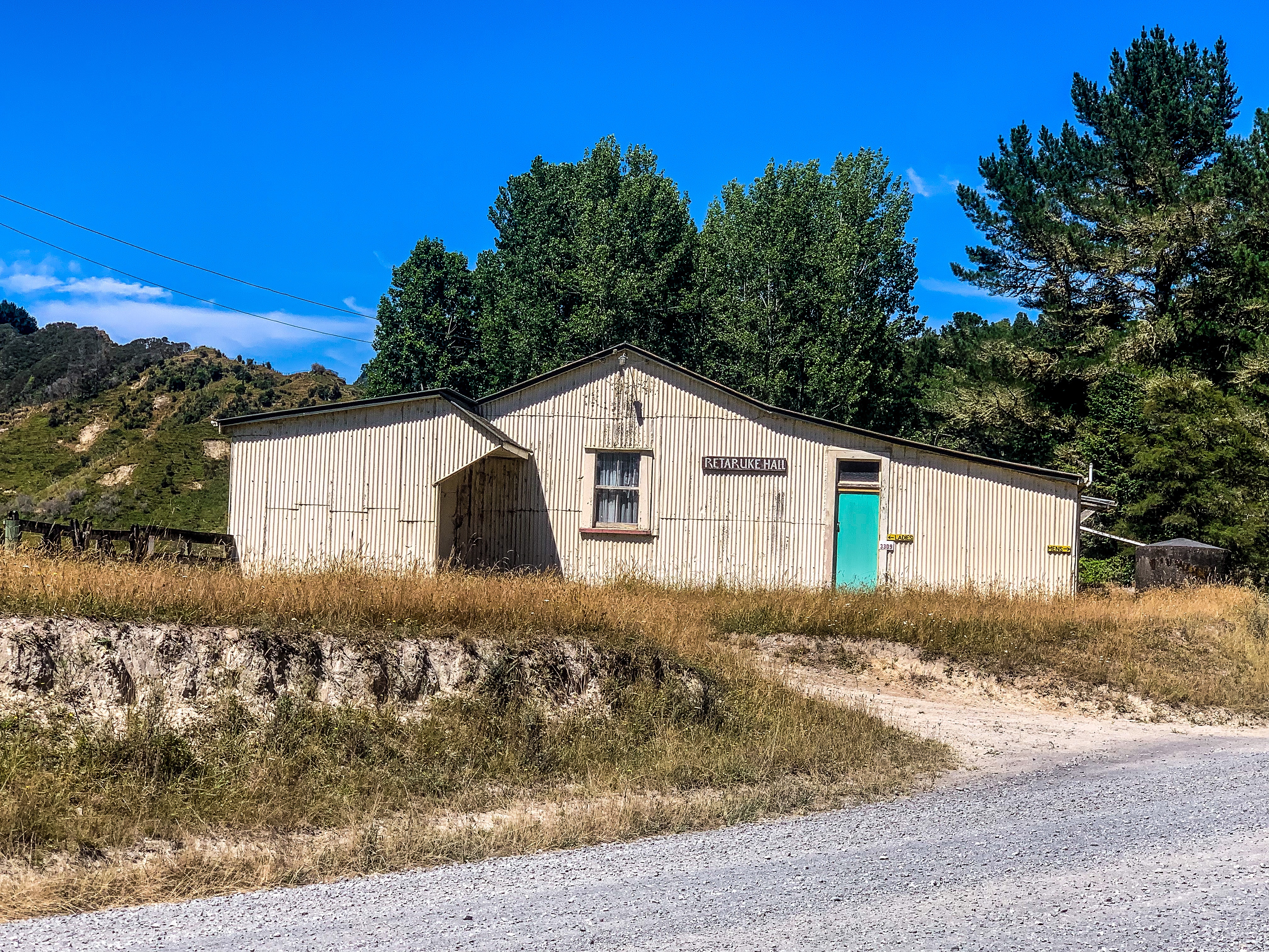
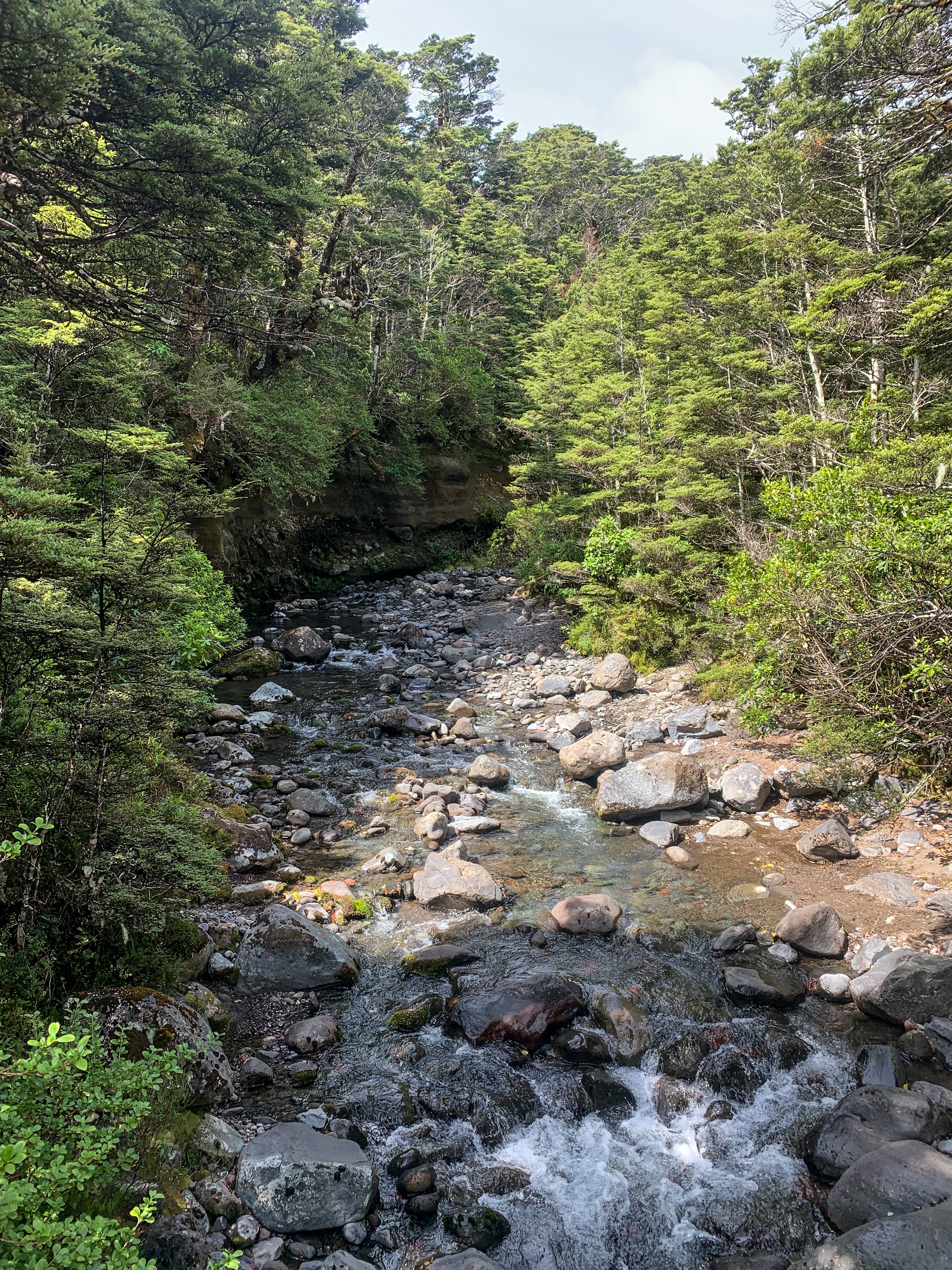
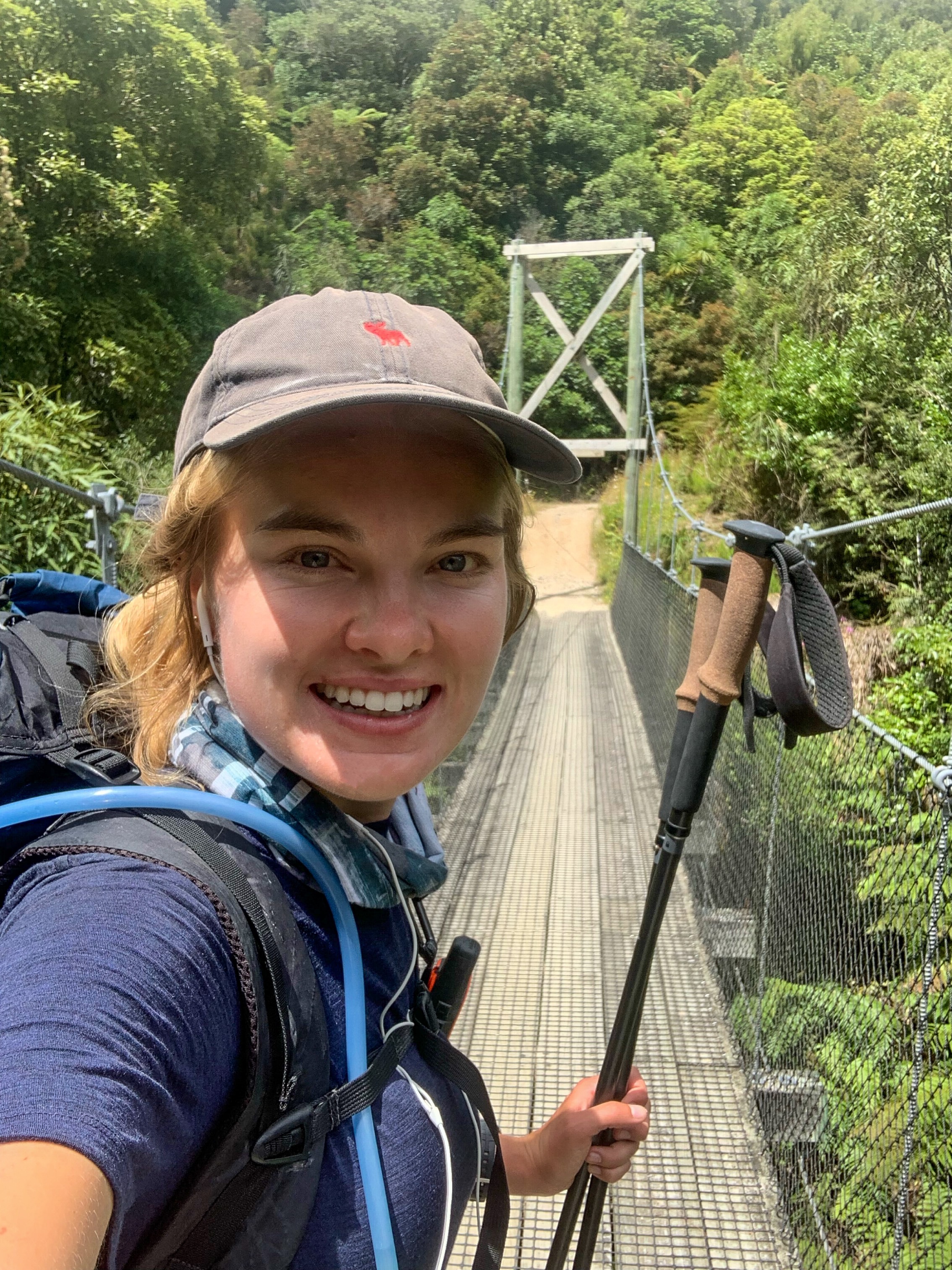
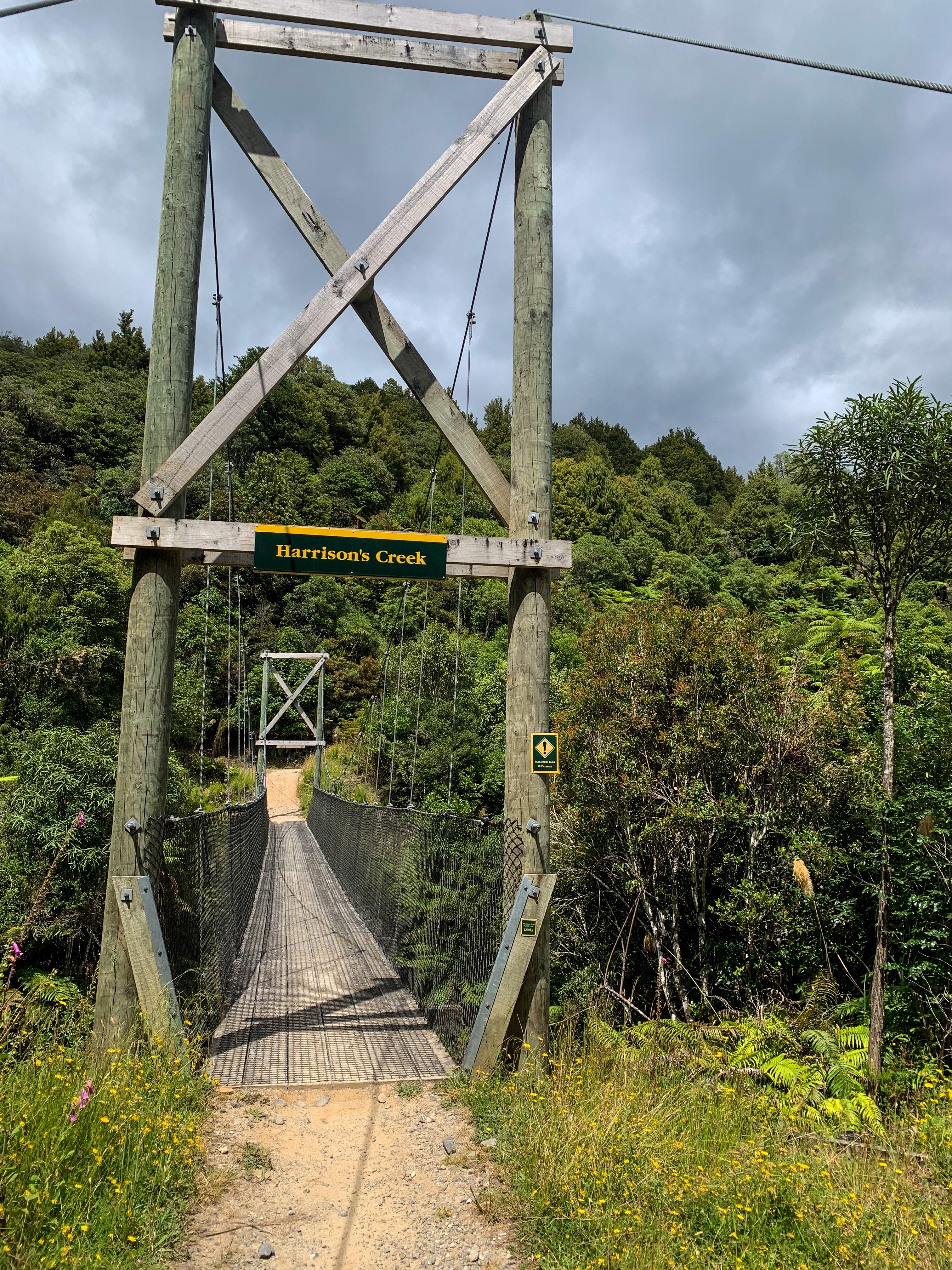
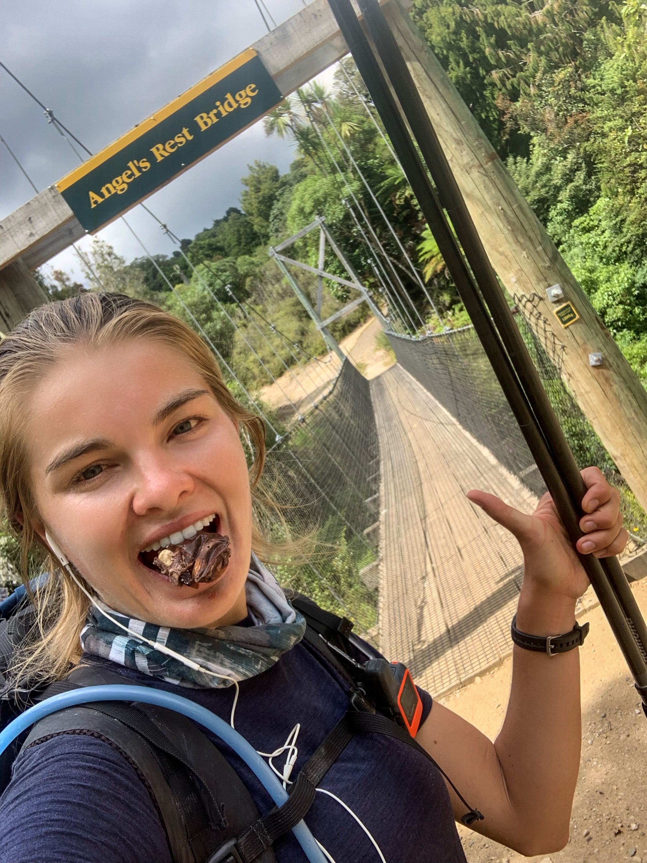
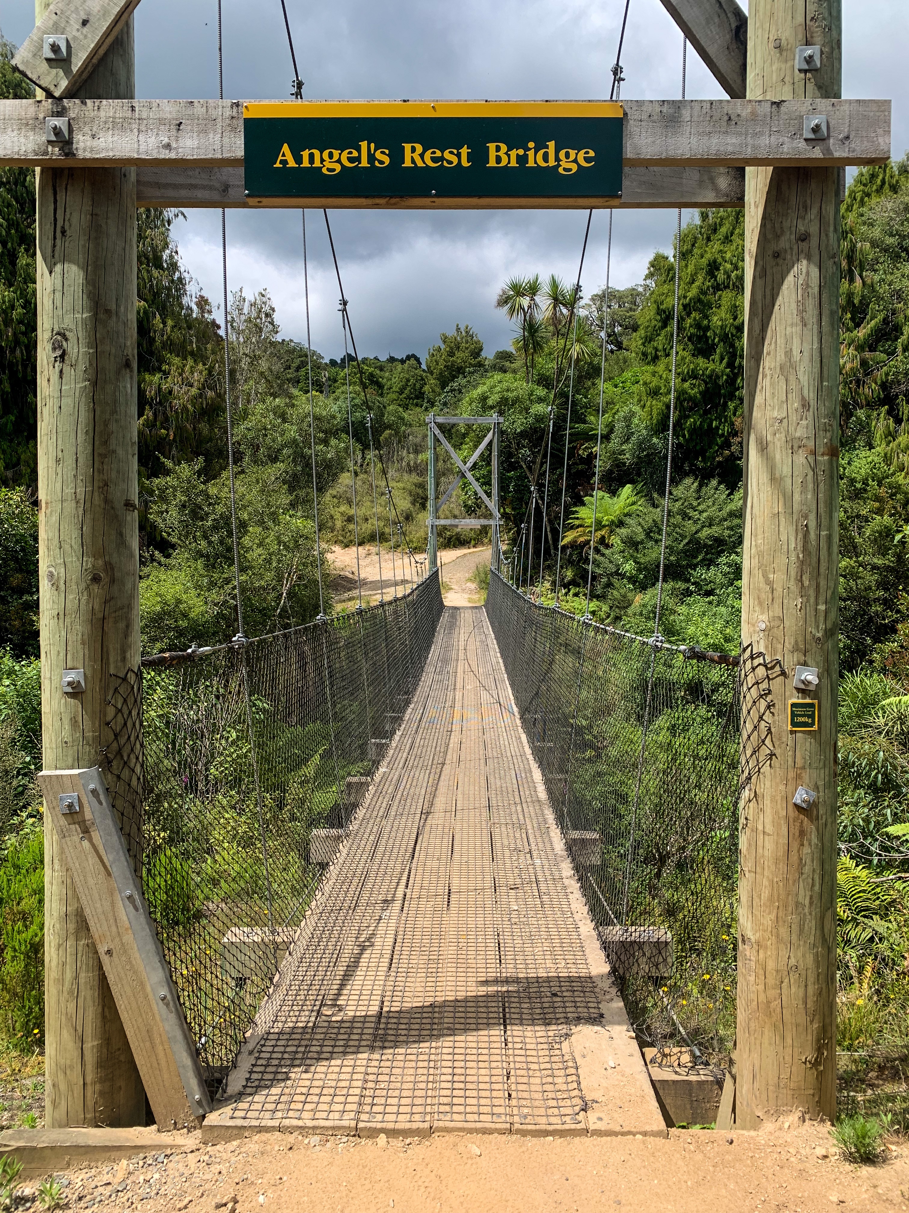
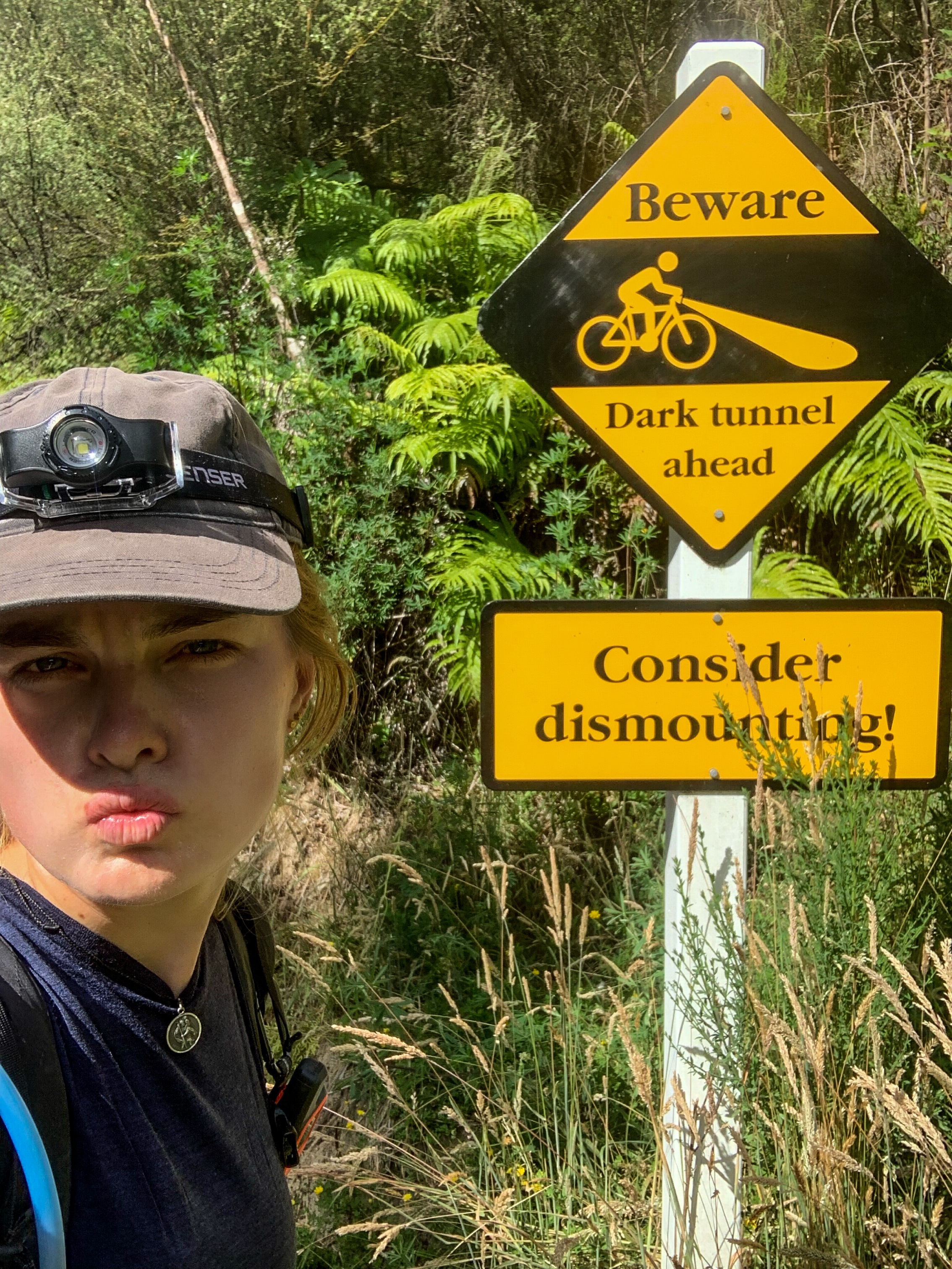
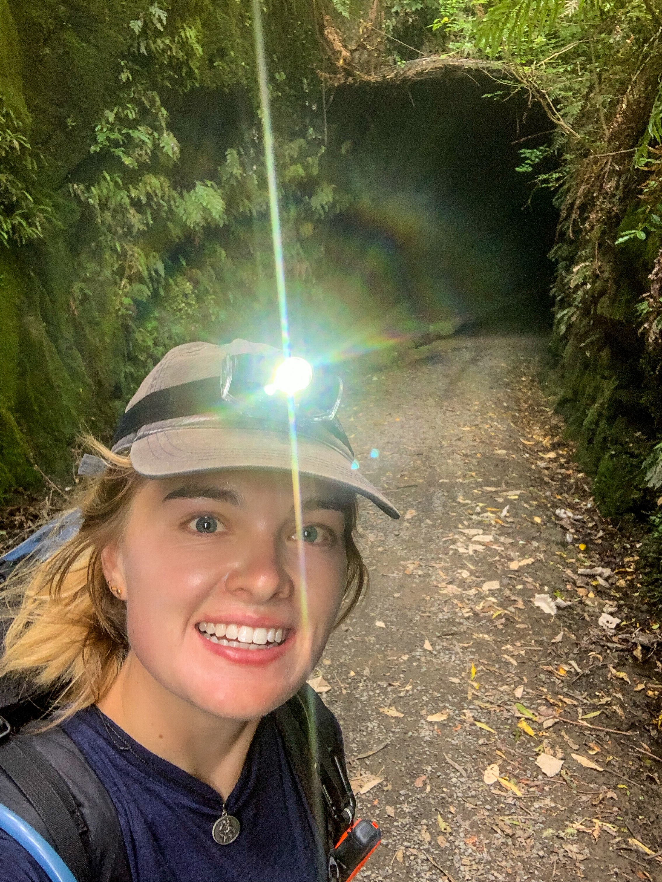
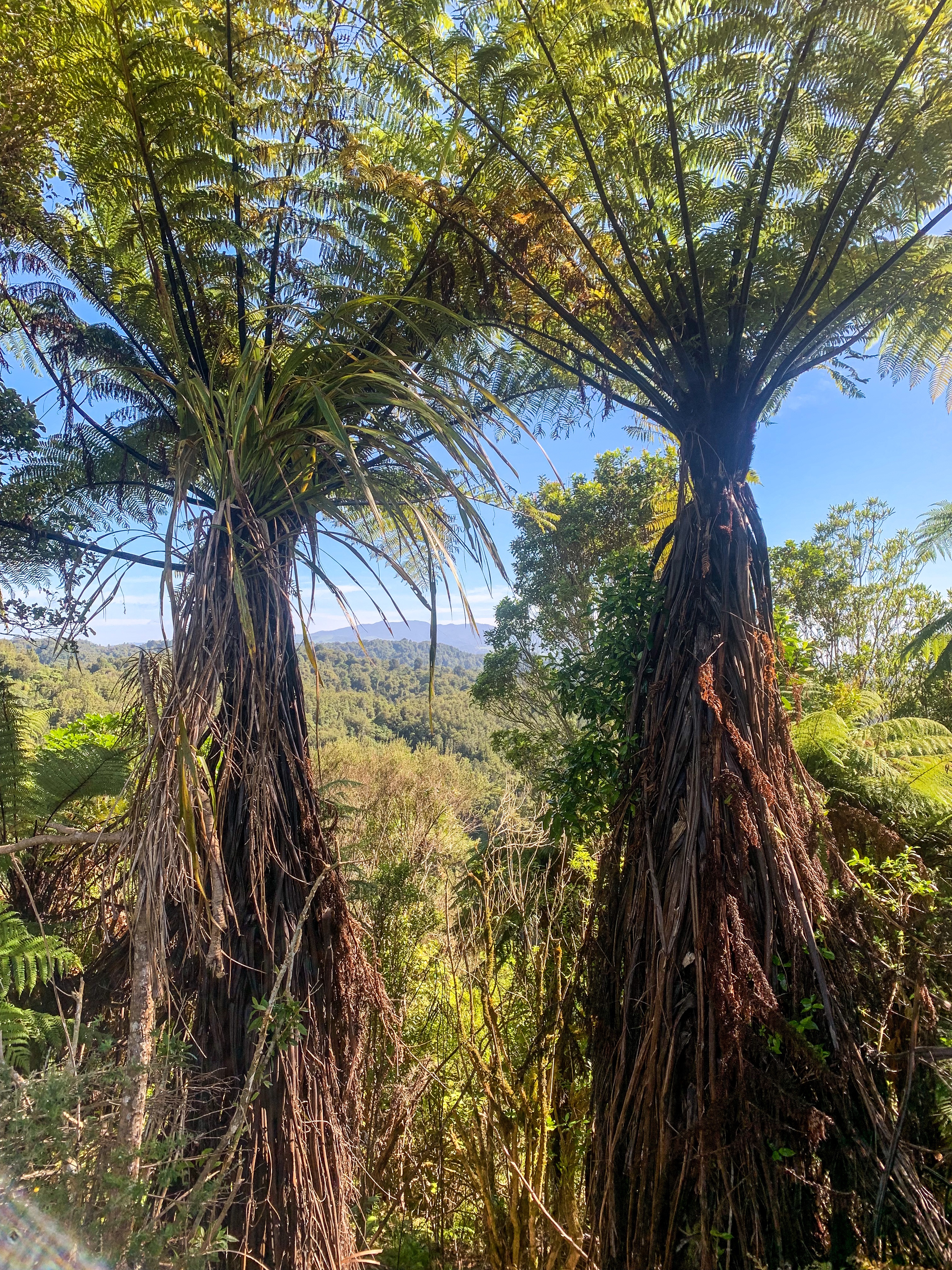
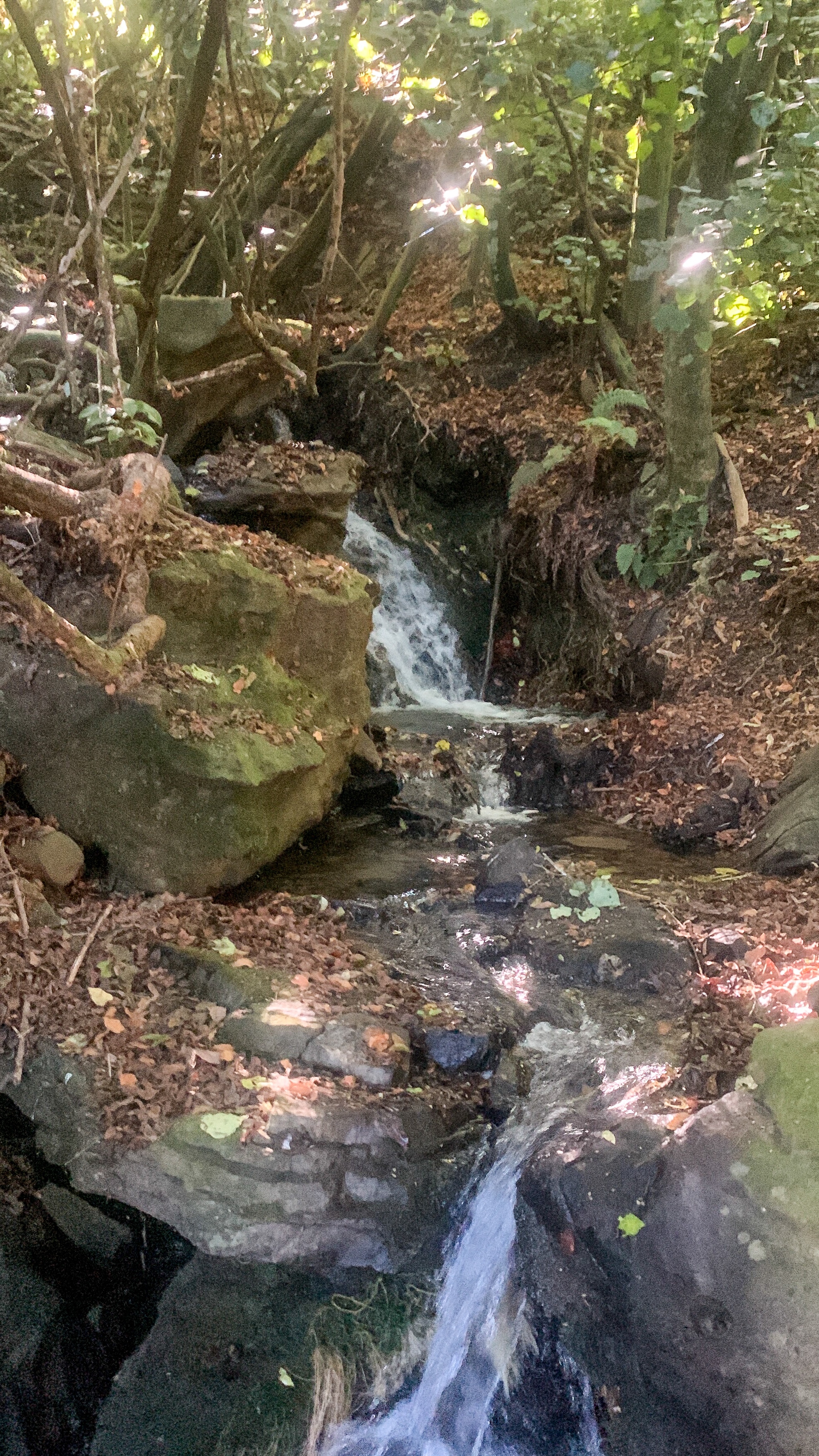
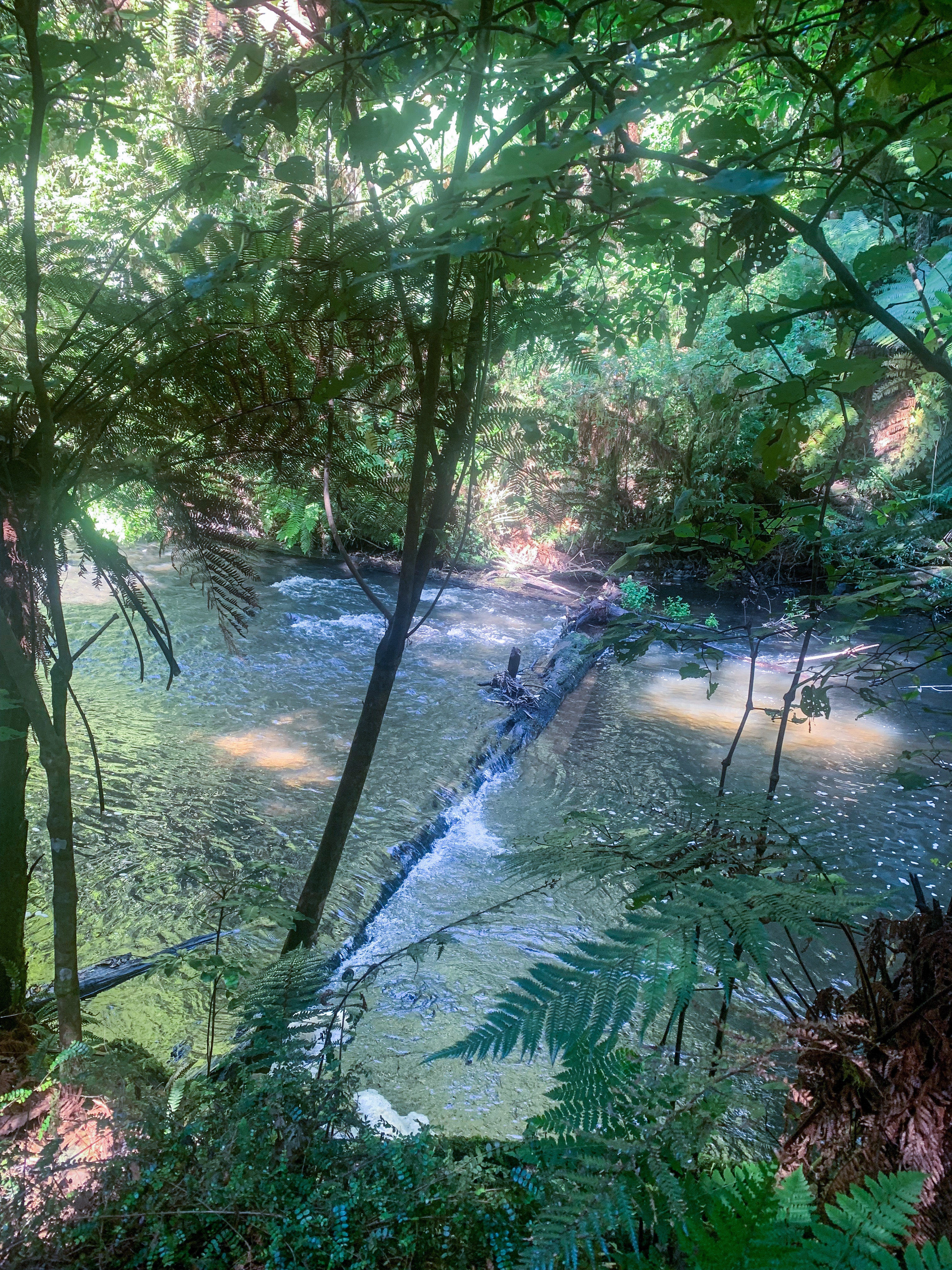
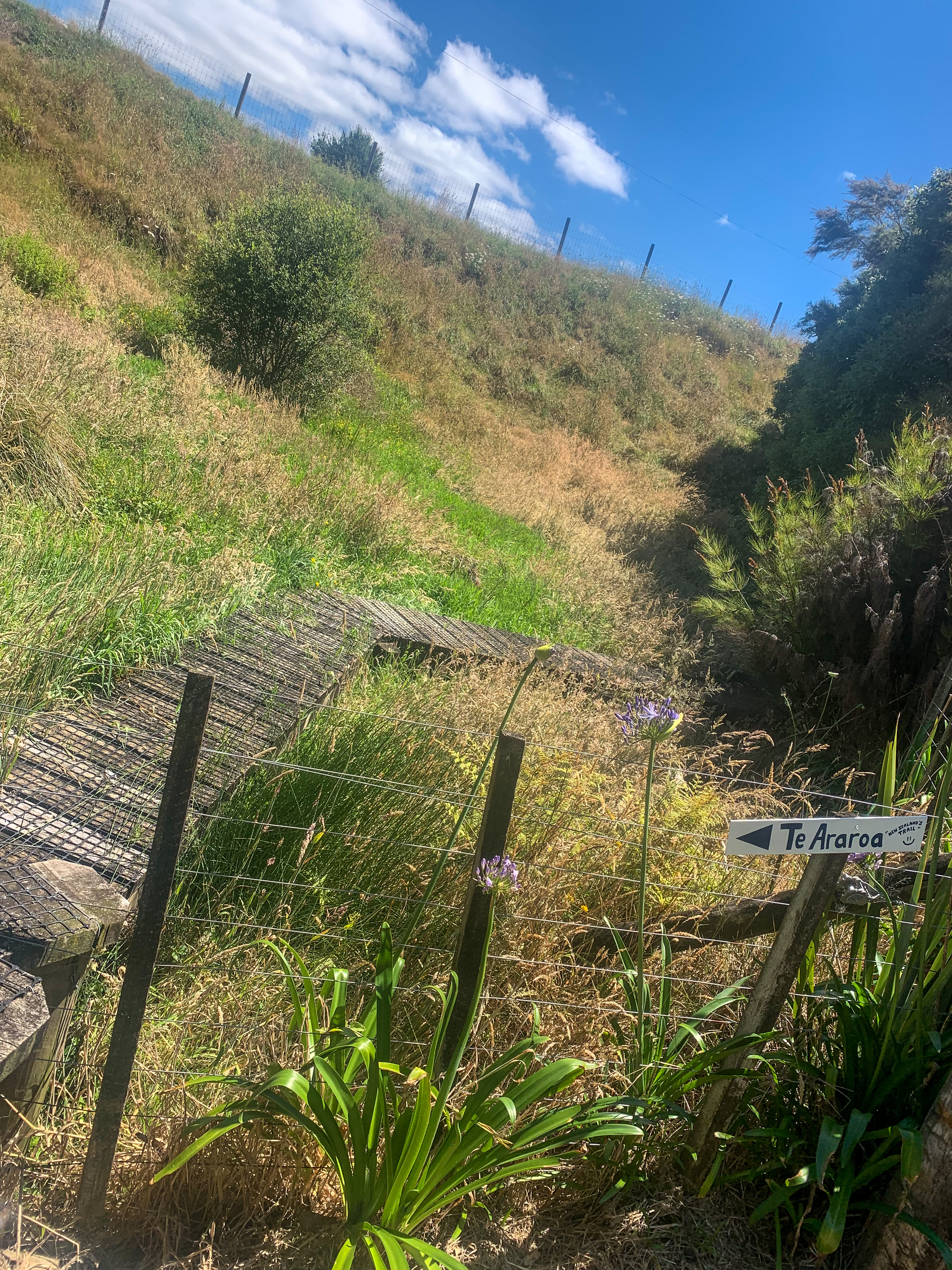
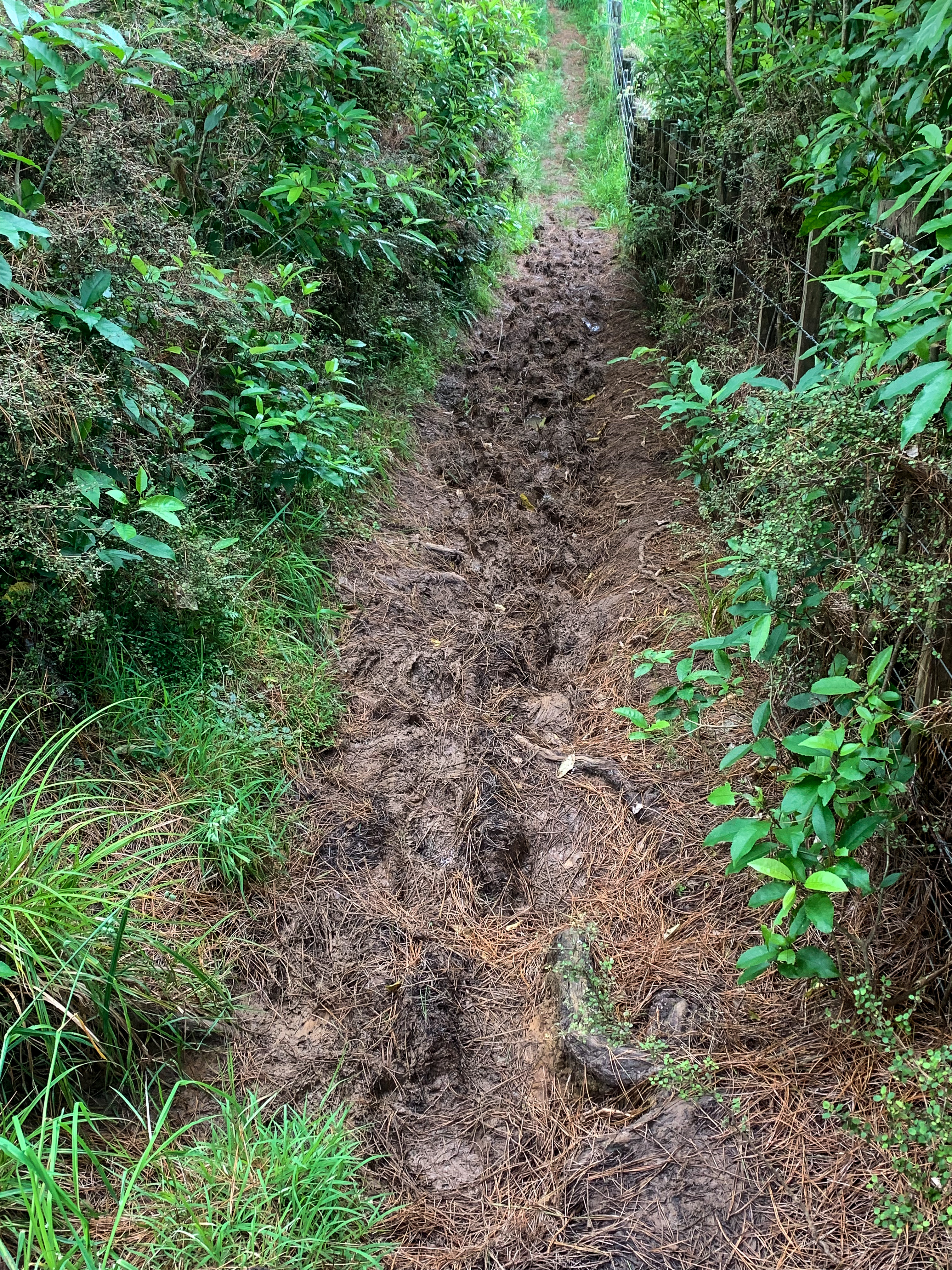
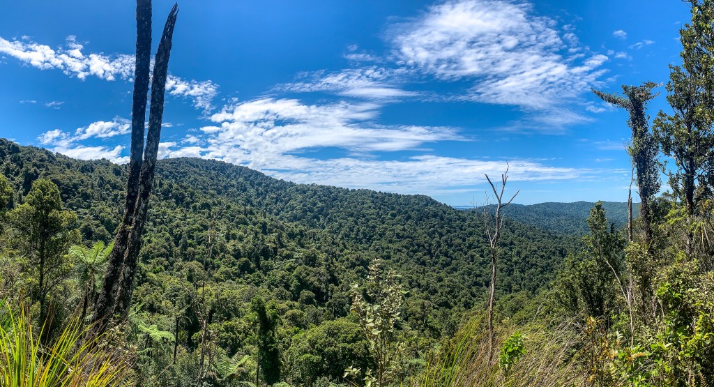
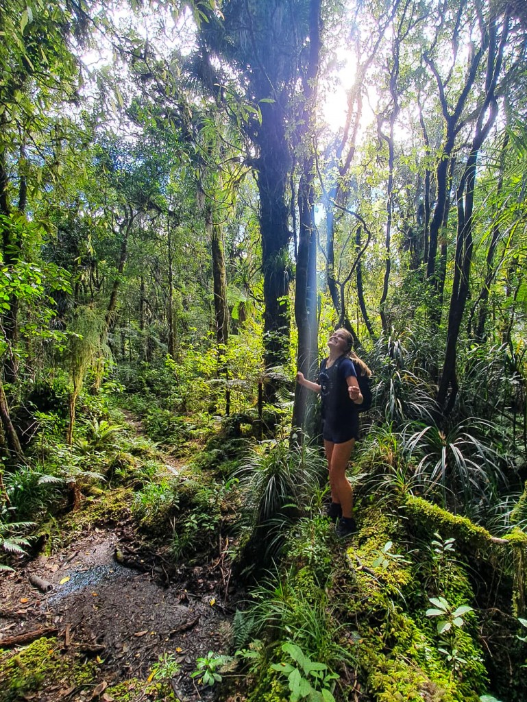
The trail from National Park to Whakahoro is a mixture of cycle track, tramping track, metalled and asphalt road. It passes through deer and sheep country alongside the Tupapakurua Stream and Rētāruke River. This may be a great trail to cycle or drive, but to walk your asking for dust in your face, constant sun exposure and a slight loss of sanity.
Fortunately the two days didn’t take me too long and I managed to get out of the heat by 2pm and 1pm each day. The block of chocolate, packet of cookies and dried mango I consumed also helped 🙂
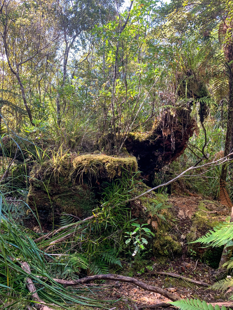
On the first night I was fortunate to be able to stay on a mattress in trail angel Roger and Sharon’s shed in Kaitieke. With the moonlight shining in through the open roller door I even had company in the form of hedgehogs and wild goats, who were all munching away in the paddocks till the early hours. Oh and thanks for the water drop off Roger mucho appreciated!!!
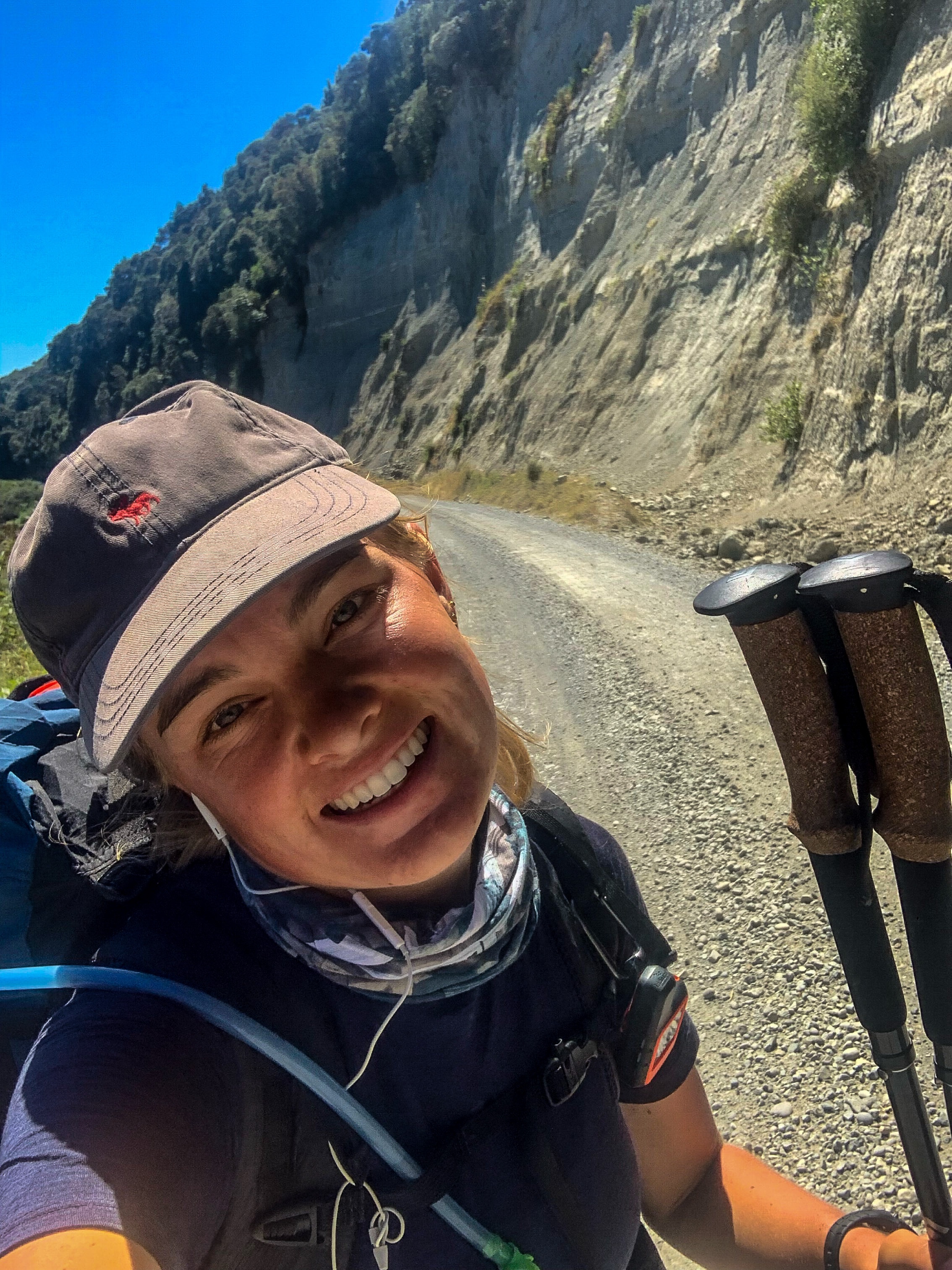
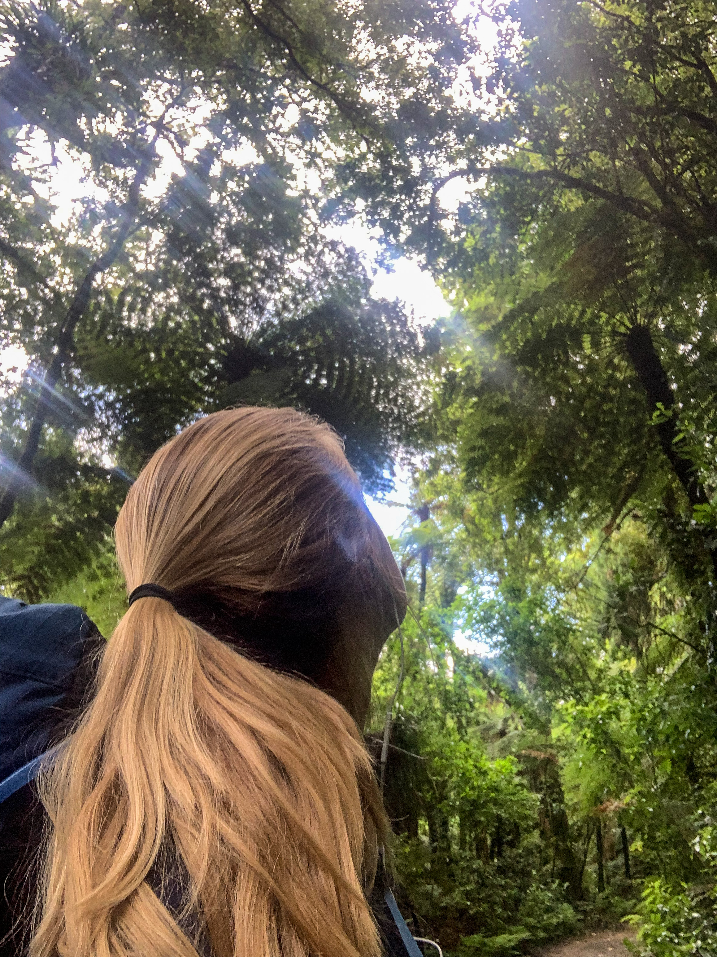
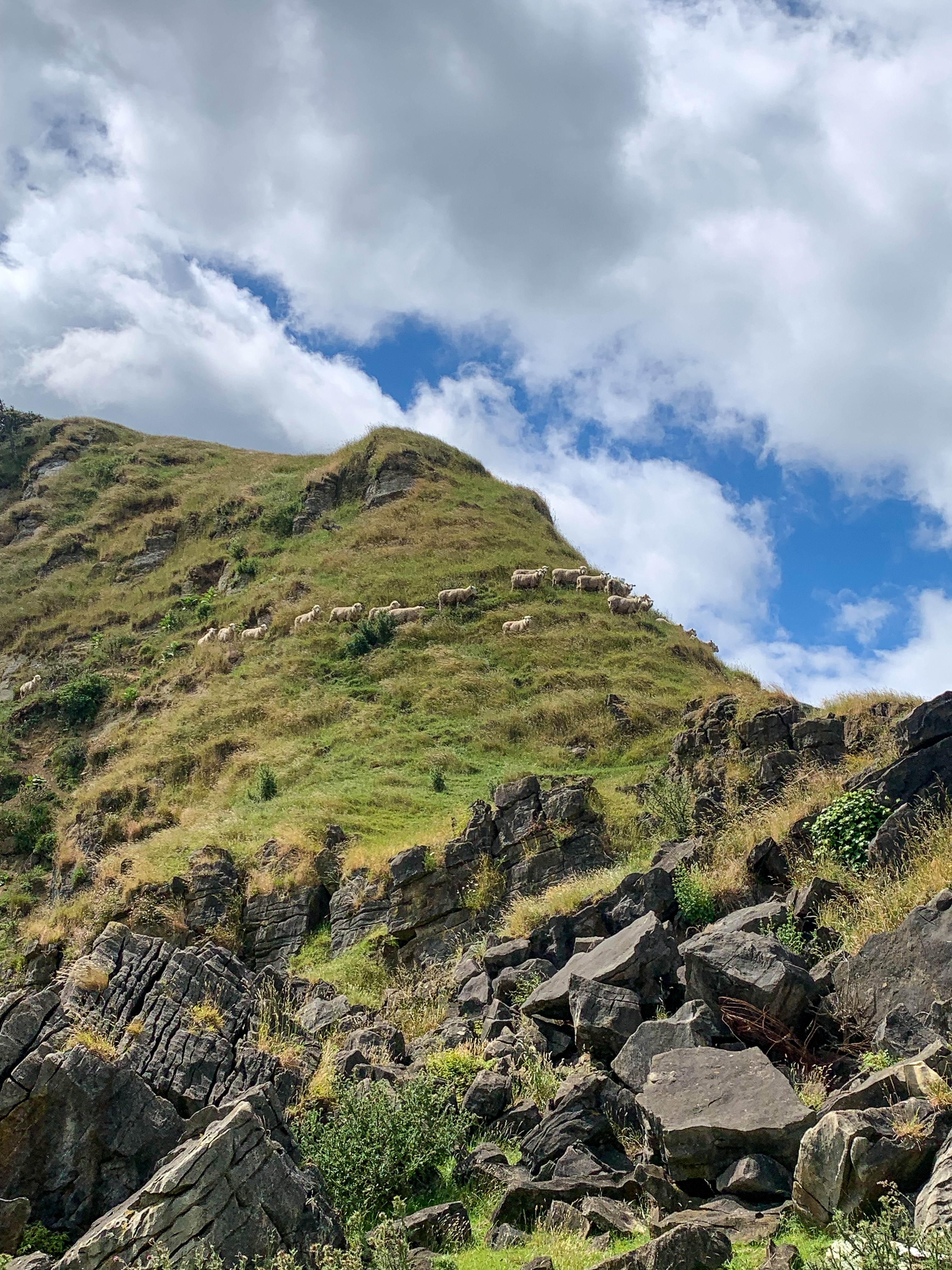
Goat Friends 🙂
If you were a sheep, deer or one of the 100 wild goats that I encountered on my trot you might have been treated to a performance of me singing all my trail mix songs from my Spotify playlist, joined in on listening to one of four audiobooks I completed or heard me muttering how uncomfortable I was being this hot and dusty.
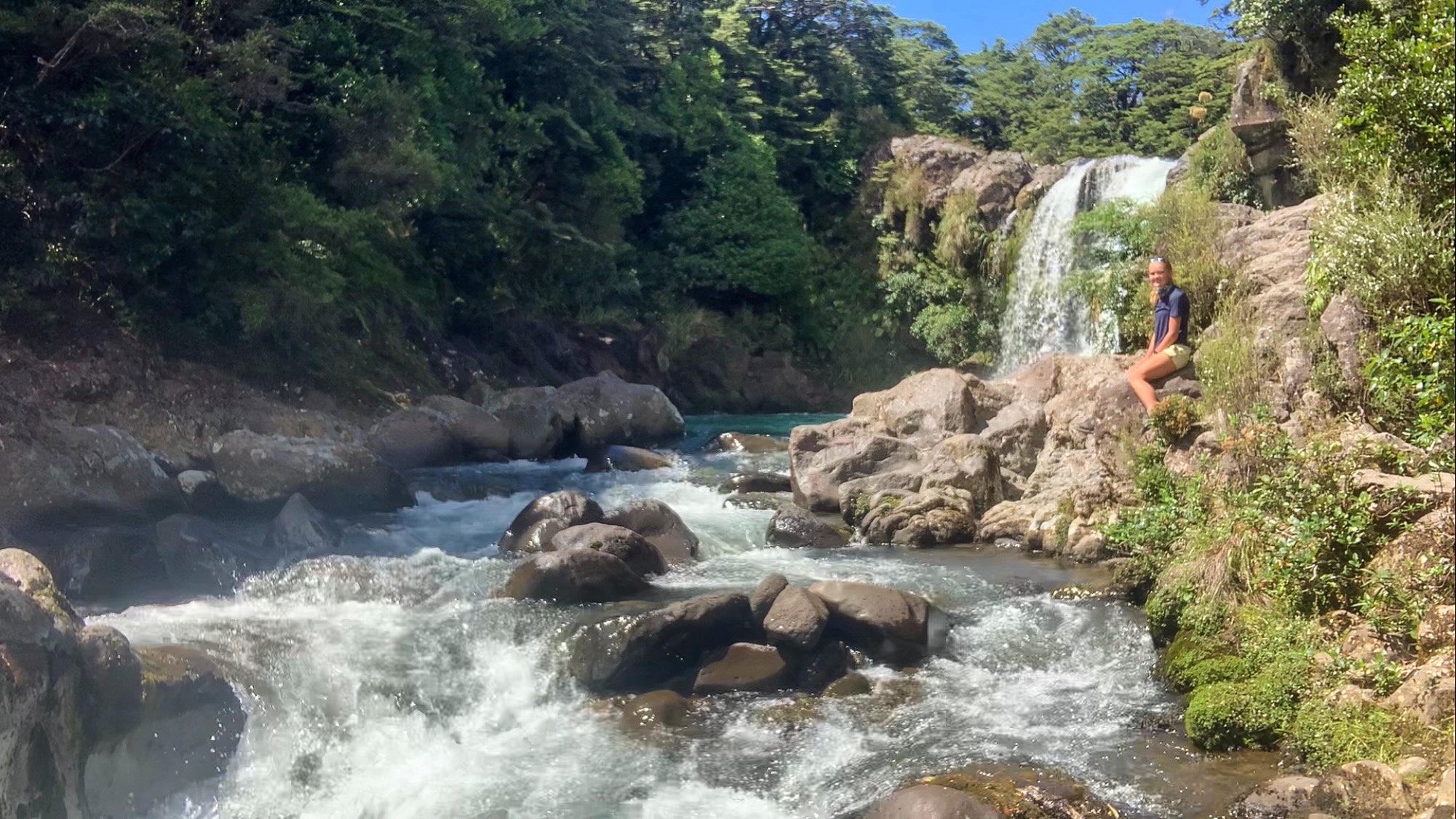
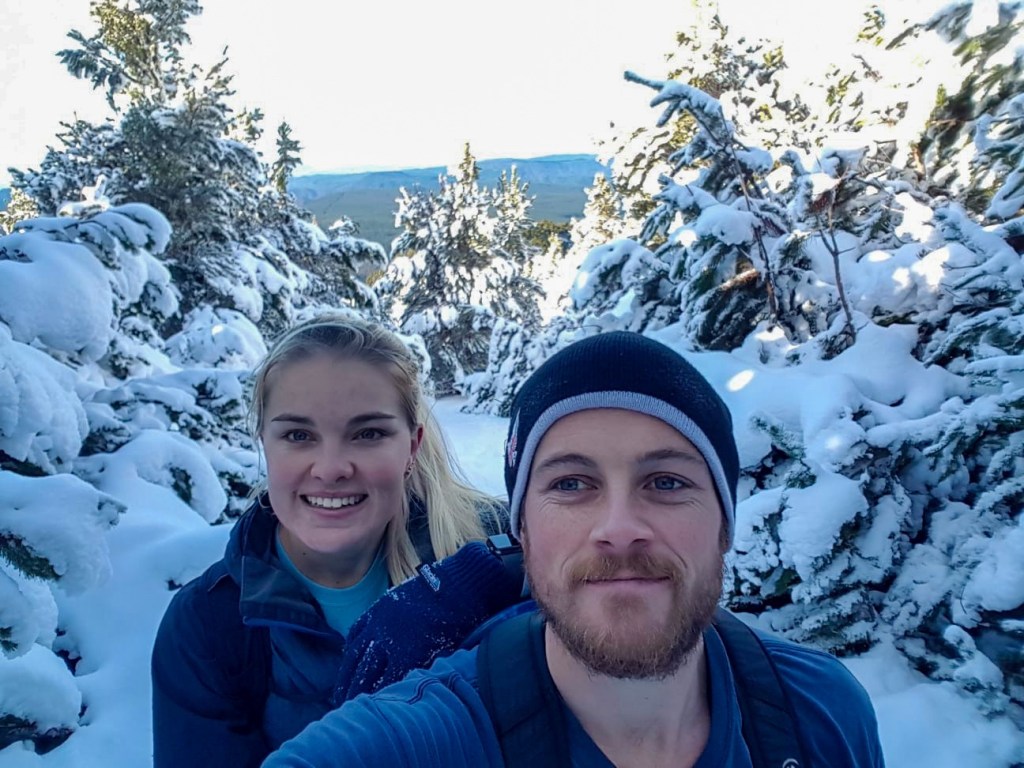
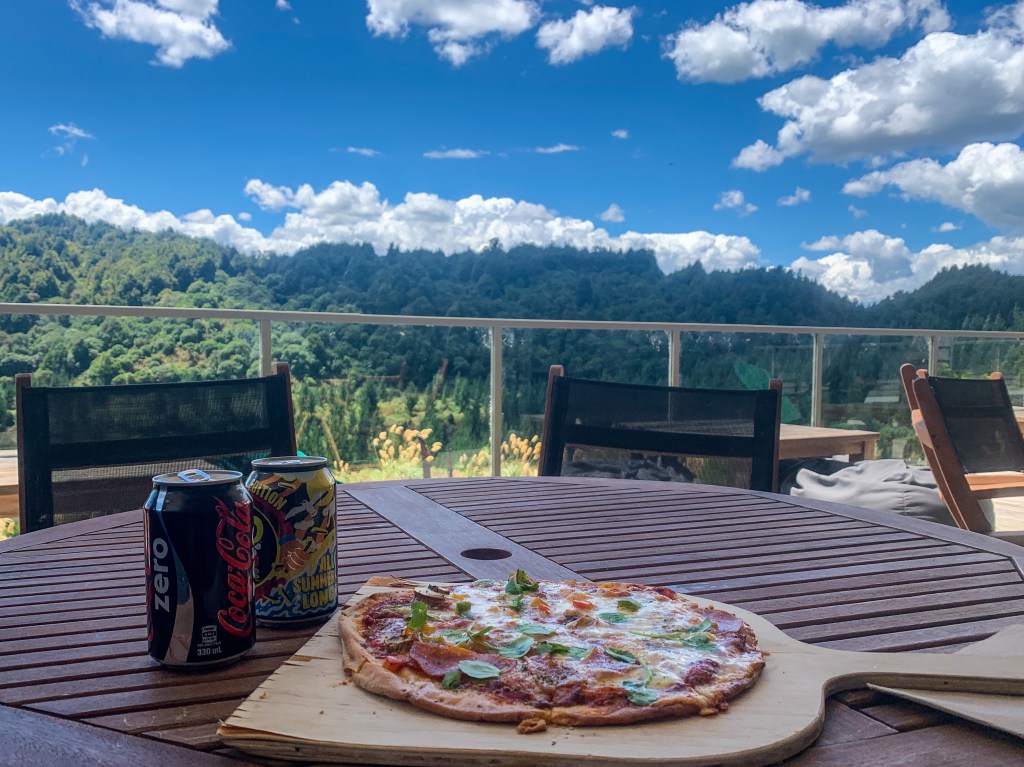
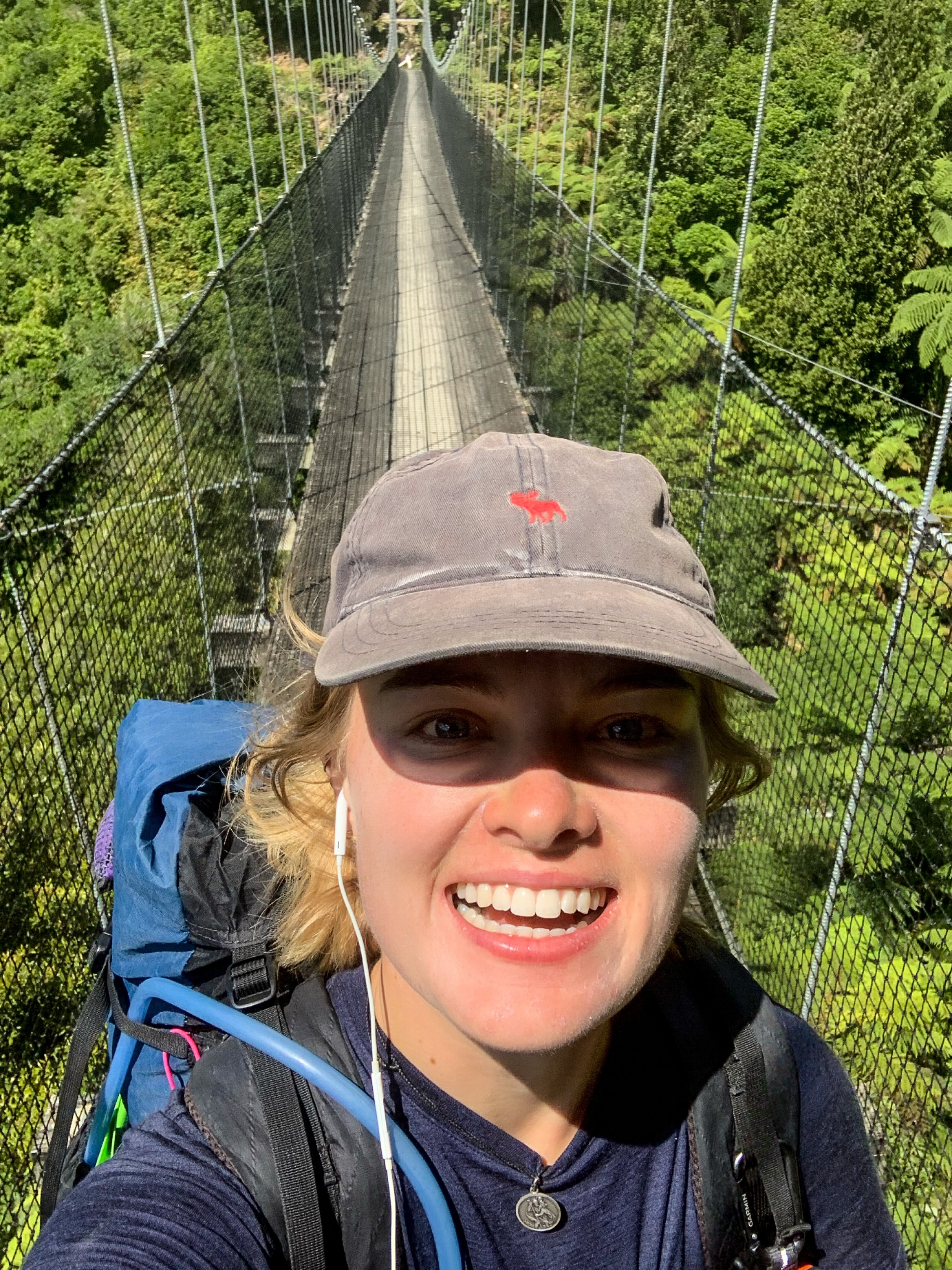
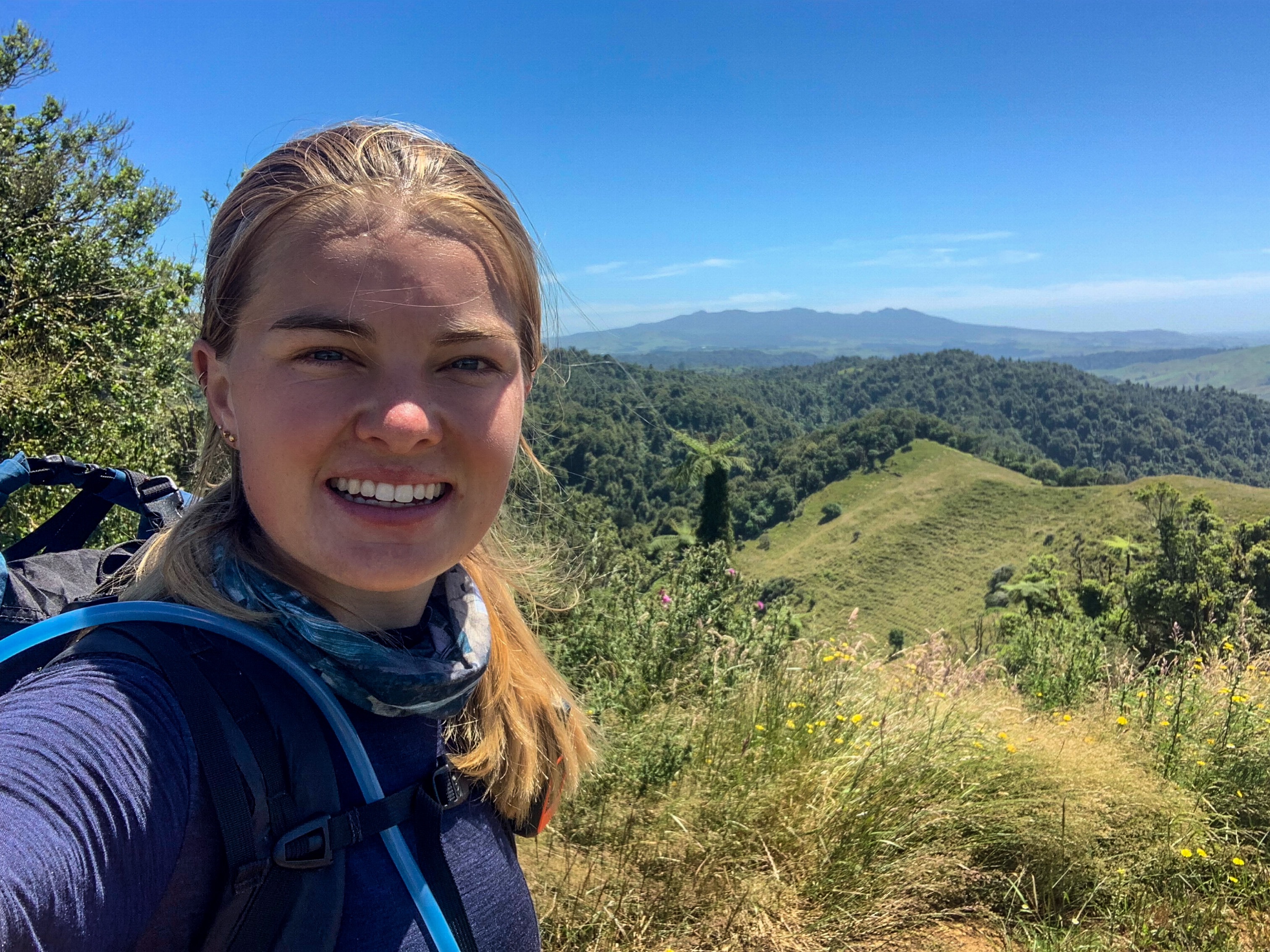
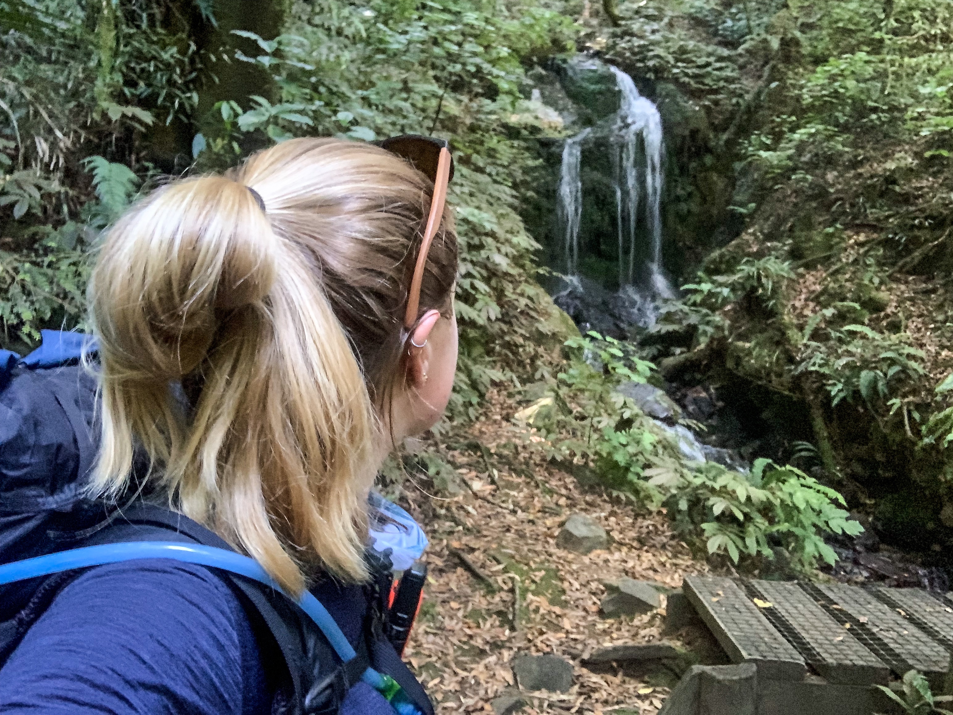
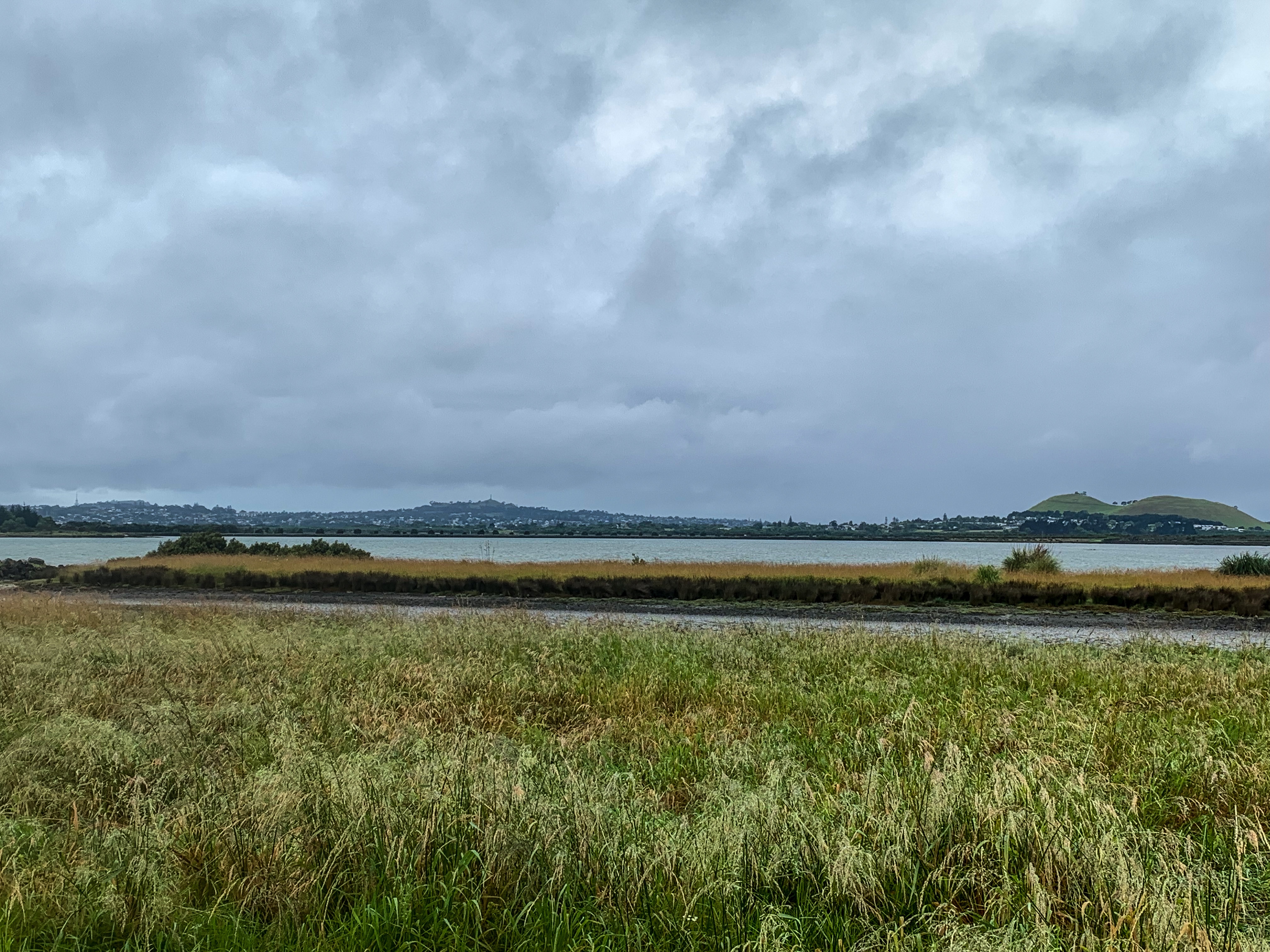
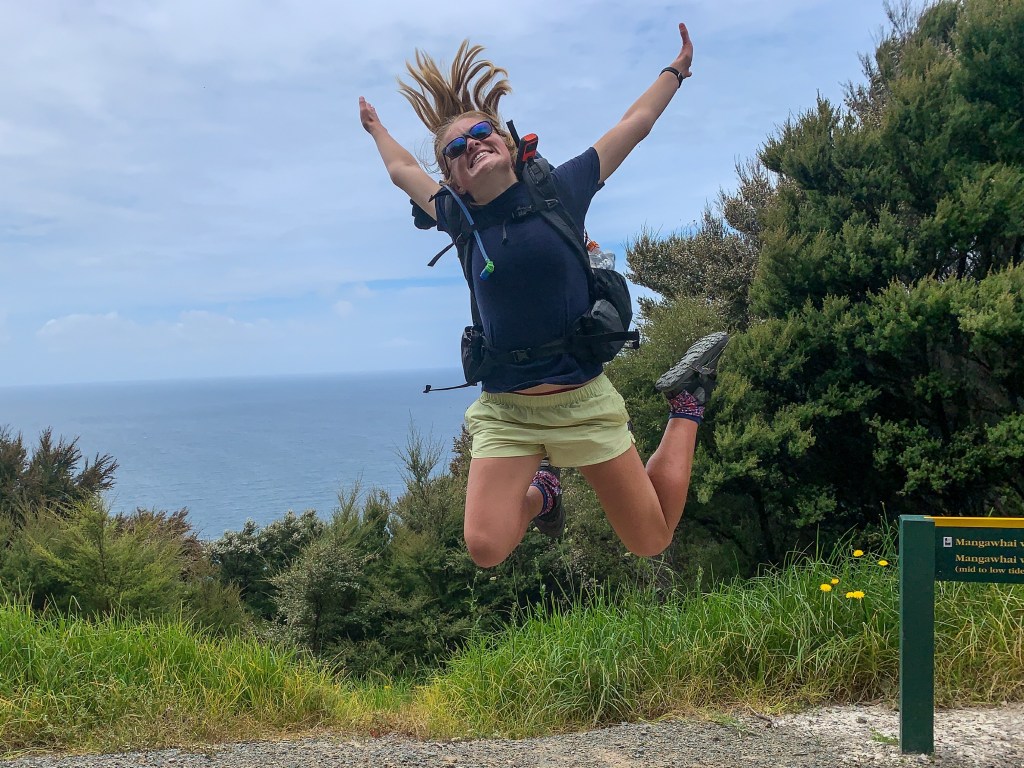
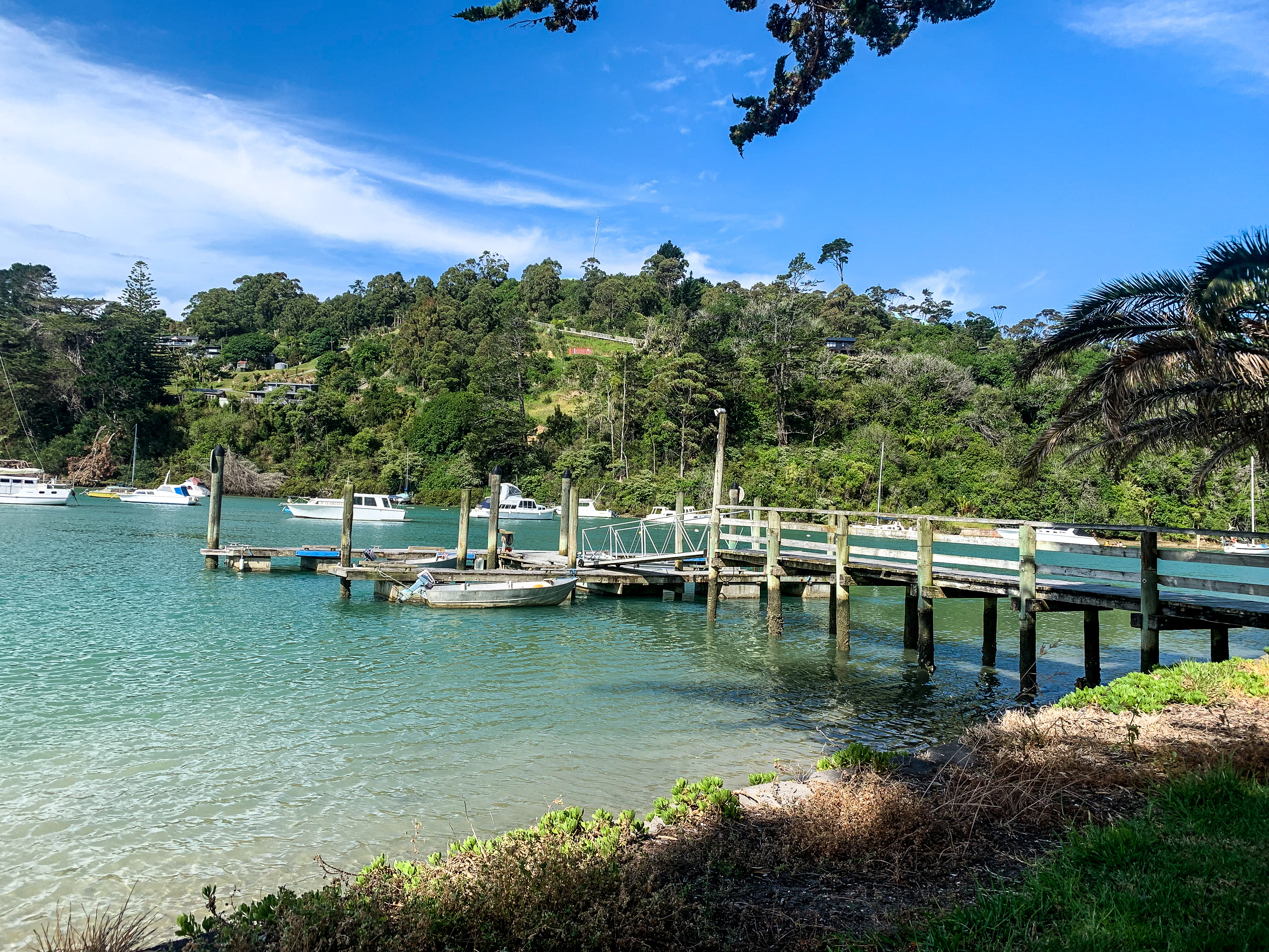
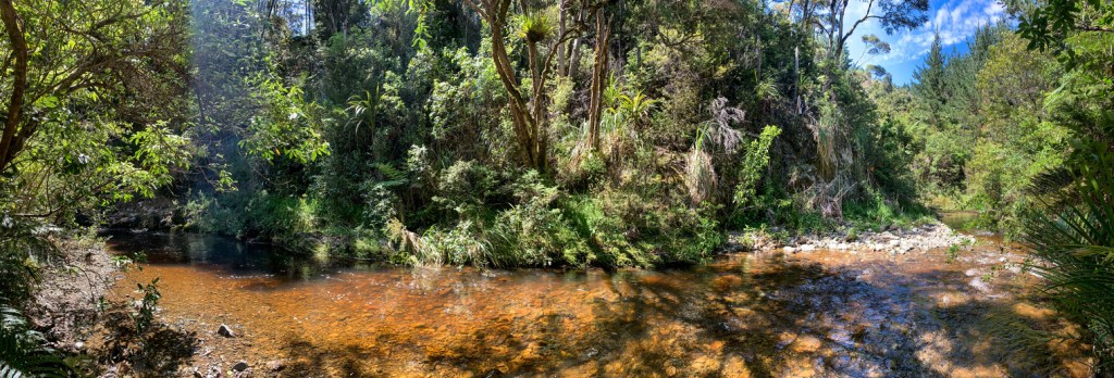
On making it to Blue Duck station and with the Whanganui River in sight I was grateful to be out of the sun and soon not be as dusty, for my trot is to become a paddle tomorrow!
“Difficult roads often lead to beautiful destinations”
Zig Ziglar
Day 41 to 42
Day 41 – Tongariro to Whakapapa ; 34 km
Day 42 – Whakapapa to National Park ; 20 km
Total hiked: 1167 km
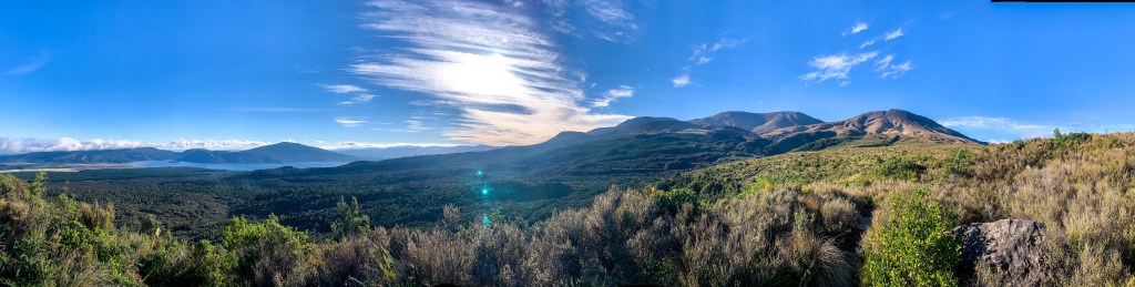
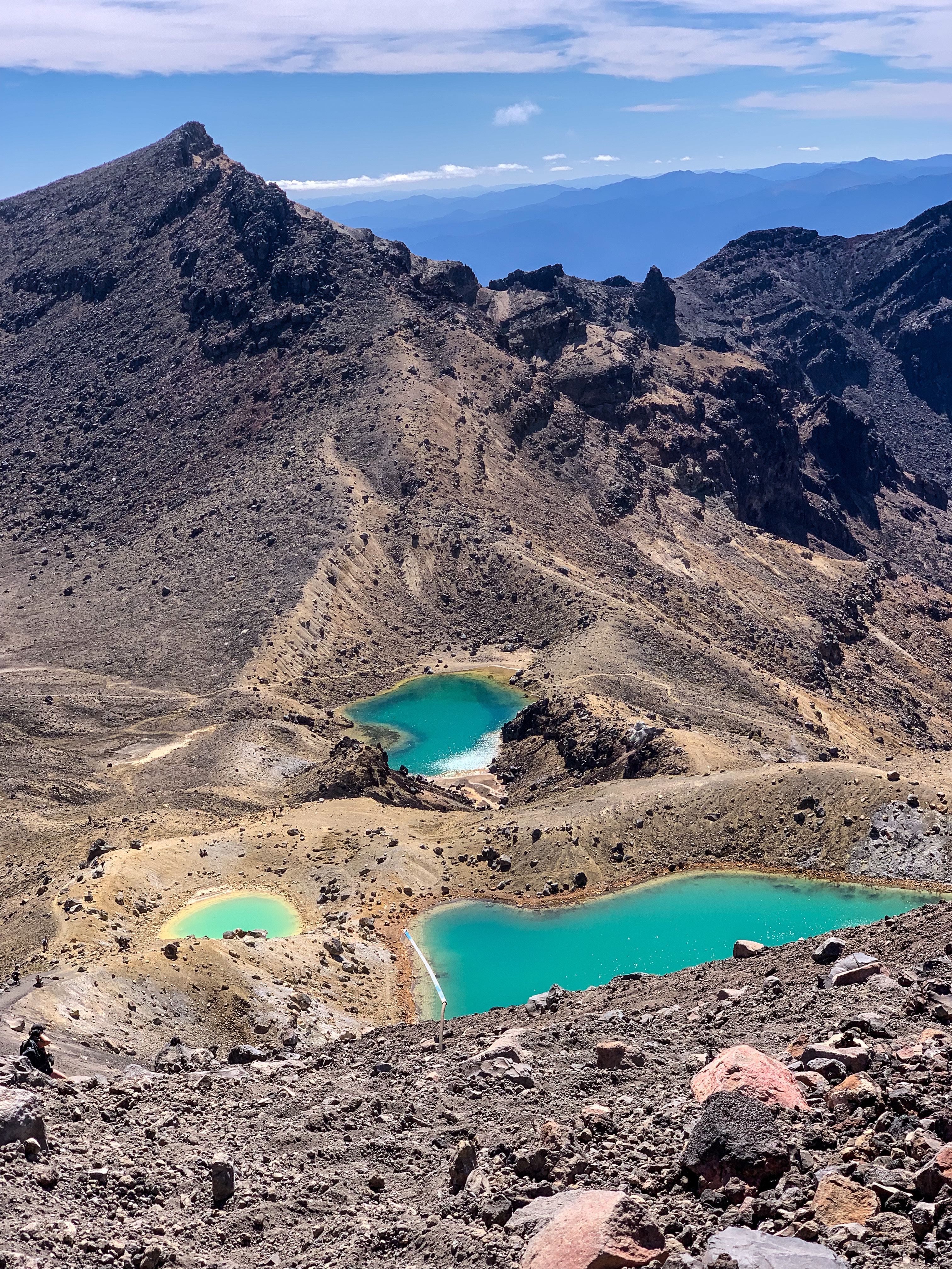
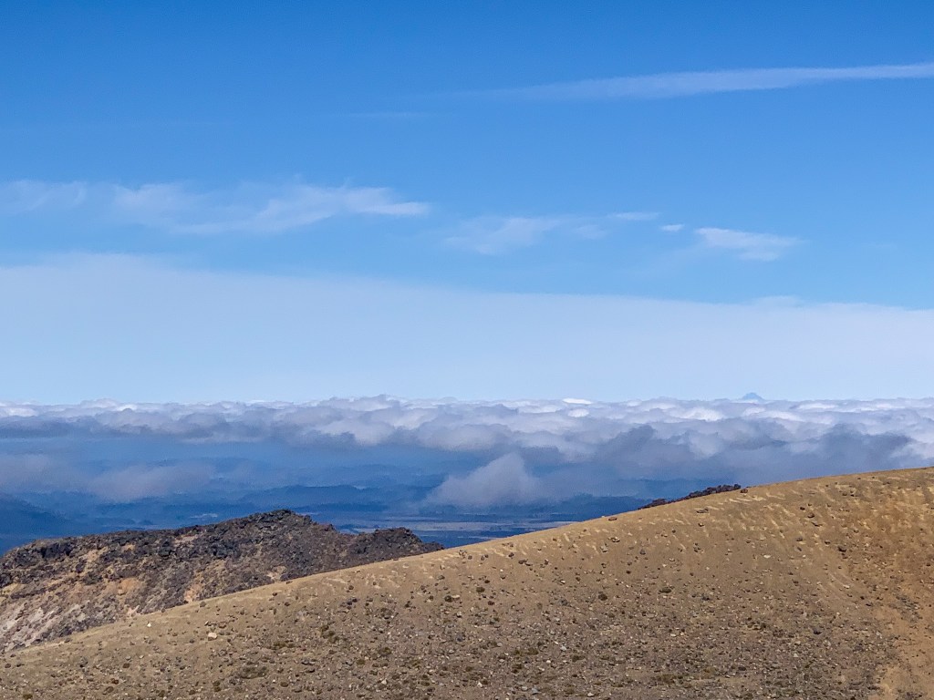
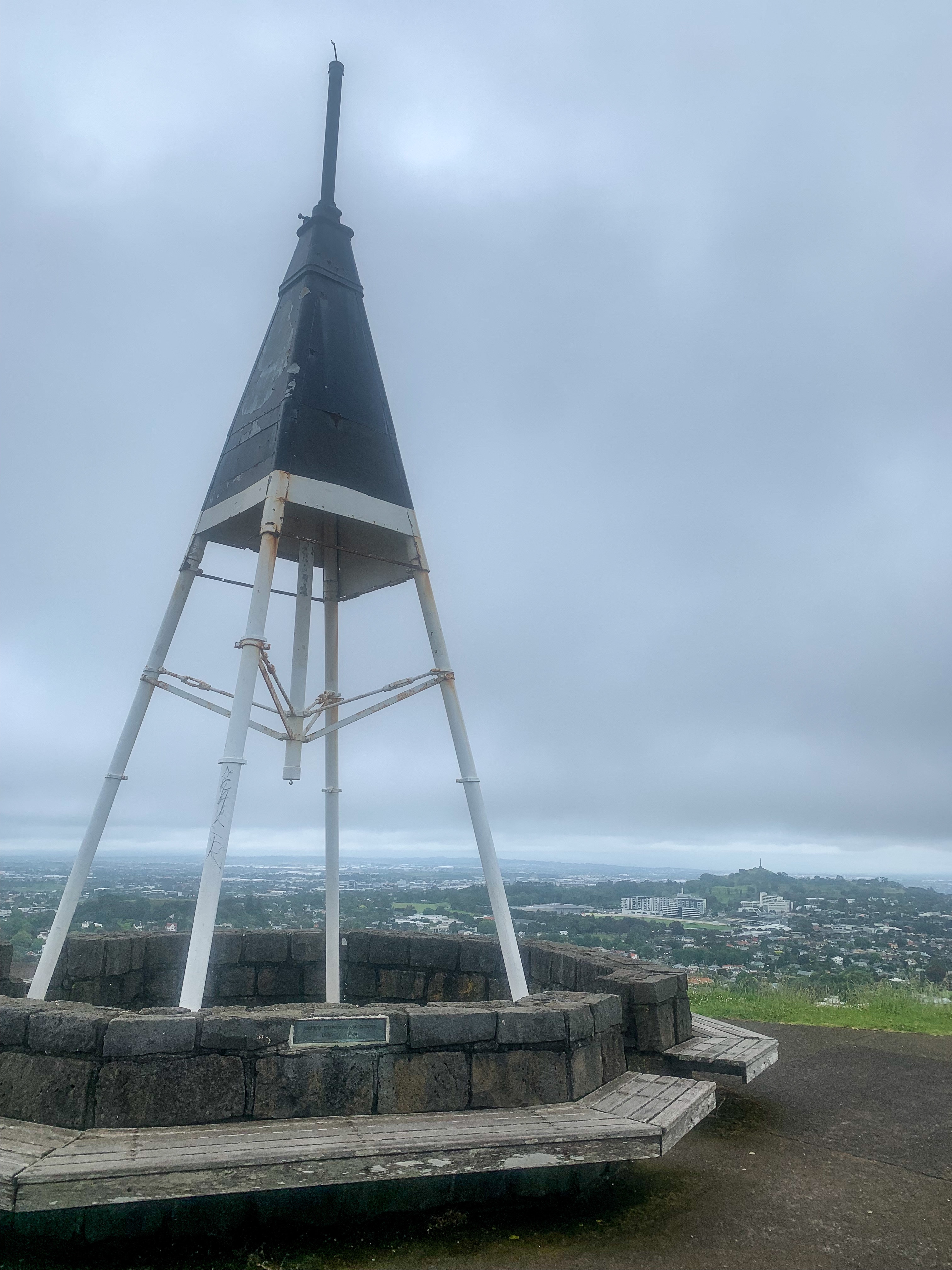
Tongariro Alpine Crossing
The central plateau was something else.
I can’t really describe it better than during my time here something just clicked… well I’m writing a blog so let’s see if I can describe it better haha
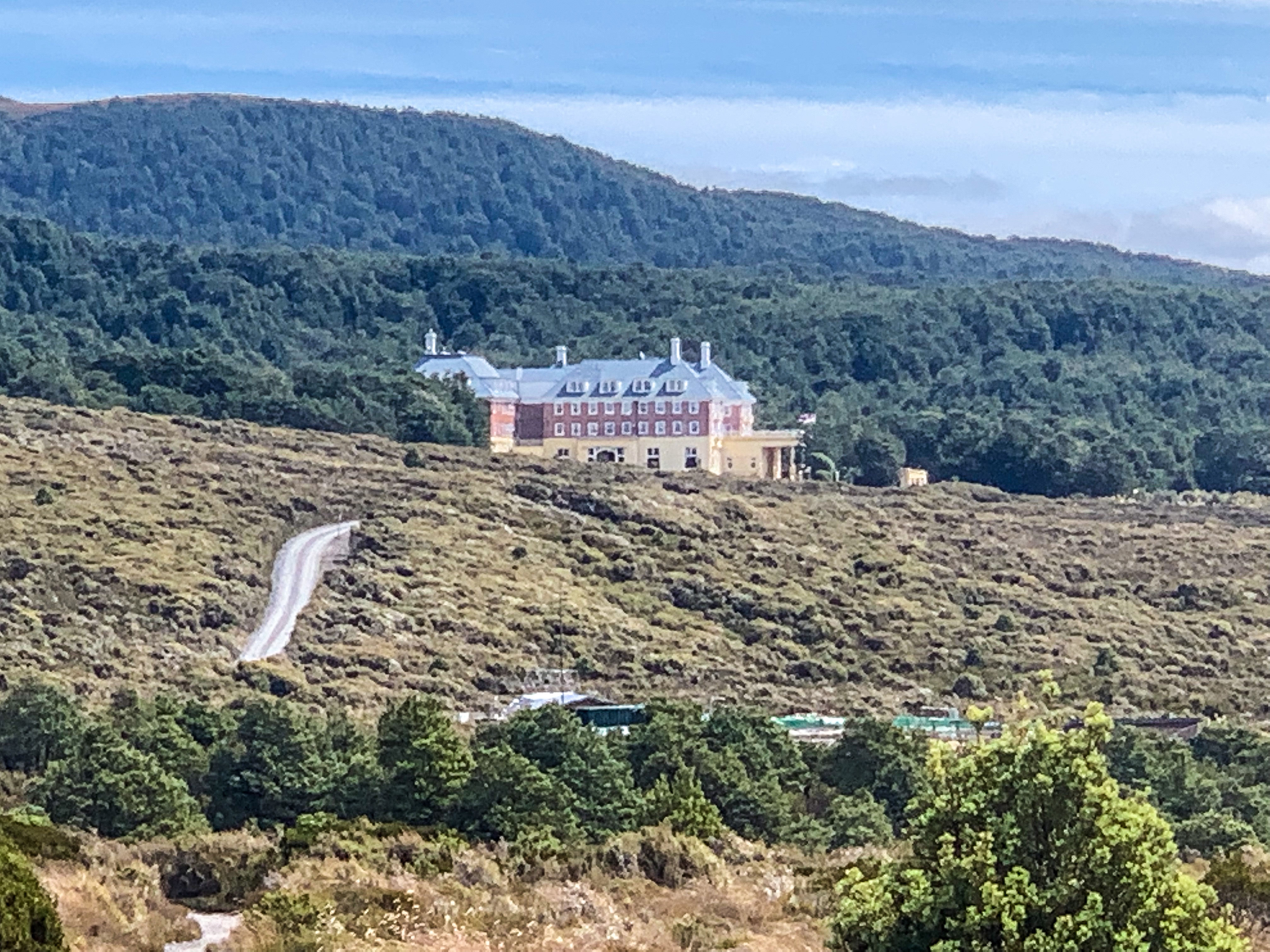
As a kid I remember riding the train with my mum to National Park and Whakapapa, we were going for a weekend train trip more than anything else. The weather was awful. We stayed one night in the Chateau, we didn’t ski, we didn’t hike anywhere, we did nothing. I remember thinking outside was miserable and we went home the following day on the train, at least we enjoyed the train ride.
Flash forward 20 years and I am trotting into Tongariro in awe. Having never been back to the central plateau I didn’t know the mountains were so prominent, precipitous… perfect! And this wonder didn’t cease the entire time I was their.
Early the next morning (0500 to be exact) I started getting ready for my new favourite day walk! The Tongariro Alpine Crossing, located within Tongariro National Park holds dual UNESCO World Heritage status and was the first of its kind to be recognised as having both natural and cultural significance.
A chilly and dark morning trot
Starting the trot up the Ketetahi Track (backwards for those familiar with the hike) was tough. Compared to the other route, 350 metres of extra vertical elevation made it self known as I panted and sweated profusely through the podocarp-hardwood forest until breaking free of the shrub at the old Ketetahi Shelter. But the views when I got to the clearing made it all worth while!
Wow, to the views and the amount of sweat on my face!
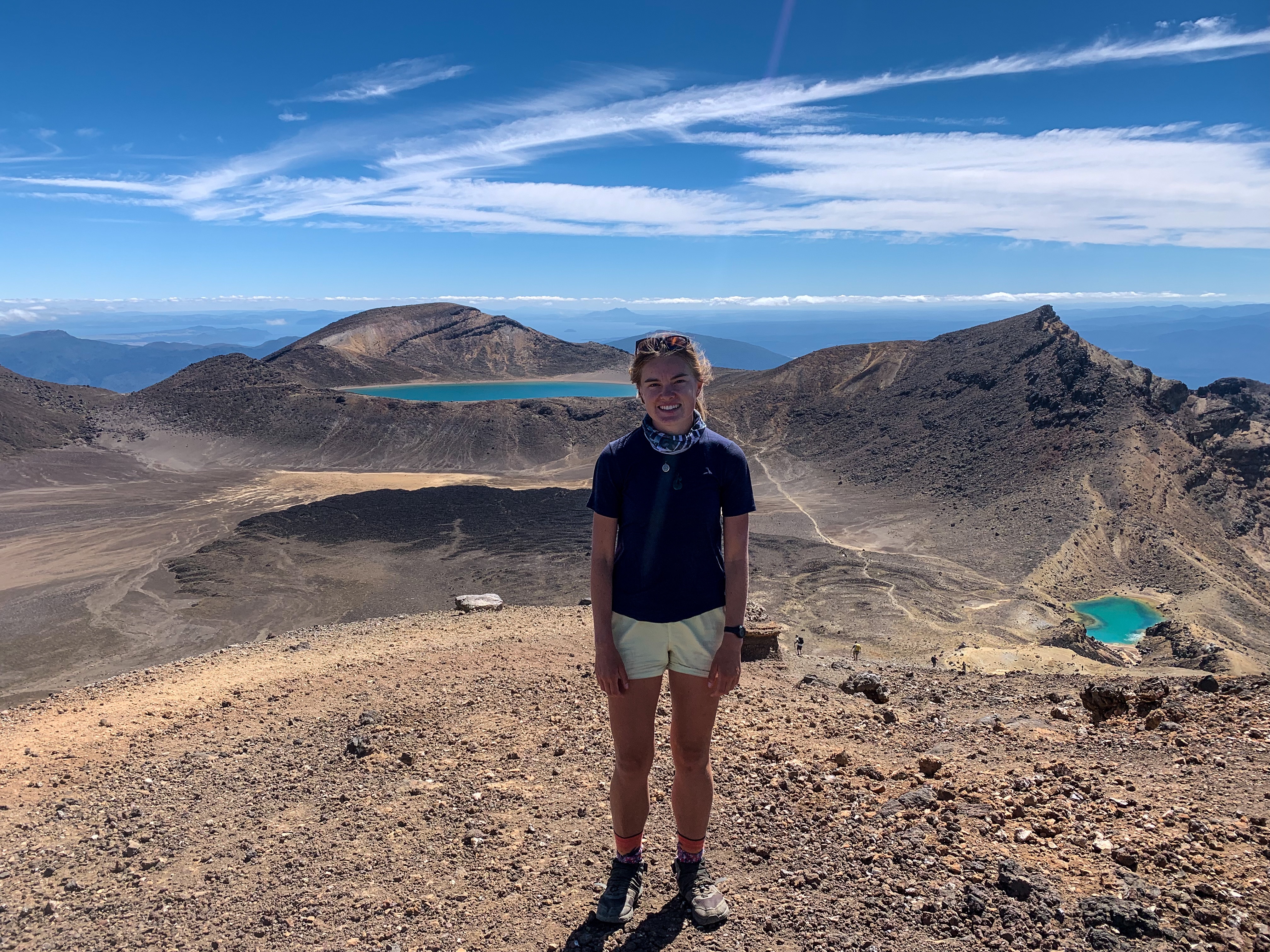
As the track meandered its way through tussock slopes, past Ketetahi Springs, over bridges and rock hopping spots I couldn’t help but keep looking up at the shear size of the mighty maunga. Around the North Crater to the Blue Lake/Te Wai Whakaata o te Rangihiroa I was met with crystal clear blue water and a strong headwind. But after seeing the glimmering Emerald Lakes/Ngarotopounamu ahead no wind chill could hold back my amazement!
Up until this point of the trot I had been entirely alone. Without a single other hiker on the track I felt like it was just me enjoying the splendour that is Tongariro. It was at this moment that I felt serene. Not just with my days walk, but with my decision to leave work and do Te Araroa in the first place, with trotting all these kilometres alone, with my mindset and mainly with myself 🙂
All by myself…
I have come to realise the beauty in the simplicity of what I do everyday. I wake up, trot some kilometres and when I’m too tired I put up my tent and do it all over again the next day. Anything else that happens is a bonus. A place to get coffee, great, a flock of sheep, cute, a bridge to cross, yay, a lovely stranger who shows kindness, I couldn’t be happier! So easily we take all these moments in life for granted, we stress about everything going on that we forget to stop and appreciate what’s right in front of us. Today staring up in awe at Tongariro I appreciated what was right in front of me.
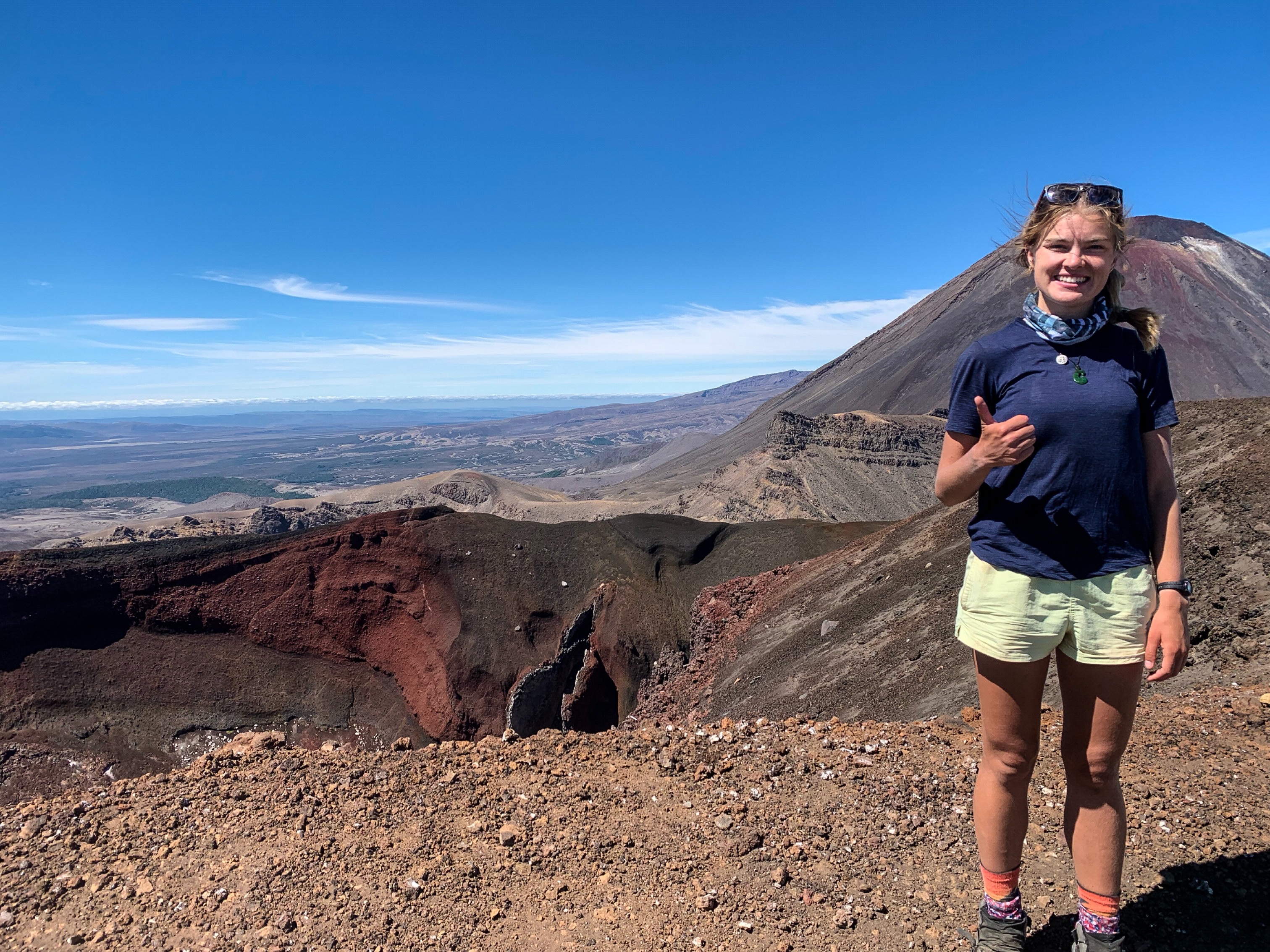
On rounding the lakes I noticed the first day hikers with their fresh smell and small packs, all slip sliding down the scree slope. When they met me there questions of what I was doing and worries of if was going to attempt to walk up the steep gravel slope to the summit were quickly answered when I succeeded (rather easily I might admit) to trot my way to the top of Red Crater, at 1886 metres it’s the highest point on the Tongariro Alpine Crossing.
Mt Taranaki peeping through the clouds
From the top I was awarded views across the entire region even stretching out in the west to see Mt Taranaki.
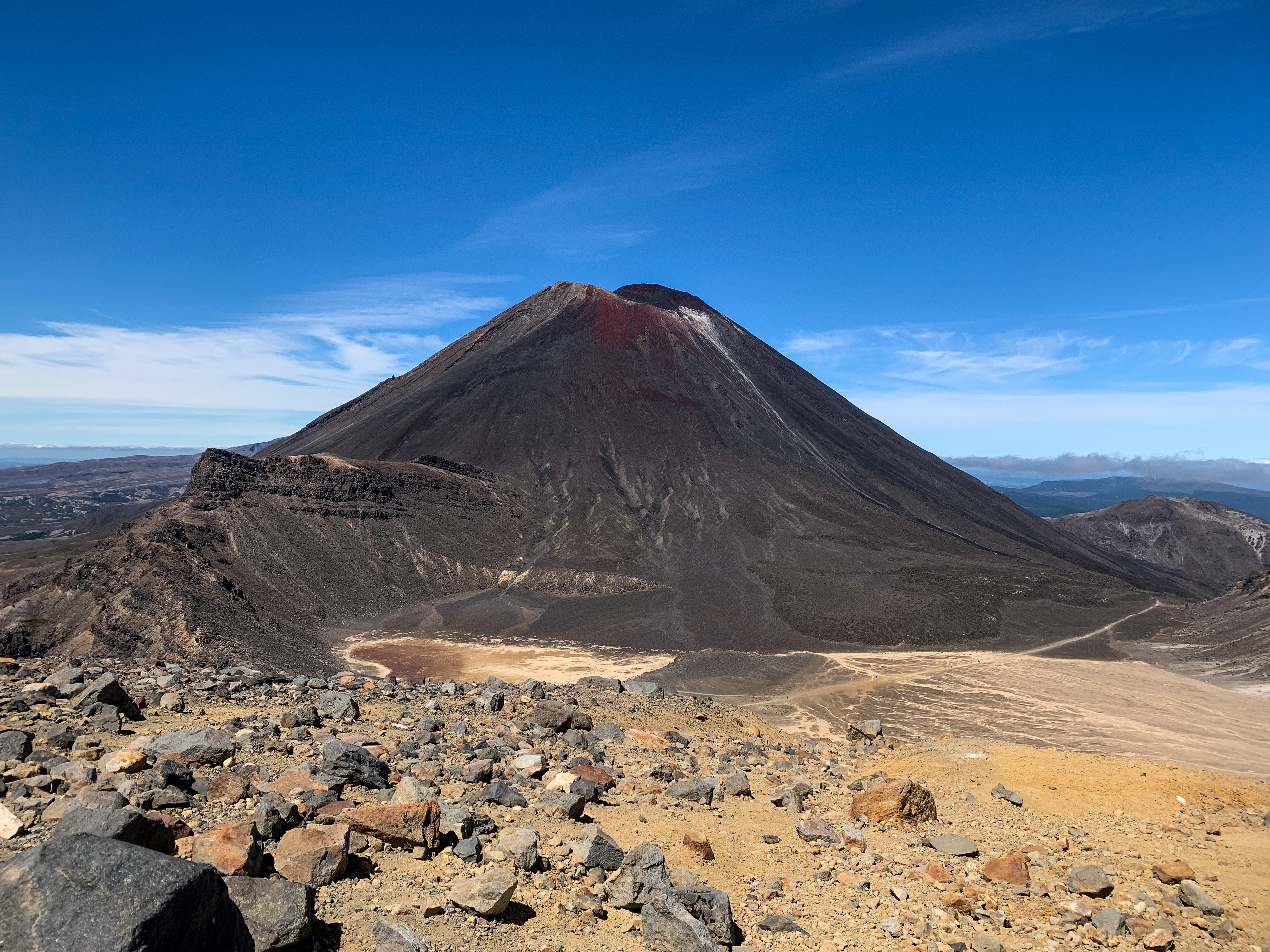
I continued on down the ridge to the South Crater, through the Mangatepopo Saddle between Mt Ngāuruhoe and Tongariro, down the Devil’s Staircase and to the top of the Mangatepopo Valley. Turning back every 5-10 minutes as I walked the Mangatepopo Track, I stared up in amazement at not just what I had physically achieved today, yesterday and everyday since I started walking Te Araroa but also at how I felt!
Skirting around Pukekaikiore and on entering the lower Taranaki Falls Track I was met with a familiar sight, but unlike 20 years ago in the rain today The Chateau looked magical. Like a fairytale castle plucked from a storybook and placed in a mountainous fantasy, on trotting into Whakapapa I was overjoyed 🙂
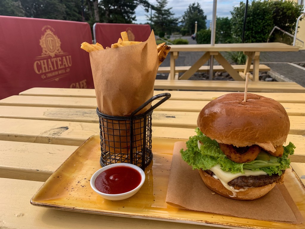
To celebrate a wonderful day I stayed in a bed at the Whakapapa Holiday Park and treated myself to burger and fries at The Chateau.
The following day true to my new mindset and appreciation of what the trail has offered me I decided to HMOH (hike my own hike for those not down with the trail lingo).
I may be not use the hiking poles correctly but at least I’m having fun with them 😛
Whilst being in Tongariro National Park and very recently becoming a Lord of the Rings fan (I’m talking November 2021 I saw the trilogy for the first time, thanks Nate and Josh for watching it with me; film fwends) I thought what better way to get to National Park then via Tawhai Falls or otherwise known as Gollums Pool. Similar to Gollum, I visited these alone like I have been for most my hike but it was still precious 😉
Tawhai Falls
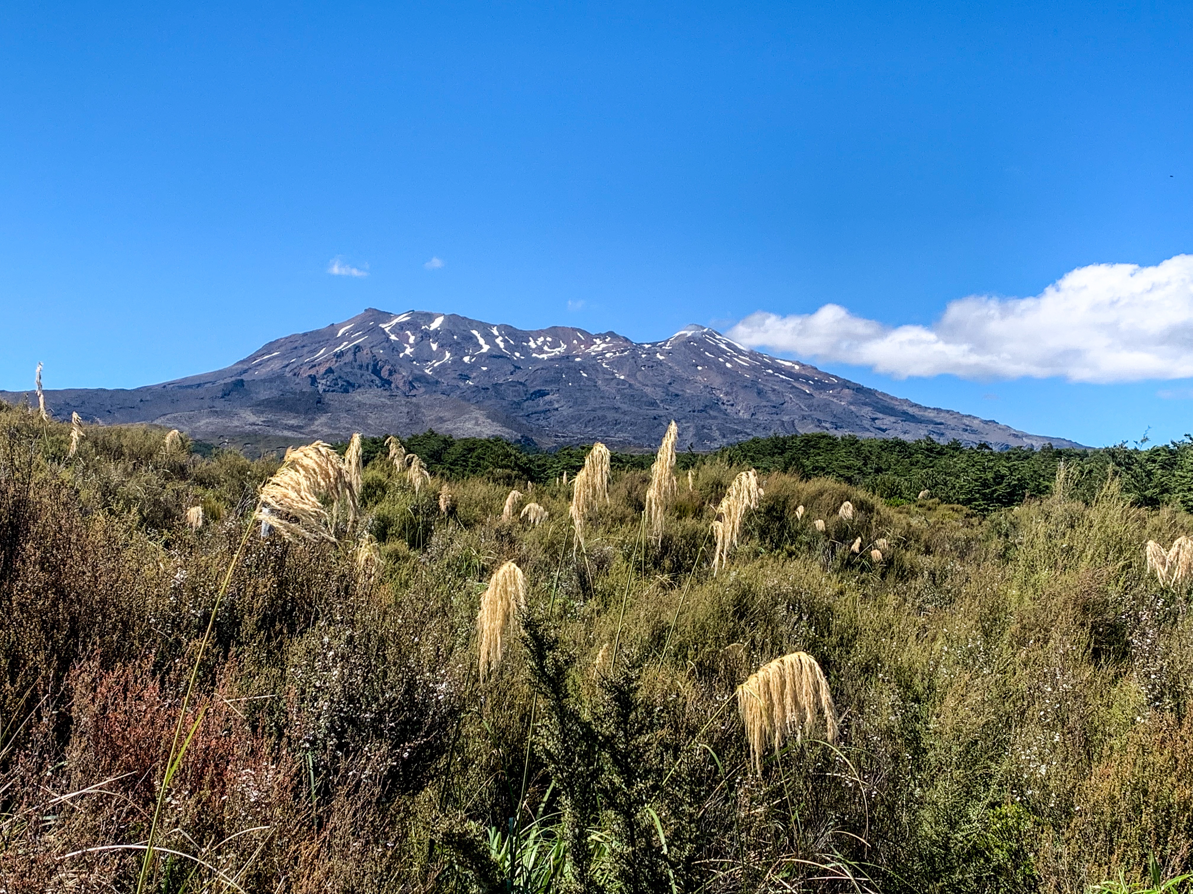
Making my way into National Park I still couldn’t shake the awe of where I was, continually gazing up and being amazed at Tongariro, Ngāuruhoe and Ruapehu.
The past few days on the TA have been either really inspiring and it’s all finally clicking into place… or the elevation is definitely getting to me. Regardless I’ve never been happier trotting than how I currently feel 🙂
“At the end of the day, we can endure much more than we think we can”
Frida Kahlo
Day 38 to 40
Day 38 – Ōngarue to Taumarunui ; 30 km
Day 39 – Taumarunui to Tongariro Forest ; 38 km
Day 40 – Tongariro Forest to Tongariro ; 23 km
Total hiked: 1113 km
I’m back on the road baby.
At least the road doesn’t leave me looking like Wolverine 😉
Well for 26 kilometres to Taumarunui and then 27 kilometres into Owhango. Though I usually dislike road walking for the constant feet pain, sun reflection, lack of shelter and monotony. I have come to find one positive in it! It usually leads to civilisation; where there is food 🙂 On this occasion to a lemonade scone – yummy!
Mmmmmm
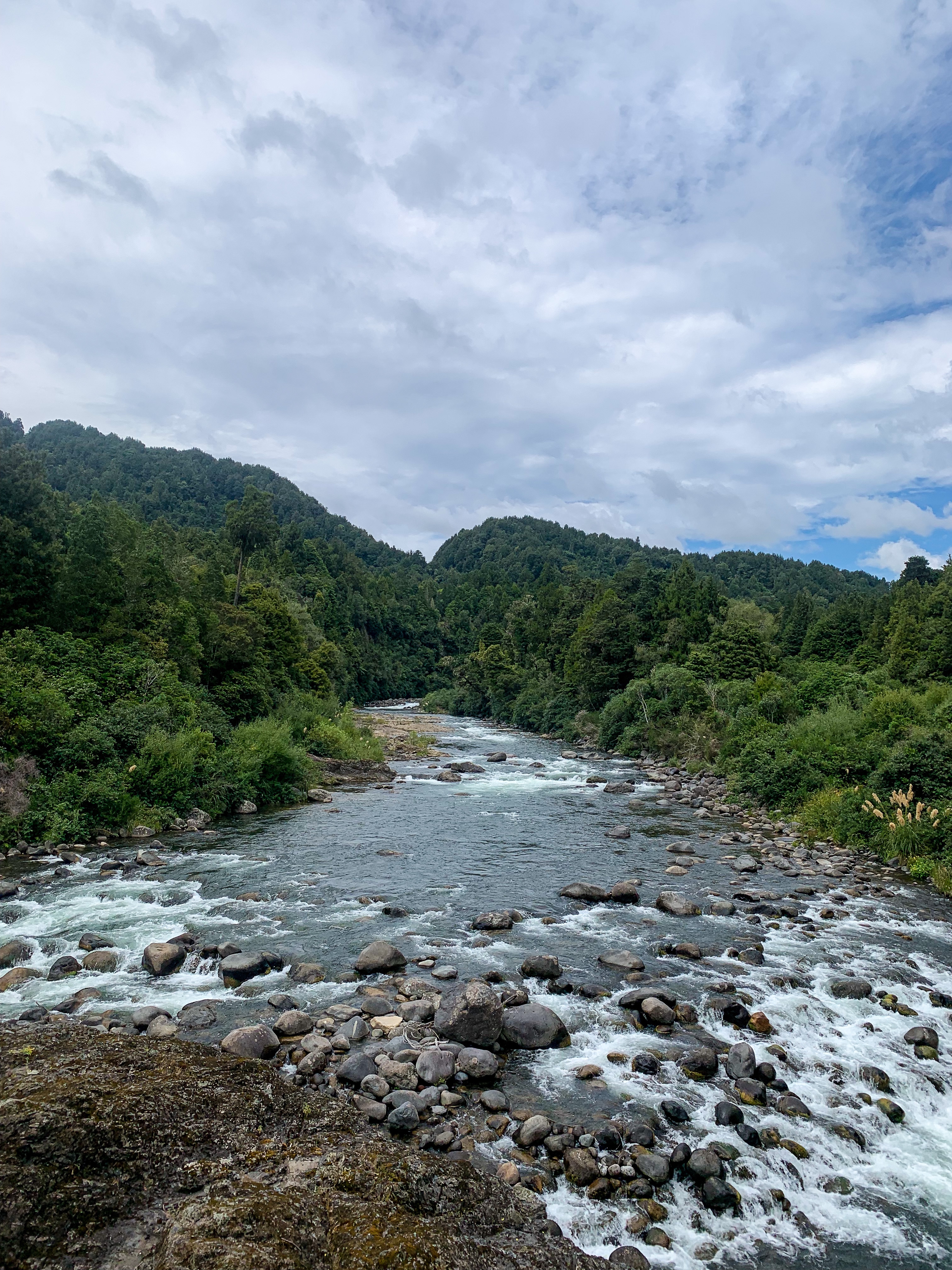
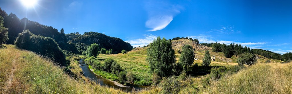
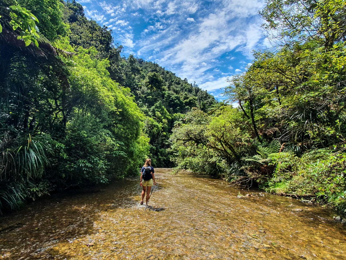
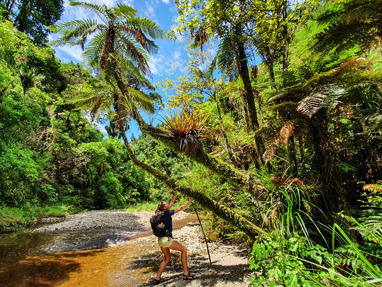
‘The trail always provides’ is a common saying you hear from thru hikers when you ask how they managed a tricky situation and this was the case for me on leaving Taumarunui. My reservations about solo river crossings were at there highest after my last encounter, so desperately I wanted to find someone to complete my next crossing with in the 42 Traverse and Waione-Cokers Track.
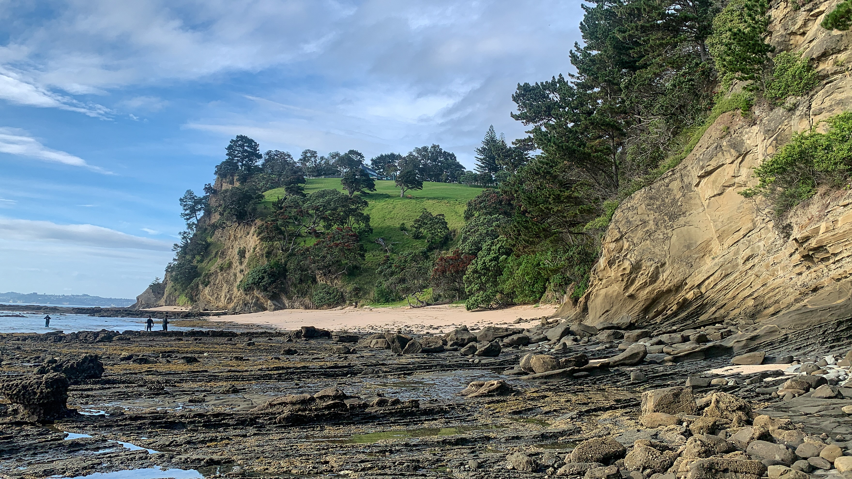
Views of the Whanganui River from the 42 Traverse & Waione-Cokers Track
Very fortunately I was joined by fellow SOBO hikers Ciara and Max! Not only did they provide safety for the river crossings, they were also great company, had top notch book recommendations and were good at finding wild camping spots.
Seeing them divide up their pack load, alternate with camp tasks of pitching the tent while the other collected water, discussing trail routes and making accommodation decisions I found myself looking forward to when I would be able to share this trail experience with someone.
While I have for the most part really enjoyed the time to myself and how far physically and mentally I have grown on this journey, there are definite moments that would have been lovely to share. And that time is coming!
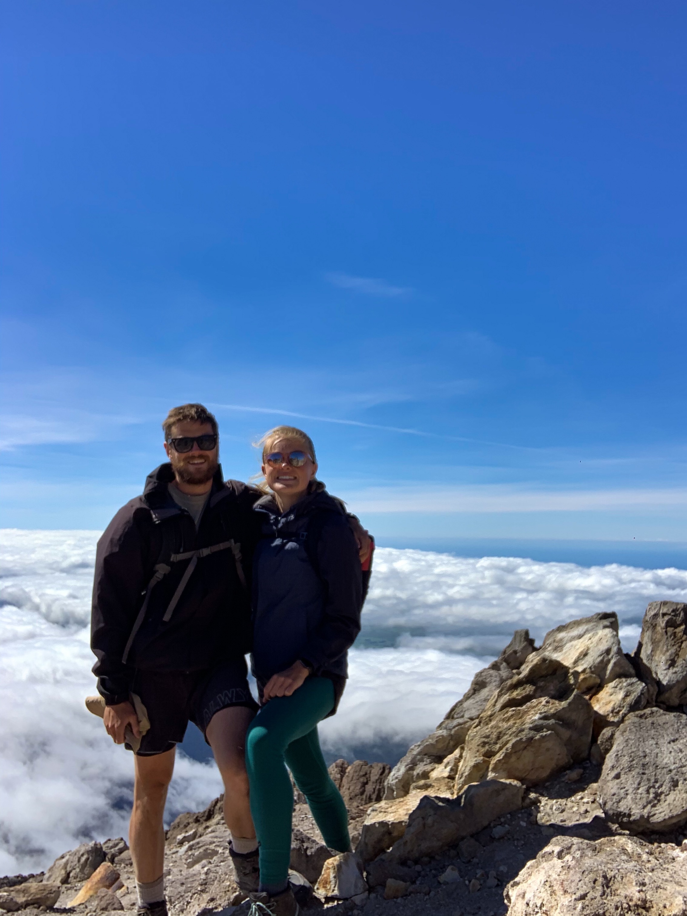
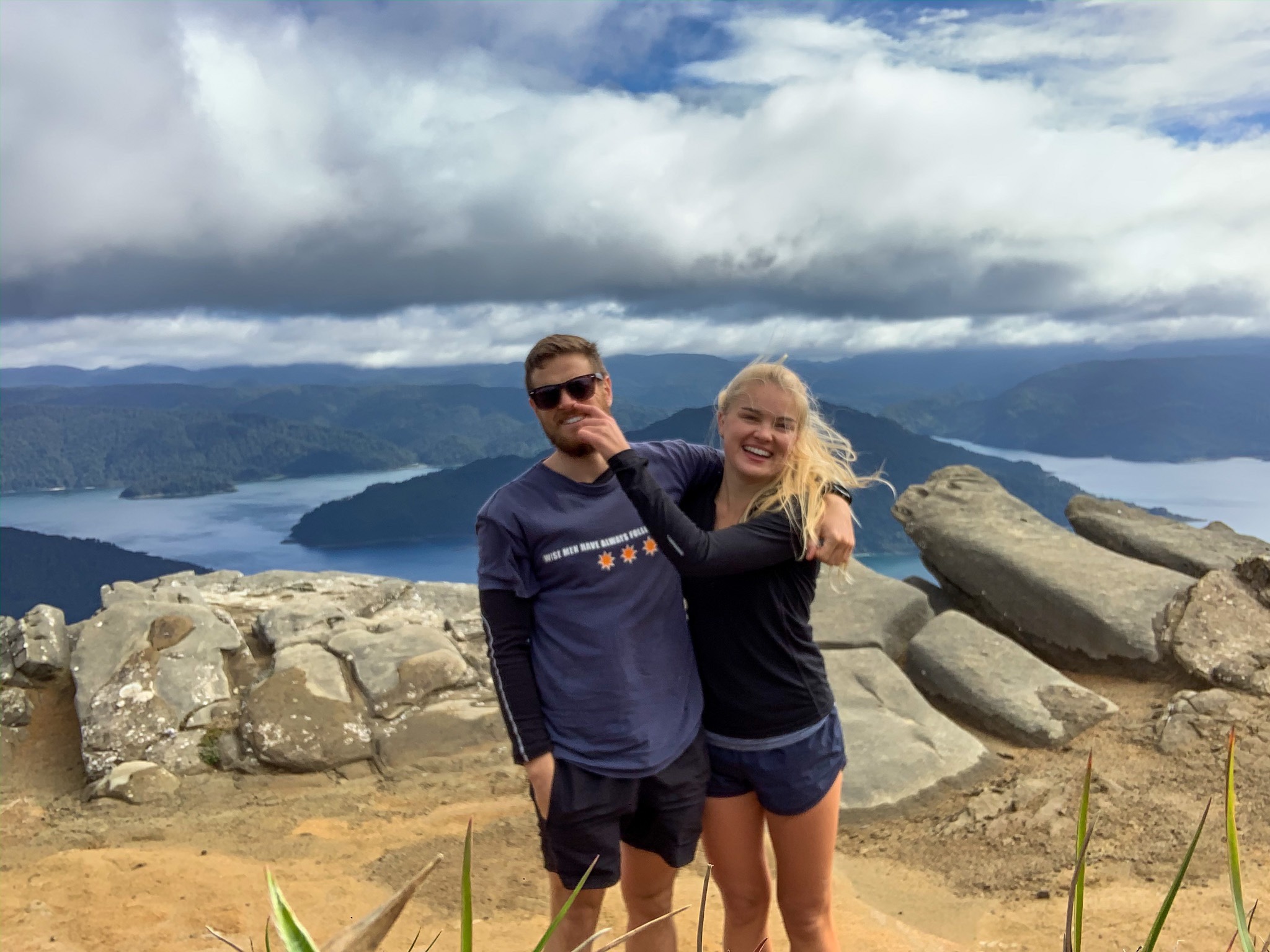
Due to lockdown I was delayed for parts of the trail which has meant that my planned South Island hiking buddy is now also my Tararua Ranges and Wellington region hiking buddy 🙂 He is the Han Solo to my Chewbacca, Harry to my Ron, Dion to my Cher and more topically Samwise to my Frodo. Well if I’m being honest I resonated more with Gollum in those movies but who doesn’t want Samwise Gamgee around, he’s the best!
Just some of the hikes we have done together; Great Barrier Island, Mt Taranaki, Kaweka Peaks and Lake Waikaremoana
So the days of always trotting solo are nearing there end… well not immediately. Sadly Ciara and Max did leave after the 42 Traverse & Waione-Cokers Track to go canoeing. However, my dad is kindly going to paddle the Whanganui River with me which I’m really looking forward to and maybe I’ll meet other trail walkers on my trot to Palmy. But you get the idea. I best soak up the me time while I have it; listen to all the Taytay, eat all the dry noodles, chat aloud constantly… because when my hiking buddy arrives things might change. I mean I hope the food improves and we may have second breakfast and elevenses but there will still be just as much Taytay 😛
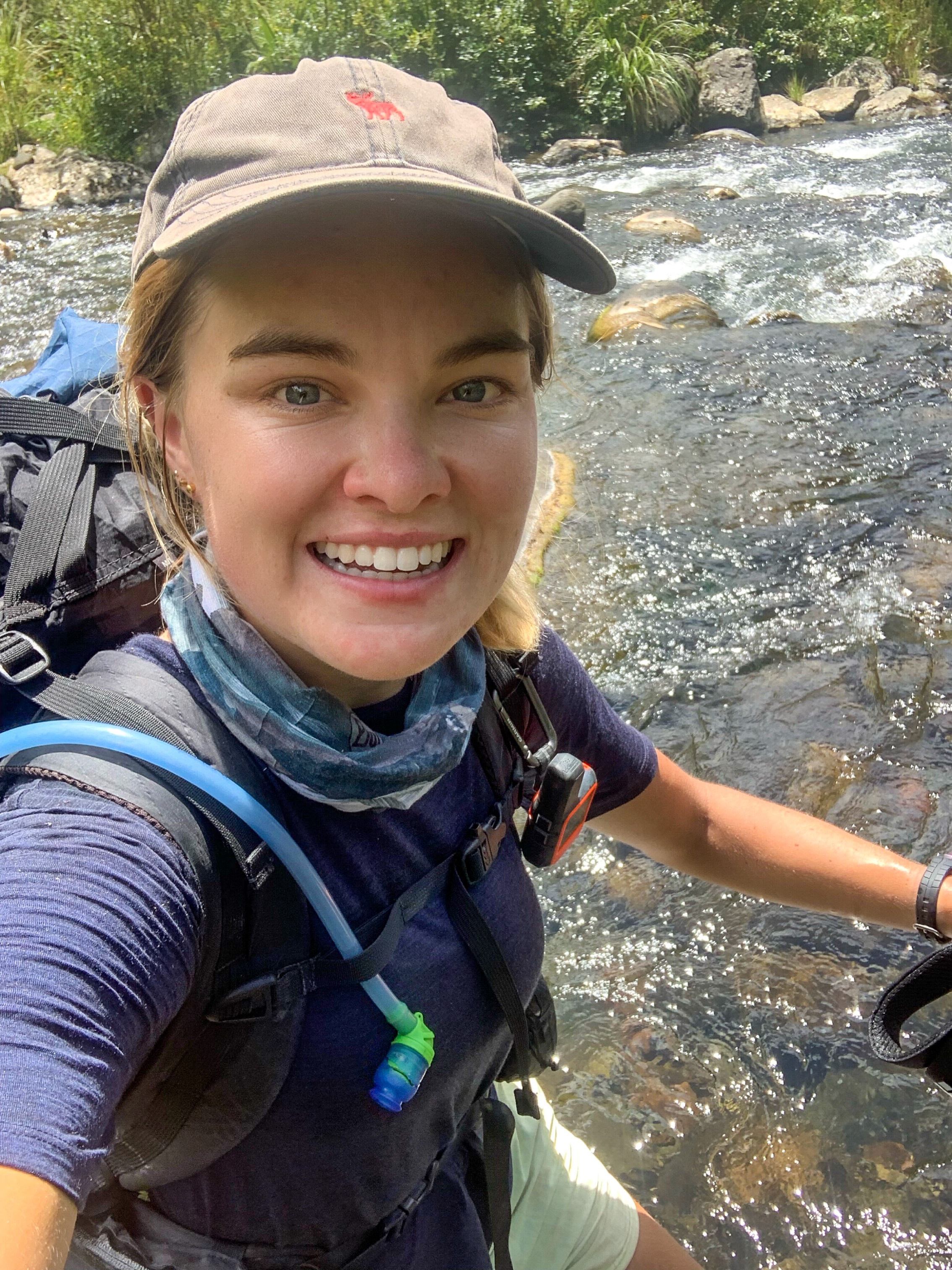
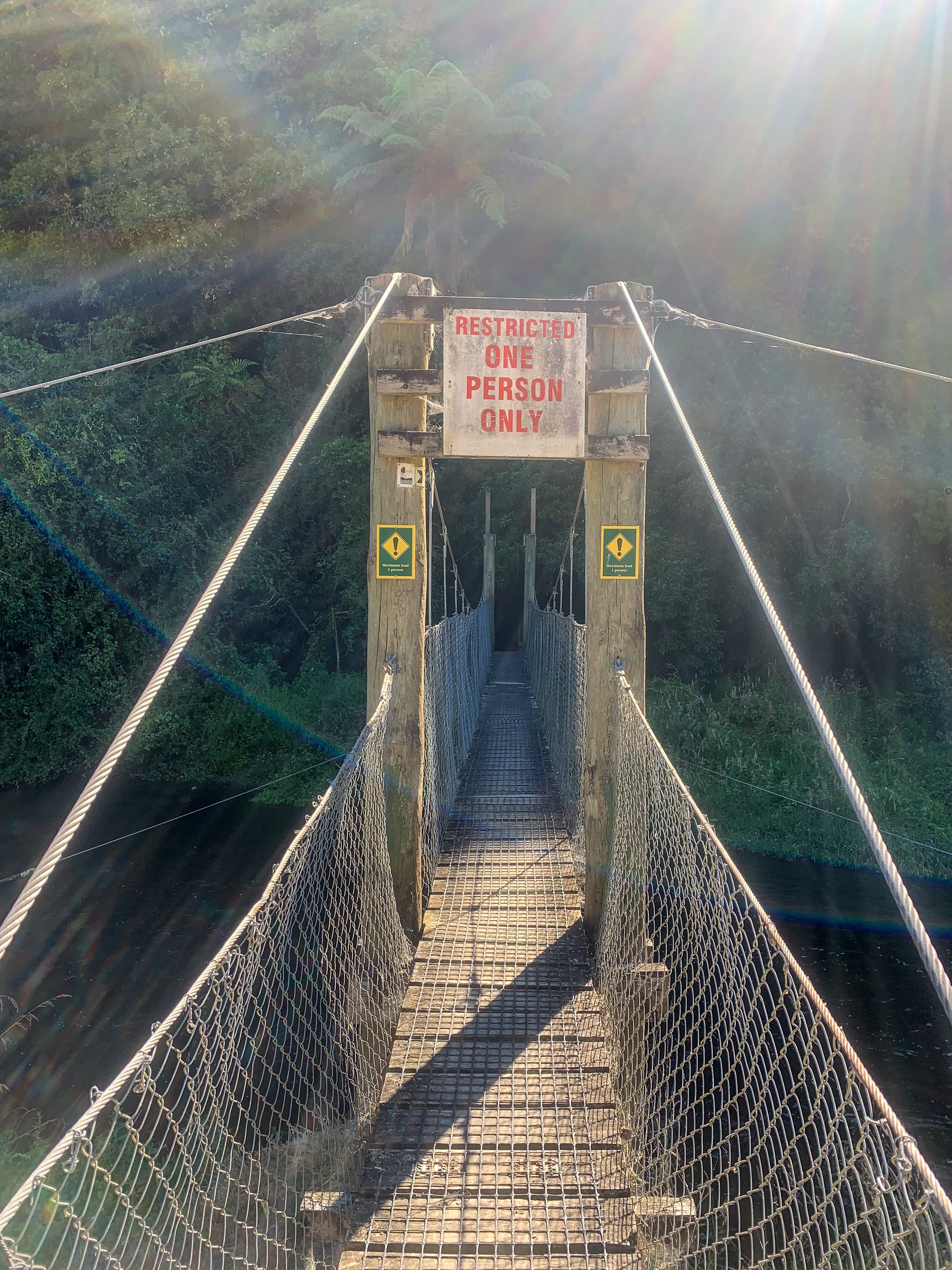
Oh and before I forget the river crossings went great! No drama. No one fell in. No one got swept away. No one cried while floating their pack across the river with their boyfriend on the cellphone in the pack on loud speaker (not that I’ve ever done that). Everything went swimmingly. Except us – which is important!
On leaving the 42 Traverse & Waione-Cokers Track and waving goodbye to my company, I trotted through the Teporere Redoubt and was awarded glimpses of the central plateau.
With views of the mountains and trail tomorrow I don’t know if this gets any better 🙂
“Life is like riding a bicycle. To keep your balance, you must keep moving”
Albert Einstein
Day 36 to 37
Day 37 – Pureroa to Piropiro ; 40 km
Day 38 – Piropiro to Ōngarue ; 45 km
Total hiked: 1022 km
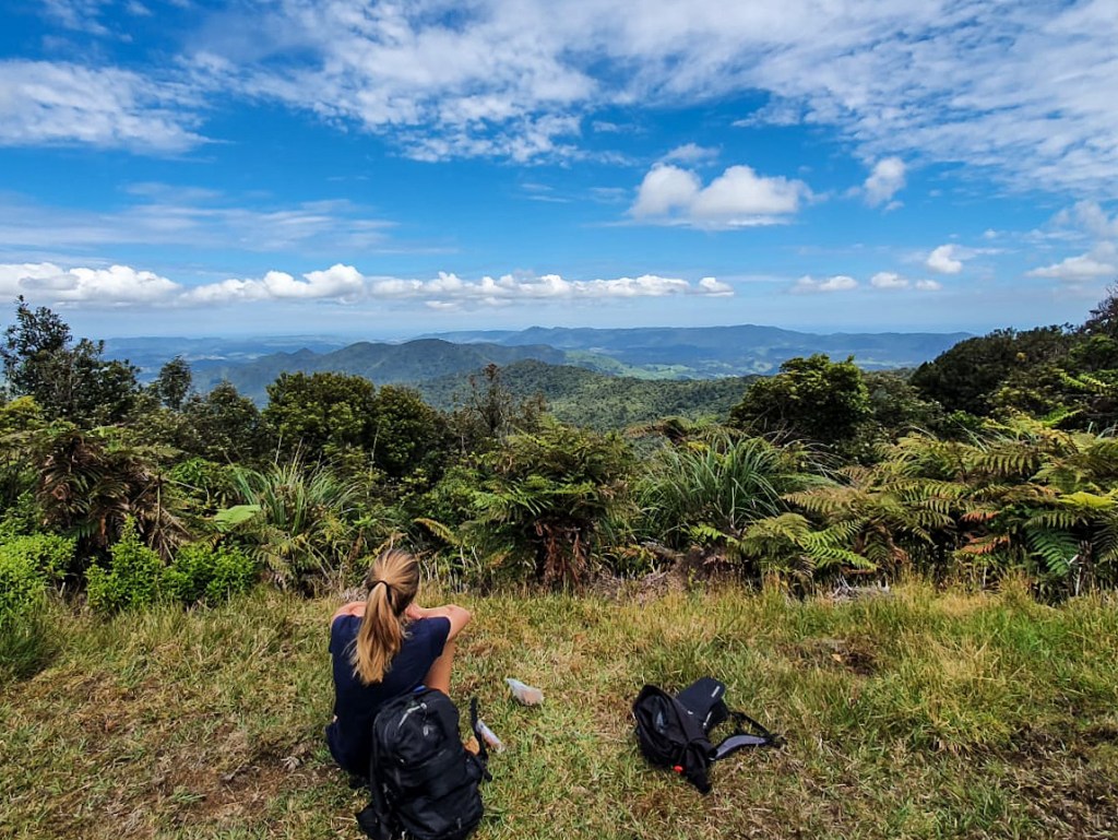
Ahh the Timber Trail, situated in picturesque Pureroa Forest and a section I have been looking forward to since the beginning!
Views of the Maramataha Bridge in the Timber Trail
But for those not common with the TT then let me enlighten you 🙂
Within Pureroa Forest is an 85 kilometre track more commonly know as the Timber Trail. A favourite amongst mountain bikers for its Grade 2-3 terrain that takes riders from Pureora in the north through Piropiro to Ōngarue in the south. And that’s the last you’re going to hear of riding because I walked this 85 kilometre trail in two days! But I thought the quote seemed fitting 😛
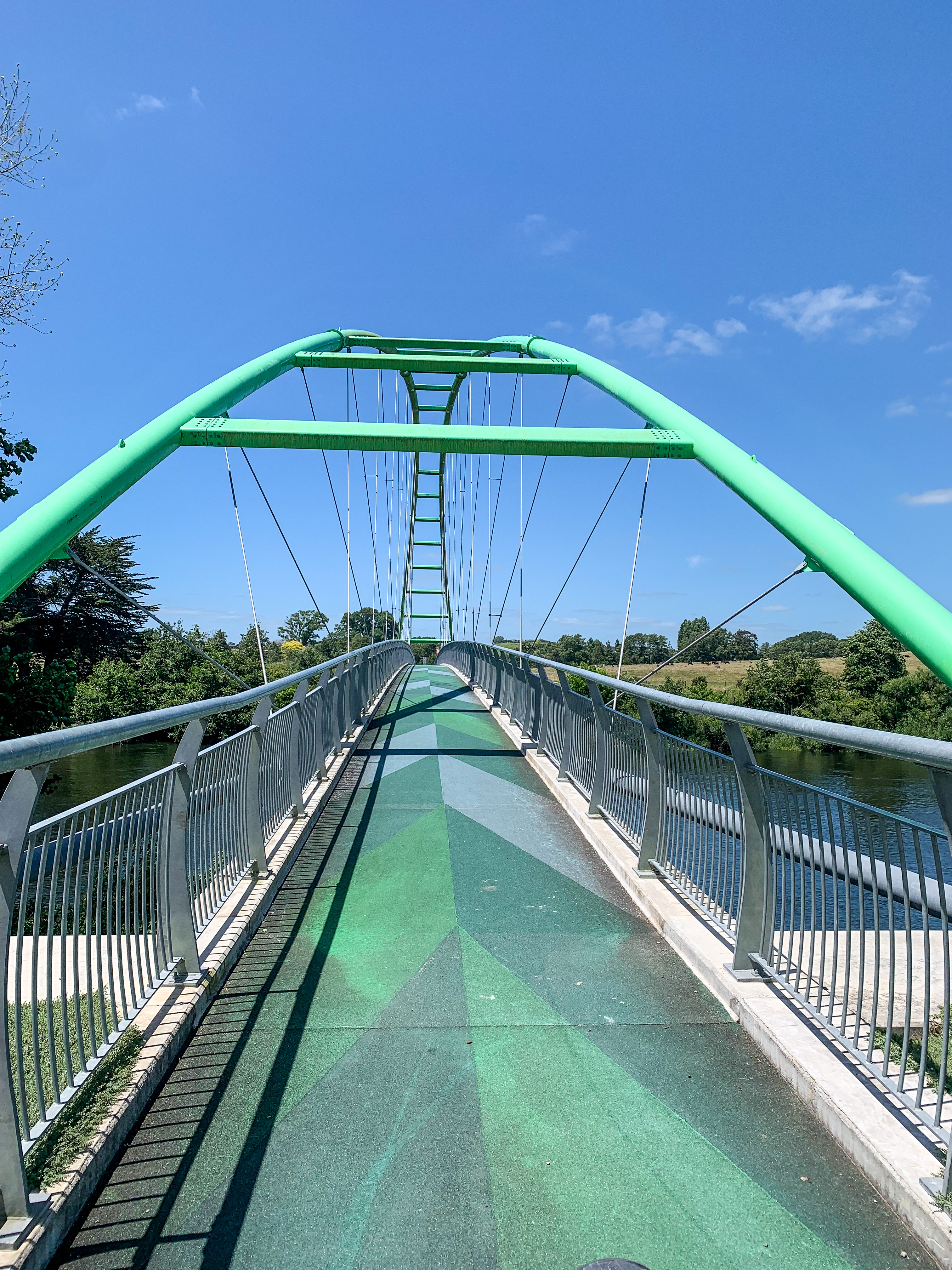
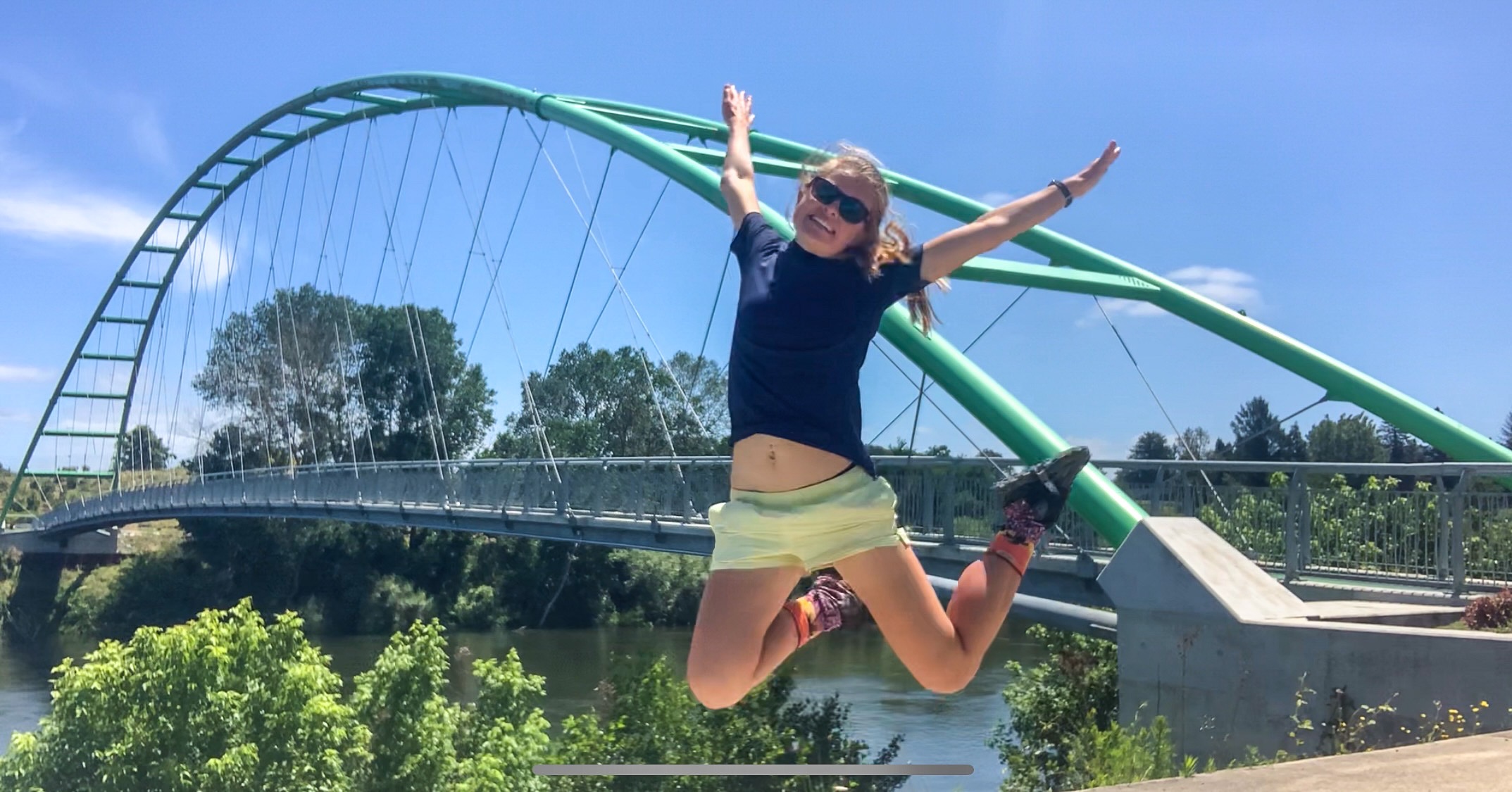
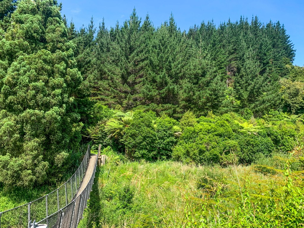
This trail was something special. Not only is it beautifully maintained with no mud insight (this was a very nice change), has panoramic views of Lake Taupō, Mt Ruapehu and the Kaimanawa Ranges, has multiple campsites, a lodge that sells pizza halfway and ample toilet options. It also contains 45 bridges, multiple of which are suspension and has the second longest one in the country; the Maramataha Bridge at 141 metres.
It was like being in TA heaven!
Thanks DOC for the priorities 😉
The first day started early for me at 06:30 from Pureora. I sent farewell messages from an obscure bench (very limited cell reception the last few days and barely any on the Timber Trail) and set off excited for the trail ahead, who am I kidding mainly for the bridges and pizza.
Starting in Pikiariki Ecological Area I heard delightful morning birdsong before beginning the steady climb up Mt Pureora when I switched it up to Taytay; who provided great tunes for the rest of my TT trot (get it timber trail and tay tay, sometimes I’m too witty).
Bog Inn Creek bridge was the first suspension bridge I trotted over; it was incredible! And a little scary as it swayed in the wind while I was on it, but mostly incredible!
Excitement > Fear
The bridges that followed that day kept my excitement levels high with each crossing 🙂
I realised while on the trail that I was going to pass a milestone; 1000 kilometres! To celebrate trotting a third of the country I decided to treat myself with a pizza and fizzy drink from the Timber Trail Lodge and stay in a swanky glamping tent at Camp Epic for the night. I think I deserved it, twas epic indeed 😛
On leaving Piropiro the following morning, I climbed through tawa and tānekaha forest until reaching the bridge of all bridges. If it wasn’t already obvious I’m a bridge frothier. Maramataha Bridge at 141 metres was supposed to ‘take my breath away’ and it did. Not just because I was a little breathless after walking up the hill but I also have a fear of heights. Excitement over the bridge was definitely outweighing my height fear though! Well mostly
Who doesn’t love some fun safety facts
The remainder of the days trot included many trees (I am in a forest after all) and bridges; highlights being the Mangakahukahu Bridge and Ōngarue Spiral. I don’t know whether I took more pictures of bridges or of my elation on each of them.
I finished up exhausted from two massive days of walking and chuffed that I had made it a third of the way through my country and completed the Timber Trail!
Trot the Timber Trail; must do I say! (I’d actually recommend you bike not trot it but that just doesn’t sound as cool haha)
Day 34 – Waitomo/Te Kuiti to Mangokewa North ; 24 km
Day 35 – Mangokewa North to Pureroa ; 36 km
Total hiked: 937 km
Hmm… is there such a thing as walking through too many cow paddocks?
Well despite whether that is true or not there certainly is a thing of talking about walking in cow paddocks too much, so I shan’t bother you with more cow paddock tales from my trot to and from Waitomo.
The views from the farm en route to Waitomo were pretty spectacular though, so I’ll share them 🙂
After a festive break celebrating Christmas and New Years with friends and family I returned to trail on a notorious section!
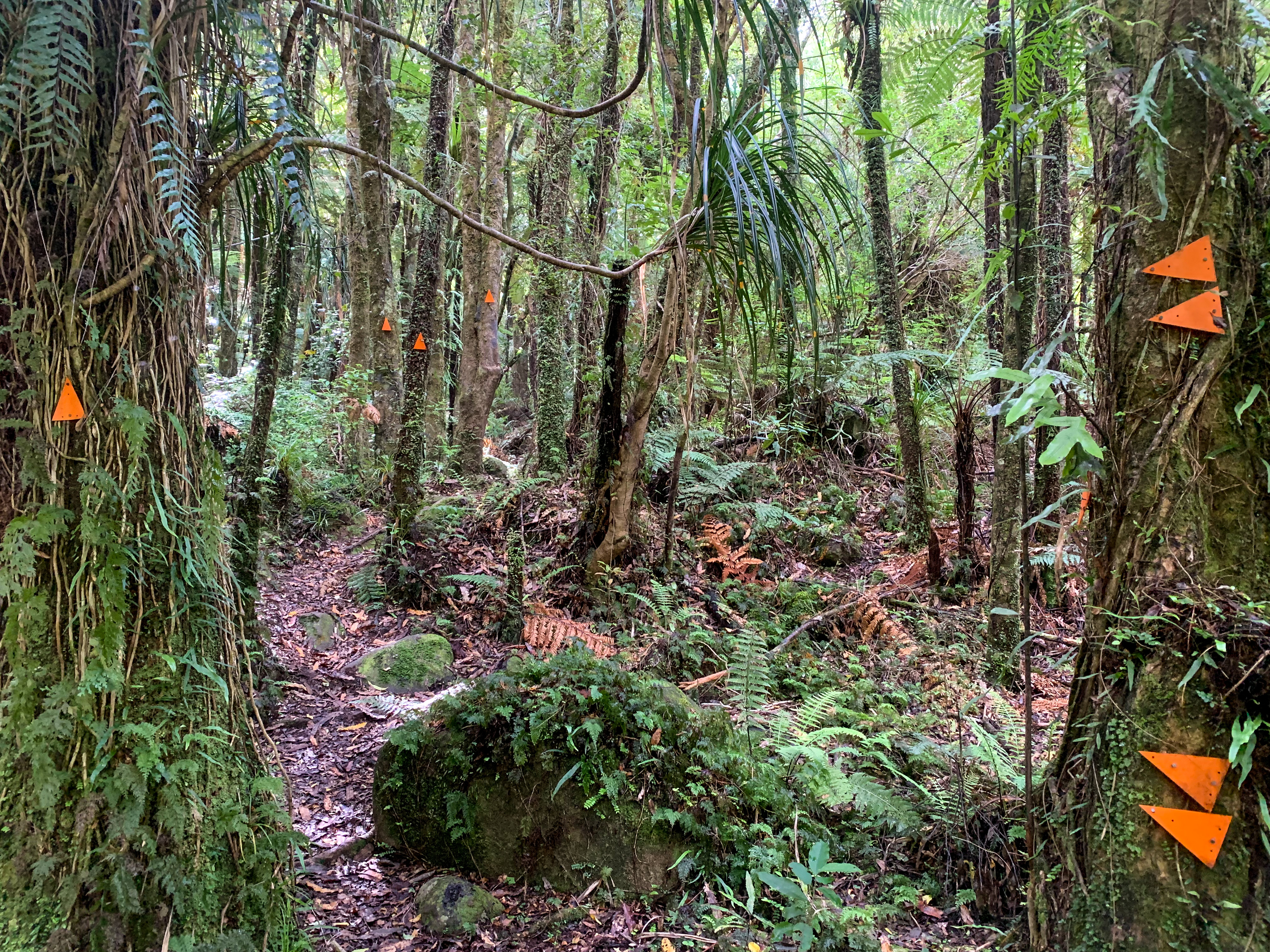
Amongst the TA trail there are sections renowned for the most mischievous mud, river rendezvous and trepidatious trail – the Mangaokewa Reserve and River Track is the latter. It’s not that it doesn’t have a trail per say… but that there’s poor signage, unkempt grass/gorse/blackberry/thorn bush, farm land (obviously I am in the Waikato), cliff edges, river sections and mud. But mainly that this all takes sooooo long to traverse!
Before you start agreeing that this is the worst section on the TA trail let me tell you my experience.
Mangaokewa Reserve Track
Back on the trail!
The day started in Te Kuiti.
I was dropped of by my lovely parents who bid me farewell and helped take a photo of course haha. I couldn’t not include the shearing man otherwise how would I know I was in Te Kuiti 😛
Starting behind the Te Kuiti limeworks industry, the Mangaokewa Reserve Track follows alongside the river providing ample bridge crossing opportunities and views of ducks floating past (that I may have got distracted by and caused me to slip 🙂 ). It was really enjoyable and I took many bridge and waterfall photos haha.
Chuffed as always to be on a bridge.
Crossing another bridge over the Mangaokewa River this time, I saw the sign everyone talks about – 15km 5hours and so the notorious track began!
Now the fun begins 🙂
I think pictures speak louder than words. So instead of detailing every slip, bog crossing, thorn bush attack, lost marker moment or amount of sweat I accumulated I’ll remind you of one thing – perspective… and include a photo of me after I puffed all the way up a big hill haha.
Perspective is everything. I’m sure you have heard people say that but this trail highlighted that entirely.
Before starting each section I usually read the trail notes and previous hikers comments to gauge whether the estimated times are correct, what is the state of the trail and whether I need extra water or to allow for tidal changes. I also always want to know if I’ll be walking through a paddock of bulls (the fear is real). However, despite my best efforts to be safe and well prepared before setting off I do find that when others comments are negative this can negatively affect me. I wouldn’t say I catastrophe every situation but I definitely castrophised this!
Starting back on trail after a break I didn’t feel ready – deconditioned, unable to carry a heavier pack load, not experienced enough to navigate this, unable to walk this far in the heat. Not ready!
Previous hikers this season recounted the trail taking 10-11 hours, getting lost repeatedly, near death slips, mud, so much mud! Just plane awfulness. Some recommended skipping this part, others stated that if you weren’t competent to do it then why are you walking the trail at all. The negativity from experienced hikers planted a seed of doubt, a seed that with time off the trail started to grow.
The night before I was due to trot this section, upset that I wasn’t good enough and unlikely to successfully complete it I was reminded to “just do it”.
That may seem silly but it was exactly what I needed to hear. How was I going to know if I was good enough if I didn’t try. Sure people may say this and that, but they don’t know me, they don’t know what I’m capable of. I’ve made it over 800 kilometres so far, surely I’ve learnt something in how to navigate a trail. Lastly but maybe most importantly, it is not a race, if I take 8 hours great, 12 hours fine, in the end I am only in competition with myself!
So that morning after my picture with the shearer and completing the initial reserve section of the trail I did it, I just did it!
The elation at finally seeing this sign
Walking into camp that night I felt euphoric. I had done it. It wasn’t awful like everyone made it out to seem. I actually had a good time. I listened to bird song, walked through paddocks of sheep, inched my way around gorge edges, cooled off in the river, came face to face/arm/leg/everything with all matter of gorse and thorn bushes, got lost then re-found the trail multiple times. But most importantly I did it. I set out to try something and I did it! Even walked through a bull paddock at the end, ideally I won’t be doing that too much more.
So many bulls 😦
The following day I trotted and trotted some more, 37 km to be exact along gravel road to Pureroa Forest and the start of the Timber Trail. But you can read about that in the next blog 🙂
‘Whāia te iti kahurangi ki te tuohu koe me he maunga teitei’
‘Seek the treasure you value most dearly: if you bow your head, let it be to a lofty mountain’
Māori proverb
Day 31 – 32
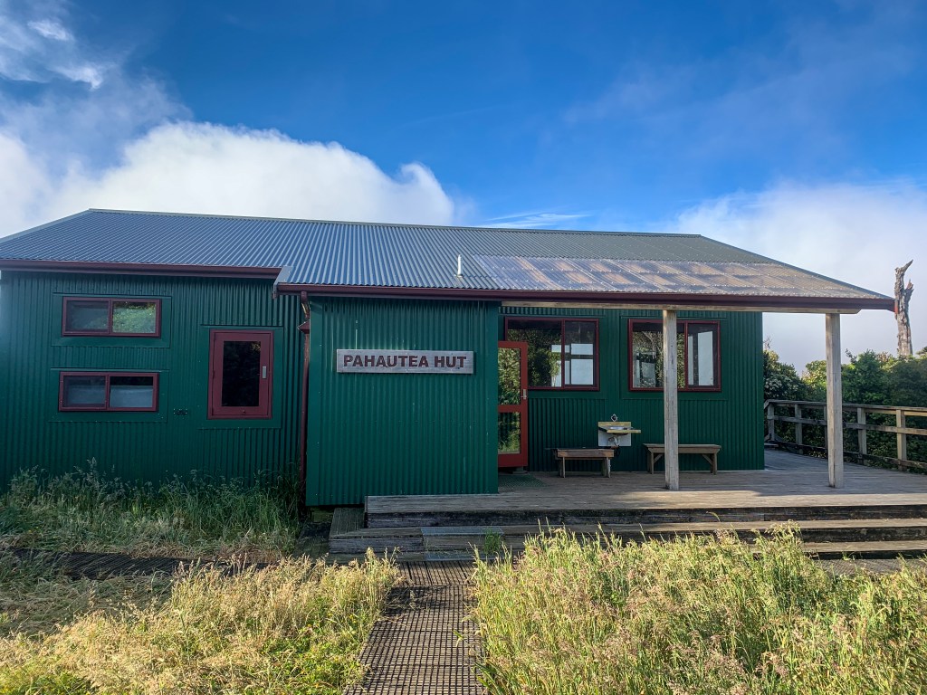
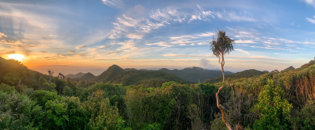
Day 31 – Kaniwhaniwha Reserve to Pahautea Hut ; 11 km
Day 32 – Pahautea Hut to Te Raumona ; 18 km
Total hiked: 841 km
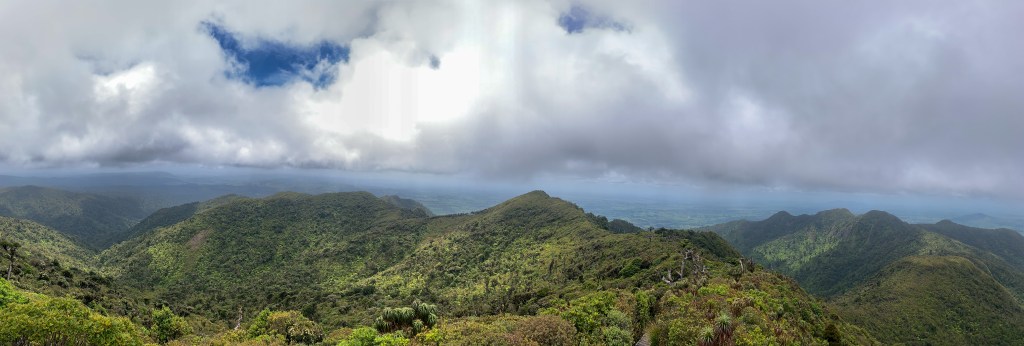
Pirongia Mountain… what a maunga or would it be more accurate to say what a lot of mud and bog!
I decided to walk up and down Pirongia in two days so I could stay in the first DOC hut on the Te Araroa Trail and for the view (but more on that later).
Views from Pahautea Hut across Pirongia Forest
The trail involves ascending via the Nikau Walkway then Tahuanui Track and descending on the Hihikiwi Track.
Starting the Nikau Walkway on a clear sunny day I enjoyed the flat terrain, bush track and multiple Nikau Palms that provided shelter as I quickly trotted through making it to Kaniwhaniwha Campsite and onto the Tahuanui Track. Estimated to take 4-5 hours I was stoked that after only 90 minutes I had completed 5 kilometres and had a glimpse of Pirongia Summit. Little did I know the scale of mud awaiting me in the upper 3 kilometres
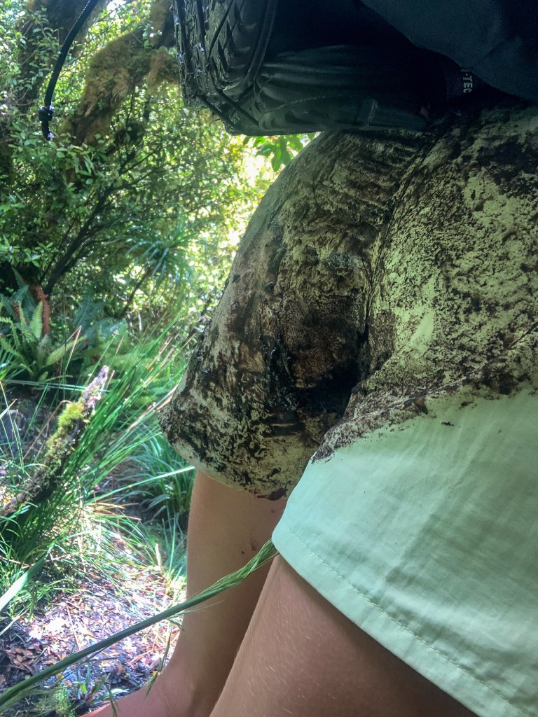
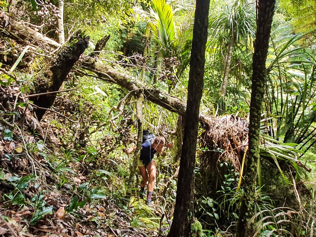
Pirongia Summit at 959 metres is the highest peak in the Waikato Region. Renowned for being a very wet forest and frequently in cloud cover, the upper portion of the trail to the summit did not disappoint with what can only be described as mud, mud, mud and more mud. Initially I enjoyed using the tree branches to swing from trail edge to rock, tip-toeing along the ridge line and balancing over tree roots and shrub as I skipped over the mud.
All until I misjudged a bent tree branch, committing all my body and pack weight to swing from the edge of a mud puddle (more like river), just as the branch unfurled and I ended up butt first in the puddle with my arms and legs sprawled in the air. Not ideal. From there on I became very hesitant with every step and took 3 hours to complete the last 3 kilometres to the summit.
When I finally made it to the summit of Pirongia the spectacular views made it all worth while 🙂
Pirongia Forest
At Pirongia Summit!
I did it!
The views from Pahautea Hut during the evening were masked in cloud cover but an early morning wake up for sunrise with clear skies, a coffee in hand and snug in my fleece couldn’t be beat!
Views from Pahautea Hut
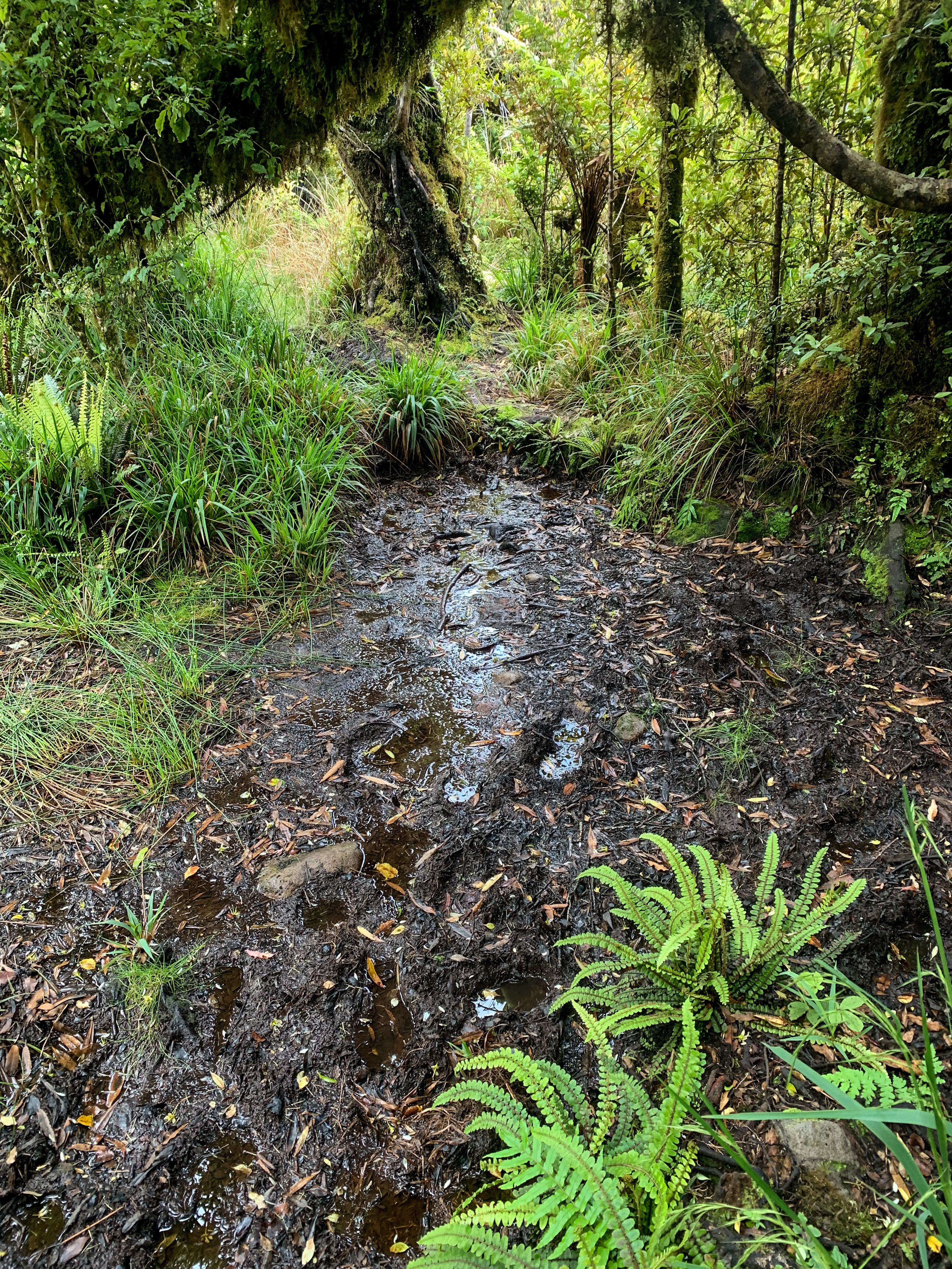
If I thought there was mud on the ascent of Pirongia then the descent down the Hihikiwi track was something else entirely.
Initially starting on the Noel Sanford boardwalk (I wish there was more boardwalk) on the hike to the Hihikiwi Summit at 900 metres was a breeze, everything afterwards was not.
Continuously climbing up and down tree roots, avoiding bog, slipping down rocky outcrops all while precariously balancing on my hiking poles was timely and took its toll physically and mentally.
The hiking poles supported me throughout the entire descend; as stability when balancing on branches while avoiding the sometimes 120 centimetres (yes I managed to place the entirety of my hiking pole in a mud puddle) deep bog and emotionally when I felt exhausted and isolated in a forest I no longer wanted to be in. I realise they’re carbon fibre hiking poles not real people but during those hours of trotting the Hihikiwi Track I was reminded of the importance of having support in you life. Whether that’s a partner, parents, siblings, friends, colleagues, anyone; knowing you have people to turn to, chat to, ask advice from when you’re feeling down is really something to not take for granted. I told myself that my current mood and negativity was a passing feeling and when I made it to the end of the track I would be proud of myself – and I was!
As I walked the final 12 kilometres of gravel road feeling accomplished, not just that I had conquered a big maunga but that I had conquered my self-doubt and negativity I soaked in the splendid views of Kawhia Harbour, rolling hills of the Waikato and sun as it sizzled down (sunblock and zinc were in full use).
I ended the evening with the help of the lovely trail angels Casey and John who let me pitch my tent on their lawn, provided a hot shower and Christmas chocolates. Thank-you 🙂
“May you always see the light in the little things”
M.H.N
Day 26 – 30
Day 26 – Mercer to Rangiriri ; 26 km
Day 27 – Rangiriri to Huntly ; 16 km
Day 28 – Huntly to Hamilton ; 28 km
Day 29 – Hamilton to Whatawhata ; 26 km
Day 30 – Whatawhata to Kaniwhaniwha Reserve ; 21 km
Total hiked: 812 km
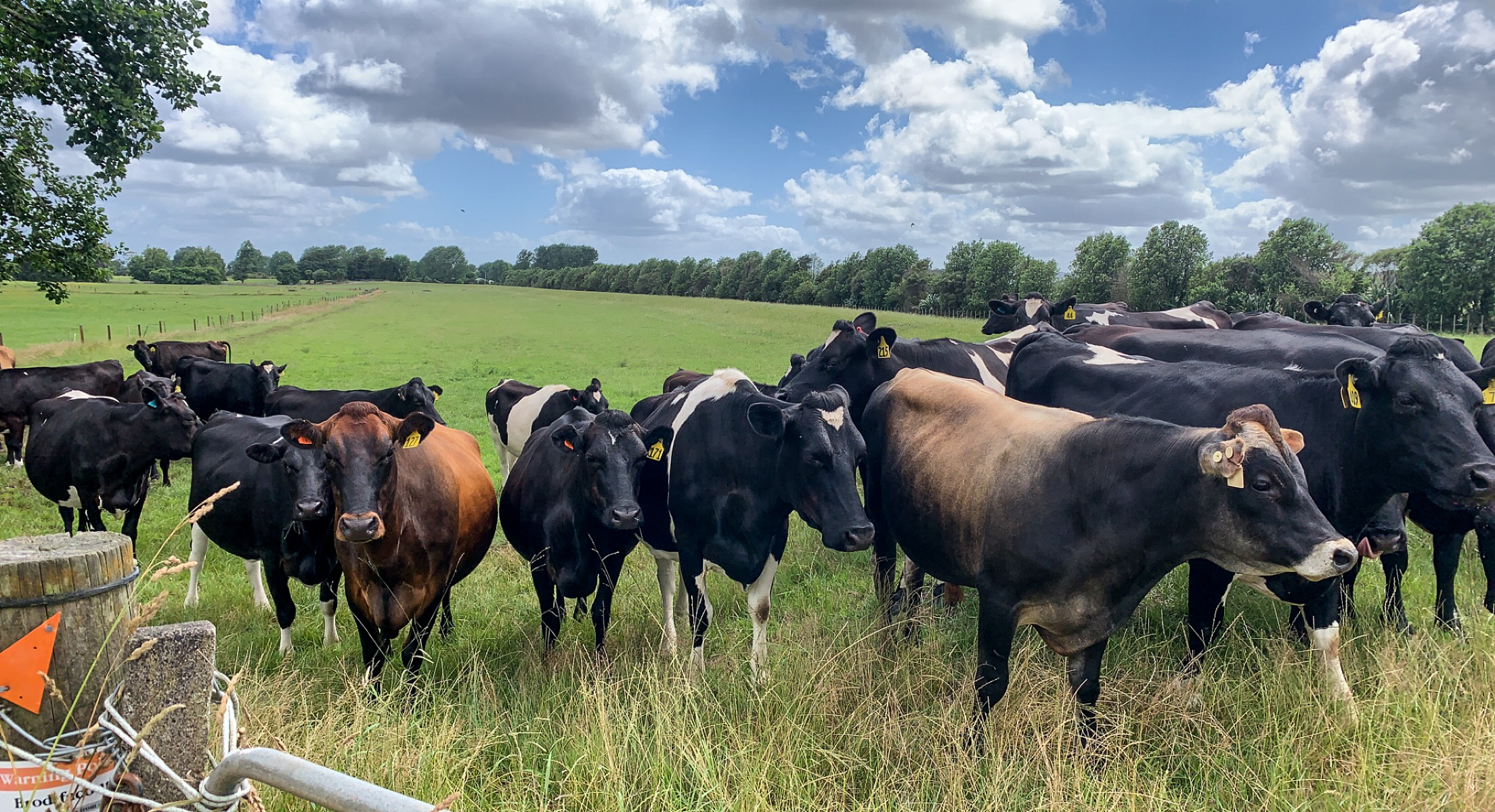
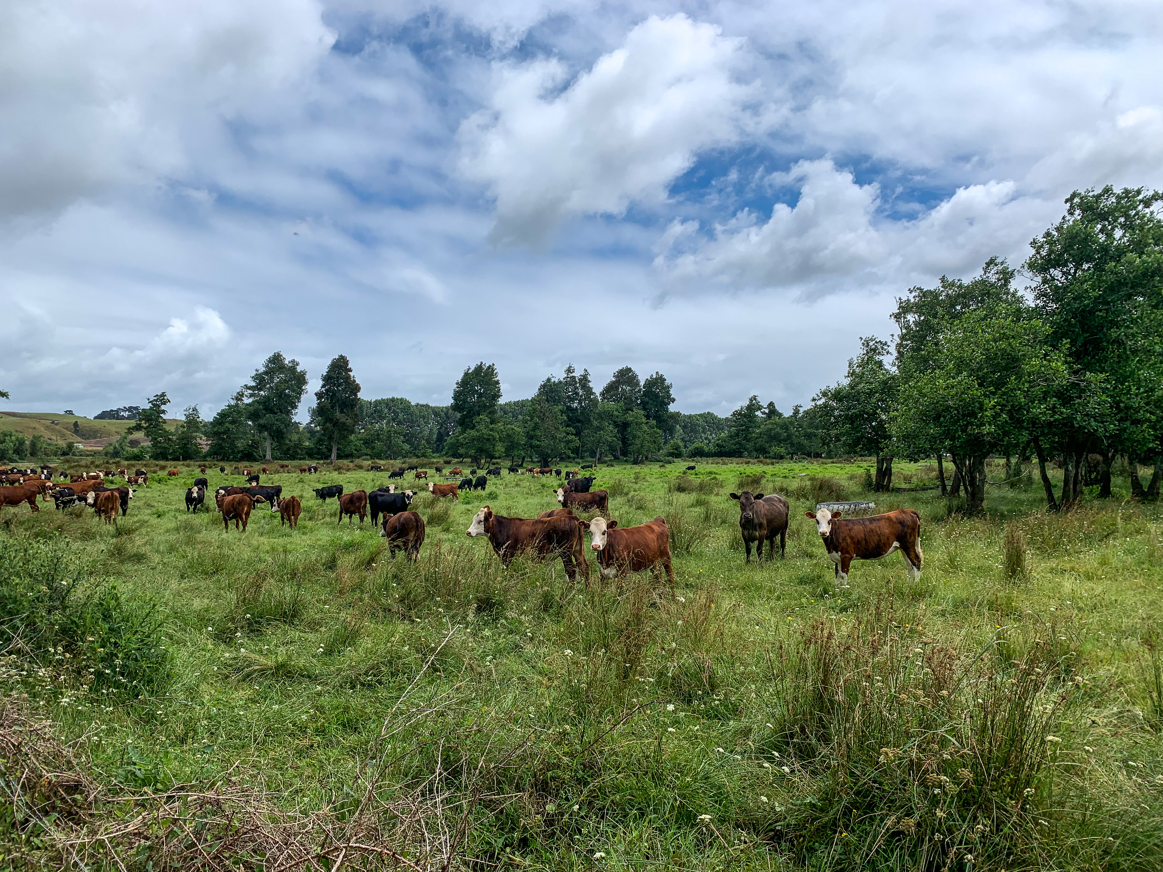
Before I start this blog I would like to offer a P.S.A to explain what it exactly means to walk a farm track. Given the Waikato contains a lot of farms that I have now traversed I feel pretty knowledgeable at detailing the variations of farm one might encounter should they trot through.
Farms contain all matter of livestock including curious cows, shy sheep, gallivanting goats, daunting deer and BIG bulls. Walk along the fence line of any paddock incase you’ve mistaken a curious cow and instead a big bull starts charging.
Paddocks have variable terrain. Undulating hills (TA trail speak for pointless ups and downs), many hoof divots and uneven surfaces to roll an ankle on.
Irrigation. Unfortunately, drains aren’t really a staple in the long grass of farms. Mud, more mud and constant hoof prints stirring the mud are more common.
Maintenance. Gone are the DOC expectations for keeping the path relatively clear or well sign-posted. Long grass, multiple gorse bushes and tree felling make finding the orange triangles and trail just as hard as bush-whacking through it.
Streams. Yup farms have many streams running through them. Great for hydrating the animals but less so for trotting through the runoff at knee and sometimes thigh depth. Let’s not forget the smell afterwards.
Electric fences. So far its fences 2 : Alex 0, they do really wake you up after they zap you though!
You know you’re in the Waikato when…
Ugh the walk from Mercer was rough!
Well actually just the first three kilometres were rough for all the reasons listed above. The remainder of the farm walking that day was good.
I walked amongst a variety of cows confirming I still don’t like walking in paddocks. But the smaller, let’s call them teenage cows gave me confidence in my cow paddock abilities. The bigger, curious ones did not. Making it to Rangiriri that afternoon I felt like I could conquer any cow paddock, well any with small sized cows haha.
Cathy, a trail angel and exceptional pie chef let me stay on her lawn and gave some insightful trail advice from years of hosting TA walkers – “It’s more than just walking everyday. You have to motivate yourself to carry on when you’re alone, when you’re tired, cold and take each step further. No one will understand but the people who have walked before you. You will be a changed person when you finish this”.
Thanks for the inspiration Cathy and the pie, delish!
Mmm pie 🙂
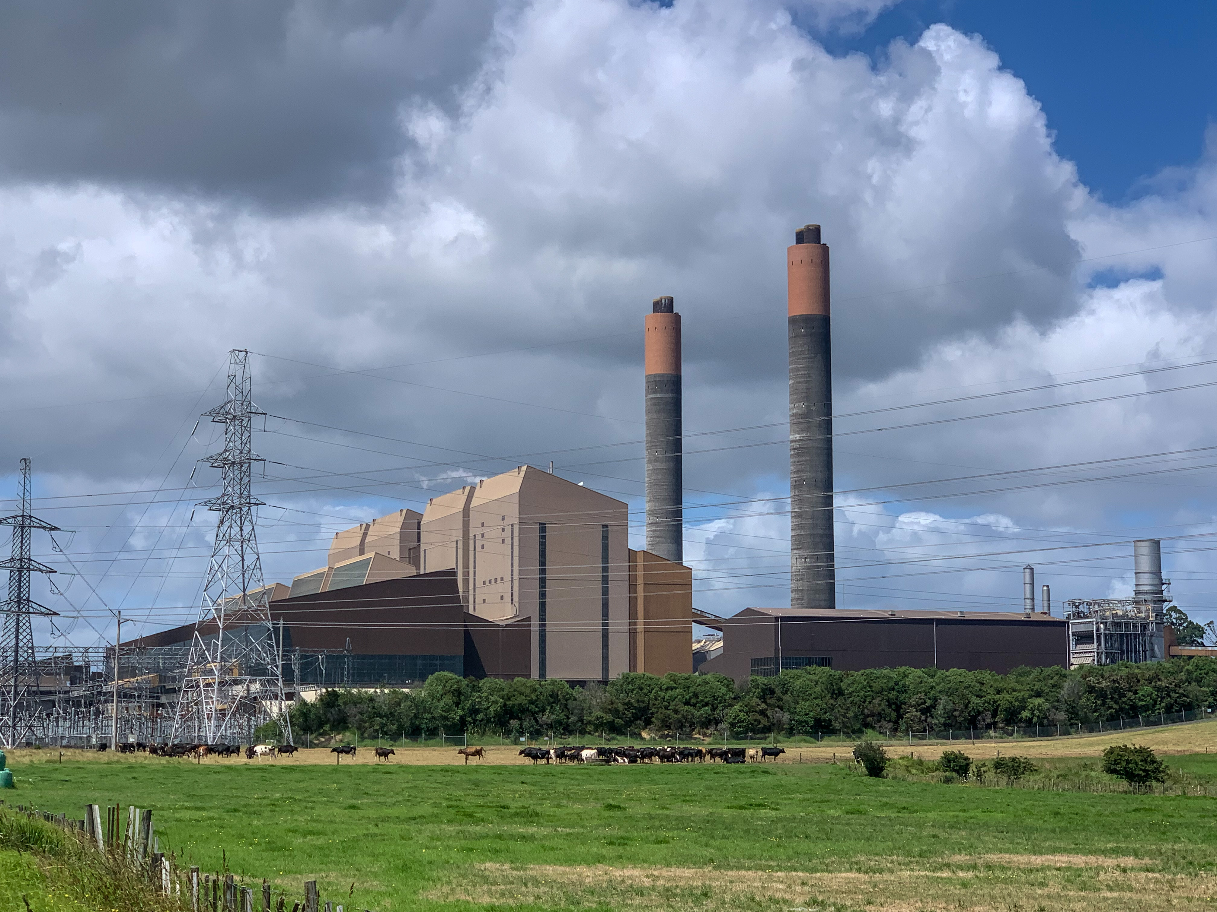
The following days trail to Huntly involved more cow paddocks (surprising) and a sighting of what Huntly is known for… the power station.
Views from Hakarimata Track – Huntly aspect
The Hakarimata Track from Huntly to Ngāruawāhia was next on the Waikato trail. What started and ended with over a 1000 steps in elevation, a lot of sweat and many hills to climb, provided great views across the Waikato region and wasn’t nearly as arduous as other trail hikers suggested. During university I had two placements in Te Aroha, a small rural town located south of Thames where I developed a close relationship with the staff and wider community where I was introduced to the idea of trail running. Normally a long distance runner, the concept of not running on a formed concrete path was new to me at the time. My first attempt at trail running while on placement there quickly turned to walking and then staggering my way up Mount Te Aroha, the tallest point in the Kaimai Ranges at 952 metres. To see this maunga now 6 years later was humbling, look at how far I had come from my first attempt at hiking to now trotting the length of the country.
The trail from Ngāruawāhia to Hamilton follows the Te Awa Walkway alongside the Waikato River. Yup I have been walking along this river for 4 days now; she’s a long river! The trail passes the Tūrangawaewae Marae (which I stayed in as a university student), the spectacular Perry Cycle Bridge (that I took many pictures with of course), through Braithwaite Park and all the way to the Centennial Steps.
I trotted into Hamilton City that afternoon, was greeted by my Gizzy Gal friend Sarah and stayed with her for two nights while I completed the Hamilton City and Whatawhata sections. I think the new edition of Murphy to her family should get a special mention – look how cute he is 🙂
The next section from Whatawhata to the base of Pironga at Kaniwhaniwha Reserve provided more farm land and bush track. Unfortunately, the fear of bulls continued and after a much needed pep talk, I started the trail with an “I am Lara Croft, Tomb Raider: Farm Edition” manta which really helped (thanks N.D). What also helped was the paddocks only contained sheep, but I’m still Lara Croft 😛
Pirongia Forest
That night I stayed with Sarahs lovely parents Gary and Jeni who amongst being an excellent taxi service to and from the trail the past few days and providing all matter of summer fruit treats, also helped boost my morale prior to scaling the Pirongia maunga the following day!
Keep trotting everyone 🙂
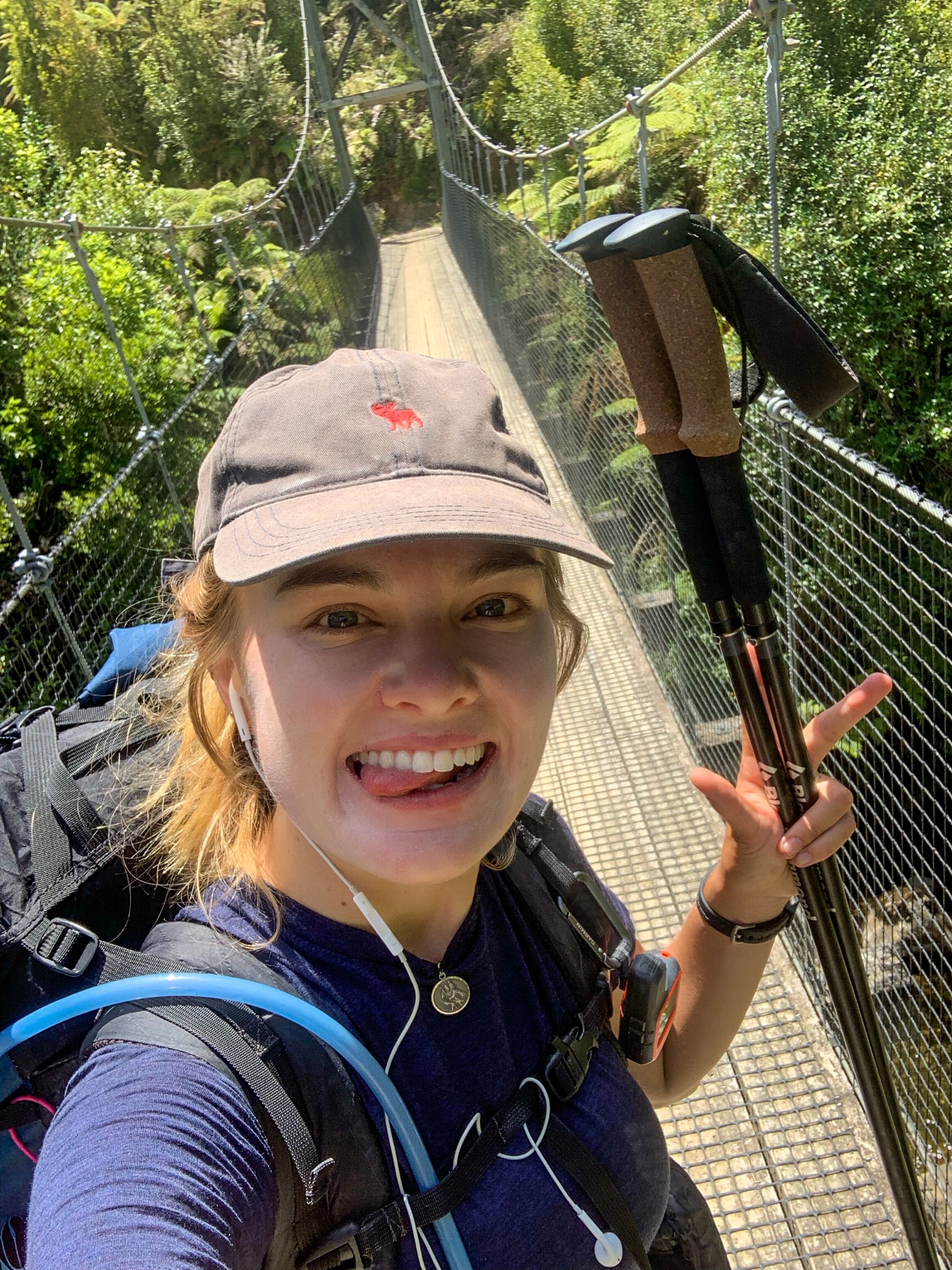
Surprise boundary crossing (also a busy bridge so no leap sadly)
“Attitude is a little thing that makes a big difference”
Winston Churchill
Day 21 to 25
Day 21 – Stillwater to Devonport ; 33 km
Day 22 – Devonport to Ambury Farm ; 20 km
Day 23 – Ambury Farm to Papakura ; 39 km
Day 24 – Papakura to Bombay ; 16 km
Day 25 – Bombay to Mercer ; 25 km
Total hiked: 695 km
When someone describes going on a hike whether that be a day, overnighter, multi or thru, one probably doesn’t imagine trotting the suburbs of Auckland in their endeavour. But thats just what I did.
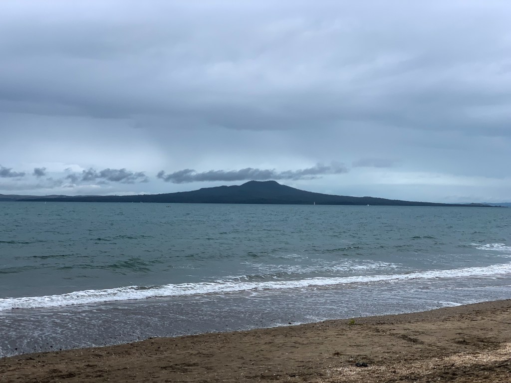
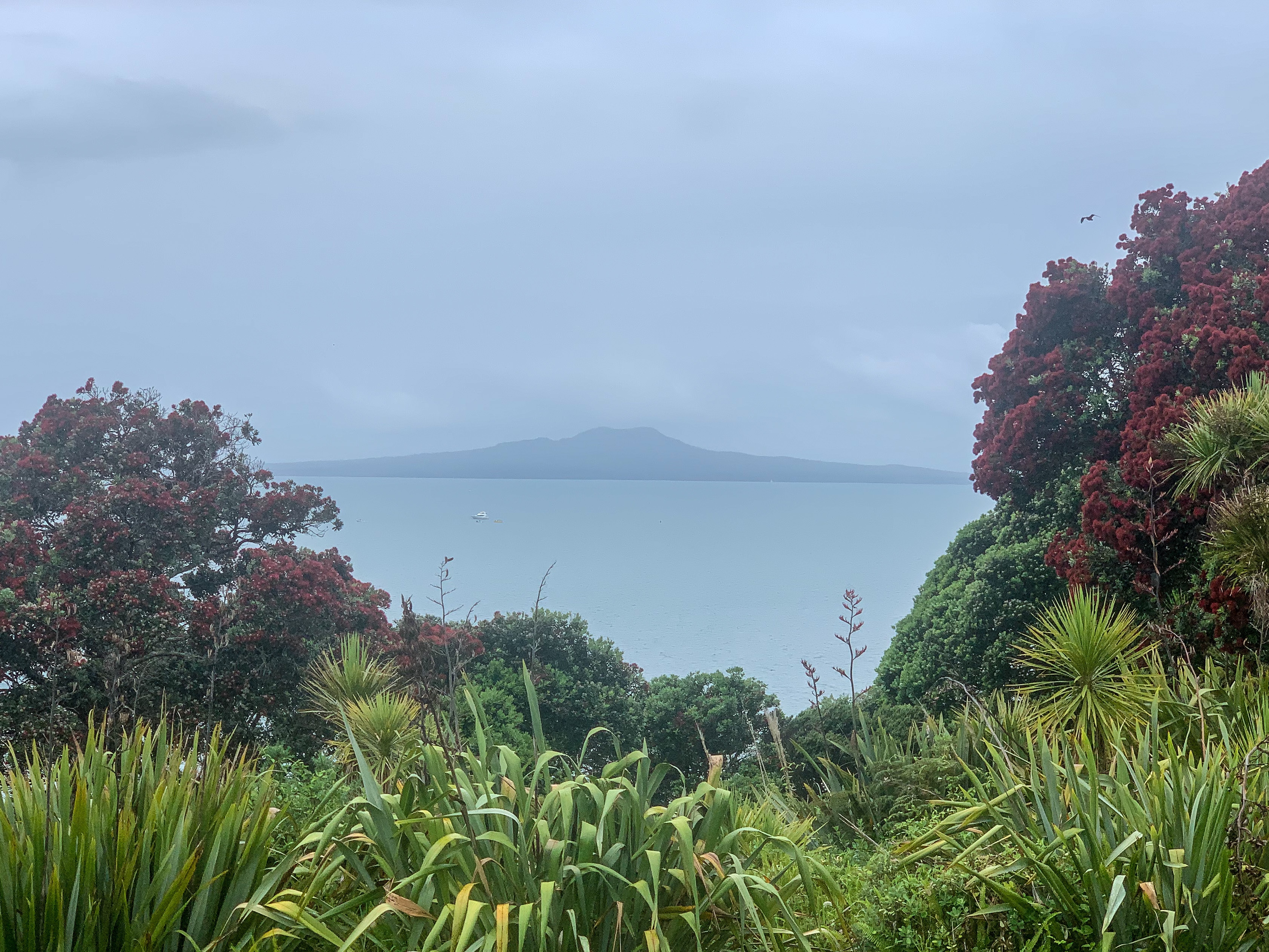
Rangitoto Island
As a former JAFA (during the first 20 years of my life) I feel it is my duty to remain positive about walking through New Zealand’s largest city. So I shan’t share details about the horrendous traffic, relentless rain and never-ending roads that occurred; but that did happen. Instead, I will only tell tales of the enjoyable experiences I had trotting this magnificent metropolis of 1.7 million JAFAs. Well, those and stories that were horrible at the time but with hindsight have become lessons in thru-hiking and actually quite funny “if it’s hysterical, its historical”.
So the story of my terror, sorry I mean joy (forgot I was trying to be positive) began at Okura River.
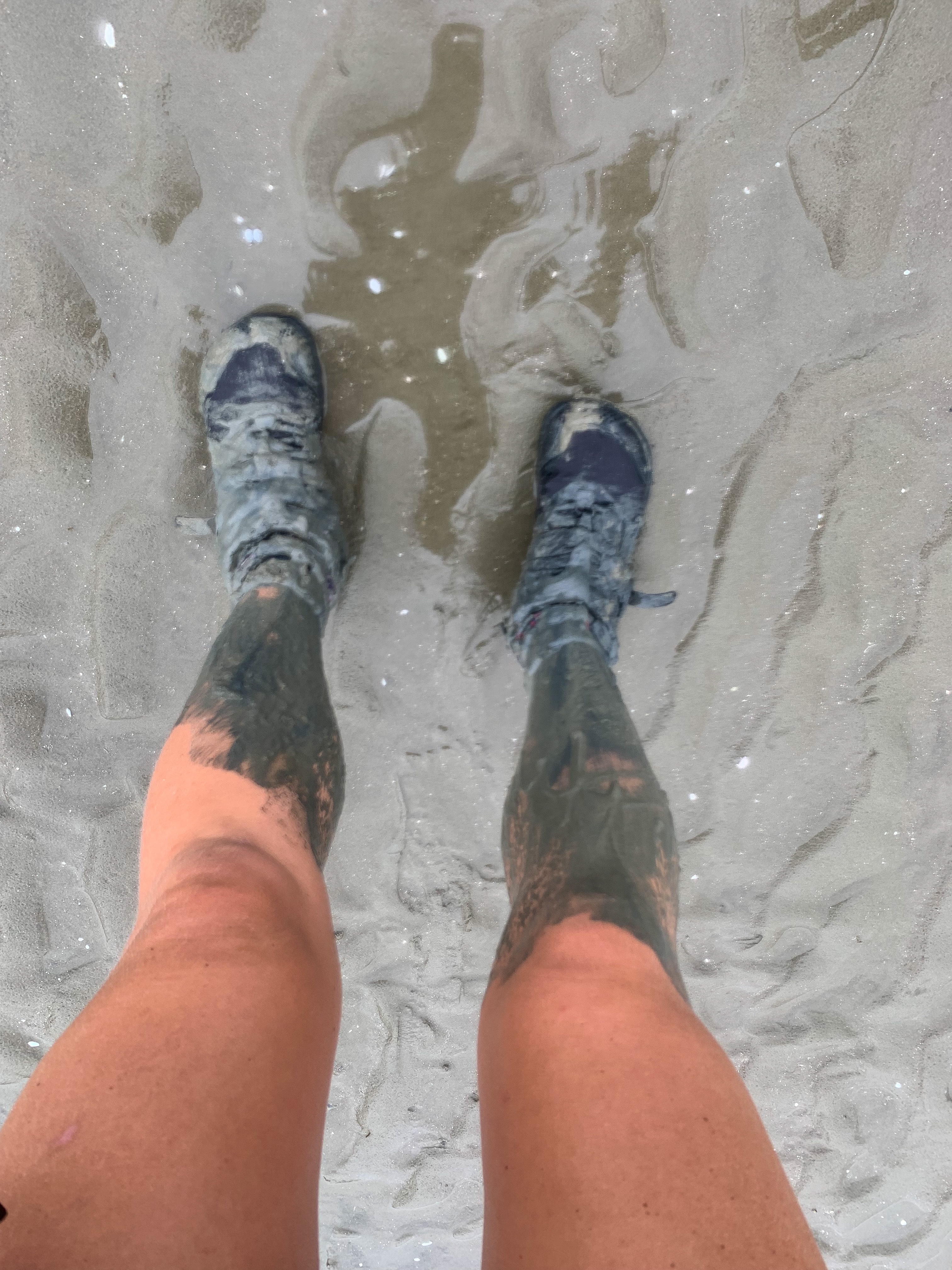
Four steps in and the water made it to my chest, I was cold and freaking out. Quickly retreating and uncertain how much deeper the water would get nor how to proceed, I did the only logical thing someone would do and phoned Nate. No he was not near the river crossing, nor even in the Auckland region but on the other side of a lockdown border. After a few tears, getting stuck in the mud almost up to my knees and unable to move the decision to proceed with the river crossing commenced, with him in my pack and on loud speaker of course – got to love technology these days. Round 2 of river crossing started the same as before, four steps in I was back at chest height, two steps further and the water was at chin level, by this point I ditched the pack on my back and used it as a flotation device across the river. Turns out walking has only made me physically very fit for walking and nothing else, the kicking was a slow and labourious process though eventually I made it to the other side. After more tears (tears of relief this time) I had crossed the river and was soaked.
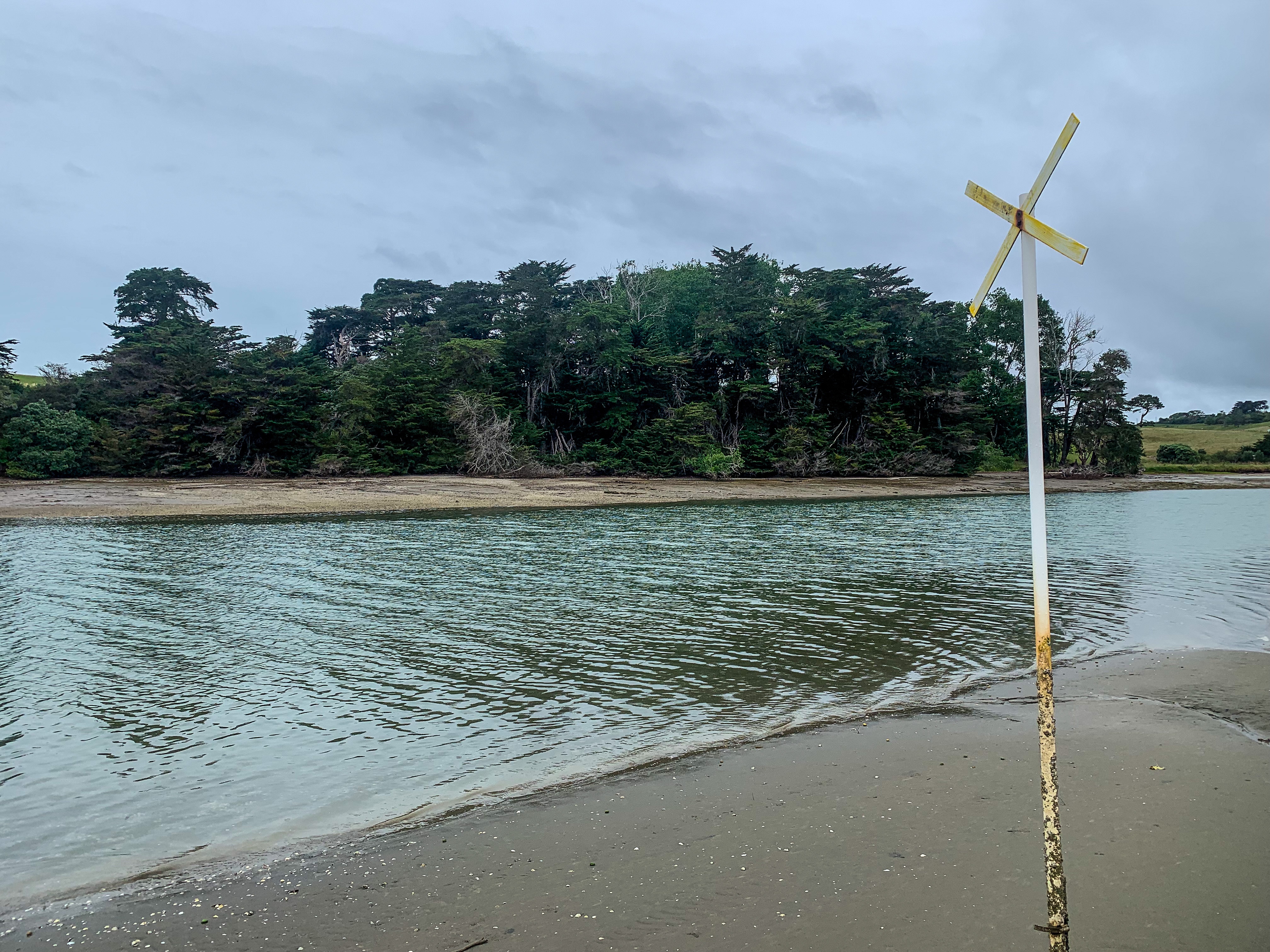
Careful trail note reading, triple checking tide times, confirming river crossing expectations with previous hikers and setting off early that morning to make it to the river twenty minutes before low tide did not prepare me for the crossing. Instead I was met with what appeared to be a deep (and in actual fact very deep) river mouth with the tide already flowing inland and me gradually sinking deeper into the mud. Counting the white markers from the river mouth (as the notes told me to do) I found the forth pole marked with a X and armed with my poles at the ready, Garmin in-reach attached to my person, bag unclipped and hoping everything was water tight started my crossing.
I made it… albeit wetter than I had planned
The North Shore Coastal Walkway highlights why Auckland is known as the City of Sail. Every beach has a yacht club and on Saturdays when you’re trotting through with a giant pack and soaked from your river crossing expedition you can expect to to find numerous opti trailers scattered along the beach as nice obstacles to dodge. As an Emirates Team NZ super fan (yes Facebook gave me that title) I was more than happy to watch the sailing from the shore, just a shame I couldn’t go out.
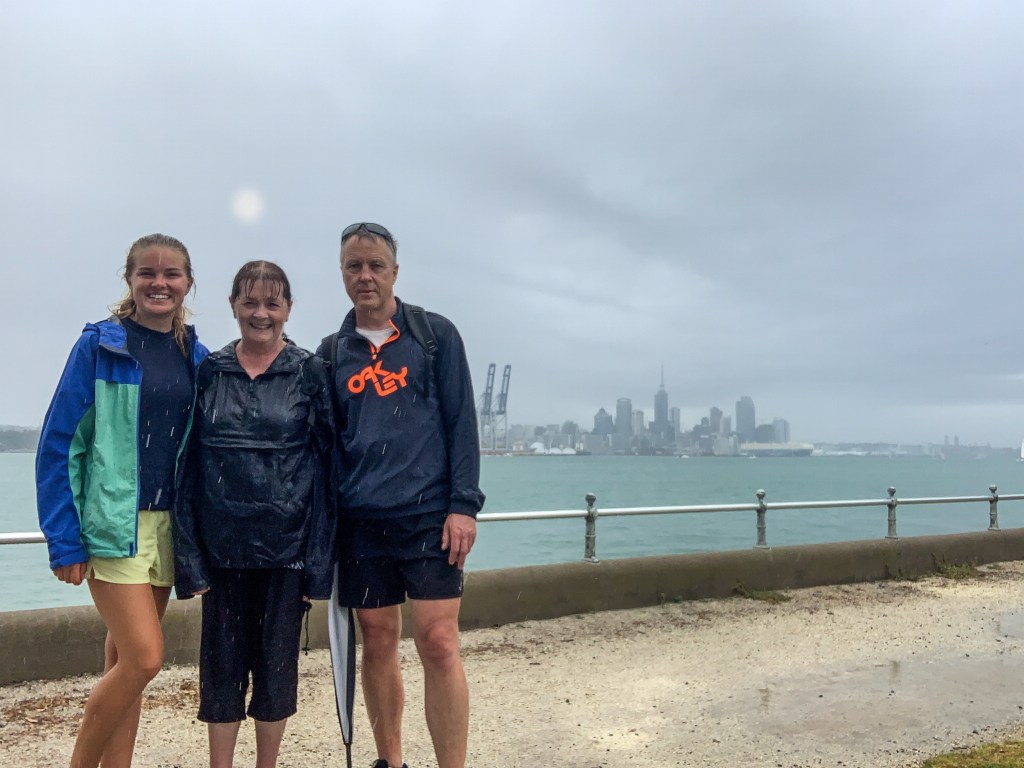
The coastal walkway was beautiful, admiring all the fancy homes, clean white sandy beaches, multiple rock walkways around the peninsulas and all with Rangitoto just across the harbour. Would recommend! My parents even joined me for the later part to welcome me into Auckland, they’d probably recommend the walk too 🙂
Mandatory made it to Auckland Sky Tower pic 🙂
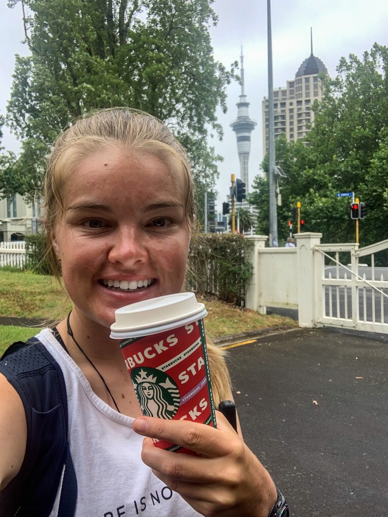
Tāmaki Makaurau/Auckland has the narrowest isthmus of Aotearoa with less than 2 kilometres spanning the width from east to west. This made waka/canoe portages back in the day easier and created the Coast to Coast trail that exists today from the Waitematā Harbour and the Pacific Ocean on one side, to the Manukau Harbour and the Tasman Sea on the other. The current Coast to Coast trail passes five volcanic sites and crosses over the Maungawhau summit (Mt Eden) and Maungakiekie summit (One Tree Hill).
Starbucks Selfie 😛
I walked the coast to coast trail with my mum as we were both quite excited to walk across the city and had never been to Maungawhau/Mt Eden. Wow did it rain! What started as a lovely stroll through Britomart with us enjoying everything a major city has to offer (really just me having a festive Starbucks drink because I couldn’t help myself) quickly turned into several hours of scurrying through a large city in torrential rain.
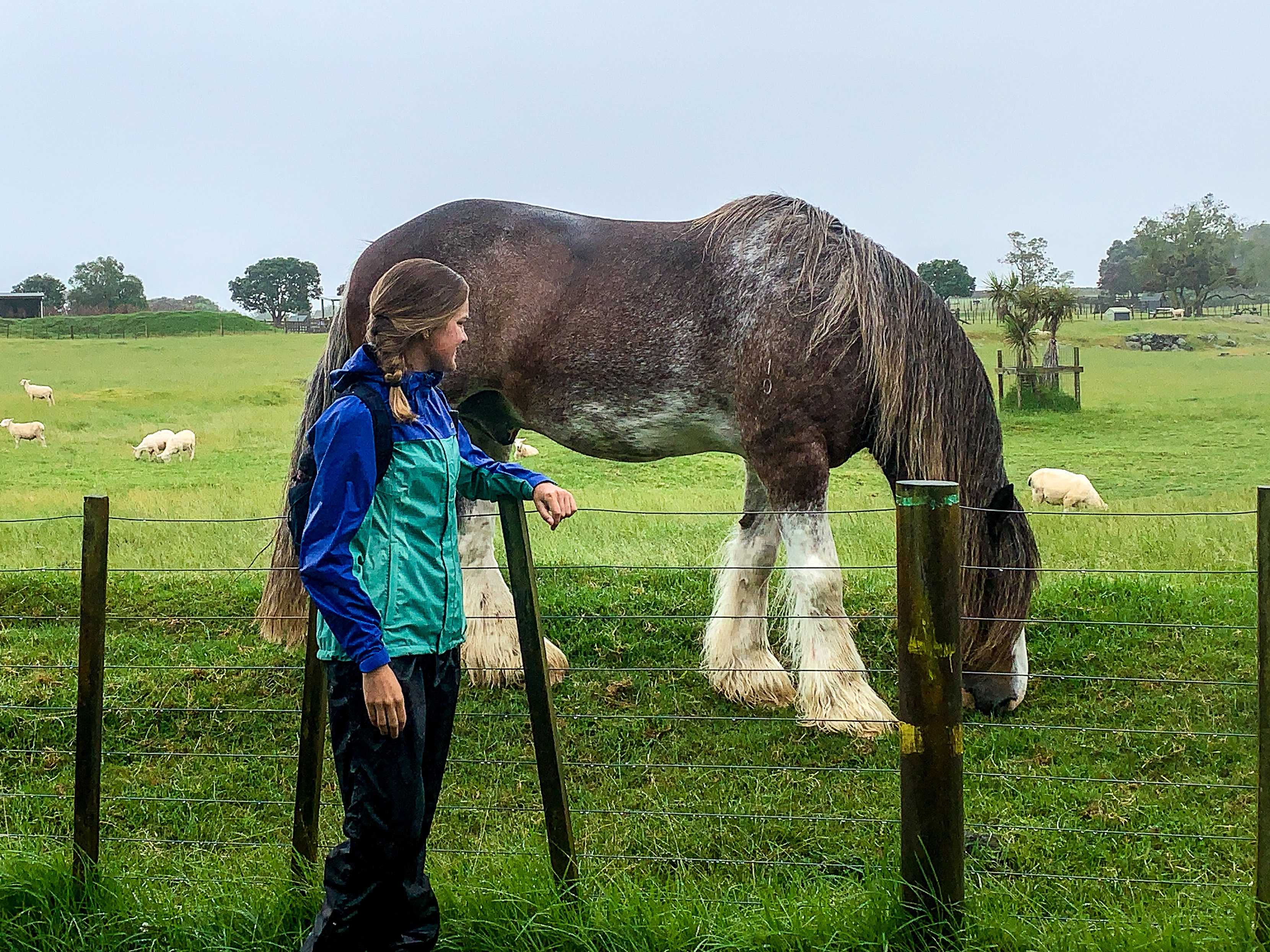
The next day is the longest I have walked on trail so far at 39km from Ambury Farm to the end of Papakura. If I thought it had rained the previous day then this was a monsoon. Cyclone Rubys storm had made her presence known to the occupants of JAFA land. Never did the rain ease and my waterproof clothing really got tested. Turns out nothing that has a hole big enough to fit your head through is really that waterproof. But to make the whole day worth being saturated and looking like a drowned rat I got to see my childhood favourites. As a kid I used to visit Ambury Farm a lot to see the 2 Clydesdale horses. They’re the coolest of the horse breeds incase you’re wondering and at various points in my life I have visited them when I was feeling happy, sad, confused, whatever and they always cheered me up. Well today was no exception. The horses were on full display chewing grass in the paddock and me in my rain coat and rain pants couldn’t have been happier to see them 🙂
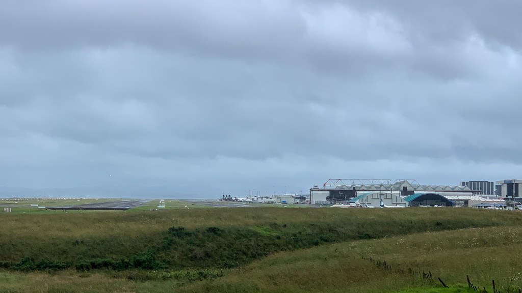
Interestingly, on walking past Auckland International Airport not a single flight taxied, landed or took off from the runway. Funny what a lockdown will do to ‘business as usual’, almost didn’t recognise it as the airport.
Auckland Airport… I think
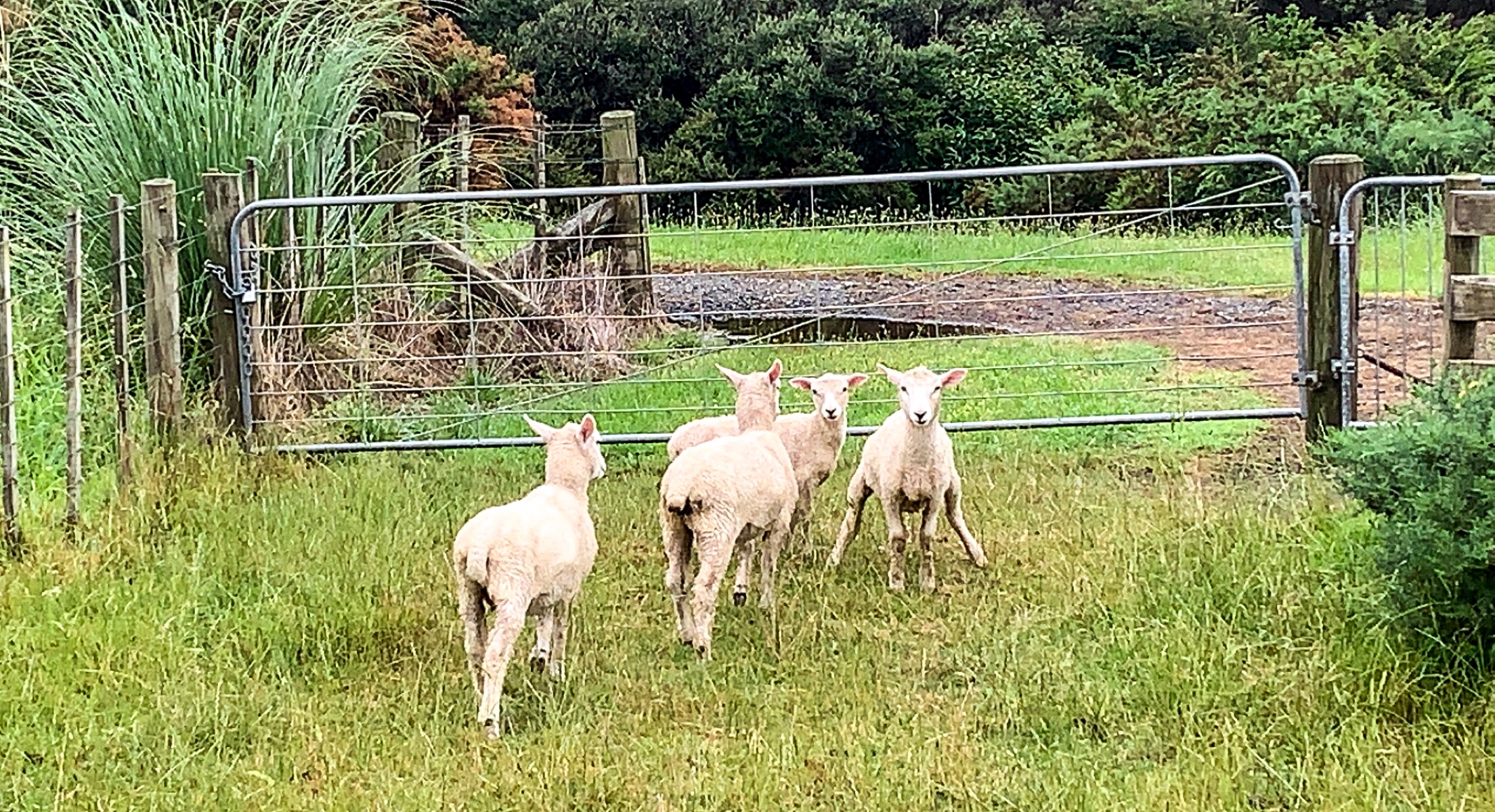
While the rain was persistent there were some woolly friends who seemed to be enjoying themselves outside. And the Manurewa Botanical Gardens looked pretty regardless.
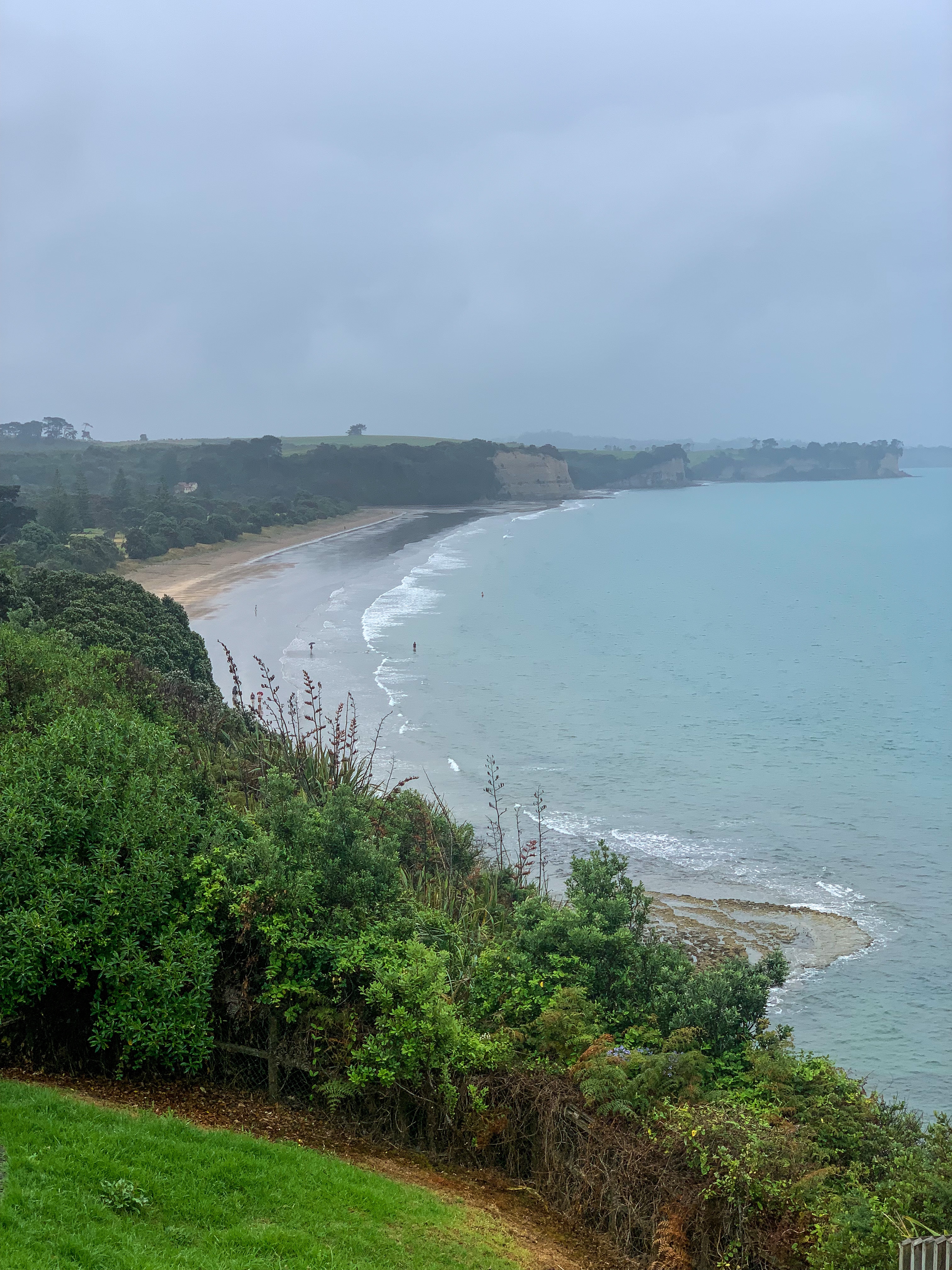
Mt Williams located south of Bombay was the last maunga for me to summit prior to leaving the Auckland section of the TA and provided a great view of the trail I’d conquered through Auckland and the mighty Waikato ahead.
Views from Mt William
And later that day I crossed another boundary marker. I had completed Auckland, couldn’t be happier!
“Isn’t it nice… once you’ve outgrown the ideas of what life should be and you just enjoy what it is.”
Taylor Jenkins Reid – After I Do
Day 15 – 20
Day 15 – Marsden Point to Waipū Cove ; 29 km
Day 16 – Waipū Cove to Mangawhai ; 32 km
Day 17 – Mangawhai to Pakiri Beach ; 17 km
Day 18 – Pakiri Beach to Dome Valley ; 26 km
Day 19 – Dome Valley to Puhoi ; 27 km
Day 20 – Puhoi to Stillwater ; 33 km
Total hiked: 562 km
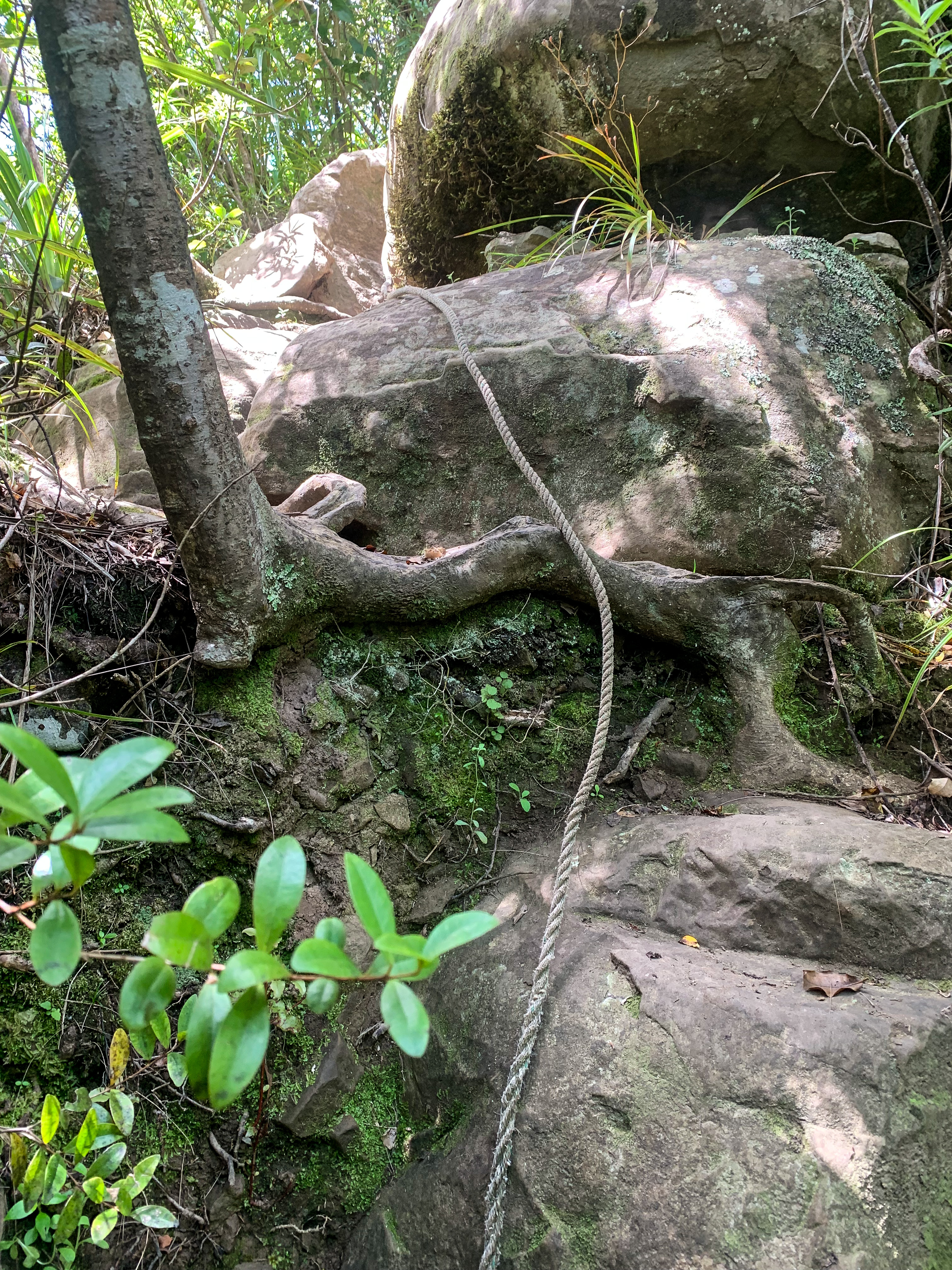
If you were to pack everything that the Northland section of trail has to offer into just 6 days it would be these days of trotting. Beach, elevation, mud, more elevation, river crossings, road, elevation again, rope climbing and steep descends. All en route to Auckland.
Marsden Point
Leaving Whangārei I was kindly (thanks Nate) and very early dropped off at Marsden Point. I began the day every TA hiker should by walking on a beach 🙂 Marsden Point and Ruakākā beaches to be exact. After a stint back on the road and a dodgy but perfectly timed car vs Alex bridge crossing into Waipū, I enjoyed an ice cream and trotted the last 8 kilometres to Waipū Cove campsite for my first night back on trail. It felt like I had never left.
The next morning I started bright-eyed and bushy-tailed for a predicted long day ahead, firstly backtracking some of the previous days trot to return to the trail. It was only 2 kilometres but by days end when you’ve been walking along dusty roads, sweaty, sore and dehydrated you wish for the 2 kilometres back.
Brynderwyn Walkway provides amazing views across Bream Bay and Mangawhai. After a long walk up an exposed forestry road I was very appreciative of any tree cover on offer and the view was an added plus.
The trail leading to Mangawhai Cliffs passes through private land… farm land to be specific. By now I feel like a seasoned pro at traversing cow paddocks, until I have to cross another one, freak out, take my hiking poles out for safety and run along the fence line; but yeah seasoned pro haha.
Mangawhai Cliffs Walkway
Finally making it to Mangawhai Cliffs Walkway that day felt like a great achievement. So obviously I took a subtle picture 🙂
Have you ever seen anyone more chuffed!!!
The day ended on an even bigger achievement – I crossed the boundary between Northland and Auckland. Well Kaipara and Rodney to be specific. Still. Only 2556 kilometres south to go.
Northland section done!
Entering the Auckland section of the trail brought with it crowds, humidity, other trail hikers, but most excitingly family. My parents joined me each for a day on trail.
Mum walked with me first and wow did she have a baptism by fire on trail from Te Arai to Pakiri Beach. The day was hot. Tide times meant we had to wade through dunes for half the beach. Sun reflecting off the sand all day. But amongst the sweat and sunburn it was great to be able to share this with her.
The trot to Dome Valley involved hiking through Omaha and Dome Forest which felt like a flashback to Raetea. Mud, multiple summits and fallen trees to scale over, with added rock and rope climbing made this the physically hardest day on trail so far for me! What a great for Dad to join 🙂 I did get to see where all my Auckland and Northland weather updates come from though!
We celebrated the end of a long day with a popsicle and well timed high five. 🙂
That night I stayed with Algies Bays finest, Nate’s Granny. She fed, showered and housed me; even dropping me back off at Dome Valley the following morning with a belly full of porridge. Mucho appreciated!
While Cyclone Ruby was yet to cause a downpour (that was to come) the pre-storm humidity and temperature rise was definitely felt during my subsequent days.
The next day on trail bought a first for me – I met other thru hikers. John and Elysia started their hike within Auckland borders and were on day 3 on trail. It was great to have new people to talk to, share stories, compare feet pain and sweat amongst. You can only talk to yourself for so long before even I start to question my sanity. Sadly we parted ways on entering Puhoi, but hopefully I will meet up with them and other hikers in the future. On arriving to Puhoi, in a state of extremely uncomfortable sweatiness (seriously this humidity was something ridiculous) I was greeted by Nate’s parents and a cold beer, thanks!!!
Puhoi Track
It’s funny how quickly something can become normal. Trotting from Puhoi to Stillwater I was back to just my company. Listening to audiobooks, singing to Tay Tay, dancing to music and talking to myself obviously. I really felt like I was in Auckland. Passing through Orewa and Silverdale with all the people around town, the cars, the traffic, the noise, I started to miss the secluded roads of Northland with just me and the occasional sheep. Arriving in Stillwater that afternoon after a final 8 kilometre busy road walk was a welcome relief.
Now to trot through New Zealand’s biggest city, I doubt there will be much road 😛
Day 13 – Omahuta Forest Road to Puketi Forest HQ ; 35 km
Day 14 – Raetea Forest ; 18 km
Total hiked: 398 km
Let the flip flopping begin!
Due to lockdown restrictions I was forced to skip the notorious Northland Forests, which in hindsight given the state I hobbled off Ninety Mile Beach in was probably a good thing. But now, in order to complete the remaining parts of Northland before heading to Auckland I had to welcome the mud!
If you look at a map or have hiked Te Araroa before you may notice that I completed the forests in a NOBO (north-bound for those not down with the hiking lingo) direction and the reason for this being RAIN, more specifically FLOODED STREAM concerns from RAIN. Realising that I was going to have to walk one of the forests in wet conditions I was faced with the decision of risking copious mud puddles in Raetea Forest or floating down the Mangapukahukahu Stream, the latter seemed worse. So NOBO hiking it is!
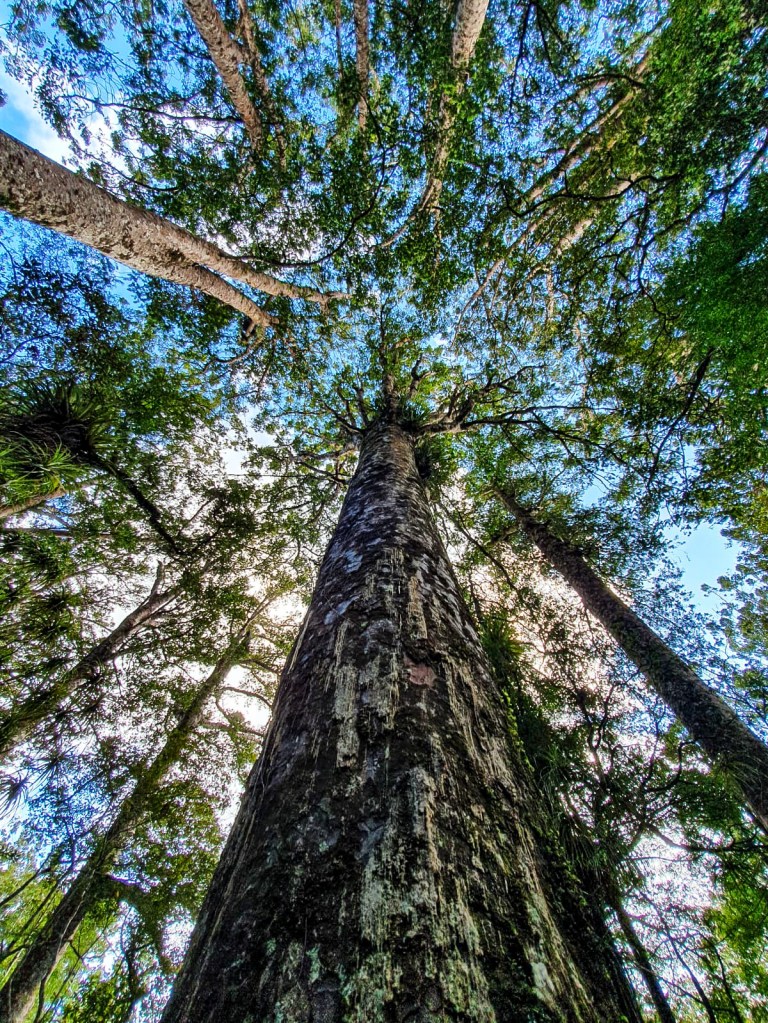
Mighty Kauri
Omahuta and Puketi Forests are normally completed in two days due to the road walking requirements in-between the forests and no camping allowed within the two forests. Whilst I do love a good road walk (note the sarcasm), in raining conditions with stream flooding and time constraints I opted to slack-pack (hiking with a day-pack while your backpack gets transported to the destination or in my case left at home) as this would make me lighter and hopefully faster in my trotting. Albeit this decision wouldn’t have been possible if I didn’t still live in Whangārei.
Starting from the Omahuta Forest road end I walked in a west to east direction, initially along gravel road, turning into compact dirt and latter a muddy bog trail to the start of the Mangapukahukahu Stream.
Prepare yourself for this masterpiece…
But not without passing a landmark – this giant tree stump. You may be wondering why? Well both Google and the TA trail notes highlight this stump as a possible point of interest, though slightly off the trail. Let me tell you, not only have I seen bigger tree stumps, I even saw bigger tree stumps within this very forest, but if this detour had been longer than 70 metres then I may have lost the plot (especially if I thought back to this moment 10 hours later as I waddled sweaty, tired and dehydrated out of Puketi Forest). But since I visited it I thought it best to share this magnificent stump so that no one else has to visit it!
Mangapukahukahu Stream
Mangapukahukahu Stream was a delight 🙂 In non-raining conditions and given the recent weather Northland had, the stream wasn’t overflowing; nil mangrove sludge, had a cooling effect on my usually overheating feet and is a coca cola colour. While the colour may deter some, I’m not judgy when it comes to my stream colours. Whilst I trotted through the stream criss-crossing between rock formations and waddling in ankle to shin sometimes knee high water, I felt like my river confidence had drastically improved and was really enjoying this style of hiking. Until the end.
Where the stream forms a confluence to create the Waipapa River there are orange triangles to mark the lowest possible route across. Unfortunately, unlike the rest of the stream with gentle currents and barely deep water this part at mid-thigh depth and quickly flowing had an undeniable force. As I shuffled myself across, knees bent and legs wide apart I became panicky rather quickly. I did safely make it across though and rewarded myself with lunch and a swim (back in the gently flowing water obviously) 🙂
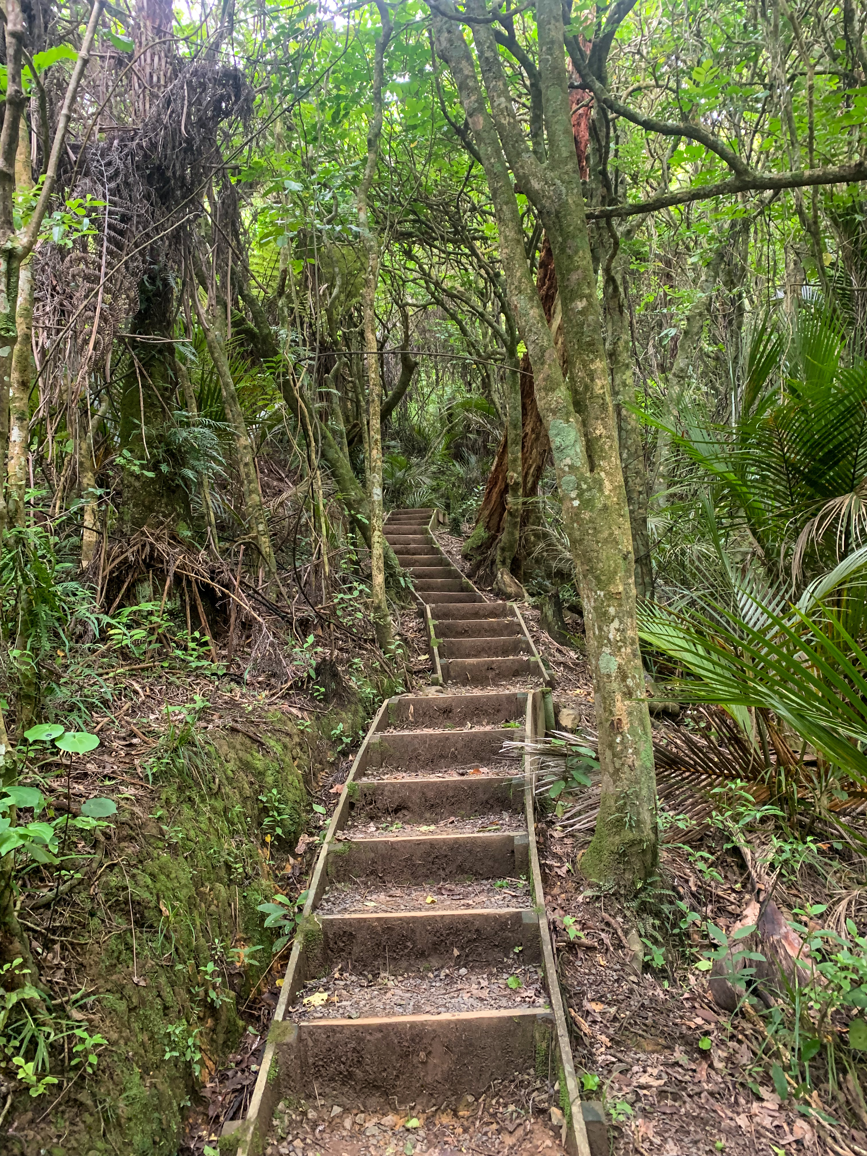
After this the trail continues through Puketi Forest, across fallen trees, paths lost to land slips and excessive mud puddles with spontaneous boardwalk and stair formations scattered in-between.
Normally I love the natural aspect of walking in a forest with barely formed trails and no sign of mankind, but I definitely jumped for joy (or fist pumped the air as the picture shows) when I saw the staircase leading up the 450m elevation realising I wasn’t going to have to fight slipping down the hill any longer.
The long day ended with a 9 kilometre gravel road walk into Puketi Forest HQ/campsite and a feeling of satisfaction at completing half of the Northland Forests, now to conquer Raetea Forest… in the rain 😦
View from Raetea Summit across the next three peaks
If you know anything about the TA trail then I’m sure you have heard people mention the mud in Raetea Forest. Hikers who are in the Tararua’s still have nightmares about this mud, it is voted one of the top 3 worst parts of the entire trail and its only 18km! But ready as I’d ever be I set out bright and early (super duper early) to trot this forest once and for all.
Predicted to be a heavily rainy day with moderate winds I couldn’t have been happier to arise in the morning (ridiculously earlier again I might add) to an overcast sky.
Not once during the entire walk did it rain where the clouds eventually moved and provided this beautiful glow throughout the forest. Though it did become very humid in the tree canopy cover, at least I was protected from the sun.
The only thing I had to contest with that day was mud and it wasn’t even that bad.
Moss bridge to bypass the mud puddle elation!
Maybe it was all the tales from others and reading peoples comments that prepared me for “horrendous Stewart Island level mud” as one trail walker in a previous season quoted but it was actually fine. Yes there were mud puddles. Yes placing a stick in them demonstrated that the mud would have gone quite far up my leg. But the mud was usually avoidable with a strategically placed branch or tree root and hopping adventure across, plus the views from Raetea summit were excellent.
Over the course of the forest I reached four peaks ; Raetea summit at 744m elevation, an unnamed highpoint near Mangamuka at 727m, Kumetewhiwhia summit at 638m and Umaumakaroro summit at 445m. Overall I enjoyed it. 🙂
Looking out from Raetea Summit to Ahipara
Northland Forests complete!
For those pedantic soles (I am one of them) who realise I have missed road walking kilometres of state highway 1 from Ahipara to Kaitaia and in-between the forests don’t fret. I made up the remaining 45 kilometres walking around Whangārei and Dunedin when I was there this past week. Walking Mt Cargill and Parihaka Hill seemed much safer than state highway 1.
Until next time, remember to HYOH (Hike Your Own Hike) and happy trotting everyone.